Altyndepe: A Bronze Age Urban Settlement in Turkmenistan
Site at a Glance
- Rating
- 3.9
- Popularity
- Very Low
- Country
- Turkmenistan
- Primary era
- Bronze Age
- Eras represented
- Stone Age, Bronze Age
- Civilizations
- Unclassified
- Site type
- City
On this page22 sections
History
Altyndepe is a Bronze Age urban settlement in Turkmenistan, developed by local agricultural and pastoral communities from the 5th millennium BC. It became one of the earliest urban centers in the region and reached its peak around the transition from the 3rd to the 2nd millennium BC. Its culture formed an early stage in the development of the later Bronze Age oasis civilization of the Oxus region.
From settlement to city
The earliest settlement, dating to the 5th millennium BC, covered about 6 hectares. During the 4th millennium BC, its occupied area expanded to approximately 12 hectares. By the beginning of the 3rd millennium BC, Altyndepe had grown into an urban center covering about 25 hectares. Irrigation channels made the surrounding fields cultivable, while residents raised cattle and later camels. Agriculture probably employed much of the population, which may have reached several thousand people during the settlement’s florescence.
Altyndepe’s growth took place through successive Chalcolithic and Bronze Age phases. Layers 14–9 are classified as a Middle Chalcolithic phase, while layers 8–6 belong to the Early Bronze Age. Layers 5–4 represent another Early Bronze Age phase, and layers 1–3 correspond to the Middle Bronze Age. Pottery was no longer painted during this last phase. The ceramic sequence is closely related to that of Namazga-depe, whose stages provide a broad chronological framework for the region, although the exact dating of individual Altyndepe layers remains difficult.
Regional connections
Altyndepe maintained close cultural and religious connections with Mesopotamia and exchanged goods with the Indus, or Harappan, cultural sphere. The Harappan civilization was the urban culture of the Indus Valley and neighboring regions, recognized archaeologically through distinctive stamp seals and writing. Indus-related seals, ivory objects, and an object bearing Harappan writing reached Altyndepe, while local craftspeople imitated some forms associated with ancient India.
Trade routes connected the settlement with southern centers in Elam and Babylonia, as well as with pastoral regions to the north and east. Products made at Altyndepe have been found as far away as Tajikistan and the Fergana Valley, roughly 500–600 kilometers from the settlement. These connections placed the city within a wide network of exchange extending across Central and Southwest Asia.
Decline and archaeological investigation
Altyndepe’s settlement ended by the 18th century BC, but the reason for its decline remains unresolved. Suggested explanations include water shortages and the influence of pastoral tribes that became established in Central Asia. By the middle of the 2nd millennium BC, the main cultural focus had shifted eastward toward new agricultural settlements along the lower Murghab and middle Amu Darya.
Large-scale excavation began in 1965, followed by intensive investigations during the 1970s and 1980s, largely under the direction of the Academy of Sciences of the Soviet Union. Thirteen excavation areas were opened within the urban settlement, and 28 occupational layers were distinguished. Excavation reached the deepest layer approximately 8 meters below the mound surface. Later oasis communities may have descended directly from the people who developed Altyndepe’s civilization, since they retained several of its cultural characteristics.
Remains
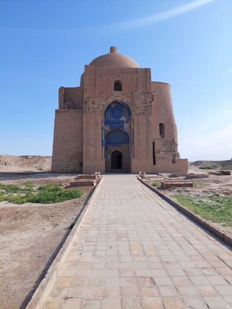
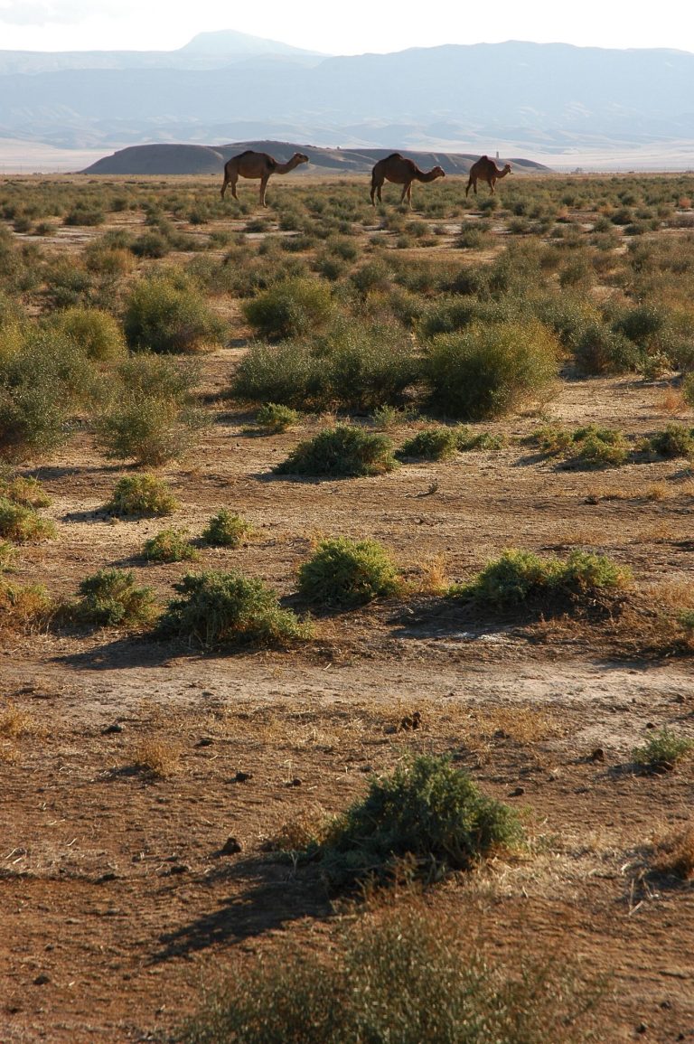
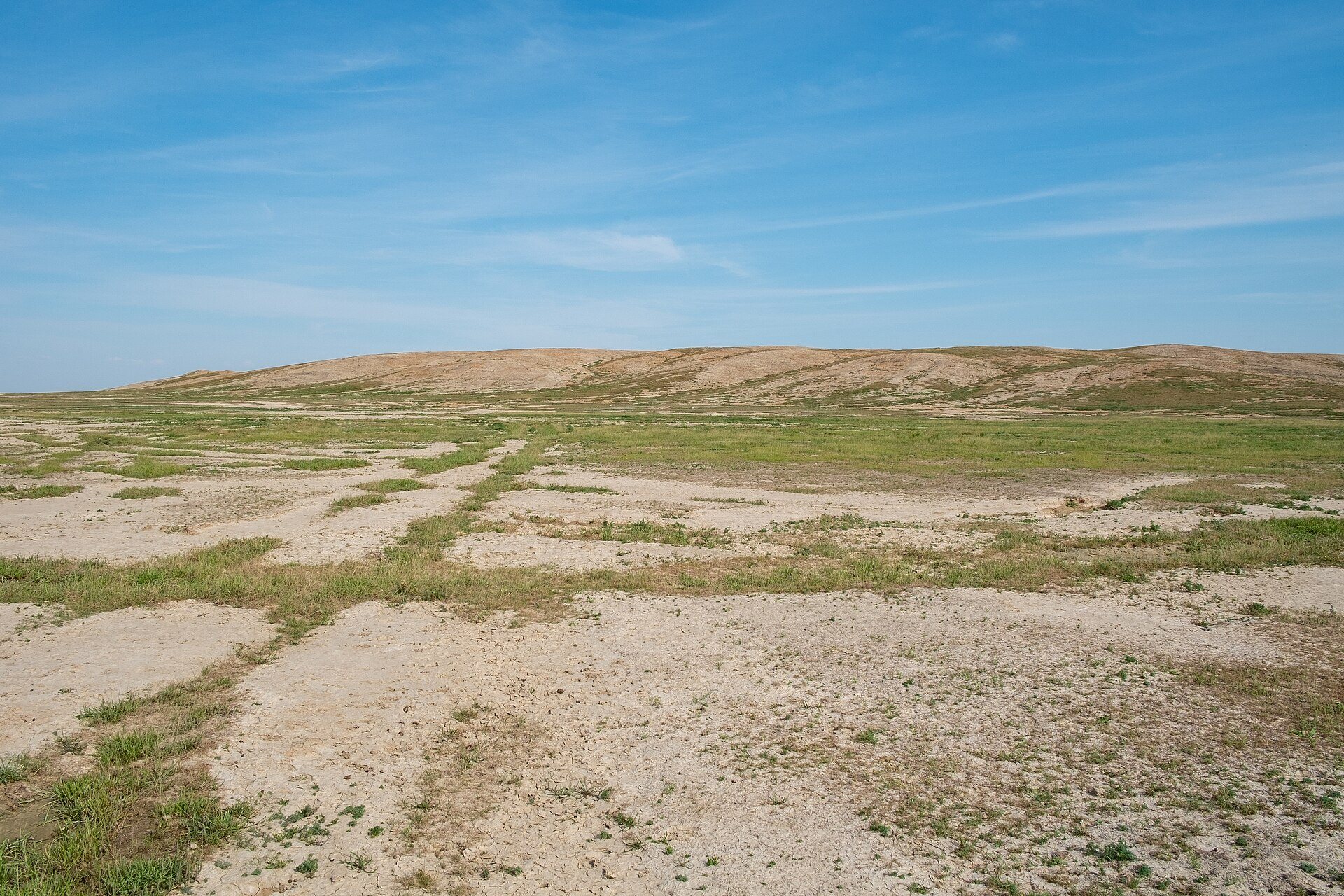
Altyndepe survives chiefly as an archaeological mound and its buried deposits, in an area now characterized by the Karakum Desert near the foothills of the Kopet Dag. The mound rises about 22 meters, and the settlement developed outward and upward through successive occupations. Early habitation concentrated along the eastern and western edges; later growth covered the northern half and eventually filled the hill with densely arranged urban quarters. By the early 3rd millennium BC, an adobe wall enclosed the city. The wall was reported as up to about 2 meters thick and included rectangular or tower-like strengthening elements, while the steep hill added natural protection.
Urban quarters and houses
Residential districts
Excavation area 9 in the eastern part of the settlement exposed a substantial quarter apparently occupied by wealthy residents. Excavation areas 10 and 13 revealed poorer residential districts, while areas 3, 5, 8, and 12 also contained houses. The city was divided into several quarters, including a craft district with narrow streets, larger housing blocks, and numerous ovens. The wealthier quarter had broader streets, carefully built houses, and courtyards. Some houses there measured approximately 80–100 square meters.
North residential district
A residential district about 50 meters north of the main excavated area included a road running almost exactly north–south. Houses stood on both sides, divided into dwelling units usually containing four or five rooms. Most had at least one room with a hearth, apparently used as a kitchen. Walls were often plastered, sometimes preserving traces of red paint, and included niches.
Northeastern buildings
Another residential area at the extreme northeast of the mound contained a lane between two building complexes, a smaller southern lane, several courtyards, and rooms with hearths. Burials and grave goods occurred in this quarter. Room 10 contained a bench built into its western wall, which also had two half-cross-shaped, window-like openings. Two female clay figures, six additional human figures, animal figures, and substantial ash deposits led excavators to interpret the room as a possible household shrine.
Burials beneath houses
Burial chambers and graves were placed beneath houses and within residential areas. Some chambers held several interments together with grave goods, including necklaces made from varied beads and belts of beads worn by the dead. These burials formed part of the domestic and neighborhood organization of the settlement.
Temple complex
Stepped religious tower
The principal religious monument was a four-level, ziggurat-like tower about 12 meters high, with a base approximately 26 meters on each side. A ziggurat is a monumental stepped platform or tower associated especially with ancient Mesopotamian religious architecture. The tower stood at the western edge of the city against a slope. Its monumental front rose several meters, while its rear reached the level of the slope, reducing the material needed for construction.
Several construction phases were identified in the religious complex. The tower was probably dedicated to a moon deity represented by a bull’s head, and a place for sacrifices stood at its summit. Its stepped outline and vertically articulated walls show Mesopotamian architectural influence. The complex has also been described as “proto-Zoroastrian,” a modern label proposing possible links with religious traditions later associated with Zoroastrianism. That interpretation does not establish a connection with the historical Zoroastrian religion.
Buildings behind the temple
Behind the temple lay a cemetery associated with priests, a building interpreted as the chief priest’s residence, and numerous storage rooms. South of the temple stood a six-room building with a long corridor along its northern side. Five further rooms formed a row to the south and were connected by doorways.
Ritual burial building
The six-room building contained numerous skeletons and grave goods and appears to have remained accessible for repeated rituals. New burials were added over time, while earlier remains were moved aside. In each sequence, the latest burial was the one left undisturbed and arranged anatomically. Room 7 contained an altar. Room 9 held remains of at least 11 skeletons and seven niches. Bones from one skeleton sometimes lay in different rooms, apparently because remains were moved during ritual activities.
City gate
Southern entrance
The southern city gate, excavated in area 11, passed through several construction phases. In its latest form it was about 15 meters wide and flanked by two tower-like buildings whose outer surfaces were articulated with pilasters. Three walls divided the entrance into four passageways. Three narrow routes apparently served pedestrians, while the wider eastern passage was intended for wheeled traffic.
Crafts and objects
Ceramics and figurines
Altyndepe’s principal ceramics were often decorated with geometric designs, especially varied zigzag patterns. Other finds include stone vessels, terracotta female figures, bull figures, less common male figures, and terracotta boxes with cassette-pattern exteriors. The female figurines were generally nude, without legs and with shortened arms. Their sexual characteristics were emphasized, while their hair, eyes, and noses were highly stylized, and mouths were often omitted.
Metalworking and seals
Numerous bronze, stone, and clay seals were recovered from the settlement. Metal seals carried relief decoration made through lost-wax casting, a process in which a wax model is removed before or during the casting of the final object. Their designs included cross-shaped flowers and mythical animals. Numerous crucibles show that copper was processed at Altyndepe, where craftspeople also made objects from copper alloys, bronze, brass, silver, and gold, including vessels, mirrors, pins, rings, bracelets, and seals.
Indus-related materials
Two seals associated with the Indus cultural sphere were found at Altyndepe. One bears an inscription of two signs and the other a swastika. Ivory objects, Harappan-type stamp seals, and hundreds of beads made from agate, carnelian, lapis lazuli, gold, silver, and other semi-precious materials further reflect the settlement’s long-distance connections.
Vehicles and animal figures
Models of two-wheeled carts dating to about 3000 BC provide the earliest complete evidence of wheeled transport in Central Asia. Model wheels may come from somewhat earlier contexts. Cattle or oxen initially drew the carts, while a model of a camel-drawn wagon shows that camels were used by at least 2200 BC. Cart models were also placed in child burials, perhaps as ritual objects or toys.
Gold burial objects
A grave near the sanctuary contained gold heads representing a bull and a wolf. Excavators interpreted the burial as that of a priest. Together with the sanctuary cemetery, ritual building, seals, figurines, and metalworking equipment, these objects illuminate the religious and craft activities preserved within the settlement.