Altino: An Ancient Venetic and Roman Port Town in Italy


Site at a Glance
- Rating
- 4.5
- Popularity
- Very Low
- Country
- Italy
- Primary era
- Classical
- Eras represented
- Iron Age, Classical
- Civilizations
- Roman
- Site type
- City
On this page15 sections
History
Altino is an ancient Venetic and Roman settlement in Italy, situated near the mainland shore of the Lagoon of Venice. It began as a Venetic centre in the mid-8th to mid-7th century BCE and later became a flourishing Roman port, trading centre, and municipium, a town whose citizens held Roman citizenship and whose local government retained a degree of autonomy.
Venetic beginnings
Human activity in the area reaches back to the 10th millennium BCE, but the earliest settlement nucleus belongs to the mid-8th to mid-7th century BCE. During the 7th century BCE, the settlement shifted slightly northwest and occupied its historic position on an artificial mound. This raised ground stood among marshes and waterways near the mouths of the Dese, Zero, and Sile rivers, providing a defensible and useful setting for a community connected to both inland routes and the northern Adriatic.
Altinum became a major Venetic port during the protohistoric period. A sanctuary established by the late 6th century BCE expanded during the 5th and 4th centuries BCE and developed into one of the principal pre-Roman religious centres in the region. Inscriptions connect it with Arno or Altinum, a Venetic deity whose name may explain the name of the settlement. The sanctuary also helped protect commerce in agricultural and manufactured goods, horses, and imported products arriving from the Mediterranean and from regions beyond the Alps.
Venetic relations with Celtic communities are visible from the late 6th or early 5th century BCE. Trade followed routes along the Adige and Piave rivers and involved high-ranking families, intermarriage, and the settlement of some Celtic individuals. Celtic objects entered elite burials. After Gallic incursions into the Po Valley in the early 4th century BCE, cultural identities gradually changed. At Altino, some burials shifted from cremation to inhumation and included weapons, indicating the presence of foreign groups who may have been traders, workers, or mercenaries.
Horses held social, economic, and religious importance in pre-Roman Altinum. About thirty horses were buried in the northern cemetery, while further animals were placed in a pit at the sanctuary. Most of these deposits belong to the 4th and 3rd centuries BCE. Ritual sacrifice continued at the sanctuary into the Roman imperial period, linking the religious history of the Venetic settlement with that of the later town.
Romanisation and municipal development
Altino’s transformation into a Roman town began with the drainage and regulation of its marshy surroundings and the expansion of its canal network. An alliance between the Veneti and Rome was established in 225 BCE. The foundation of Aquileia in the first half of the 2nd century BCE then accelerated the Romanisation of the region, a gradual adoption of Roman political institutions, citizenship, infrastructure, economic practices, and cultural forms.
The Via Annia was built sometime between 153 and 131 BCE, connecting Altino with Atria, Patavium, and Aquileia. The Via Popilia, constructed in 131 BCE between Ariminum, Ravenna, and Atria, probably also reached Altino. These roads connected the settlement with important centres and supported the movement of goods. Because the surrounding land was vulnerable to flooding, the roads were built on embankments.
Roman, Latin, and Italic merchants, including equestrian business families from Aquileia and Virunum, contributed to Altino’s growing Roman character through profitable trade. The inhabitants received Latin rights in 89 BCE, full Roman citizenship in 49 BCE, and assignment to the Scaptia tribe. The town probably became a municipium around 42 to 40 BCE. Its possible status as a colonia remains uncertain.
During the civil wars of 42 to 40 BCE, Gaius Asinius Pollio controlled Venetia for Mark Antony with seven legions. His activities near Altino may have included distributing land to veterans and establishing the colony of Iula Concordia. He may also have assisted the grant of municipal autonomy to towns in the region.
Prosperity in the Roman period
Altino reached its greatest prosperity between the 1st century BCE and the 2nd century CE, with its maximum urban extent probably attained during the 1st century CE. Its area and scale were comparable to, or somewhat larger than, Pompeii. The town served as a major port and commercial hub, while wool production and trade formed an important part of its economy. Agriculture, salt production, and probably glassmaking added to its range of activities.
The establishment of Ravenna as a major naval port by Octavian between 31 and 12 BCE increased the importance of the upper Adriatic and benefited Altino. Under Tiberius, temples, porticoes, and gardens were constructed or developed. In 46 CE, Emperor Claudius opened a branch of the Via Claudia Augusta from Altino to Tridentum. This extended a route begun by Drusus in 15 CE toward the Po Valley and the Danube frontier. Claudius also built a coastal road to Atria and extended the navigable lagoon route through the fossa Clodia toward Ravenna.
Altino was drawn into the military conflicts of the Roman Empire. In 69 CE, during the civil wars that followed the death of Nero, Marcus Antonius Primus was received at Altino after occupying Aquileia. He supported Vespasian against Vitellius, and a military contingent remained in the town to guard against a possible attack by the Ravenna fleet. In 169 CE, during the Marcomannic Wars, the co-emperor Lucius Verus fell ill near Altino, was taken there, and died after three days. His death was traditionally attributed to apoplexy, although it has also been associated with the Antonine Plague.
Late Antiquity and the movement toward the lagoon
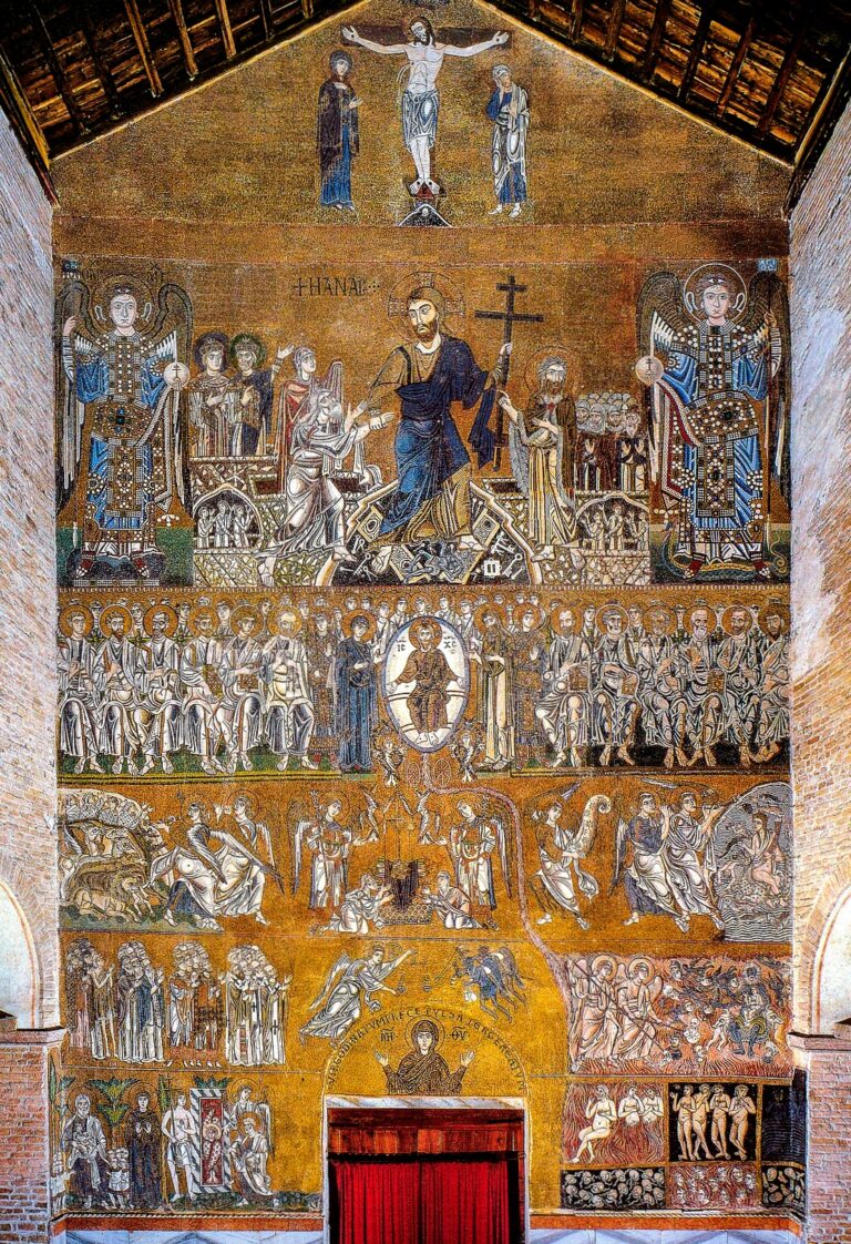
Altino began to decline after the 2nd century CE. Its surroundings became increasingly marshy, and the port gradually became less usable as sea-borne sand accumulated and turned into mud. Trade shifted over several centuries toward settlements in the lagoon, especially Torcello. Archaeological evidence indicates a gradual movement into the lagoon rather than a single sudden migration from Altino.
By the 4th century CE, Altino was a bishopric, a Christian district administered by a bishop. Heliodorus of Altino, its first bishop, attended the anti-Arian Council of Aquileia in 381. Christian writers described numerous churches and martyr shrines in the town. Sixteen imperial laws issued at Altino between 364 and 399, together with evidence of imperial stays and administrative activity between 364 and 406, show that the settlement retained political importance in Late Antiquity.
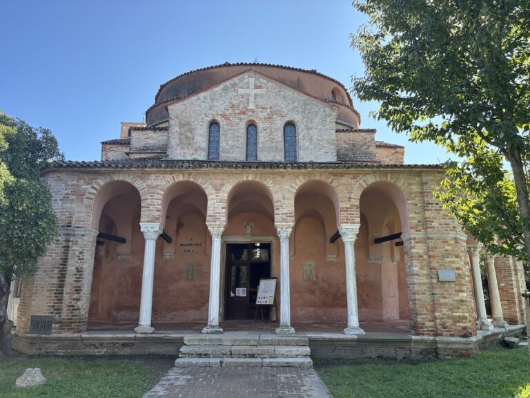
Attila’s forces destroyed Altino and other regional settlements in 452. The long-standing tradition that refugees from Altino founded or populated Torcello, and later contributed to the development of Venice, preserves a historical connection between the ancient town and the lagoon city. The archaeological evidence, however, points to a movement that unfolded over time.
After the collapse of western imperial rule, Altino passed through Ostrogothic and Byzantine control before eventually entering the Duchy of Treviso within the Lombard kingdom. A letter of 590 from the Byzantine commander in Altino confirms that the town still had walls, and the bishop of Altino took part in the Synod of Marano in the same year. The bishopric moved to Torcello sometime between the 5th and 7th centuries, although its bishops retained the juridical title of bishop of Altino for centuries. Lombard attacks around 639 to 640 caused further movement toward the lagoon, after which the Byzantines reoccupied Altino on a reduced scale. The transfer of the see was fully resolved only in the early 11th century.
Abandonment and archaeological rediscovery
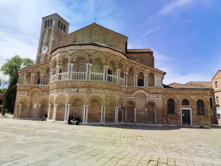
By the 10th century, Altino had ceased to function as a permanent settlement. Hungarian raiders reached the lagoon around 899 to 900 and are associated with the town’s final destruction or abandonment. The remains became a source of building stone for Torcello, Murano, other lagoon islands, and Venice. Altino materials and inscriptions were later identified in Venetian buildings.
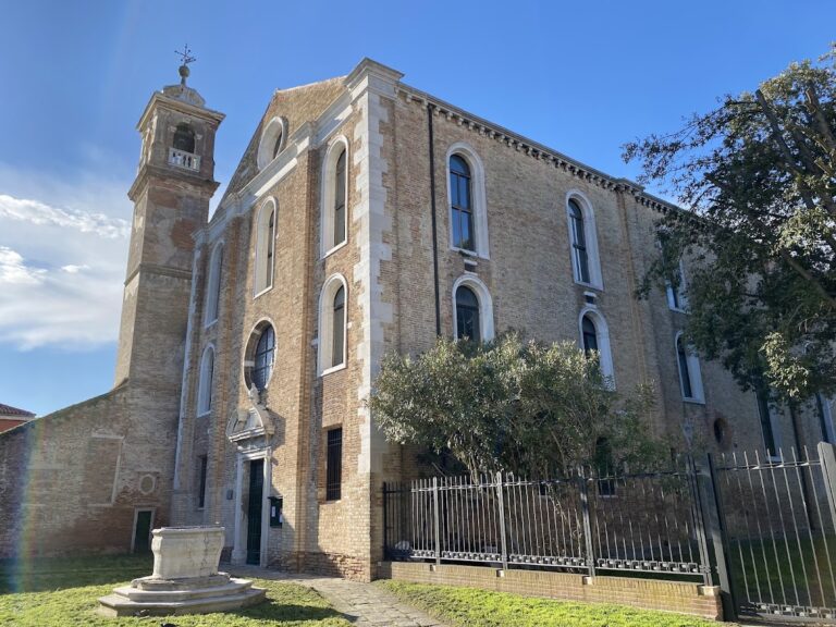
Medieval records show that districts or villages called Altino Maiore and Altino Pitulo still existed in 1095. They included the former cathedral of Santa Maria and the churches of San Martino and Sant’Apollinare. After Venice annexed the Treviso area in 1388, wealthy Venetians established the agricultural village of San Michele del Quarto near the ancient site.
The marsh was drained in the early 20th century, allowing systematic archaeological investigation. Altino is one of the few large Roman towns in Europe not covered by a later medieval city. Excavation was combined with geophysical survey, aerial photography, geomorphological analysis, and remote sensing. In 2007, a University of Padua team used visible-light and near-infrared aerial photography taken after prolonged drought, together with a digital elevation model, to reconstruct the urban form and environmental setting across approximately 100 hectares. The archaeological area forms part of the Venice and its Lagoon UNESCO World Heritage Site, inscribed in 1987. Altino is no longer a residential diocese, but the Catholic Church retains it as a titular see, a title preserving the name of a former or non-residential bishopric.
Remains
The raised settlement and early buildings
Ancient Altino occupied a raised area about 2 to 3 metres above the surrounding marsh and lagoon landscape. In Roman times, the lagoon shore probably reached the foot of the mound, and water may have partly surrounded the town. This setting shaped the settlement’s canals, embankments, roads, cemeteries, and port facilities.
The earliest known large building measured approximately 13 by 6.75 metres. Active in the second half of the 8th century BCE, it contained two unequal internal spaces that probably supported a double-pitched roof. A portico was later added along its narrower side. The building was abandoned in the first quarter of the 7th century BCE and is among the earliest square-plan buildings known in the Veneto. After a short period of abandonment, the area became a workshop zone with a wooden well connected to a small canal system and a small furnace. By the mid-7th century BCE, it had been converted to religious use.
Pre-Roman sanctuaries
Two sacred areas occupied roughly opposite positions north and south of the settlement. One is known through fragments of an altar dedicated to Belatukadro. The other, excavated between 1997 and 2000 in the area of the museum, was the principal pre-Roman sanctuary.
The sanctuary consisted of a large open courtyard enclosed by a rectangular portico. Two symmetrical cells stood at the centres of the short sides, while two large ash altars were placed inside the courtyard parallel to them. Pits containing sacrificial remains and votive offerings lay outside the enclosure. Horse deposits occurred both at the sanctuary’s edge and in the northern cemetery. Roman-period ritual deposits included about twenty horses as well as cattle, sheep, goats, and pigs. The heads and parts of the hind legs or tails had been disarticulated, skinned, and stripped of flesh.
Canals, docks, and town boundaries
Waterways marked the boundaries of the Roman town, with cemetery areas beyond them. A main west-east canal crossed the settlement, while elongated semicircular canals defined its northern and southern limits. All three waterways reached the River Zero west of the town. The Siloncello canal ran diagonally from the River Sile toward the northeastern edge of Altino. Its southern extension joined the other town canals and reached the Santa Maria canal, which ran from the Dese to the lagoon at the Palude di Cona. Boats could approach the port from the east through the Siloncello and from the west through the Santa Maria canal.
The Siloncello also extended toward the mouth of the Sile and helped transport wood from the Cadore forests along the Piave route. A mooring installation about 192 metres long stood on its western bank a few hundred metres north of the town. Between 1988 and 1993, a riverside dock with porticoed warehouses was identified on the western bank of a north-south canal aligned with the Siloncello. The dock and canal bed lay beneath Augustan-period urban structures, and the canal was filled during that period.
Gates and commercial quays
A monumental northern gate probably dating from the first half of the 1st century BCE had a decorated central body containing a passage and two angular towers. Short wall sections joined the towers, and the structure rested on heavy oak piles. It stood above the canal forming the northern boundary. The cardo maximus, the principal north-south urban road, may have crossed the waterway on two arches. The boundary canal connected the port with moorings near the northern edge of the town and with the beginning of the Via Claudia Augusta. It survived as a ditch, appeared on a 16th-century map, and was still relatively broad and connected to the River Zero in the late 19th century.
Near the northern gate, a brick dock foundation discovered in 1972 measured 16.3 metres and had a fully curved frontal arch. It was connected to a large building, probably a warehouse, and its materials date from the late 1st century BCE to the mid-1st century CE. On the opposite bank, a porticoed dock complex extended along the canal for more than 120 metres. The canal itself was about 10 metres wide.
Another porticoed dock and large associated building stood along the southern boundary canal, immediately before the northern end of the bridge carrying the Via Annia into the town. Probably dating from the late Republic, this complex occupied the southern entrance and connected with both the Santa Maria canal and the Via Annia. The southern extension of the Siloncello was blocked in the final decades of the 1st century CE as the town expanded eastward. This alteration formed part of the urban changes associated with a new Augustan-period neighbourhood.
Public buildings and urban districts
Altino contained walls, gates, streets, waterways, residential districts, and monumental buildings. Remote sensing has identified a forum, amphitheatre, theatre, odeon, capitolium, and basilica. A capitolium was a temple dedicated to Jupiter, Juno, and Minerva, while a Roman basilica generally served civic, legal, and commercial purposes. Several of these buildings are known chiefly through aerial or geophysical evidence.
The political and administrative centre occupied the northernmost part of the town. The theatre measured about 120 metres in length and had a radius of 60 metres. It dates from 40 to 20 BCE and was among the earliest theatres in northern Italy and among the earliest constructed in an Italian provincial town. The odeon was approximately half its size. Outside the northern boundary, beyond the canal, stood the amphitheatre. Its long axis measured about 150 metres, making it comparable in size to the Arena of Verona and larger than the amphitheatres of Padua and Aquileia.
Excavations in 1995 to 1997 identified a large baths complex used from the 1st to the 3rd century CE. Investigation beneath a town gate in the early 1990s changed the gate’s date from the Augustan period to the first half of the 1st century BCE and revealed remains connected with an imposing foundation ceremony.
Cemeteries and funerary monuments
Systematic cemetery excavations in 2000 uncovered more than 2,000 tombs and an exceptionally large number of funerary monuments. The cemetery beside the Via Annia contained monumental burials from the late Republican and Augustan periods, including lavish baldachin-type mausolea, tombs arranged around a canopy-like architectural form and derived from Aegean and eastern models.
During the 1st century CE, these monumental burials gave way to numerous funerary enclosures arranged along both sides of the cemetery. Some followed a close parallel alignment for more than 170 metres. Mausolea, other funerary buildings, and simpler burial areas alternated among them. Cylindrical and octagonal altars, characteristic of Altino’s sculptural art, recurred in the enclosures and may have been arranged in pairs at their corners.
The northern pre-Roman cemetery covered the entire northern strip of the town and extended to the left bank of the River Zero. The northern section of the Via Annia later crossed it, as did a Roman-period cemetery. Watercourses separated the burial areas from the settlement and probably formed part of funerary ceremonies.
Land division, roads, and industry
Ditches and small canals in the area of the Via Claudia Augusta belong to late antique land division and maintenance works. Larger parcels connected with ditches and canals were also identified southwest of Altino near the lagoon edge, south of the town, and at Portegrandi.
Surveys east of the town identified a possible urban district with roads and an apsidal building corresponding to the area of the late Republican monumental gate. Plinths, supporting bases for columns or other structural elements, lined the main canal and a secondary canal. The foundations of a brick quay rested on wooden piles, and seven rectangular plinths were associated with a large warehouse, indicating a commercial quarter.
Surface surveys in 2012 and 2014 recovered pottery, architectural fragments, coins, clay objects, plaster, mosaic tesserae, and stone fragments. Three northeast-southwest gravel roads averaged about 7 metres in width, and another road ran parallel to the northern canal. A further feature with a similar orientation may have been a canal. Concentrations of glass waste and crucible fragments suggest that glassworks operated at Altino and support the possibility that the town participated in Roman glass production.
Buried urban landscape
A Roman route between Altino and Chioggia was built on an embankment. One surviving structure measured approximately 52.7 metres in length and 2.7 metres in height and could be traced for about 1,140 metres. Together with the canals, quays, roads, public buildings, residential areas, and cemeteries, it illustrates an urban system adapted to marsh and lagoon conditions.
Many remains lie at least 40 centimetres below the surface. Light crop marks reveal buried stonework and building outlines, while dark marks indicate depressed features such as ditches and canals. After the town ceased to be a permanent settlement, alluvial deposits and cultivated land covered the ancient structures. Buildings, cemetery stones, and other materials were gradually removed and reused in Torcello, Murano, other lagoon settlements, and Venice.