Alte Schanze: An Earthwork Fortification in Lower Saxony
Site at a Glance
- Popularity
- Very Low
- Country
- Germany
- Primary era
- Medieval
- Eras represented
- Medieval, Modern
- Civilizations
- German
- Site type
- Military
- Remains
- Fort
On this page7 sections
History
Alte Schanze is an enclosed defensive site formed chiefly from earthworks on Oyler Berg in Oyle, Marklohe, Lower Saxony, Germany. It is thought to have originated between the ninth and eleventh centuries, although its precise date and purpose remain uncertain because it has not been archaeologically investigated. Comparable fortifications in the Middle Weser, Deister, and Leine regions are broadly dated from the eighth to twelfth centuries. Alte Schanze may have belonged to a noble landholder and served as a refuge for him, his property, and his retinue in times of danger.
In 1831, the United North German Choral Societies, an association of men’s choral societies, were founded at the site.
In the late nineteenth and early twentieth centuries, prehistorian and fortification researcher Carl Schuchhardt drew Alte Schanze and included it in an atlas of prehistoric fortifications in Lower Saxony. In July 2013, students from the University of Hanover surveyed the fortification and six hectares of its surroundings, producing a map and a virtual 3D model.
Remains
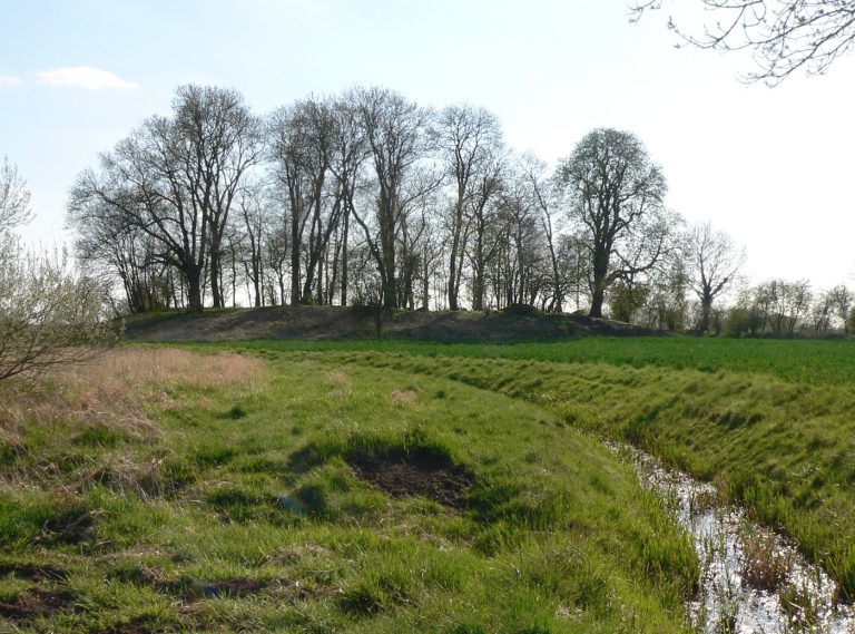
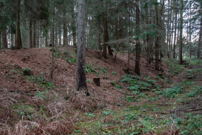
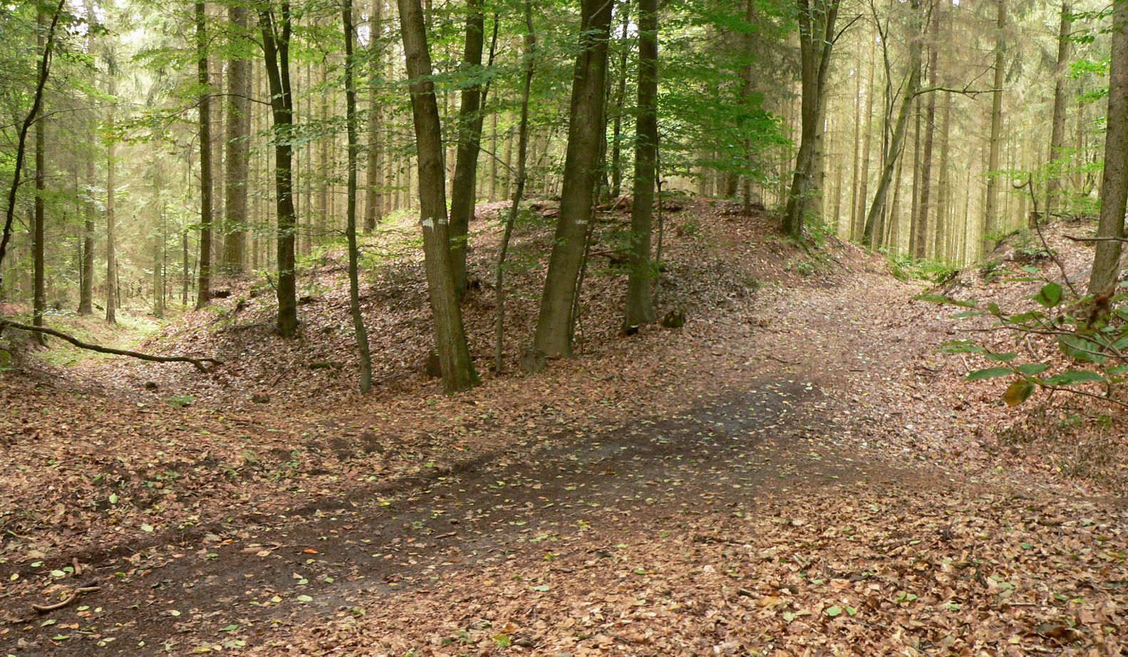
The site is a rectangular earthwork enclosure that uses the surrounding slopes as part of its defenses, supplementing them with ramparts and ditches. Its earthworks remain visible in the terrain.
The fortification
Setting and layout
The enclosure lies on the now densely wooded Oyler Berg, at the steep edge of the Geest, elevated terrain in northern Germany. Its interior measures about 70 by 120 metres and covers just under one hectare. A slope as much as 15 metres high protects the eastern side, while the deeply cut bed of the Mühlengraben and its steep bank form a natural obstacle to the north.
Ramparts and entrance
On the gentler western and southern sides, two rampart-and-ditch defenses complete the enclosure. The ditches are about 10 metres wide and up to 2 metres deep; the ramparts reach 6 metres in width and 2.5 metres in height. A strip of ground about five metres wide between ramparts and ditches helped prevent the banks from slipping into the ditches. At the southwestern corner, a gap in the rampart faces an earth bridge across the ditch and is thought to mark the former entrance. The original construction is uncertain. By comparison with similar sites, the ramparts may have supported timber structures and a walkway with a wooden protective barrier. Wooden stake barriers may also have guarded the eastern and northern slopes.
Feature west of the enclosure
A rectangular feature in the ground lies beyond the fortification to the west. It may have been used to keep livestock or as a field.
Memorial
A memorial made from three boulders stands on top of a rampart. Erected around 1890, it bears a plaque commemorating the founding of the United North German Choral Societies at the site.