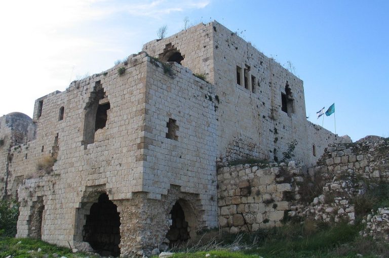
Altar on Mount Ebal: A Disputed Iron Age Ritual Complex
Site at a Glance
- Popularity
- High
- Country
- Israel
- Primary era
- Iron Age
- Eras represented
- Iron Age, Modern
- Civilizations
- Canaanite, Israelite, Ottoman
- Site type
- Religious
- Remains
- Sanctuary
On this page14 sections
History
The Altar on Mount Ebal is an archaeological complex on Mount Ebal near Nablus in the West Bank. It is usually dated to the late 13th century BCE, and its pottery places activity broadly in Iron Age I, an early phase of the Iron Age in the southern Levant. Most scholars consider it a place of ritual activity, but its exact function, builders, and users remain disputed.
Iron Age phases and interpretations
The pottery dates broadly from about 1220 to 1000 BCE. Archaeologists identify two occupation phases separated by a substantial interval. Rafi Greenberg assigned the earlier phase to the 13th and 12th centuries BCE and the later one to the 11th century BCE. He regarded the earlier activity as ordinary domestic occupation and identified the later inhabitants as Canaanites, peoples of the ancient Levant.
Aharon Kempinski and Anson Rainey proposed that the main structure was a watchtower within a village. Kempinski’s interpretation included three stages of settlement, with a destruction before the tower was built. Adam Zertal argued for two phases instead, finding no evidence of destruction or semi-nomadic occupation and no need to interpret the structure as a watchtower. Israel Finkelstein questioned whether a central Israelite ritual site existed so early, while allowing that the complex could have had a cultic purpose. Nadav Na’aman proposed that it might be the ritual site of ancient Shechem.
The proposed link to Joshua
Zertal identified the central structure as the altar built by Joshua in the biblical accounts. That identification is a hypothesis, not an established fact, and scholars also disagree about whether the people who used the complex were Israelites, groups developing into later Israelites, or Canaanites. The Book of Joshua describes an altar on Mount Ebal, but critical biblical scholarship treats that passage as a late composition, written more than 700 years after the event it describes and drawing on Deuteronomy and earlier traditions about setting up stones on the mountain. Those traditions may preserve a memory of ritual activity there during the first half of Iron Age I.
The proposed identification also raises a question about Mount Gerizim, associated in biblical tradition with blessings and curses and sacred to the Samaritan community. Zertal argued that the biblical passages required a sightline between the altar and Gerizim. Because the site cannot be seen from the traditionally identified mountain, he proposed nearby Mount Kabir as the biblical mountain instead. The Samaritan community and other scholars rejected that identification. Ze’ev H. Erlich argued that the biblical text does not require the altar itself to be visible from Gerizim.
Excavation and recent events
A survey team led by archaeologist Adam Zertal discovered the site on 6 April 1980. Zertal directed eight seasons of systematic excavation between 1982 and 1989 as part of the Manasseh Hill Country Survey. The results appeared in a peer-reviewed preliminary report, but no full excavation report followed, limiting scrutiny of the findings.
In 2019, researchers and volunteers washed spoil from the earlier excavations through screens and recovered a small folded lead tablet. The material had been exposed for decades, so the tablet’s archaeological origin is uncertain. After tomographic scans, which examine an object’s interior without opening it, the finders claimed in 2022 that its marks formed an early Hebrew legal text and curse containing an early use of the divine name Yahu. Nearly all archaeologists and inscription specialists who addressed the proposed reading rejected it; most also questioned whether the marks were writing and whether the tablet could be securely linked to the site. A peer-reviewed paper appeared in 2023, but debate over the interpretation continued.
In late 2020 and early 2021, a contractor building a road between Asira ash-Shamaliya and Nablus demolished part of the Iron Age enclosure wall and crushed some of its stones for road gravel. The regional council later filled the breach with local stones to reduce the risk of further damage. Unidentified people damaged part of the central structure in early 2022. A zoning change placed the site in Area B of the West Bank, where Palestinian civil administration and Israeli security control apply under the Oslo-era arrangements.
Remains
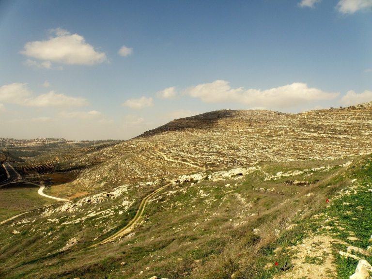
The complex lies on Mount Ebal’s northeastern spur, about 785 metres above sea level; the summit reaches about 940 metres. Its larger enclosure follows a ridge saddle on a northwest-to-southeast axis. Within it, a smaller enclosure occupies the northwest part of the site, while the central stone structure stands in the southern part of that area. The site’s Arabic name is el-Burnat.
Enclosure and central complex
Enclosure
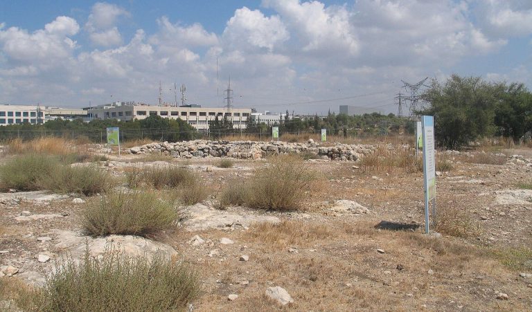
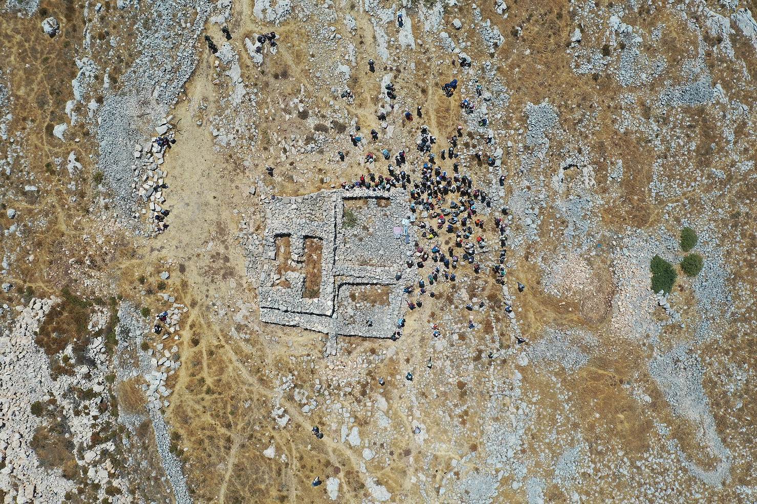
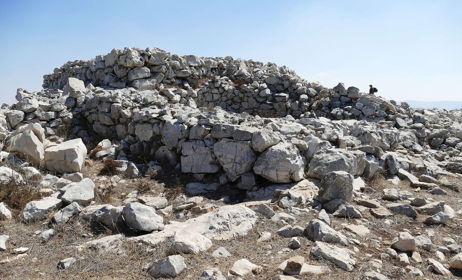
The larger enclosure has an oval surrounding wall and an overall, roughly figure-eight-like plan. It measures approximately 230 metres long and between 25 and 100 metres wide, covering about 14 dunams. Before excavation, the central structure appeared as a mound of stones roughly 30 metres across and 4 metres high. Iron Age I pottery fragments were scattered across the complex and mound.
Central structure and courtyards
The central structure measures about 9 by 7 metres. It was built directly on the ground or bedrock from unworked fieldstones, with walls around 1.4 metres thick, and stands about 4 metres high. Layers of stone and ash fill its interior. A clean ash layer about 1.5 metres thick contains burned bones. Two walls project inward from the outer frame without meeting, and are embedded in the ash-and-stone fill. Medium-sized fieldstones pave the structure’s upper surface.
Paved courtyards adjoin the structure to the north and south. The northern courtyard measures about 5 by 3 metres. Its northern half has large paving stones set about a metre below the outer wall; smaller stones pave the lower southern half. Stone installations held ash, charred bones, or pottery, and three steps beside the north wall provided access. The trapezoidal southern courtyard measures about 7.5 by 6 metres and has a badly damaged southern wall.
Ramps, ledge, and earlier feature
A double, two-level sloping wall separates the courtyards and forms ramps leading toward the central structure. The main ramp is about 7.5 metres long and 1.2 metres wide, reaching the structure’s top; a lower ramp reaches the surrounding ledge. This ledge runs along three sides, about a metre wide and a metre below the main structure, and continues the inner courtyard walls. Zertal called it an altar ledge and compared it with features in later descriptions of Israelite altars. He interpreted the fieldstone construction, ramp, and ledge as consistent with those descriptions. Critics have pointed to differences in the structure’s form and its alignment, with corners oriented toward the cardinal directions.
On the bedrock beneath the main structure is an earlier stone circle about 2 metres across, with ash and bone remains. Later construction disturbed it, making its date difficult to establish; it may have preceded the main structure by about 150 years. Zertal considered it a possible ritual platform, while Greenberg interpreted the earlier phase as a domestic building with an ordinary courtyard. Greenberg’s account of the later phase also includes two large rooms, a fence, and additional buildings and stone installations around the central structure.
Offerings and other finds
Northern offering installations
Excavators found hundreds of offering installations in the northern part of the site, at times layered over one another. Each was a ring of fieldstones about 30 to 40 centimetres across. Zertal interpreted the rings as holders for offerings. Finds from the installations included stone and pottery vessels, scarabs (ancient Egyptian-style beetle-shaped amulets or seals), gold and silver earrings, bronze bracelets, beads, and flint knives. One installation cut into bedrock in the earliest phase contained a scarab bearing the name of Thutmose III.
Pottery and animal remains
Pottery finds include fragments and complete Iron Age I vessels, among them cooking pots and collar-rim jars, vessels with a thickened, collar-like rim. Pieces of plaster were also recovered. Some unusually small vessels have pouring spouts and handles; Zertal suggested that they may have been used for a special offering, such as incense. One example of this vessel type was found elsewhere.
Ritual vessels, including incense vessels, were found alongside thousands of animal bones. Identified remains include cattle, goats, and fallow deer. Fallow deer make up 28 percent of identified bone fragments and 21 percent of bones in the central structure’s fill, compared with 5 percent in other excavation areas. About 4 percent of the bone fragments were burned.
Stone and Egyptian objects
A limestone cube dated to the 12th century BCE may have been used in divination, a ritual means of seeking hidden knowledge or predicting events, although its function is uncertain. A trapezoidal stone seal dated to the end of the Late Bronze Age, the period before Iron Age I, bears lines and dots also found on pottery handles. Zertal interpreted these marks as identifying people or groups making offerings; another interpretation links them to pottery production.
Two Egyptian scarabs were dated by Baruch Brandl to the final quarter of the 13th century BCE, during the reign of Ramesses II. One bears Thutmose III’s name inside a cartouche, an oval frame around a royal name, and Brandl interpreted it as a memorial scarab issued under Ramesses II. The site also yielded two Egyptian-style earrings.
Later features above the structure
A small semicircular stone shelter for shepherds was built on the fieldstone pavement atop the central structure. Beneath the shelter are remains of an Ottoman observation post dating to the First World War.