Acropolis of Kazarma: A Hilltop Fortress in Greece
Site at a Glance
- Popularity
- Very Low
- Country
- Greece
- Primary era
- Classical
- Eras represented
- Classical, Medieval
- Civilizations
- Ancient Greek, Byzantine, Crusader, Principality of Achaea
- Site type
- Military
- Remains
- Fort
On this page9 sections
History
The Acropolis of Kazarma is a hilltop fortress in Greece, probably built by the city of Argos in the fifth or fourth century BC.
Early occupation and Argive fortress
The hill was occupied from about 3200 to 1100 BC, a span that includes the Mycenaean period. Mycenaean culture was a Bronze Age civilization that flourished on mainland Greece, especially in the second millennium BC.
The fortress guarded the road from Nafplio to Epidauros, which ran just south of the hill. It may have been the border fortress of Lessa mentioned by Pausanias, a second-century AD Greek traveler and writer, between Argive territory and Epidauros.
Medieval use and changing names
The fortress was used again during the Middle Byzantine period, the middle phase of the Byzantine Empire, dated here from 650 to 1204. During the Frankish period, when Western European rule was established in parts of Greece after the Crusades, the fortress belonged to Geoffrey I of Villehardouin, Prince of Achaea. He granted Argolis to Otto de la Roche, Duke of Athens.
On 23 April 1358, Robert of Taranto granted Niccolò Acciaiuoli the Castellany of Corinth, a territory organized around a castle and its jurisdiction, as a hereditary barony, a feudal holding passed down within a family. The grant included Xerokastelli and eight other castles. A record from 1377 calls the castle Sorcastelli. It remained with the Acciaiuoli family until Mehmet II’s Ottoman campaign in 1460, when it was destroyed during the conquest of the Peloponnese. Described as ruined in 1467, it was probably not repaired or used again.
The name Kazarma comes from a Slavic word meaning barracks and was originally applied to Agios Ioannis. In the medieval period the castle was called Xerokastelli, a name that local people continued to use into the nineteenth century.
Remains
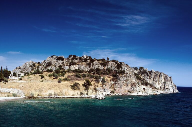
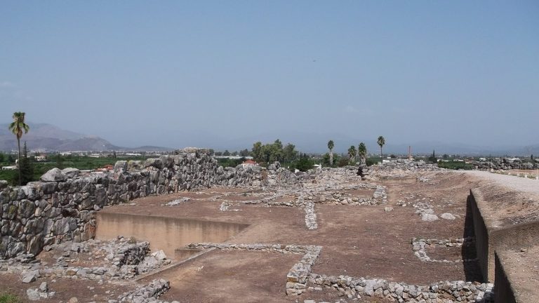
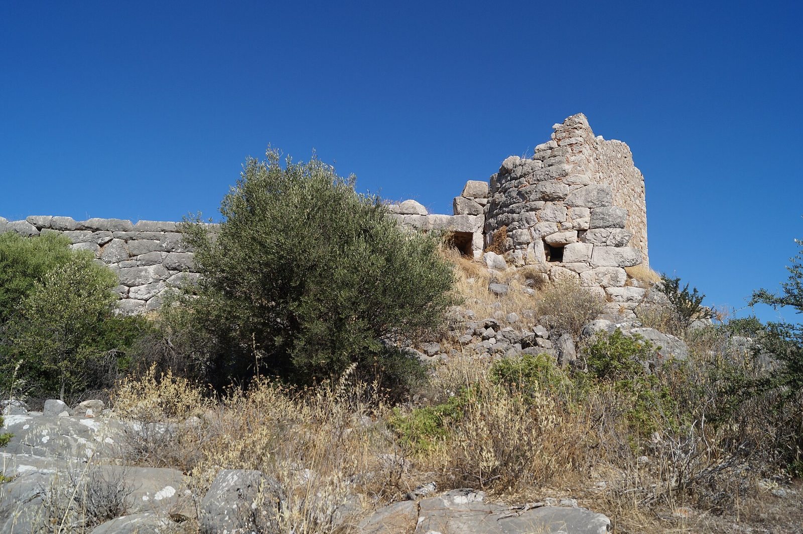
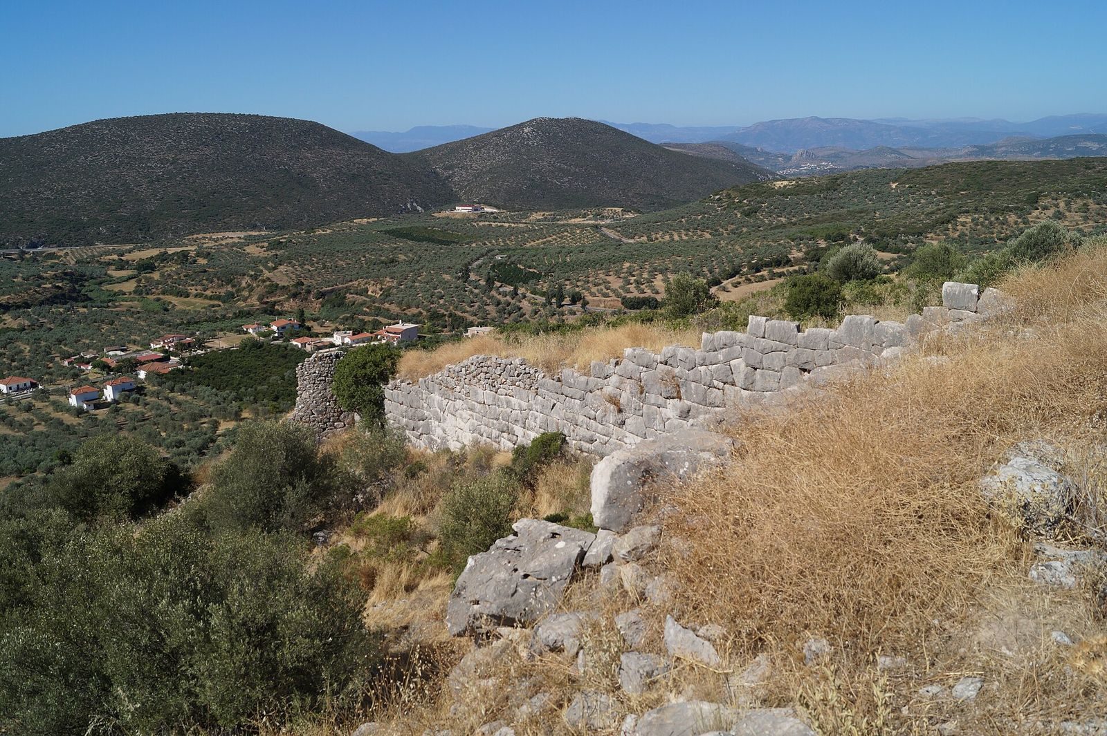
The ruined enclosure occupies a hill about 280 metres high, south of the Arachnaion range and about 400 metres north of Agios Ioannis. It covers approximately 3,500 square metres, measuring about 70 metres north to south and 80 metres east to west. Kastraki fortress is about 2.5 kilometres to the northeast. The ancient walls use blocks with irregular polygon-shaped faces.
Fortifications and entrances
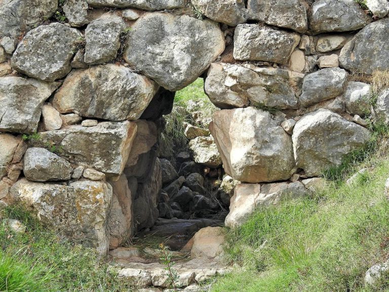
The south and east walls are about 2.5 metres thick and survive to heights of up to 5.2 metres. Four round towers stood at the western and eastern ends and at the two corners. On the northwest side, a thinner wall followed steep ground that was considered difficult to attack. An entrance lay beside each of the two outer towers. The main gate in the southwest was 2.4 metres high and 0.9 metres wide, with a triangular arch. An approach road came from the east along the south wall, then climbed a ramp to the gate forecourt. A smaller entrance beside the eastern tower had a single large stone lintel. In the Middle Byzantine period, two towers were renewed and the walls repaired and raised with small, roughly shaped stones and clay tiles. During Frankish rule, a square tower was built over the remains of the eastern round tower.
Interior structure
A structure inside the fortress is commonly identified as a cistern. Its massive stone blocks support a roof formed by courses that project inward until they meet.
Settlement and nearby remains
Southern slope
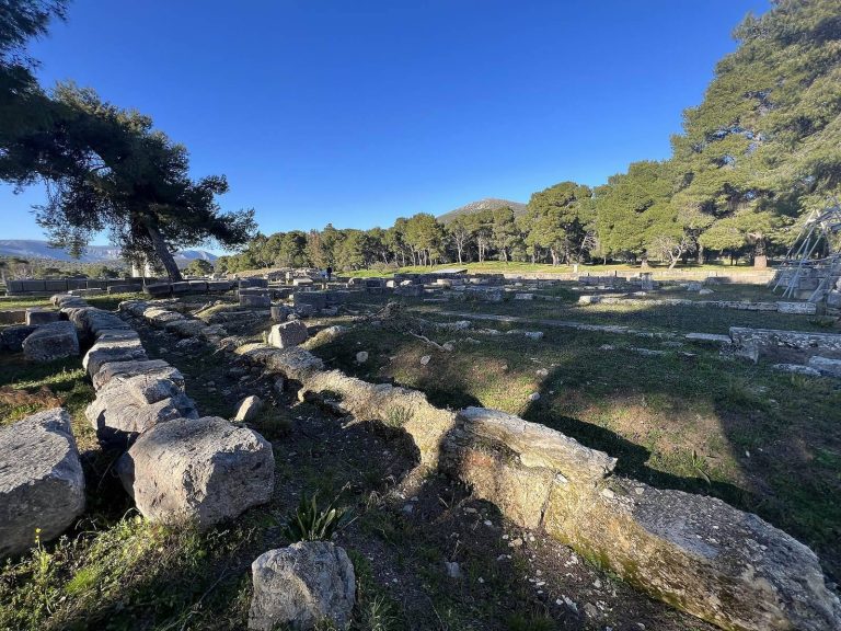
Buildings from a settlement lie on the slope south of the fortress. Around 1850, Ernst Curtius also recognized remains of a temple and a water channel on the slope.
Mycenaean remains
Mycenaean bridges and road remains in the surrounding area, together with the Kazarma tholos tomb, point to a nearby settlement. A tholos is a beehive-shaped burial chamber with a roof formed from inward-projecting stone courses.