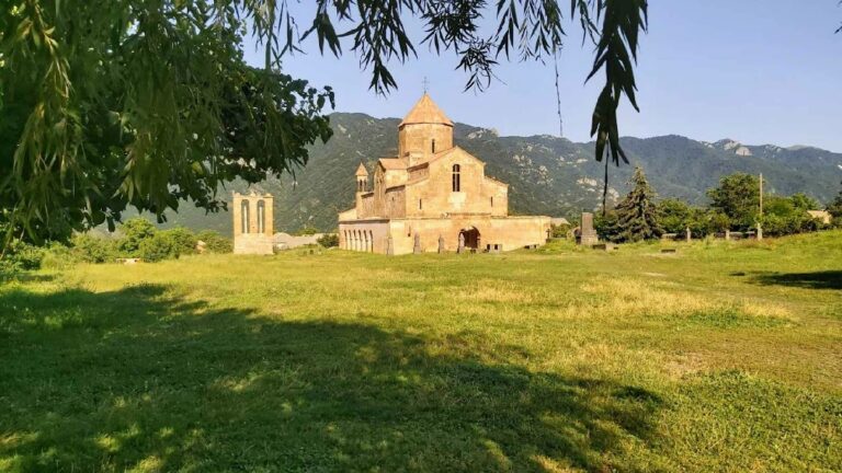
Kayan Berd: Armenian Fortress and Former Monastery


Site at a Glance
- Rating
- 5
- Popularity
- Very Low
- Country
- Armenia
- Primary era
- Medieval
- Eras represented
- Medieval
- Civilizations
- Armenian, Georgian
- Site type
- Military
- Remains
- Castle
On this page6 sections
History
Kayan Berd is a fortress and former monastery of the Armenian Apostolic Church in Armenia, situated in Lori Province in the country’s north. Its exact foundation date is unknown. The fortress may have been built in the tenth century by Ashot II Yerkat, an Armenian king whose epithet means “Iron,” while the thirteenth-century historian Kirakos Gandzaketsi attributed the monastery’s construction to Hovhannes, Archbishop of Haghpat, in 1233.
Foundation and religious identity
Hovhannes was connected to the Zakarid dynasty, a Georgian-Armenian ruling house that governed parts of medieval Armenia under Georgian suzerainty. He was the son of the sister of the Armenian princes Zakare and Ivane Zakarian, and established the monastery on land belonging to Sanahin. The monastery was first known as Surb Nshan, meaning “Holy Sign.” Dsevank, Kayan Berd, and Kayanberd became later names for the site.
Conflict and destruction
During the mid-eleventh century, Haghpat served as Lori’s religious center and competed with the nearby monastery of Sanahin. Because Kayan Berd stood on Sanahin territory, its foundation contributed to tensions between the two monastic institutions.
After the bishop’s death, Tatar forces demolished the monastery walls in 1241. Tatar armies included Turkic and Mongol peoples who held major political and military power across medieval Eurasia. The complex was restored afterward, but troops commanded by Timur, the Central Asian conqueror also known as Tamerlane, destroyed it again toward the end of the fourteenth century. Kayan Berd was not rebuilt after that destruction.
Remains
Kayan Berd occupies the edge of a ridge between two canyons above the Debed River, between Haghpat and Sanahin. The surviving fortress is largely ruined, but its defensive enclosure, church, domestic remains, and water installations still define the site’s physical character.
Fortress enclosure
The defensive wall ring enclosed a triangular area on the ridge. Semicircular defense towers formed part of the fortifications, whose surviving fragments reflect the site’s position as a strategically placed stronghold above the river and surrounding canyons.
Church and associated remains
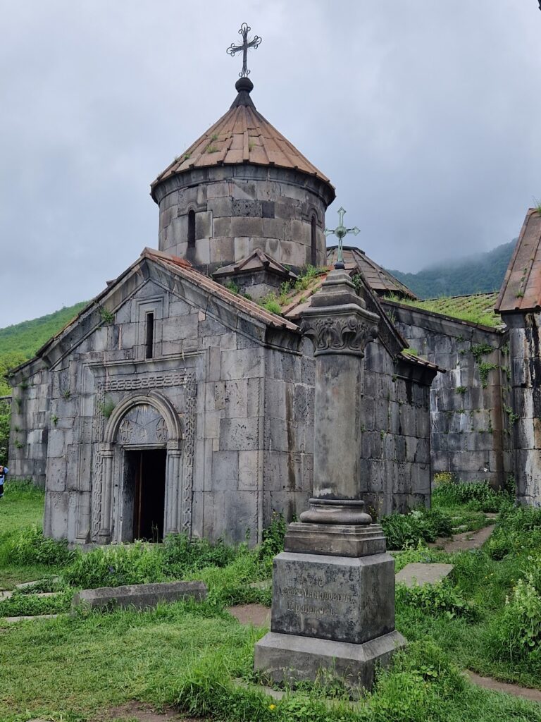
The church of Surb Astvatzatzin, meaning “Holy Mother of God,” stands within the fortified area and belonged to Dsevank. Built from black tuff, a volcanic stone widely used in Armenian architecture, the church had a blue, red, and white dome. The dome stood at the fortress corner and shared one of the exterior walls. An earthquake in 1827 damaged it.
Ruins of houses, cisterns, and clay water pipes survive in and around the fortress area. A burial ground dating to the Early Iron Age, the period when iron tools and weapons became widespread in the ancient Near East, lies in the associated village.
Nearby sites