Chudý hrádek: A Ruined Medieval Castle in Czechia


Site at a Glance
- Rating
- 4.3
- Popularity
- Very Low
- Country
- Czechia
- Primary era
- Medieval
- Eras represented
- Medieval
- Civilizations
- Holy Roman Empire, Kingdom of Bohemia
- Site type
- Military
- Remains
- Castle
On this page7 sections
History
Foundation and Berka Ownership
Chudý hrádek is a ruined castle in Czechia, founded by the Berkas of Dubá in the second half of the fourteenth century as the administrative seat of a local estate. It replaced the older Vřísek Castle in that role. The castle was first recorded in 1391, when it belonged to Henry Berka of Houska.
In 1402, Henry’s son, Henry the Younger of Dubá, known as Vaněk, inherited the castle and made it his residence. He brought his two sons and their tutor, Father Nicholas, from Prague to live there. The castle’s ownership after 1455 is uncertain. Between 1519 and 1522 it was recorded as the property of George Kaplíř Osterský of Sulevice. In 1532, Václav of Vartenberk acquired it and incorporated it into the Nový Zámek estate.
Abandonment and Later Names
Chudý hrádek was probably abandoned around 1560. It still appeared in the inventory of the confiscated possessions of the rebel Jan Jiří of Vartenberk in 1622, although it was probably already uninhabited by then. The ruins later decayed and acquired several names, including Hrádek, Pustý hrádek, Poustka, Wüste Schloss, Paska, and Buska.
An early medieval hillfort has been proposed in the forefield of the castle. The surviving ditch and rampart are more probably later features connected with the castle. The ruined site is protected as a cultural monument. It stands six kilometres northwest of Dubá, above the valley of the Dolský potok between Holany and Dřevčice, in a position suited to its former administrative function.
Remains
Setting and Outer Earthworks
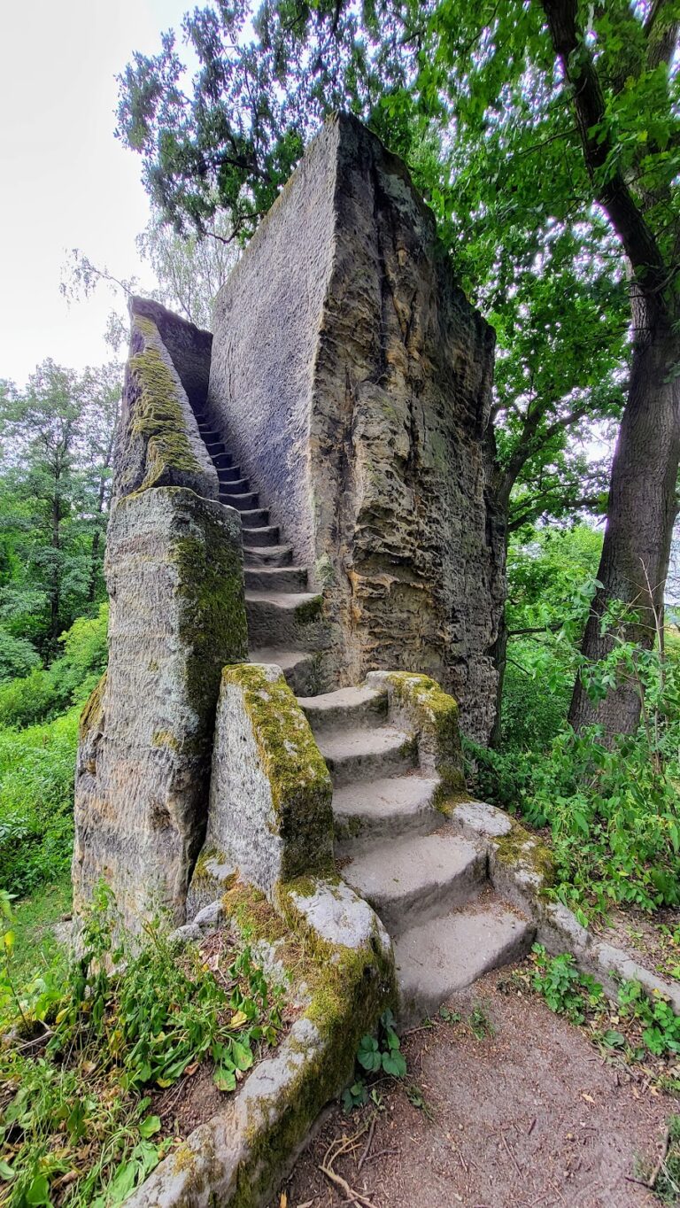
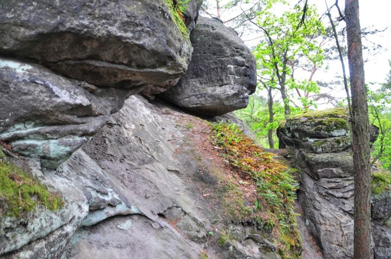
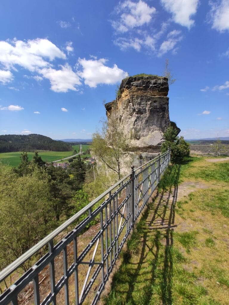
The castle occupies a sandstone formation, or rocky spur, at an elevation of about 312 metres near the confluence of two streams. The castle core is approached from the south and is surrounded by the remains of a ditch. About 150 metres in front of the core are a curved ditch and rampart. The rampart was formerly about 200 metres long, although ploughing destroyed a 50-metre section. In the 1960s, it stood approximately 2.5 metres high and measured about seven metres across.
Castle Core
The dominant surviving feature of the core is the palace ruin on its southern side. Small sections of the perimeter wall remain around the sandstone formation, while the ground outlines of buildings adjoining the wall can be seen on the eastern and southwestern sides. At least part of the eastern building was timber-built, as surviving daub, a clay material applied over timber frameworks, indicates. The terrain also suggests that this building was partly set below ground level.
The complex contains a partly filled well and two separate rock formations that were probably connected by bridges. On the northern side, toward the meadow, two cellars cut into the sandstone survive. In the valley below the castle stood Dolský Mill. A mill was built there in 1709 on the site of an older mill.
Palace
The masonry of the palace preserves evidence of three building phases. The first ended in a fire, while a later phase followed a major fire and may have belonged to a castle type protected by a continuous outer wall, also called a mantle wall. This form of fortification enclosed and defended much of the castle core with one substantial wall rather than relying mainly on separate towers.
The palace was enlarged in a later phase, indicating that the defensive role of the core was reduced in favour of more comfortable residential use. The youngest part lies on the eastern side of the building and is characterized by large windows.