Nammer Lager: A Pre-Roman Iron Age Hillfort in Germany


Site at a Glance
- Rating
- 4.3
- Popularity
- Very Low
- Country
- Germany
- Primary era
- Iron Age
- Eras represented
- Iron Age
- Civilizations
- Celtic
- Site type
- Military
- Remains
- Fort
On this page7 sections
History
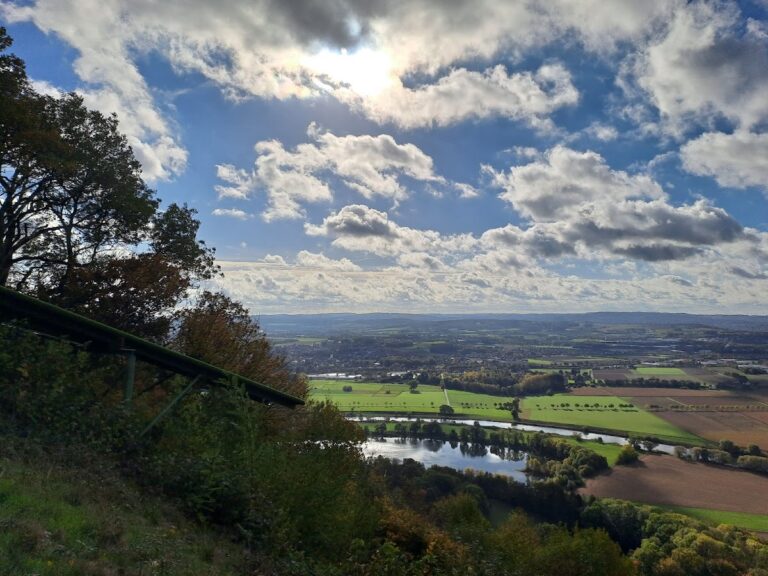
Nammer Lager is a prehistoric hillfort in Germany above Nammen, now part of Porta Westfalica, built and occupied from the third to the first century BC during the pre-Roman Iron Age and the La Tène period. La Tène was a later Iron Age cultural period of central and western Europe, associated with distinctive metalwork, pottery, fortifications, and art. The site stands at the western end of the Wesergebirge and is also known as Nammer Burg.
Neolithic use and Iron Age settlement
Stone tools found on the southern side, in the Nammer Klippen nature reserve, indicate human use of the area from the Neolithic period, beginning in the fourth millennium BC. The hillfort itself belonged to a later phase, with occupation limited to the third through first centuries BC. Its use ended abruptly at the close of this period.
Nammer Lager formed part of a chain of five ring-wall installations extending from the western Wiehengebirge to the Süntel. Comparable hillforts also occur in the Teutoburger Wald, and the sites stand roughly a day’s march apart. The fortifications and pottery contain clear Celtic stylistic elements, although it remains unresolved whether the inhabitants were Celts or a local population that adopted the cultural styles of the period. The Celtic sphere of influence appears to have ended to the north at the Wiehengebirge and Wesergebirge.
Strategic position and regional connections
The settlement occupied a position near Porta Westfalica, where the Weser leaves the uplands and enters the North German Plain. Routes from several directions converged in this area, and Nammer Lager lies less than five kilometres in a straight line from the Westphalian Gate and the Weser fords at Eisbergen, Vlotho, and Minden. Its unusually large area, its restricted La Tène-period use, and its position between two cultural regions have shaped interpretations of the site as a possible link between them.
Nammer Lager has also been interpreted as the fan-shaped focal point of a regional group of “Celtic” hillforts. Routes along the heights may have connected it with hillforts near the edge of the Celtic cultural area, including Christenberg, Dünsberg, and Glauberg in the Lahn Valley and Wetterau. Iron ore and abundant timber were available around Porta Westfalica, particularly in neighboring Kleinenbremen. Iron and related products have been associated with an extensive trading settlement and with an early predecessor of Minden. Exchange extended in several directions, including along the Weser, where products such as salt were traded with emerging Germanic groups.
Abandonment and archaeological research
The abandonment of Nammer Lager has been attributed to the advance of the proto-Germanic Harpstedt–Nienburg cultural group into the Münsterland Basin. This Iron Age archaeological culture was associated with northwestern Germany. Regional hillforts were abandoned during this expansion, and some were razed, in certain cases after destruction by fire.
Eduard Braun, a physician from Hausberge, discovered Nammer Lager in 1897. The local historian Friedrich Langewiesche of Bünde carried out the first research into its ring-wall system in the early twentieth century. Further archaeological investigations took place in 1983.
Remains
Enclosure and defensive works
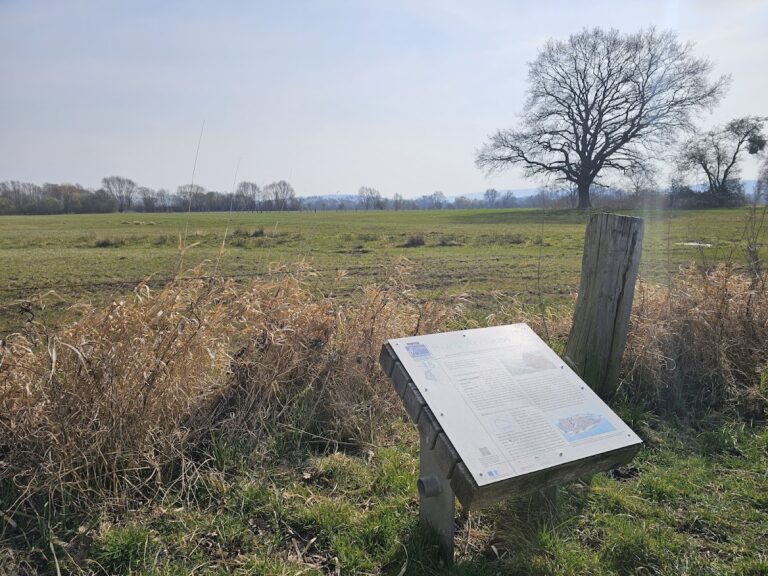
Nammer Lager occupies a hill at approximately 235 metres above sea level, and its enclosure covers about 25 hectares while sloping downward toward the north. A ring-wall hillfort is an elevated settlement or refuge enclosed by banks, ditches, walls, or palisades. At Nammer Lager, the northern and eastern sides are defended by a double rampart and an external ditch. The western side required only one rampart because the ground falls steeply toward the Lehmsiek.
The fortification used wooden posts set into an earthwork, together with a palisade and a forewall. The surviving defensive features consist of ditches, ramparts, and other earthworks. The sole entrance lies at the northwestern corner of the enclosure, where it provided access through the fortified boundary.
Water sources and southern cliffs
Within the enclosure are three spring depressions with enough capacity to hold water. These features formed part of the settlement’s interior resources and remain among the physical elements of the hillfort’s layout.
The southern side is associated with the wooded Nammer Klippen nature reserve, where cliffs and rock faces supplied natural protection. Neolithic stone tools have been found in this area, linking the southern landscape to the earlier use of the hill before the Iron Age settlement was established.