Dückeburg: A Historic Lowland Water Castle and Agricultural Estate in Germany


Site at a Glance
- Rating
- 4.3
- Popularity
- Very Low
- Country
- Germany
- Primary era
- Modern
- Eras represented
- Medieval, Modern
- Civilizations
- Duchy of Berg, Holy Roman Empire
- Site type
- Domestic
- Remains
- Manor House
On this page10 sections
History
Dückeburg is a historic lowland water castle and aristocratic seat in Langenfeld-Reusrath, Germany, first recorded in 1444 under the name Duckenburch. Built in relatively flat terrain with water and surrounding marshland contributing to its defenses, it later became an agricultural estate after a destructive fire and rebuilding in the late eighteenth century.
Early owners and the von Etzbach period
The earliest recorded owners were members of the von Zobbe and von Sieberg families. Johann Pieck von Sieberg reportedly increased part of his wealth through the sale of brick, including shiploads sent to Cologne. In 1466, the von Etzbach family succeeded the first owners and retained Dückeburg for more than two centuries.
The estate was divided among inherited interests during this period. On 26 November 1524, Wilhelm von Etzbach pledged his inherited share of Dückeburg. The von Etzbach family was later followed by the Spies von Büllesheim family.
Religion and local administration
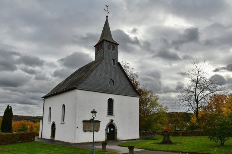
Dückeburg was closely connected with religious affairs in nearby Reusrath. In 1578, the then owners, the von Etzbach family, bore the principal share of the cost of a vicarage at St Barbara’s Church. They supplied a small house, farm, garden, land, and one morgen of meadow, a historical unit of land area whose size varied by region. The whole provision amounted to about four morgen, while local residents also took part in appointing the vicar.
The Reformation, the sixteenth-century movement that divided Western Christianity and produced Lutheran and Reformed, or Calvinist, churches, brought conflict to Reusrath. Johann von Etzbach, a Monheim official who lived at Dückeburg, belonged to the Calvinist minority. Although he promised to appoint a Lutheran preacher, he instead installed Reformed clergy, causing difficulties for the local population.
Dückeburg also formed part of the administrative structure around Monheim. Johann and Bernhard von Etzbach served as two Monheim officials. The relationship worked in both directions, since Monheim itself was administered from Richrath between 15 April 1814 and 30 September 1851.
Hunting territory and changing boundaries
In 1670, the Dückeburg huntsman Hansen of Weyerhof at Hapelrath gave sworn evidence about the boundaries of the estate’s hunting territory. Hapelrath is now an abandoned settlement. The territory reached south to the Wupper and west to the Rhine. Its eastern boundary passed through Rothenberger Hof, Furth, Gladbach, Rupelrath, and Gosse, then followed the route toward Ossenbruch along the Ohligser Straße.
The northern boundary ran through Schwanenmühle and Rietherbach to the jurisdictional boundary before turning back toward Immigrath. From there it continued approximately in a straight line through Ganspohl and Stevenshoven, south of Knipprather Wald, to the Rhine.
The road from Ganspohl south of Stevenshoven and Knipprath toward the Rhine was called the Diebstraß. Cartographer LeCoq still showed the name on a map of 1805. Its origin remains uncertain. It may have been associated with the gallows at Galgendriesch or with Langenfeld’s former subjection to the Monheim jurisdiction. The name later disappeared.
Fire, estate use, and later ownership
French military incursions in 1795 caused Dückeburg to be destroyed by fire. The former castle complex was then rebuilt on its foundations as an agricultural estate. In 1816, it was listed as a former knightly estate with nine inhabitants.
During the nineteenth century, ownership passed to the Counts of Mirbach of Harff and later to their heirs, the Lords of Loudon-Vorst-Gudenau. Rolf Müller dates the Mirbach ownership to 1829. A Prussian law of 1824 classified certain estates as old-landtag-qualified when they paid at least 75 Reichstaler in principal land tax. Reichstaler was a historical German silver currency used for taxation. Among twelve such estates in the Solingen district, Dückeburg ranked last in figures reported in 1932. It nevertheless remained listed as an economically productive farm, unlike the former Langfort knightly estate.
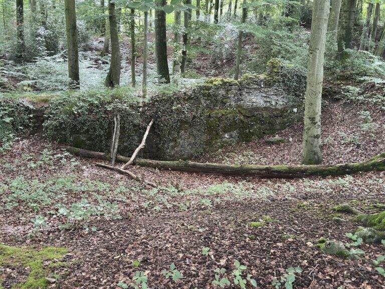
A heritage-conforming renovation took place from 2002 to 2004. The work retained the complex’s mixture of architectural styles from different centuries. Dückeburg remains privately owned, while the former water-filled moats were not reconstructed. Possible hydraulic works connected with the moats, in the forest toward Trompeter Straße, remain potential archaeological monuments awaiting further investigation.
Remains
Dückeburg survives as a lowland water-castle complex built of rubble stone, although much of the present fabric belongs to the agricultural estate rebuilt after the 1795 fire. Its current form is a courtyard farmstead organized around a residential building, adjoining farm structures, and an enclosing wall with a central entrance.
Courtyard farmstead
Residential building
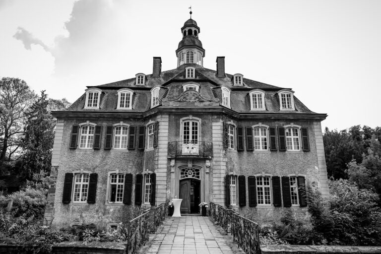
The principal building is a two-storey residence with a half-hipped roof. This roof form has sloping sections at the gable ends that do not extend fully to the eaves. An external staircase dominates the courtyard side of the house, giving the building a strong architectural presence within the surviving farmstead. The residence forms part of the complex’s layered appearance, which preserves styles from several centuries.
Farm buildings and entrance
Farm buildings adjoin the residential building on both sides, creating the courtyard arrangement associated with the rebuilt agricultural estate. A gate set between pillars occupies the centre of the wall enclosing the courtyard. Together, the house, side buildings, wall, and entrance retain the principal structure of the post-fire complex on the foundations of the former castle.
Former moats and landscape setting
Moats once extended around Dückeburg. About a century ago, the moat on the north-west side was described as approximately 55 paces wide, with an embankment about 1.5 metres high and up to 4 metres wide along its edge. The water-filled moats were not recreated during the modern renovation. Possible hydraulic works associated with them survive as archaeological questions in the forest toward Trompeter Straße.
Dückeburg stands on Reusrather Straße, slightly north of its junction with Alte Schulstraße, at the Dückeburg wayside crossroads. The road formerly linked Immigrath and Reusrath and ran parallel to the Mauspfad, a historic regional trade route now followed by Opladener Straße. Fields and meadows surround the complex. Galkhauser Wald lies to the north and east and is crossed by the Galkhauser Bach, while Reusrath lies to the south, Galkhausen to the west, and Immigrath to the north. The Further Moor, including Furth and Hapelrath, lies to the east.