Burg Tautenburg: A Medieval Hilltop Spur Castle in Germany


Site at a Glance
- Rating
- 4.6
- Popularity
- Low
- Country
- Germany
- Primary era
- Medieval
- External website
- Open
- Eras represented
- Medieval
- Civilizations
- Holy Roman Empire
- Site type
- Military
- Remains
- Castle
On this page8 sections
History
Burg Tautenburg is a medieval hilltop spur castle in Germany, built in the Tautenburger Forest approximately 11 kilometres northeast of Jena. Its construction is commonly placed around the middle of the 12th century, when it may have served as the castle of a Reichsministerial family, medieval service nobles who held offices and lands for kings, emperors, princes, or other territorial lords. The foundation date remains uncertain, and a possible connection with the place called Tutenberc in the writings of Arnold of Quedlinburg, a medieval chronicler, is considered unlikely.
The lords of Tautenburg
The castle first appears in written records in 1223, in a charter confirming a religious foundation. The document names the nobleman Tuto of Tautenburg, his son, and their cousins, including another Tuto of Kohren. The foundation was established for the spiritual welfare of their deceased nephews, Tuto and Friedrich. The repeated use of the name Tuto was probably characteristic of the older family and may have given the castle its name, although the precise sequence of generations cannot be established.
Tuto of Tautenburg was mentioned again in connection with a donation in 1227. By then, Burg Tautenburg was held by the lords of Lobdeburg-Saalburg. Shortly before 1232, it passed as a subfief, a fortress or estate granted by a principal feudal holder to a subordinate vassal, to the Schenken of Vargula. Their name came from the court office of cupbearer. After Hartmann of Lobdeburg-Saalburg died, Emperor Frederick II granted the Schenken the castle as a fief in 1243. A branch of the family subsequently adopted Tautenburg as its name, a change first recorded in 1244.
Later lordship and administrative use
The feudal status of the castle changed during the 14th century. In 1343, the Tautenburger family held it from the Counts of Schwarzburg, and in 1345 they held it from the Wettins, a major German ruling dynasty whose Albertine branch controlled the electoral lands associated with Saxony. The younger resident line of the Schenken became extinct in 1640. The Albertine Wettins then reclaimed the lordship as a reverted fief, meaning that it returned to the superior lord after the vassal line died out.
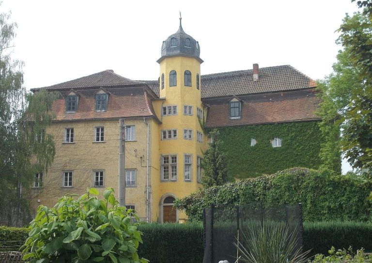
The Wettins used Burg Tautenburg as the seat of the electoral administrative office of Tautenburg until 1776. In 1780 and 1781, most of the castle fabric was dismantled. Its stones were reused in the construction of the palace and the judicial and revenue office at Frauenprießnitz. The surviving ruins therefore represent only part of a complex that had served successive noble and princely authorities.
Remains
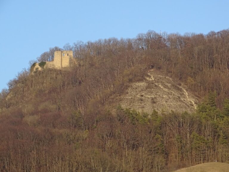
Burg Tautenburg occupies a small mountain spur at approximately 272 metres above sea level within the Tautenburger Forest. The municipality of Tautenburg is arranged in a U-shape around the spur. The castle was divided into western and eastern sections, with the western section forming the older part. Its surviving layout is indicated by ditches and terraces, including two cross ditches that helped separate and defend the complex.
Western section
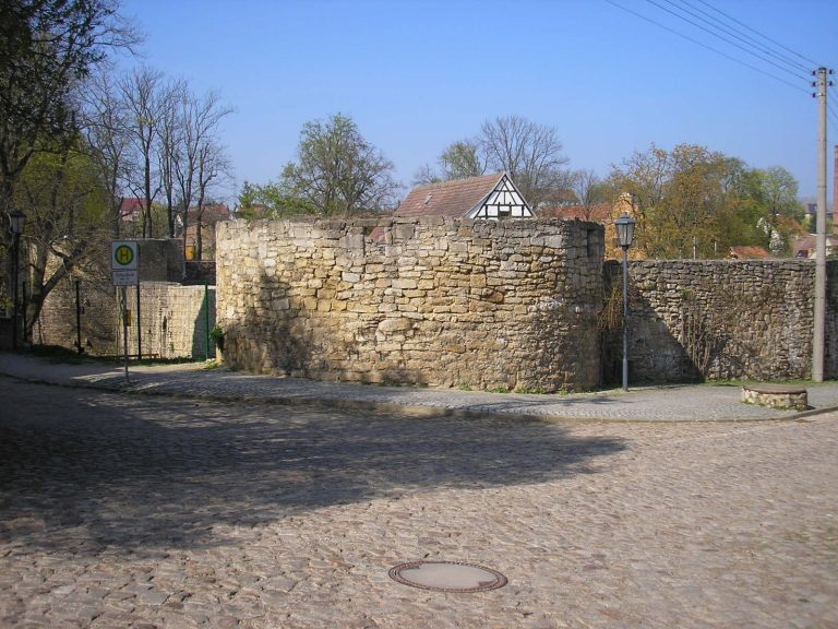
The western section contains the most clearly identifiable defensive features. At its southeast corner stands a pentagonal gate tower with a gate passage and a crenellated parapet. Although it is often called a keep, its function is that of a gate tower. The date is uncertain, though it is commonly assigned to the first half of the 13th century. That dating may be connected with the castle’s first written mention in 1223, while the tower could also belong to new construction, rebuilding, or enlargement carried out by Schenk Rudolf II of Vargula after the family acquired the castle during the 1230s or 1240s.
Gate tower masonry
A section of wall contains opus spicatum, a herringbone arrangement of stones, and was built without lime mortar. This masonry may point to an earlier phase of the complex, although the technique remained possible after 1200 and into the middle of the 13th century. A small quatrefoil window, whose opening has four rounded lobes, provides another chronological indication and is dated approximately to the second third of the 13th century.
Residential building
A three-storey residential building adjoined the gate tower on its western side. Its northern side reportedly had small projecting oriel turrets. Together with the tower, the building formed part of the built core of the western section, while the surrounding terraces and cross ditches defined the defensive setting.
Northeast wing
Strong wall remains survive from the northeast wing. The wing is said to have contained a chapel mentioned in a building inscription dated 1232, although that identification remains qualified. The surviving masonry preserves the outline of a substantial part of the castle’s built complex and complements the tower and residential remains in the western section.