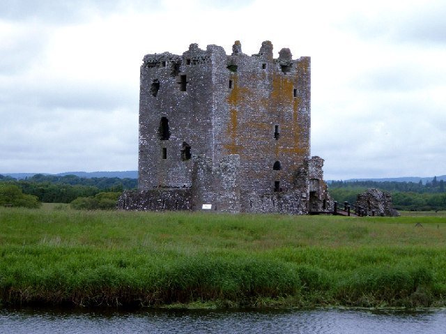
Cruggleton Castle: A Multi-Period Coastal Stronghold in Scotland
Site at a Glance
- Rating
- 4.4
- Popularity
- Very Low
- Country
- United Kingdom
- Primary era
- Medieval
- External website
- Open
- Eras represented
- Iron Age, Medieval
- Civilizations
- Kingdom of Scotland
- Site type
- Military
- Remains
- Castle
On this page9 sections
History
Cruggleton Castle is a multi-period archaeological site in Scotland, United Kingdom, occupying Cruggleton Point on the coast of the Machars. Excavations have revealed activity from the 1st century AD to the 17th century, including Iron Age, early medieval, medieval, and later phases.
Early occupation and the medieval castle
The earliest known settlement included a late Iron Age hut circle. An early medieval timber hall was later built on the site, showing that the rocky outcrop continued to be used before the construction of the castle.
During the 12th or 13th century, the outcrop was raised into a motte, an artificial mound forming the fortified base of a tower. A timber tower was built on the mound. Cruggleton may have served as a seat of the Lords of Galloway, the principal medieval lords of the region, before the property passed to the Earls of Buchan, a Scottish comital lineage associated with north-east Scotland.
The first stone tower was built in the late 13th century. In the 1290s, John Comyn, 7th Earl of Buchan, received permission from Edward I of England to mine lead on the Calf of Man, a small island south of the Isle of Man, to provide roofing for eight towers at the castle.
War and royal grants
Cruggleton is also known as “The Black Rock of Cree.” It has been associated with the stronghold on the Water of Cree that Blind Harry, a late medieval Scottish poet traditionally linked with a verse life of William Wallace, said Wallace captured with Stephen of Ireland and Kerlé. During the Wars of Scottish Independence, the conflict between Scottish resistance forces and English rule, Scottish forces captured Cruggleton again in 1307. The castle was demolished after that capture.
Later in the 14th century, King David II granted Cruggleton Castle to Gilbert Kennedy. In 1424, David granted it to the prior and canons of Whithorn, the religious community responsible for the priory there.
Sixteenth- and seventeenth-century ownership
In 1563, Elizabeth I’s spies examined the defences of Cruggleton and several other castles in south-west Scotland. They found Cruggleton held by only two men. Their coloured drawing shows the castle as a high tower enclosed by a defensive wall. After the Scottish Reformation, when church lands were redistributed among Scottish nobles, ownership became the subject of a dispute between Lord Robert Stewart, commendator of Whithorn Priory, and John Fleming, 5th Lord Fleming. A commendator was a lay administrator who held the revenues and administrative responsibilities of a religious house.
In 1569, Lord Fleming besieged Stewart in the castle. James Stewart, Earl of Moray, another illegitimate son of James V and later regent of Scotland, attempted to help Stewart by writing to Sir Patrick Vaus of Barnbarroch. The dispute was resolved in favour of Margaret Stewart, Mistress of Ochiltree, during the 1580s.
Sir Patrick Vaus held Cruggleton until his death in 1598. His son, Sir John Vaus, then transferred the property to Peter McDowall of Machermore, who sold it to James Kennedy in 1606. After several further changes of ownership, the castle was described in 1684 as “wholly demolished and ruinous.” Its remains have been protected as a scheduled monument, a nationally protected archaeological or historic site, under designation SM3811 since 1976.
Remains
Castle earthworks and surviving masonry
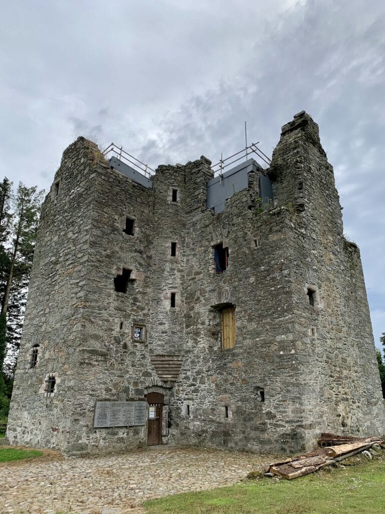
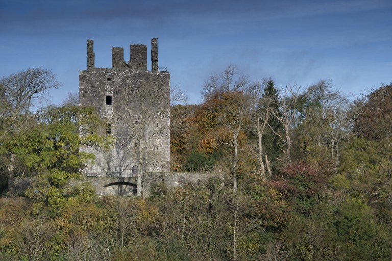
Cruggleton Castle stands on a high shale outcrop forming a promontory at the edge of an east-facing cliff, approximately 40 metres above sea level. The site’s name is thought to refer to the rocky character of the location. A broad ditch crosses the promontory about 50 metres west of the ruins, while the motte remains clearly distinguishable and measures approximately 31 by 29 metres.
The Arch
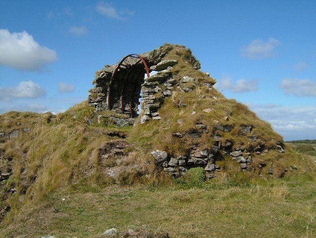
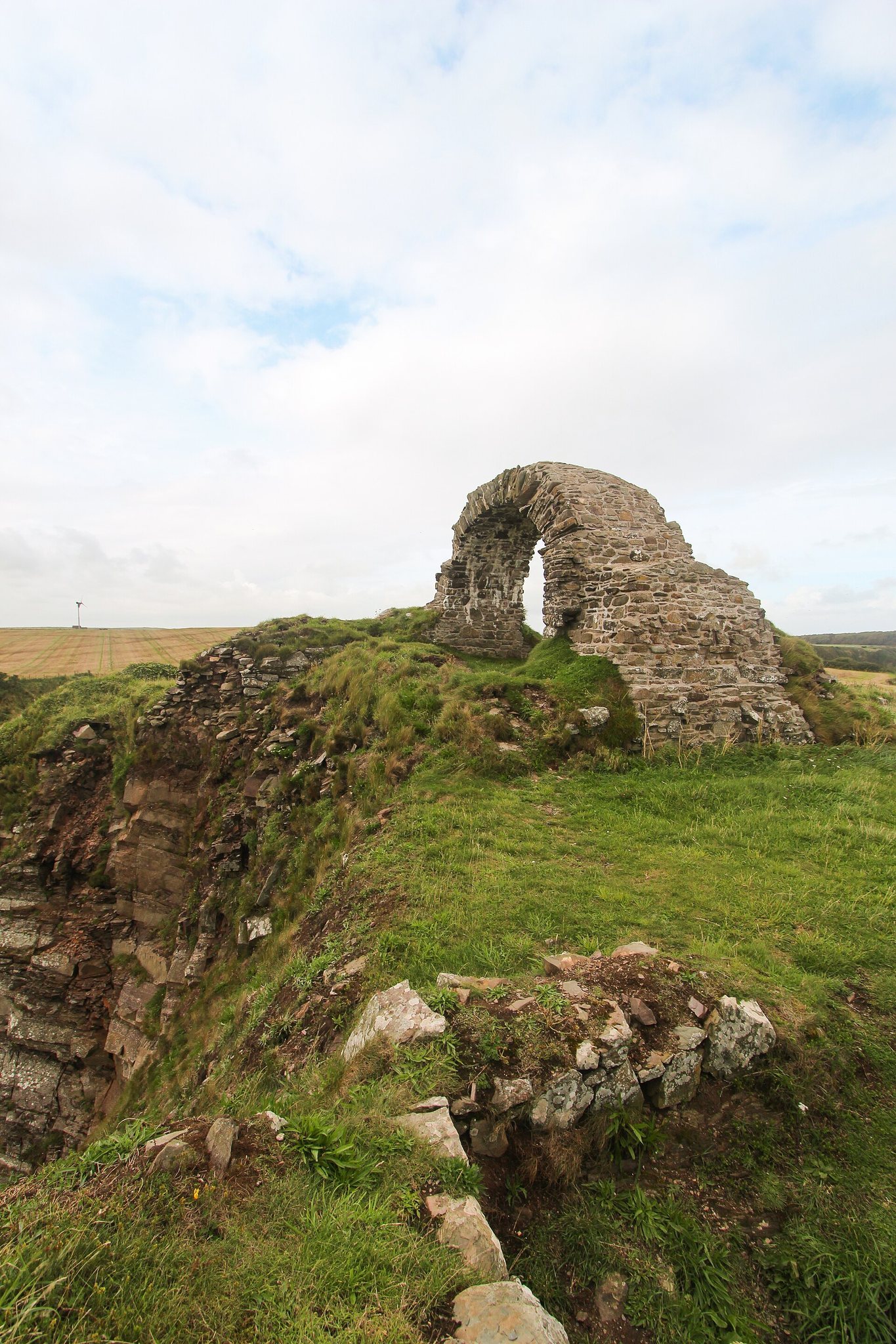
The most prominent surviving masonry is a narrow section of barrel vaulting from the former stone tower, locally known as “The Arch.” Once supported by metal bands, the stonework was rebuilt or repaired during a recent conservation intervention and now stands approximately 3 metres high.
Foundations and defensive features
Foundations belonging to several other buildings remain visible across the castle site. The 1563 coloured drawing depicts the high tower within a curtain wall, an enclosing defensive wall, with sloped merlons, a drawbridge, and a portcullis, a gate that lowered vertically. These features provide a picture of the castle’s defensive arrangement alongside the surviving motte, ditch, tower masonry, and building foundations.
Cruggleton Church
Cruggleton Church lies about 750 metres west of the castle and may mark the approximate location of the village of Cruggleton. Fergus, Lord of Galloway, established the church in the early 12th century. It is the most complete Romanesque church in the surrounding area, using the medieval style associated with substantial masonry, rounded arches, and simple geometric forms. The church was restored from a ruined condition in the 1890s for the 3rd Marquess of Bute. The surviving site includes the church and a walled burial ground.