Tetín Hillfort: A Prehistoric and Early Medieval Fortified Settlement in Czechia
Site at a Glance
- Popularity
- Medium
- Country
- Czechia
- Primary era
- Medieval
- Eras represented
- Bronze Age, Medieval
- Civilizations
- Duchy of Bohemia, Holy Roman Empire, Kingdom of Bohemia
- Site type
- Military
- Remains
- Fort
On this page14 sections
History
Tetín Hillfort is a multi-period fortified settlement in Czechia, whose earliest recorded defenses date to the late ninth or early tenth century. The site was occupied much earlier, and in the early Middle Ages it formed part of the network protecting the emerging Přemyslid state, the realm of Bohemia’s ruling dynasty.
Prehistoric occupation
People first settled the site in the Neolithic, when it was unfortified. Defenses were added during the Late Bronze Age, followed by another unfortified settlement in the La Tène period, an Iron Age era associated with Celtic Europe.
Early medieval strongpoint
Tetín became one of the strongpoints surrounding the early Přemyslid state in central Bohemia. It may have taken over some of the role of a declining hillfort at Hostim, across the Berounka River. Both sites were linked to a river crossing made easier by two islands until 1907–1909.
The hillfort’s importance probably began to wane from the mid-tenth century. In later centuries it no longer belonged to the castle administrative system, which organized territory around fortified centers.
Ludmila and medieval churches
Ludmila, a Bohemian Christian noblewoman and the widow of Duke Bořivoj, was murdered at Tetín in 921. Legends describe her living in an enclosed compound there. In one account, an attacker forced the gate and then entered her house. References to priests and the celebration of Masses point indirectly to a church at the site. Tradition says that the duchess Drahomíra had a church dedicated to Saint Michael, the archangel in Christian tradition, built over Ludmila’s grave.
A church dedicated to Saint Ludmila was built on the acropolis in the twelfth century. Tetín also featured in legends about Wenceslas, a Bohemian ruler later venerated as a saint.
Tetín Castle and later investigations
Part of the hillfort area was used for a royal castle in the mid-thirteenth century. Written references to Tetín Castle date from that century, although the place was already known through its religious legends.
The first architectural and historical survey of the hillfort was made in the nineteenth century by Bernhard Grueber, an architect and architectural historian; Jan Erazim Vocel later described the site using Grueber’s work. Archaeological investigations followed, including work by Jan Axamit, Břetislav Jelínek and V. Landa. In 1950 Jaroslav Kudrnáč examined the acropolis defenses and the cemetery beside Saint Catherine’s church. Naďa Profantová dug a trial trench across the outer defenses in 1991, and Michal Lutovský carried out rescue excavations in 1999 and 2000. The hillfort and Tetín Castle remains are protected as a Czech cultural monument.
Remains
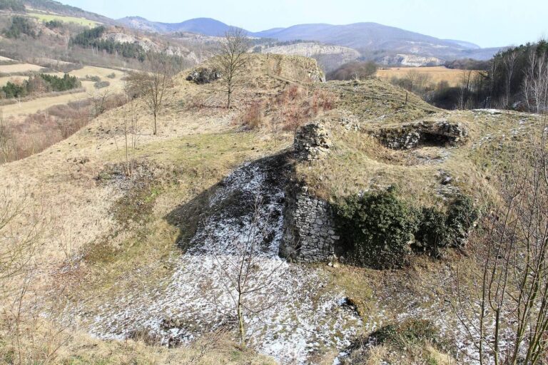
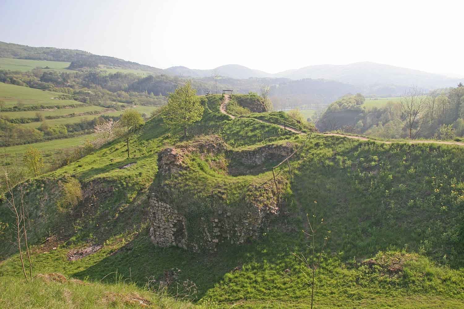
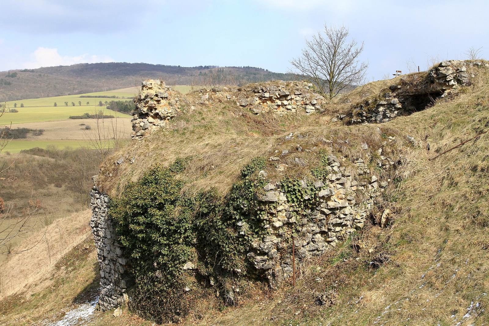
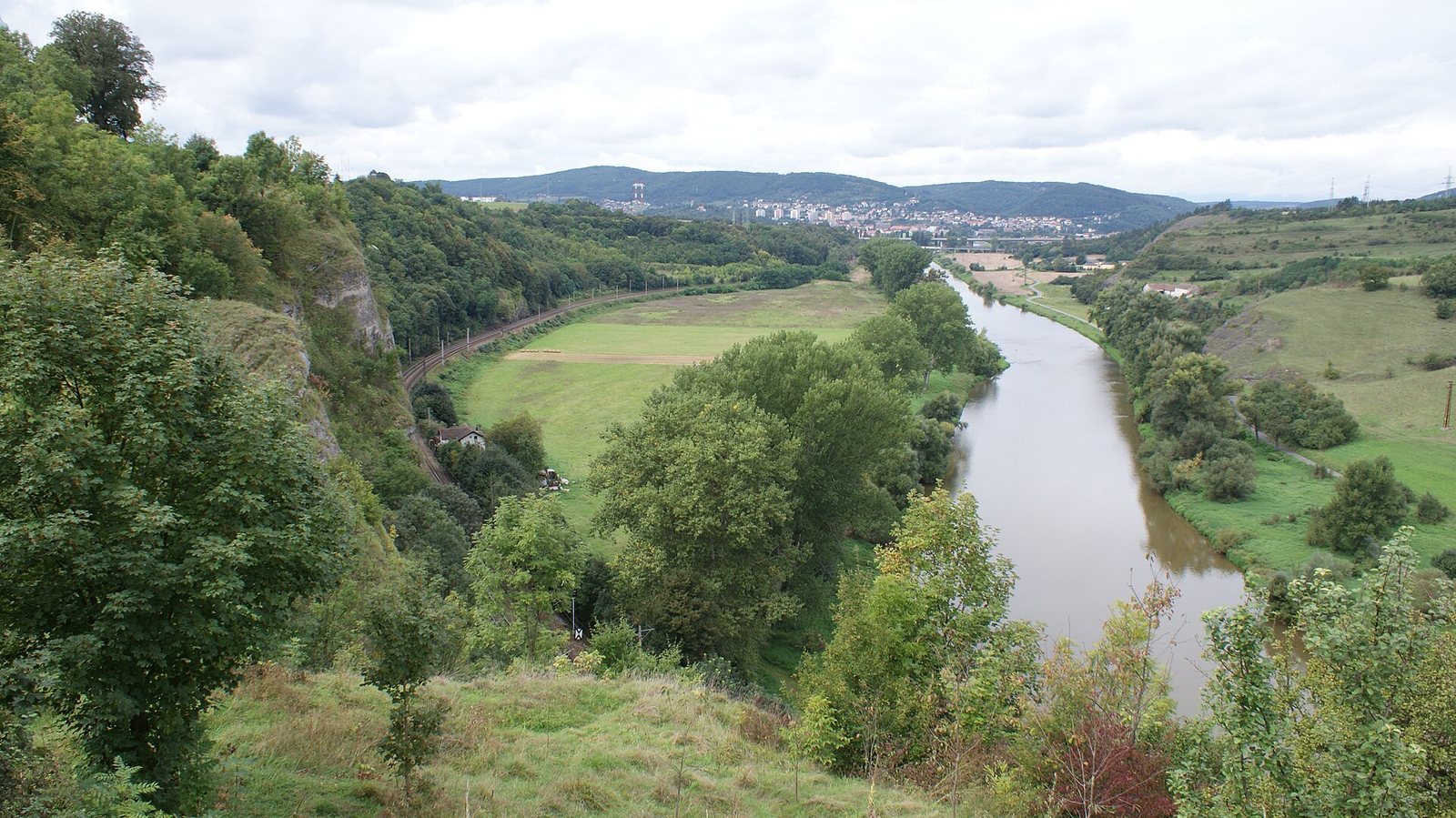
The three-part hillfort covered 9.9 hectares on a projecting ridge bordered by the right bank of the Berounka River and Tetín Gorge. The ground rises as much as 60 metres above the river. Its defenses combined ditches with earthen banks, stonework and timber construction. The acropolis, the settlement’s principal fortified area, occupied the eastern section and covered about 2.3 hectares. Ruins of Tetín Castle occupy part of the former hillfort area.
Defenses and enclosures
Acropolis
The acropolis defenses were dismantled in the nineteenth century. Investigations revealed a ditch and a defensive bank about 7.5 metres wide. Its front was made of stones laid without mortar. Behind this face, earth fill was strengthened with a wooden framework of unknown design, while the inner face was timber.
Inner enclosure
The inner enclosure adjoined the acropolis on its western side. Its defensive line can be followed by its described course and by a distinct rise in the ground to the south and southwest.
Outer enclosure
The outer enclosure retains the clearest line of defenses, a bank about 400 metres long with a ditch along its outer side. The bank curves around the northern and southern sides and is gradually covered by modern buildings. On the southern side, a level strip of ground, or berm, lay between the ditch and the original bank. The front was built of limestone without mortar; the inner face probably had a similar stone covering. Sandy earth filled the interior, where a timber framework is considered likely.
Church sites and cemeteries
Church attributed to Saint Michael
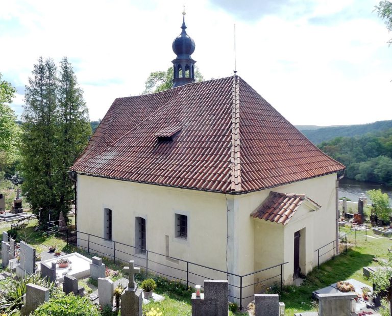
The church associated with Saint Michael may have stood on the site now occupied by the Church of Saint John of Nepomuk, named for a Bohemian priest and martyr. Its earliest form may have been a wooden funerary chapel, later rebuilt as a church.
Church of Saint Ludmila
The church later adapted as Saint Catherine’s stood on the acropolis. A burial ground lay beside it, as another did beside the church attributed to Saint Michael.
Burials and finds
A 2006 excavation uncovered about thirty graves. Jewelry, including a bell-shaped earring with a row of loops, places the burial ground in the latter half of the ninth century; the youngest graves date to the first half of the tenth. The finds also prompted the suggestion that the hillfort began roughly 30 to 40 years earlier than previously estimated. Most graves held no objects or only modest offerings. A girl’s grave contained bronze earrings and buttons, a gilded drum-shaped earring, a necklace of glass beads and a knife. Other women’s graves held bronze or silver earrings, bead necklaces, and items including knives and a bucket. A young man’s skeleton, dated to 870–950, shows evidence of ritual trepanation, the creation of an opening in the skull. DNA analysis identified the Y-chromosome haplogroup G2-M201, a paternal genetic lineage.