Kothaligad: A Hill Fort in Maharashtra
Site at a Glance
- Popularity
- High
- Country
- India
- Primary era
- Medieval
- Eras represented
- Medieval
- Civilizations
- Unclassified
- Site type
- Military
- Remains
- Fort
On this page7 sections
History
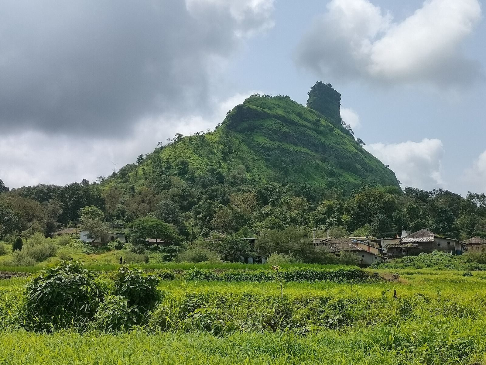
Kothaligad is a hill fort near Peth village in Maharashtra’s Raigad district, India, east of Karjat.
Early control and Mughal capture
From 1521 to 1594, the fort was under the Ahmadnagar Sultanate, one of the Deccan sultanates. Portugal held it in 1594. In 1684, Aurangzeb, emperor of the Mughal Empire, a major South Asian empire, sent Abdul Kadir and Alai Biradkar to capture it. Following a brief skirmish, Abdul Kadir took the fort. Aurangzeb honoured him and renamed the site Miftah-ul-Fateh, meaning “Key to Success.” Later Maratha attempts to seize it failed.
Maratha and British control
British forces captured the cave in 1716. The fort’s later political sequence places it under the Maratha Empire, a major South Asian power, from 1739 to 1818, followed by the East India Company from 1818 to 1857 and the British Raj, direct British rule in India, from 1857 to 1947. The East India Company was a British trading company that also exercised territorial rule.
On 2 November 1817, Maratha forces recaptured the fort under Bapurao, a general of Bajirao Peshwa. The Peshwa was the chief minister of the Maratha state, and its holder became the leading political authority. Captain Brooks led British forces in taking the fort back on 30 December that year. The British held it until 1862, using it as an outpost to observe the surrounding valley and hills.
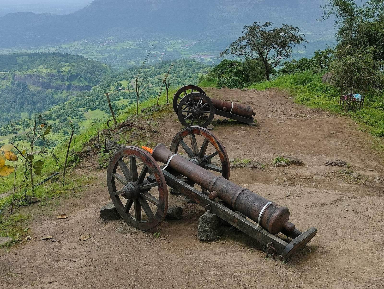
Local tradition describes the site as serving less as a fort than as a watchtower or lighthouse. Watchers observed approaching enemies and gave directions across Mawal, the historical name for part of western Maharashtra.
Remains
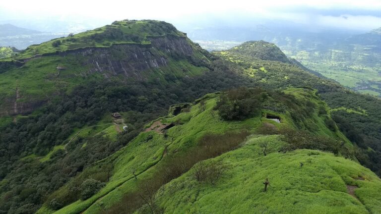
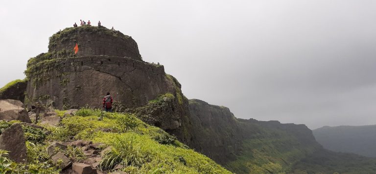
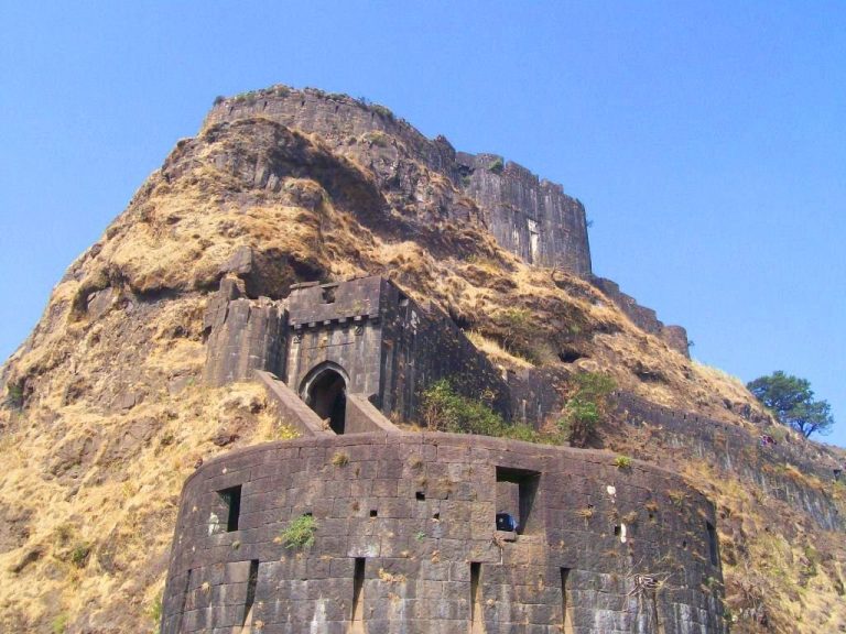
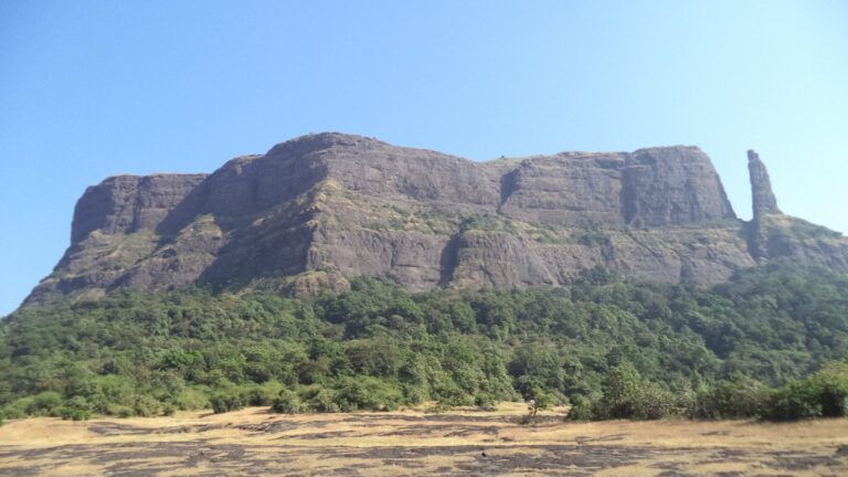
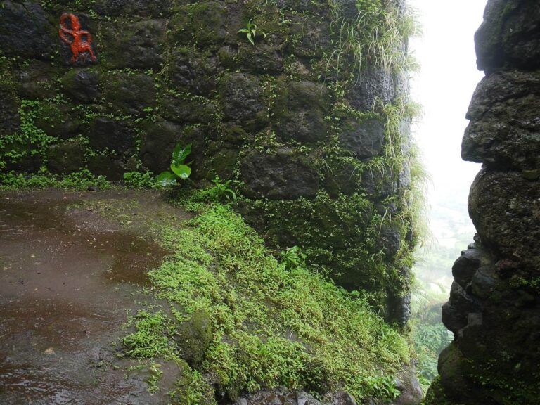
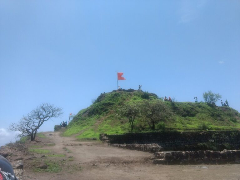
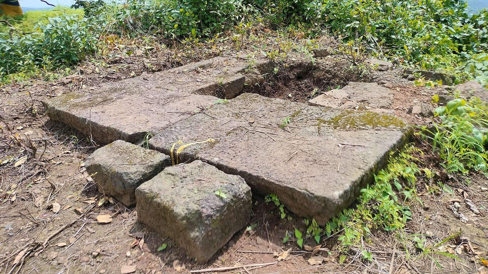
The ruined stone fort stands at about 3,100 feet in the Sahyadri range. Peth village lies at its base, and a broad, black stone outcrop extends toward it. The village occupies fertile ground with abundant water and resources for farming.
Fort structures
Pinnacle passage
The fort’s pinnacle is carved internally into a chimney-like passage containing stairs to the top.
Cave, temple, and cisterns
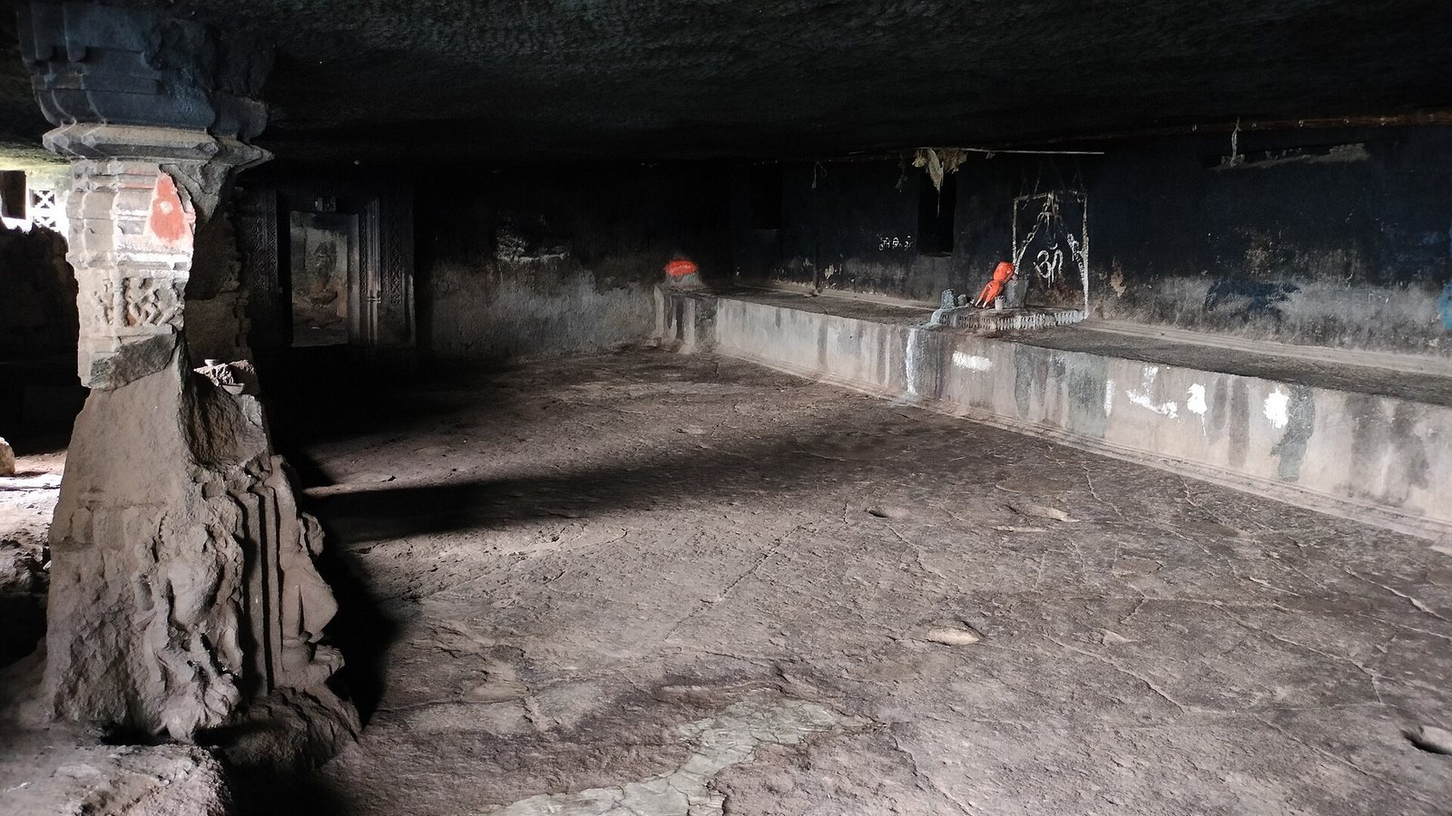
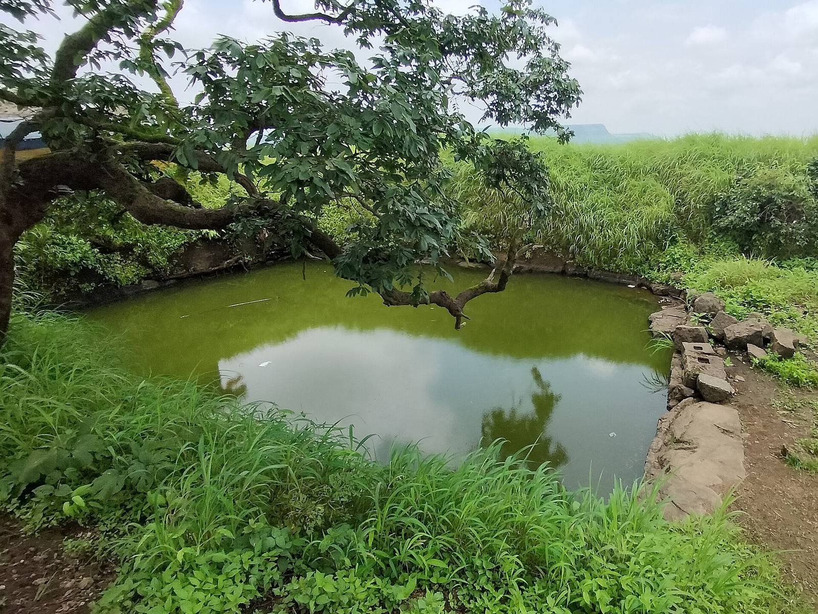
A large cave and a small temple stand at the base of the fort. Carvings associated with both date to the 13th century. A rock-cut water cistern lies some distance from the cave, and another cistern is located at the fort’s summit.