Stare Bielsko Gord: A Medieval Fortified Settlement in Poland
Site at a Glance
- Popularity
- Medium
- Country
- Poland
- Primary era
- Medieval
- Eras represented
- Medieval, Early Modern
- Civilizations
- Holy Roman Empire, Kingdom of Bohemia
- Site type
- Settlement
On this page9 sections
History
Stare Bielsko Gord is a fortified settlement in the Stare Bielsko district of Bielsko-Biała, Poland, used from the late 12th to the late 14th century. It predates the medieval German-law colonization that led to the founding of Stare Bielsko village and Bielsko town around the turn of the 13th and 14th centuries. The gord remained in use alongside both communities for about its final century. German-law colonization refers to organizing settlements under legal frameworks derived from German law, rather than necessarily describing the settlers’ origins.
Settlement and abandonment
The settlement’s purpose is uncertain. One interpretation sees it as a fortified production settlement near the Kraków–Moravia trade route. Another proposes that it served as a refuge for local people during periods of unrest, while only a small group of ironworking craftsmen lived there permanently. A fire at the end of the 14th century is associated with the settlement’s end; excavations revealed numerous traces of burning.
Farm and Swedish tradition
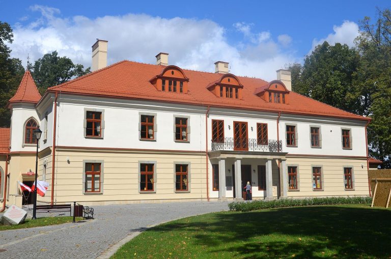
The Lower Manor Farm of Stare Bielsko was established in the 16th century, with buildings in the gord’s southwestern area. Their construction leveled part of the ramparts and permanently changed the site’s layout. Local tradition holds that Swedish troops camped at the gord during the Swedish invasion of Cieszyn Silesia in 1645–1646, when Bielsko was occupied and plundered. Nineteenth-century maps label the area the Swedish Earthwork, and the street along its northern edge is called Swedish Rampart.
Parish use and archaeological investigations
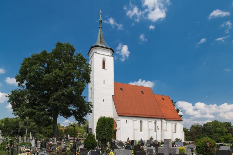
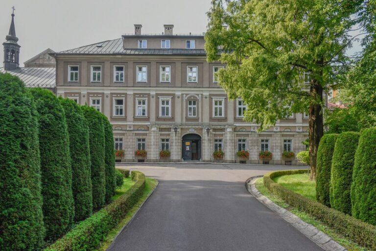
In 1815, the municipality bought the farm buildings and transferred them to a newly established Evangelical parish, a Protestant congregation. The parish adapted the buildings for its use, including as a parsonage, and built a church nearby. The first professional archaeological investigation took place in 1938 under Jan Bartys of the Silesian Museum in Katowice. Jerzy Szydłowski led further work in 1961; Małgorzata Płazak directed eight seasons between 1973 and 1979 and in 1981. In 1995, Jacek Pierzak investigated the moat and fortifications.
Remains
Setting and enclosure
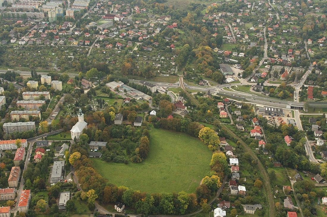
The site lies at an elevation of 340 to 350 m on a gently north-sloping hillside toward the Starobielski Stream valley, about 1.6 km northwest of Bielsko-Biała’s Market Square. The terrain offers no natural defensive advantage. The roughly circular enclosure measures about 205 m north to south and 215 m east to west, covering approximately 3.2 hectares. Two concentric ramparts enclose a moat. The southern ramparts have been leveled and the moat filled, leaving an outline like a circle with a quarter cut away. The inner rampart is best preserved on the east, with fragmentary sections to the southeast and west. The best-preserved part of the moat is about 15 m wide at its upper edge.
Production features
Pits associated with production and other economic activities, as well as remains of bloomery furnaces, were found within the enclosure. These furnaces reduced iron ore to a spongy mass without melting it. The evidence points to ironworking, probably using low-grade bog iron ore, which forms in wet ground and occurs in the surrounding area.
Structures and other features
Remains of five structures, sometimes called huts, have been interpreted as dwellings. Their unusual construction has also led to the view that they served economic purposes instead. Excavations uncovered two wells and fragments of stone paving that may have belonged to a road.
Woodland and present layout
Mature oak-hornbeam woodland covers the outer and inner ramparts. The site’s largest sycamore maple has a trunk diameter of 85 cm at breast height and is described as monumental in size. A large pedunculate oak entwined with ivy stands near the church. The Evangelical parish occupies part of the site, while the remainder is an undeveloped grassy area.