Kleiner Feldberg Fort: A Roman Frontier Fort in Germany
Site at a Glance
- Popularity
- Medium
- Country
- Germany
- Primary era
- Classical
- Eras represented
- Classical
- Civilizations
- Roman
- Site type
- Military
- Remains
- Fort
On this page17 sections
History
The Kleiner Feldberg Fort, also known as the Feldberg Fort, was a Roman military post on the north slope of the Kleiner Feldberg in the Taunus of Germany. Built around AD 150, it served the Upper Germanic Limes, the Roman frontier system in the region. The fort was occupied from shortly after its construction until about AD 260.
Frontier service
The garrison, about 160 men including mounted troops, belonged to the Exploratio Halicanensium, meaning the reconnaissance unit of Halicanum. The unit was probably recruited at Halicanum, now Szerdahely in Hungary. Its duties included protecting the Feldberg Pass near Roten Kreuz, an old route across the Taunus.
The fort stood away from the pass because its position had to meet the garrison’s water needs. A trade road following the Limes from northeast to southwest crossed the fort, allowing the soldiers to monitor traffic as well as guard the pass. The post ceased operating amid the mid-third-century political and economic crisis, which involved pressures within and beyond the empire and accompanied the collapse of the Limes.
Civilian settlement
A civilian settlement associated with the fort housed soldiers’ families and Romanized local people. Farming was poorly suited to the area’s climate and soils, so residents probably depended chiefly on trade and services for the garrison, alongside livestock raising, hunting, and logging.
Rediscovery and conservation
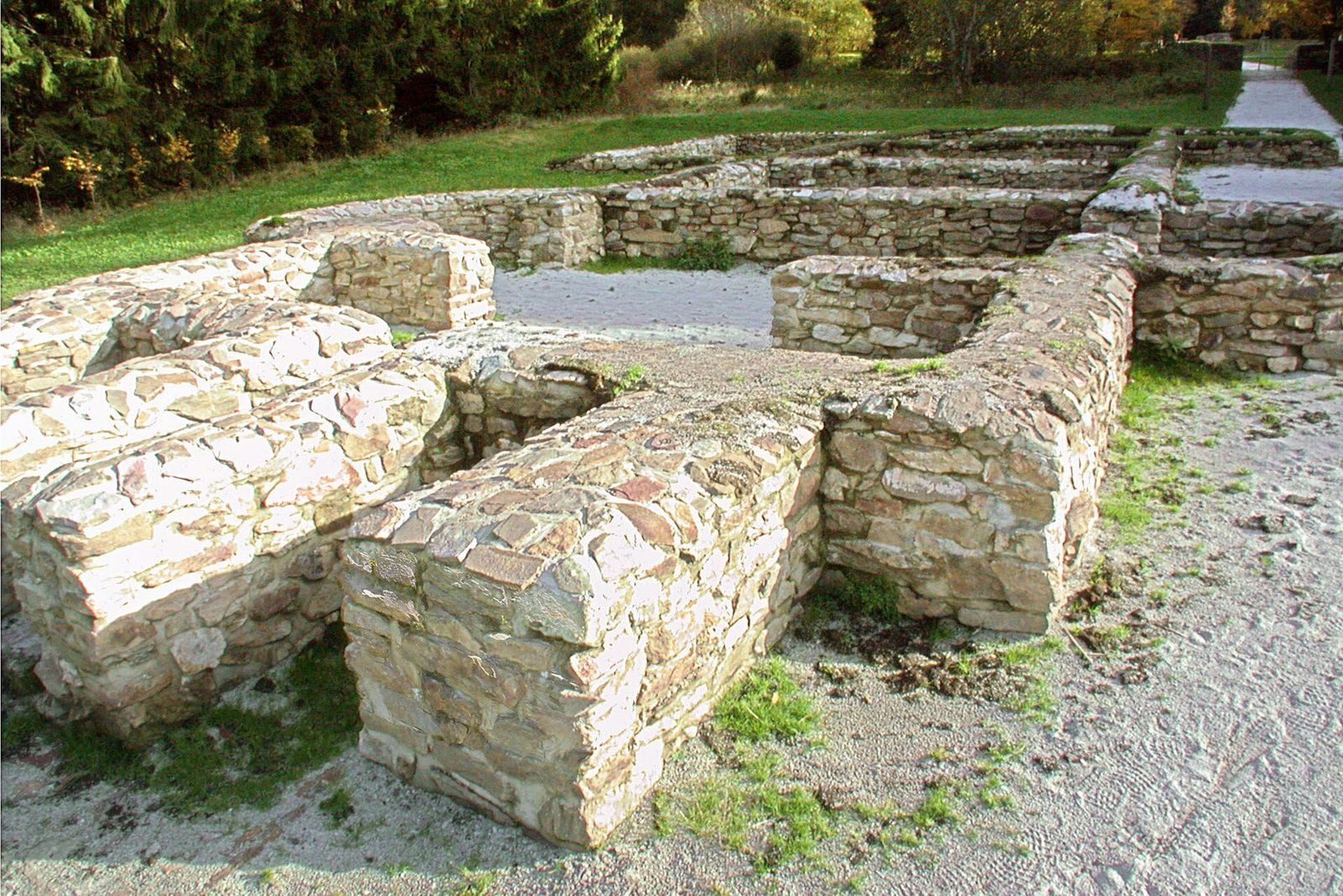
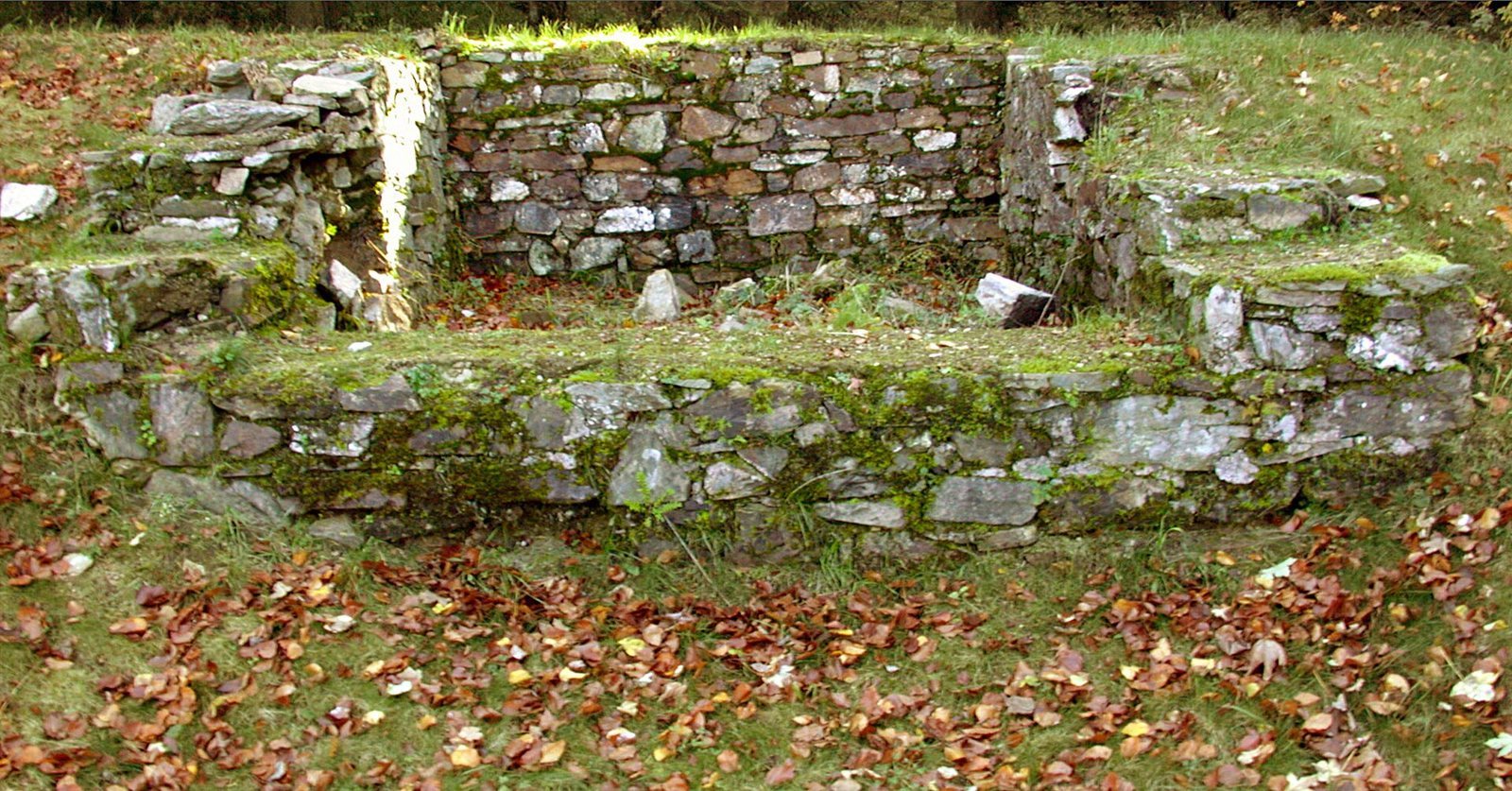
The ruins of the military bath were locally called the Heathen Church before their Roman origin was recognized, by the late eighteenth century at the latest. Excavations began shortly after the mid-nineteenth century. Systematic work followed from 1892, first under the Imperial Limes Commission and later by the Saalburg Museum. A comprehensive restoration in 2004–2005 included the bath’s foundations. Since 2005, the fort and adjoining frontier installations have belonged to the UNESCO World Heritage listing of the Upper Germanic-Raetian Limes; the fort is also protected as an archaeological monument under Hessian law.
Remains
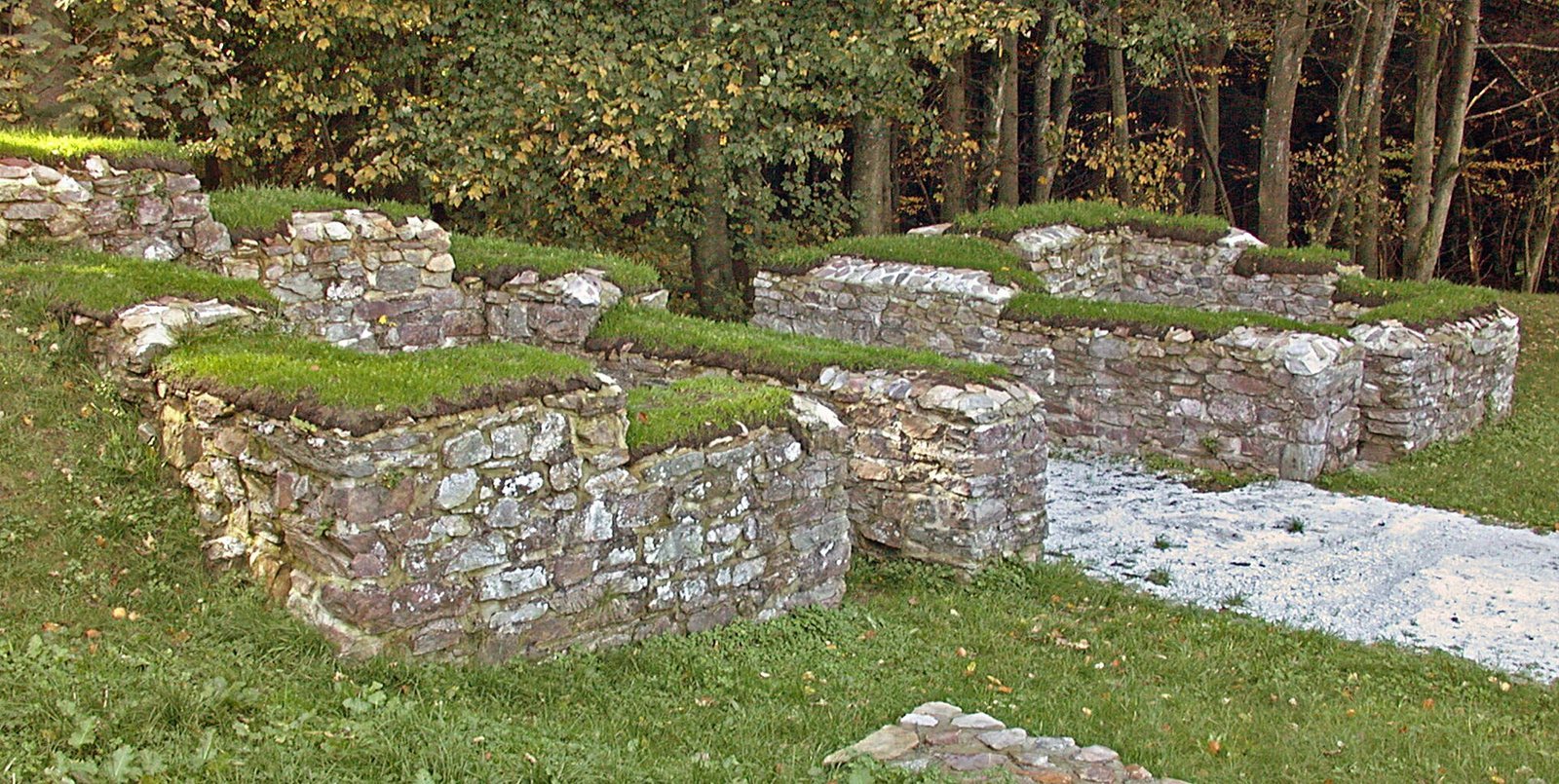
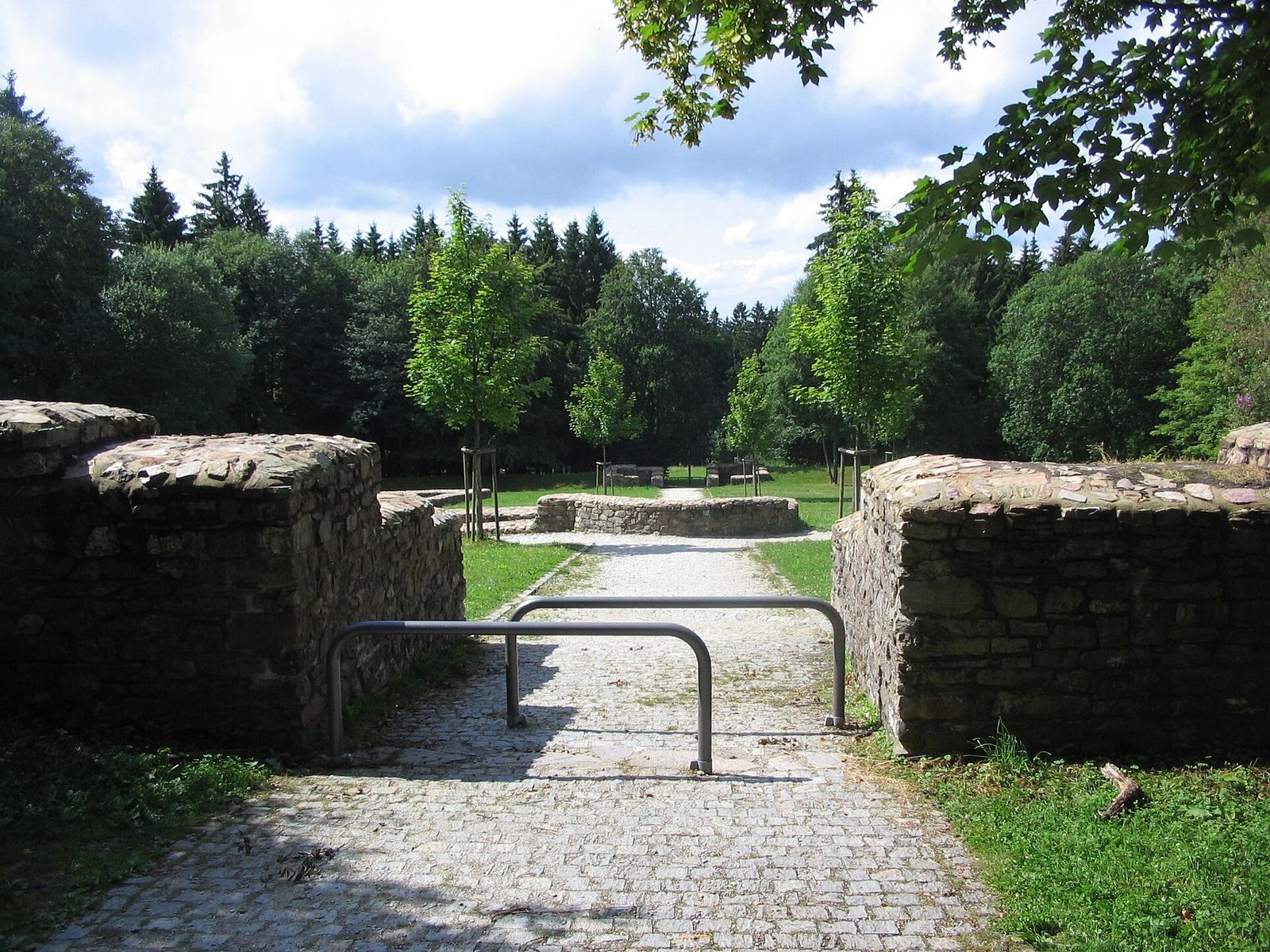
The stone-built fort formed a rectangle measuring 78 by 93 metres and covering just over 0.7 hectares. It stood more than 700 metres above sea level, with its northern wall on the boundary between Glashütten and Niederreifenberg, in the municipality of Schmitten. Its main gate faced northwest toward the Limes, about 100 metres away. The fort is partly reconstructed and was the highest-situated military fort on the Upper Germanic-Raetian Limes.
Fort defenses
Walls, gates, and ditch
The perimeter wall consisted of irregular blocks set in mortar. A white coating painted with lines imitating ashlar joints gave the surface the appearance of neatly arranged stonework. A single V-shaped ditch encircled the fort. Towers stood against the wall at its four rounded corners, while each of the four gates had a pair of flanking towers. An earthen bank inside the wall rose nearly to the battlements and provided a walkway along the defenses.
Buildings within the fort
Headquarters and principal buildings
The headquarters stood at the centre of the enclosure and contained a shrine for the unit’s standards. A grain store lay northwest of it, while a stone building to the east may have been the commander’s residence. Most structures inside the fort were timber or half-timber buildings. A timber barrack occupied part of the southern rear area, immediately west of the headquarters.
Workshops and water installations
Timber workshops and stables stood east of the road leading north to the main gate. Foundations beside the cross-street may have supported terraces on the sloping ground. Wells and cisterns also served the fort.
Bath and civilian settlement
Military bath
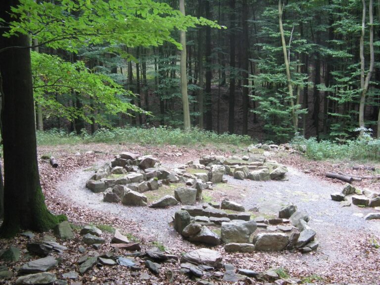
The military bath stood outside the fort on the side facing the Limes. Its foundations were included in the restoration of 2004–2005.
Settlement and cemetery
The civilian settlement occupied two areas, southwest and southeast of the fort, beside roads leading from its gates. Its buildings were mainly closely spaced long houses. A cemetery lay southwest of the garrison.
Water, landscape, and frontier remains
Spring and grazing land
The source of the Weil lies about 200 metres southeast of the fort, uphill in spruce forest. A fragment of wooden water pipe found there was dated by tree rings to about AD 170. The Reifenberg meadows northwest of the fort, the Taunus’s highest meadows of their kind, provided grazing for the Roman civilian settlement.
Sculptural fragment
Fragments of hair from a large bronze sculpture found in the fort area date to around AD 230.
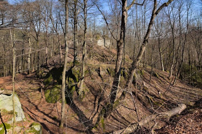
Limes installations
In the Taunus forests between the fort and the Saalburg, the Limes remains well preserved. Its bank and ditch can be traced for many kilometres. Some smaller installations survive as conserved foundations or remain visible in the terrain.