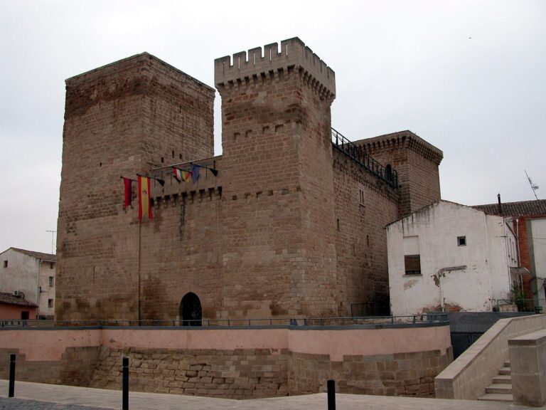
Resa: A Medieval Settlement and Defensive Stronghold in Spain
Site at a Glance
- Popularity
- Medium
- Country
- Spain
- Primary era
- Medieval
- Eras represented
- Classical, Medieval
- Civilizations
- Kingdom of Navarre, Roman
- Site type
- Settlement
On this page12 sections
History
Resa is an archaeological settlement beside the Ebro River in Spain, occupied from the sixth through the thirteenth centuries, although its foundation date is unknown. It was inhabited during Muslim rule. Around 908, Sancho Garcés I of Pamplona extended his emerging kingdom into the region after taking it from the Banu Qasi, a Muslim ruling family based at Tudela and subject to the Umayyad rulers of Córdoba. Resa became a defensive stronghold, first against Muslim forces and later against Castile. Its fortifications also guarded a bridge across the Ebro.
Sancho Garcés I and the royal settlement
Sancho Garcés I died at Resa on 10 December 925, when he and his horse fell over a precipice. His reign had lasted twenty years. The late tenth-century Chronicle of Albelda says he was buried in the portico of a church dedicated to St Stephen, without identifying the church’s location. Historian Antonio Ubieto later identified it as San Esteban de Resa. Annual masses for the king’s soul were held there for years. Councils also took place at Resa, attended by members of the Pamplonese royal family, including Queen Toda and her son García Sánchez I, as well as bishops, nobles, and other witnesses.
Changing control and abandonment
Historian Julio Altadill traced Resa’s ownership during the reign of Sancho VII of Navarre, known as the Strong. He reported that the Crown acquired it for 30,000 sanchetes, a medieval Navarrese currency, from Rodrigo Díaz de los Cameros and his wife Aldonza. They had obtained the property from Alfonso VIII of Castile, who held it as security for peace under an agreement made in 1179 with Sancho VI of Navarre, known as the Wise.
By 1350, Resa had lost much of its strategic value. Plague outbreaks and rockfalls that damaged houses had left it almost deserted; only the family of Juan Jiménez de San Adrián remained. That year, residents of Andosilla bought territory associated with Resa from Charles II of Navarre, with the riverside woodland and saltworks excluded. In 1414, Charles III granted Pierres de Peralta the revenues from those two properties. The caves had been abandoned by 1380, and the settlement itself was deserted by the beginning of the fifteenth century. Its name appears in forms such as Arrezo, Arreza, Aresa, Areso, and Ressa, but its origin is unknown.
Archaeological investigation
Mechanical earth removal between 1975 and 1977, carried out to strengthen the Ebro’s defenses, heavily disturbed the Resa-1 archaeological area. Excavations began in 2018, and work from 2019 used the resulting trench as a reference. Archaeologist Josu Narbarte directs the excavation, with local volunteers and university students among those involved. Navarre’s cultural-heritage authorities, Andosilla, and the Aranzadi Science Society have also supported the work; Aranzadi has brought together records from several archives.
Remains
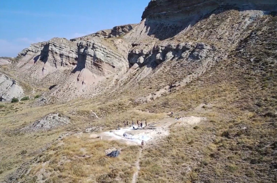
Resa’s archaeological remains occupy ground between the Ebro River and a ridge of Miocene sedimentary rock containing gypsum, clay, sandstone, and limestone. Resa-1 lies on a slope deposit built up at the ridge’s foot, on the La Veguilla river terrace and at the edge of an area subject to flooding in an event with a fifty-year recurrence interval. The river terraces comprise gravel, sand, and clay. Resa-2 consists of caves cut into the rock face. The floodplain between the two areas is now intensively irrigated, with patches of riverside woodland remaining.
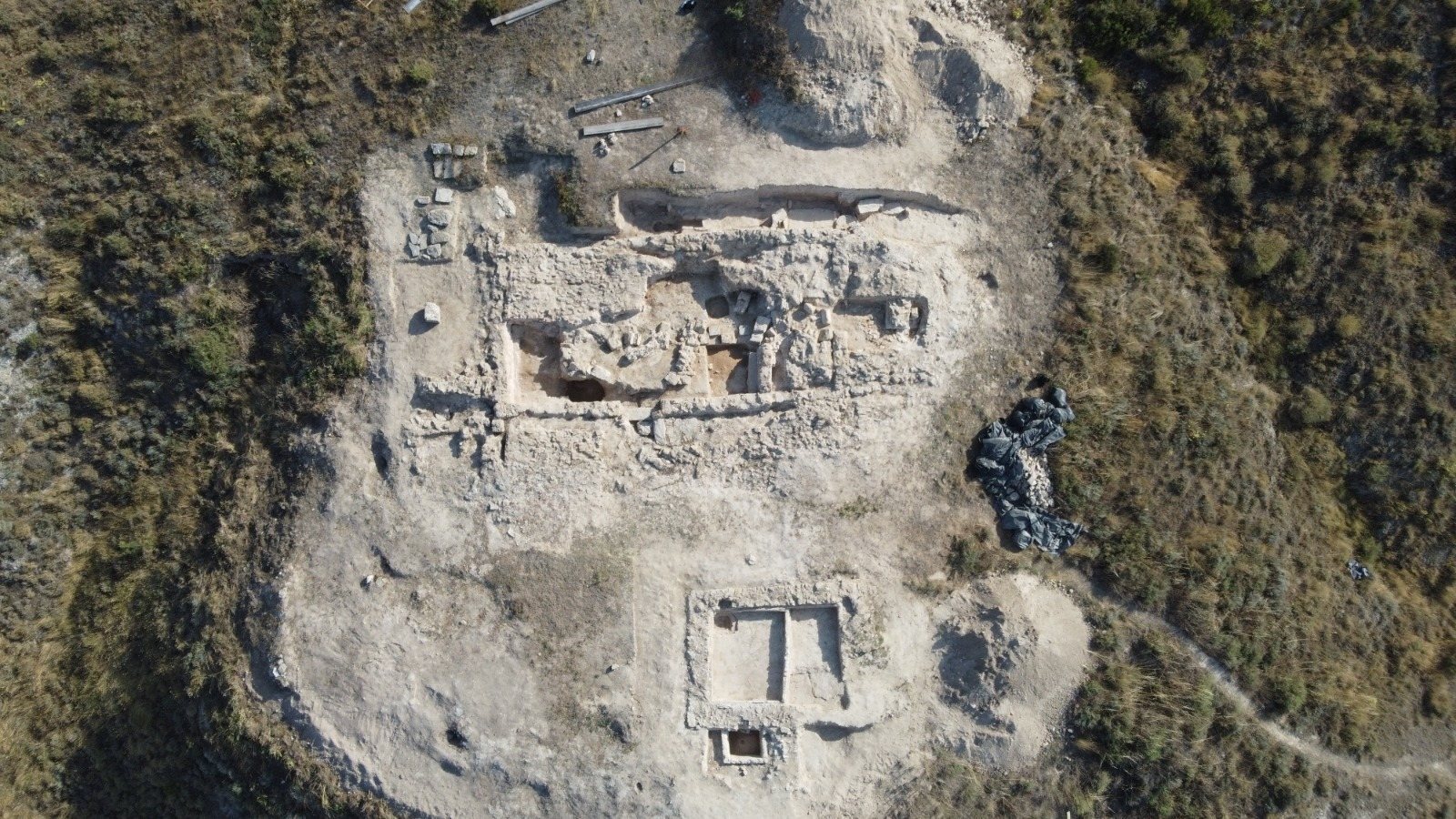
Within Resa-1, sector 1/100 sits at about 320 metres above sea level and contains the church, winepress, and graves. Sector 1/200 lies about 50 metres away on La Veguilla, at roughly 305 metres, and contains the Roman villa. The caves of Resa-2 occupy a separate part of the rock face overlooking the Ebro valley.
Roman villa
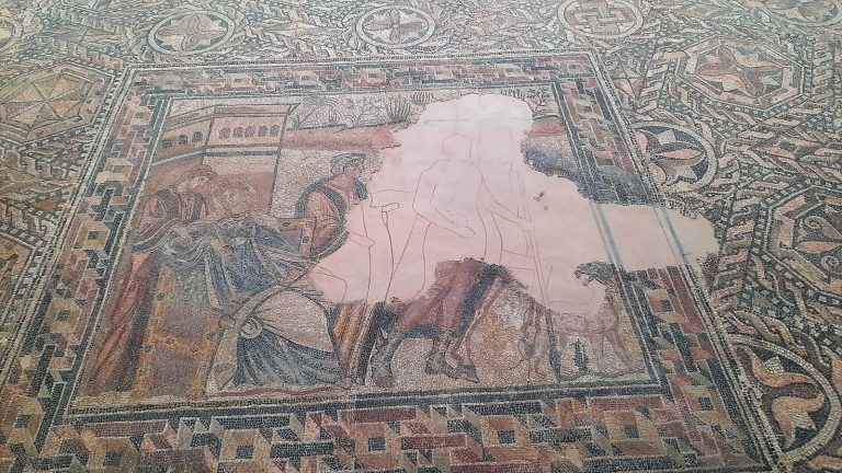
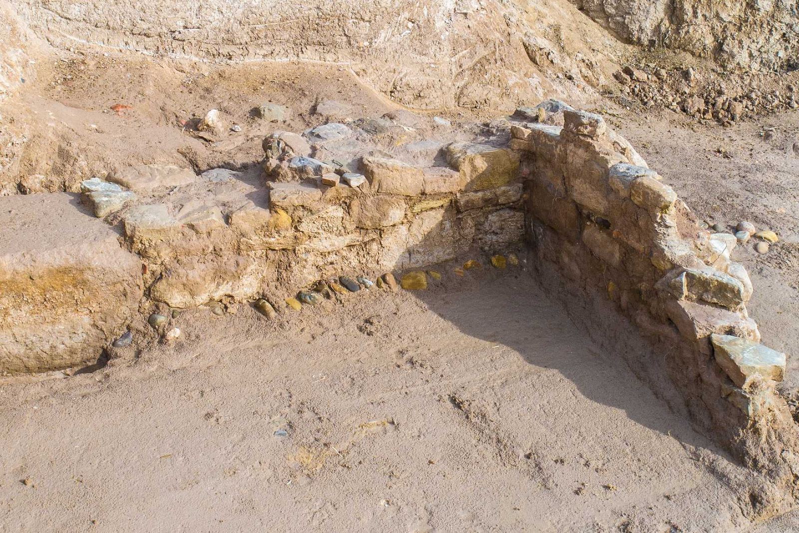
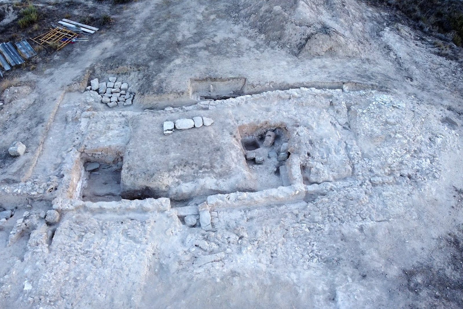
The villa lies 1.70 metres below ground and dates to the early Roman imperial period, probably the first or second century AD. It may have served as a centre for agricultural production and stood near Calagurris, now Calahorra. Its remains include a large wall running east to west, built with alternating bands of rubble and substantial ashlar blocks, which are carefully cut and squared stones. A smaller, less finely built wall crosses it at right angles and has a higher foundation.
The main wall’s eastern continuation was destroyed by earthworks in the late 1970s; its western end enters the cliff, and its full length is unknown. The walls belonged to one or more buildings, also affected by the earthworks, and large sandstone blocks scattered nearby formed part of the complex. Deposits on both sides of the main wall contained flat and curved roof tiles, bricks, fragments of Hispanic terra sigillata (fine red-slipped Roman tableware), and domestic-animal bones. These materials are associated with the buildings’ abandonment.
Church and burial ground
Church
The excavated church is one of Resa’s two churches and may be Santa María. It is a pre-Romanesque basilica, a long-plan church in an early medieval style that preceded Romanesque architecture. Its walls are 45 to 50 centimetres thick. A rectangular presbytery, the area around the altar, and a slightly horseshoe-shaped apse, the rounded end of the sanctuary, form the eastern part of the building. A choir area separates the sanctuary from the nave. Charcoal embedded in the inner plaster dates to between the second half of the eleventh century and the first quarter of the thirteenth.
Two large, single-piece gypsum pillars found in the rubble may have served as the side supports of a monumental doorway. One has two slots around its middle, possibly for a liturgical screen, a barrier used to separate spaces within a church. Plaster covered the nave’s interior and at least part of its exterior, where marks from the building process remain visible. The choir floor, made from gypsum and compacted earth, rested on a foundation extending beneath the building. A small wall was identified at the nave’s eastern end. Other squared stones and gypsum pillars may have formed ornamental arches.
In the apse, gypsum blocks bonded with mortar are interpreted as the remains of an altar. A separate stack of three gypsum blocks may have served as an auxiliary pillar. Pottery fragments in the debris from collapsed walls include grey and orange pieces, some with green or honey-coloured glaze. Part of the northern wall fell as a single block.
Cemetery
As many as 42 graves have been identified around the church, 37 of them with some form of built structure, showing that the burial area extended beyond the church’s immediate footprint. Fifteen graves were recorded during archaeological work, and 12 were fully excavated. These included simple pits, graves shaped to resemble the human body, and burials lined with flat stone slabs. Among 13 of the best-preserved graves, 11 retained covers, usually made from two to four flat slabs. Wood fragments from two graves may have come from a coffin or burial bier.
The 12 excavated graves contained at least 16 people. Most held one body; one held two and another four. Two graves contained human remains moved from their original burial place. One double burial held a young woman and a fetus estimated to have been 35 to 38 weeks into gestation. The fetus had been wrapped in cloth and placed between her thigh bones, suggesting she may have been its mother. The estimated sex of eight adults was evenly divided between women and men. Stature estimates were about 1.50 metres for women and 1.68 metres for men. Common signs of illness or wear included tooth wear, cavities, and joint problems, especially in the spine. Most burials date from the eleventh century to the first half of the thirteenth.
Winepress
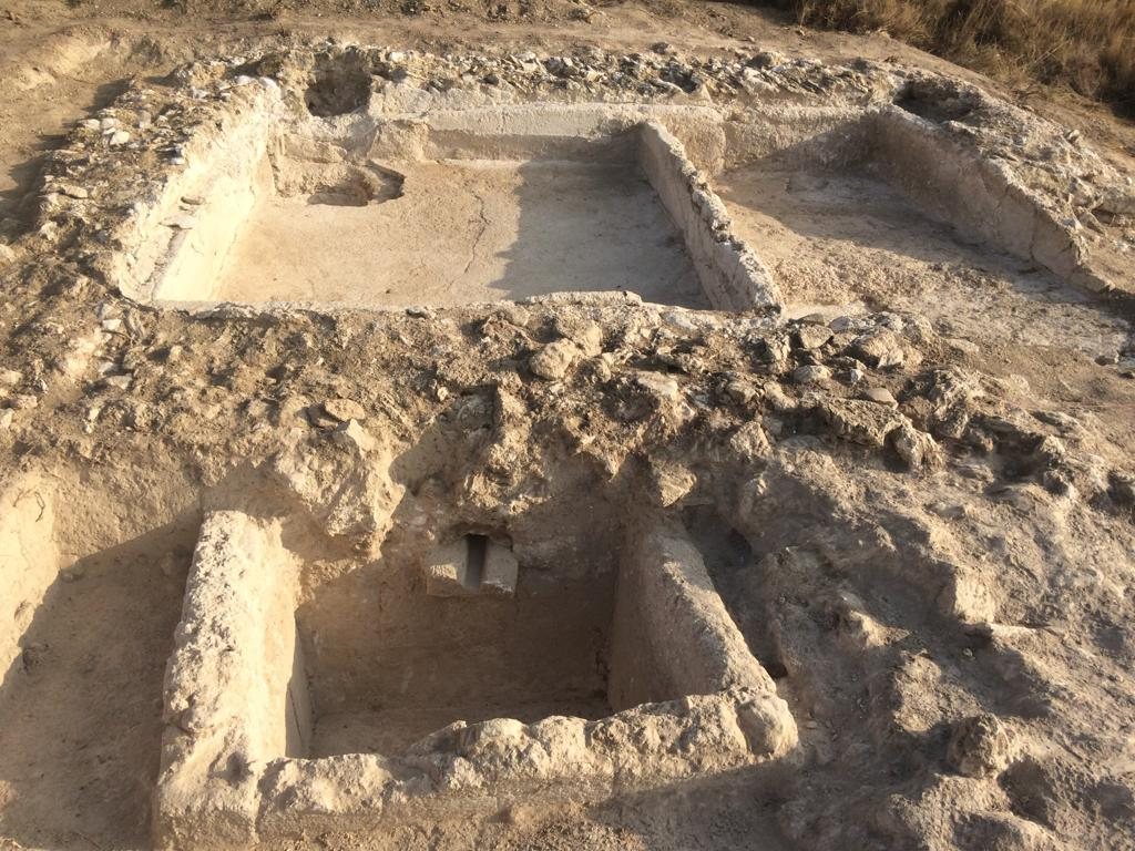
A medieval winepress stands within the cemetery area. It has a rectangular plan, with walls and a carefully finished floor made from lime or gypsum mortar. Its well-preserved opening and drainage channel lead through a pouring stone to a basin that collected must, freshly pressed grape juice before fermentation.
Rock-cut caves and defenses
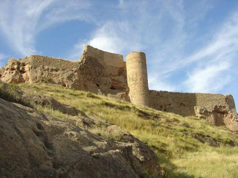
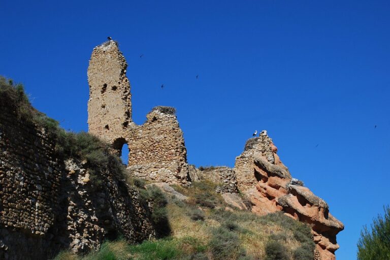
Thirteen caves have been inspected in the Resa-2 rock face, aligned about 30 metres above the ground. They were used as refuges during sieges and may represent the settlement’s otherwise uncertain castle. Masonry survives at the entrance of one cave, where seeds, mostly from grasses, were also found. A line of arrow slits remains visible on the rock face, along with poorly preserved remains of a structure that may have been a semicircular tower. Resa may also have had defensive walls.
Bridge and other structures
The settlement included a monastery and a tower, and its bridge crossed the Ebro. Jesuit historian José de Moret noted vestiges of the bridge in the mid-seventeenth century.