Parihaspore: A Karkota Capital in Kashmir
Site at a Glance
- Popularity
- High
- Country
- India
- Primary era
- Medieval
- Eras represented
- Medieval
- Civilizations
- Unclassified
- Site type
- Settlement
- Remains
- City
On this page7 sections
History
Parihaspore was a city in the Kashmir Valley of India, about 22 km northwest of Srinagar, built around AD 700 by Lalitaditya Muktapida of the Karkota dynasty. Lalitaditya moved Kashmir’s capital from Srinagar to the new city. Its Sanskrit name has been interpreted as meaning “city of laughter” or “smiling city.”
Kashmiri chronicler Kalhana describes Parihaspore’s creation in Book 4, cantos 194–204 of the Rajatarangini, his history of Kashmir’s kings. He recounts that Lalitaditya established a royal residence and four temples there.
Loss of the capital and decline
After Lalitaditya’s death, his son moved the royal residence elsewhere, and Parihaspore ceased to be the capital. Its decline began under the Utpala dynasty. During Avanti Varman’s reign, from 855 to 883, embankments and river works were undertaken to support agriculture. His minister Suyya redirected the river course. With the Jhelum no longer close to the city, its growth slowed and its importance diminished.
Avanti Varman’s son, Shankar Varman, transferred the capital to Shankarpur, now called Pattan. Kalhana relates that he took usable materials from Parihaspore’s temples and palaces for the new city. Parihaspore nevertheless continued to exist.
Destruction and protection of the ruins
During King Harsha’s reign, from 1089 to 1101, rebel leader Uccala took refuge at Parihaspore. Suspecting that Uccala was hiding in one of its buildings, Harsha set buildings on fire and had metal temple images broken up and melted. Kalhana describes the aftermath in terms of ash and darkness. In the fourteenth century, Sultan Sikandar destroyed the city’s temples, dealing another major blow to Parihaspore.
In 1892, archaeologist Marc Aurel Stein used the ruins to identify and locate structures. On a later visit that year, he found that stones had been taken for a road being built beside the Jhelum by the Maharaja of Kashmir. After Stein appealed to the British Resident, the Dogra ruler stopped further damage to the temple ruins.
Remains
Plateau and surviving remains
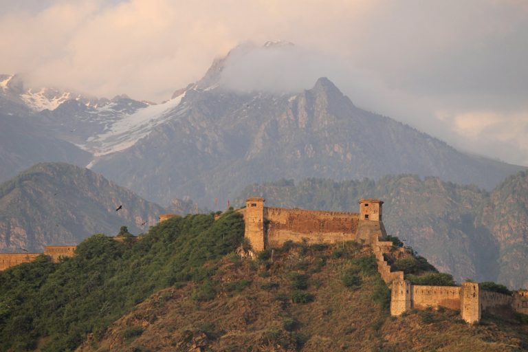
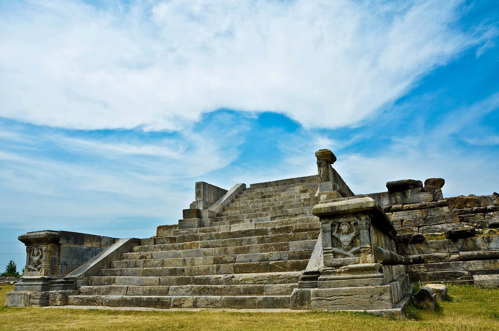
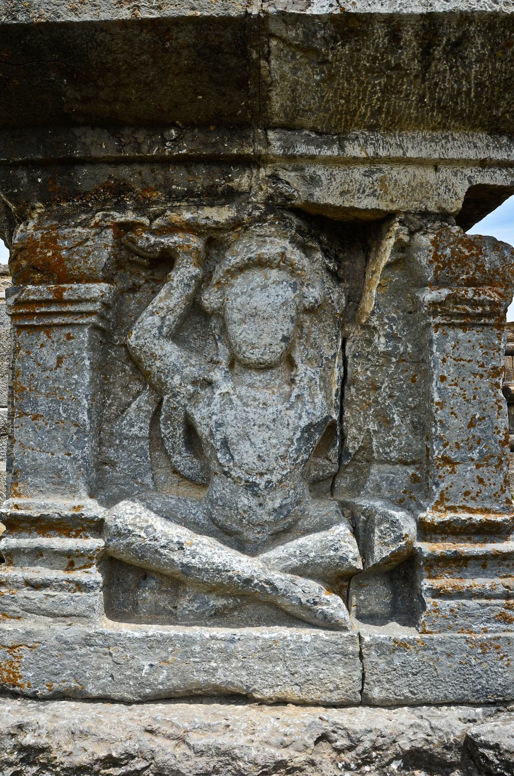
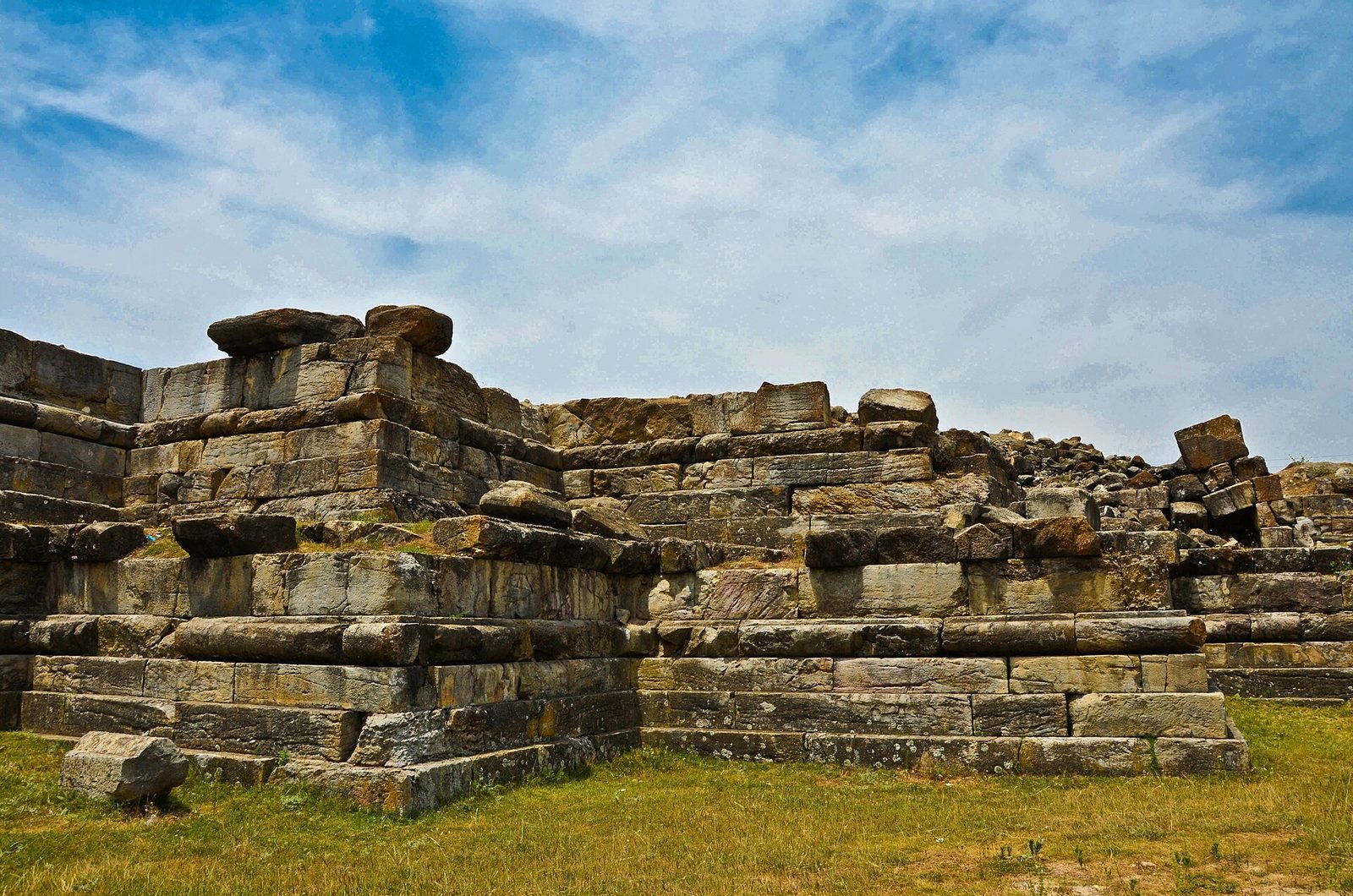
The remains occupy a broad, flat plateau near the Jhelum, above the flood levels of both the Jhelum and Sind rivers, which lie below it. The rivers once met nearer Parihaspore; their confluence is now at Shadpur, northeast of the site. The plateau also affords views across the valley and toward the surrounding mountains. Large boulders, some elaborately carved, and carved foundations remain in place. Forms carved in brick fill positions where original forms were expected. Carved seated and standing figures from the site are held at the Srinagar Museum, and a garden is also among its present features. The ruins are locally called Kani Shahar, meaning “City of Stones.”
Temples described by Kalhana
Kalhana describes a Vishnu image made with 84,000 tolas, a traditional unit of weight, of gold, in a temple called Muktakeshva. Another temple held a silver image of Parihasa-Keshava. He also recounts a copper statue of the Buddha that he portrayed as reaching toward the sky. The principal temple was larger than the temple Lalitaditya built at Martand.
Buddhist structures
Excavated Buddhist remains include a stupa (a Buddhist commemorative structure), a monastery identified as Lalitaditya’s royal vihara (a Buddhist monastic residence), and a chaitya (a Buddhist place of worship) built from large limestone blocks.