Pomoná: A Maya Ceremonial City and Regional Capital in Mexico
Site at a Glance
- Popularity
- Medium
- Country
- Mexico
- Primary era
- Classical
- Eras represented
- Classical
- Civilizations
- Maya
- Site type
- Settlement
- Remains
- City
On this page12 sections
History
Late Classic growth and political power
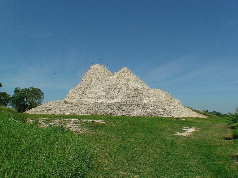
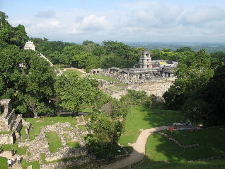
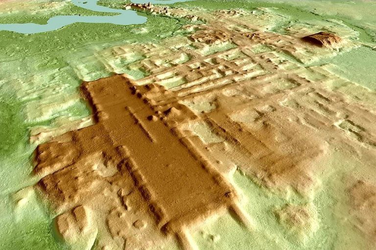
Pomoná is a Maya ceremonial city and regional capital in Mexico. Its development took place between about AD 600 and 900, while the surrounding region reached its height during the Late Classic, the later centuries of the Maya Classic period.
The city’s strategic position connected the Tabascan Usumacinta plain with the valleys and highlands farther upstream. Merchants travelled from Pomoná toward the Gulf of Mexico coastal plain, the highlands, and Petén in northern Guatemala. The city traded intensively with nearby Moral Reforma, Santa Elena, and San Claudio, and played an important part in regional political and commercial relations. Alluvial soils supported agriculture in the surrounding region, where Maya farmers used terraces, raised fields, and other methods to improve harvests on difficult terrain.
By about AD 692, Pomoná had become a highly organized, independent political entity controlling sites that included Panhalé, south of the city at Boca del Cerro, and Chinikihá farther south. It repeatedly fought neighboring Maya political centers over territory and control of river routes. A hieroglyphic text identifies Pomoná as an ally of Palenque. In AD 790, however, Pomoná fought Piedras Negras and was defeated. Other rivals included Calakmul and the more distant La Mar.
Decline, names, and modern study
Pomoná declined during the Early Postclassic, the period that followed the Classic era. The name Pomoná is a modern designation linked to a glyph interpreted as “house of copal,” an aromatic resin. The city’s earlier name was Pakbul. An emblem glyph has been read as “Divine lord of Pakab or Pakbul,” translated as “divine lord of the pipe.”
Farmers came upon the site in 1959 while surveying land for agricultural use. Field studies from 1986 to 1988 examined Pomoná’s political development. Of its architectural groups, the northern group was explored and consolidated.
Remains
Setting and construction
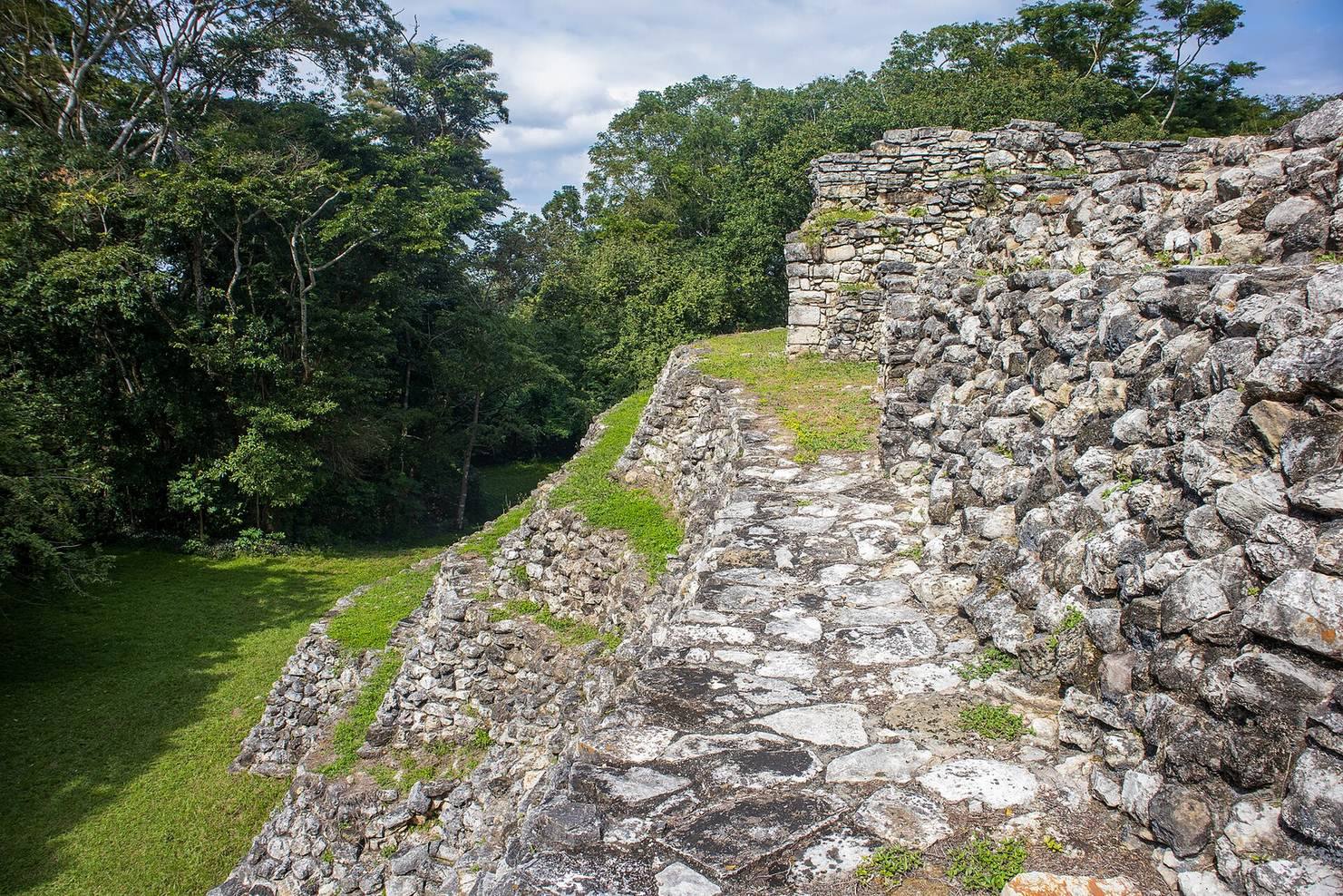
Pomoná is described as built on hills along the left bank of the Usumacinta. Its six main architectural groups and some residential areas extend across about 175 hectares on the right bank of Pomoná Creek, which rises in the lower Usumacinta region. The groups occupy hilltops separated by considerable distances, with relatively few buildings or homes between them, creating a dispersed settlement layout.
Builders used mainly limestone of varying hardness and quality, brought from the southern foothills. The nearest stone source was about six kilometres away. Brick was also used sparingly, in a form similar to brick found in buildings at Comalcalco.
Northern group
Plaza and altar
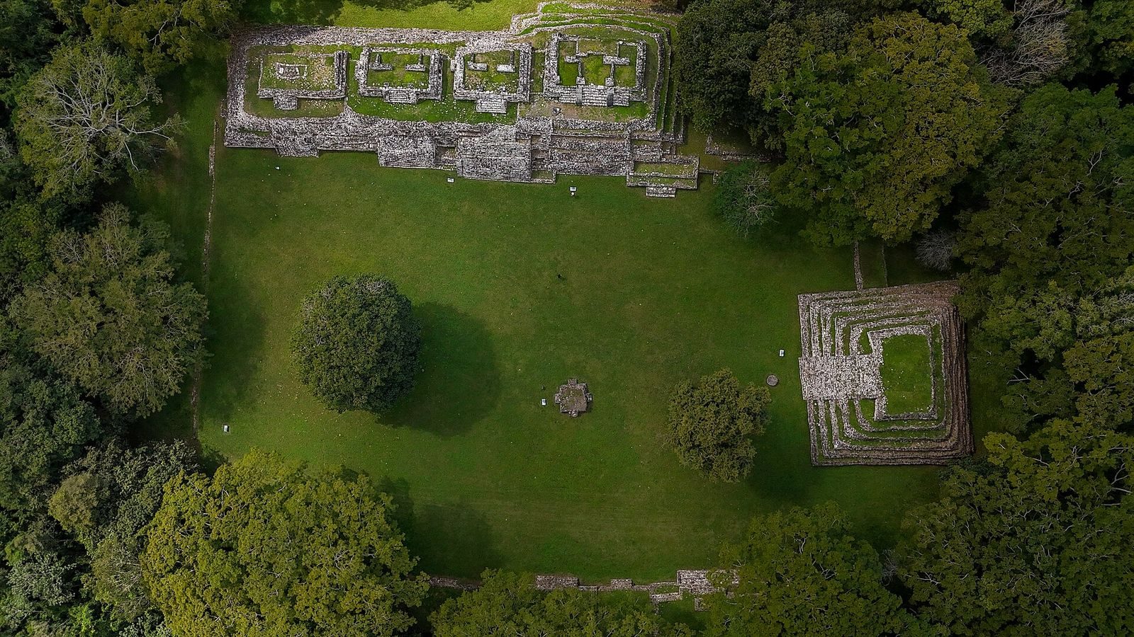
The explored northern group contains 13 buildings arranged along three sides of a quadrangular plaza. A low altar stands at its centre. The altar has a sloping lower body, a second body shaped as a panel, and broad moldings above and below. Four stairways, one on each face, have low side walls.
Western temples
Five large buildings line the plaza’s western side and face east. Three are Temples V, VI, and VII. Each has a stepped platform with a staircase and an upper temple covered by a vaulted roof.
Eastern and southern sides
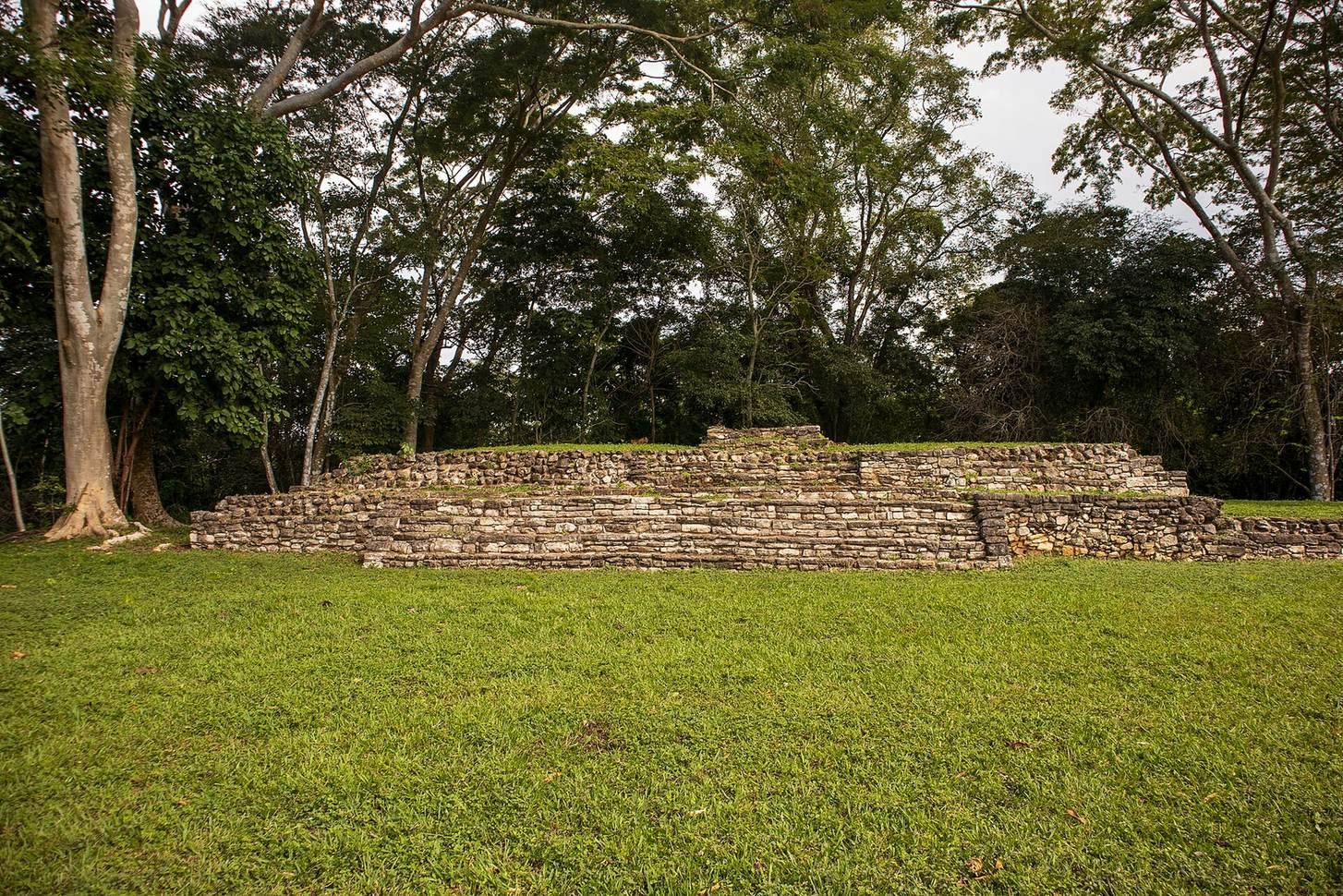
Low platforms mark the eastern side. One small platform has three tiers and recessed corners, with three edges rather than one at each corner. This design is associated with early phases of Maya architecture. At the southern end of the plaza, a covered area has access stairways. Their arrangement may have connected the group with more distant parts of Pomoná to the south.
Temple I
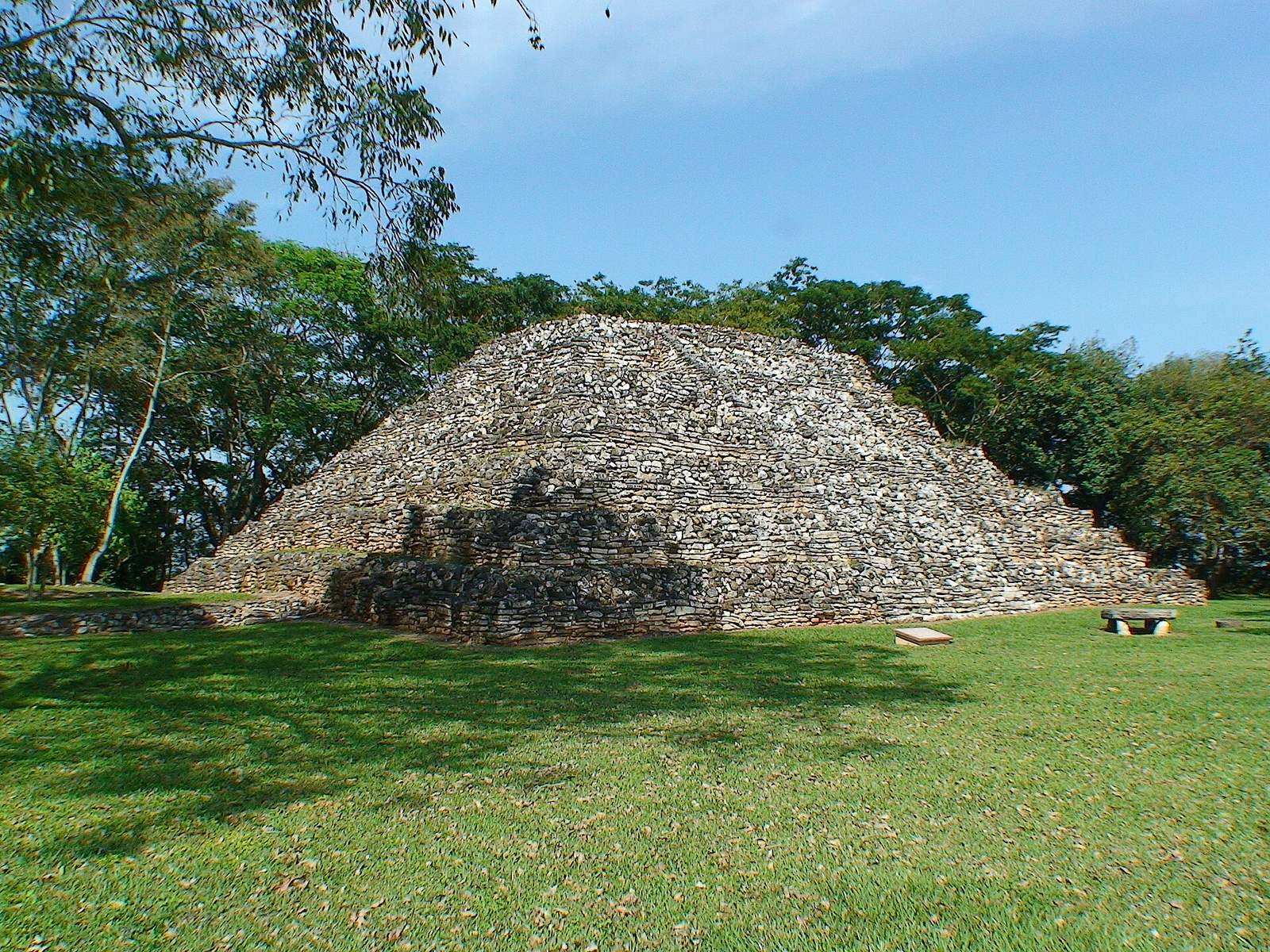
Temple I forms the plaza’s northern boundary. It is a large square pyramid-shaped platform with seven stepped tiers and vertical walls. Its principal face looks south, where a staircase with side walls leads upward. A circular altar stands raised on four supports at the foot of the stairs.
Building IV
Building IV is the group’s most complex structure. Stairways with flanking side walls ascend its stepped platform to an upper temple, which also has stairways bordered by side walls. Four monumental slabs on the upper temple depict Kin, a Maya solar deity. The surviving lower portions of the temple walls indicate two interior bays and three entrances. These openings were covered by a Maya corbel vault, a false arch made by masonry courses projecting inward toward the roof. Sculpted panels found inside show richly dressed figures and hieroglyphic inscriptions.
Inscriptions and museum collection
Hieroglyphic inscriptions at Pomoná provide information about the city’s chronology, its rulers, and their relations with neighboring cities.
A museum within the archaeological zone, administered by Mexico’s National Institute of Anthropology and History, displays objects recovered in excavations and holds a collection of 120 archaeological pieces. These include Maya stelae, upright stone monuments that may be carved or inscribed, and panels; limestone reliefs such as the Scribe’s Tablet; a stela depicting a high-ranking dignitary; a mask of the underworld Sun-Jaguar deity; distinctively shaped flint knives; a bust of a Maya figure; and a bearded older man wearing a cap.