Fort Longueuil: A French Colonial Fortified Residence in Canada
Site at a Glance
- Popularity
- Medium
- Country
- Canada
- Primary era
- Early Modern
- Eras represented
- Early Modern
- Civilizations
- French
- Site type
- Military
- Remains
- Fort
On this page8 sections
History
Construction in New France
Fort Longueuil is a French colonial fortified residence in Canada, built in the late 17th century by Charles Le Moyne de Longueuil in New France, France’s colonial territory in North America. It stood within the Seigneury of Longueuil, a landholding granted to his father, Charles Le Moyne, and served a defensive purpose.
The barony and wartime occupation
Governor-general Louis de Buade de Frontenac and senior royal administrator Jean Bochart de Champigny petitioned King Louis XIV to raise the seigneury to a barony, a noble title with an associated territorial rank. In 1700, the king approved the request. Charles Le Moyne de Longueuil became the only Canadian-born person raised to the rank of baron by a French king.
During the American Revolutionary War, when Britain’s North American colonies fought for independence, American troops are believed to have occupied the fort. British forces occupied it afterward.
Demolition and recognition
By 1810, the fort was in poor condition and was demolished. In 1923, it was designated a National Historic Site of Canada, a place recognized for its national historical importance. The designation includes the fort’s archaeological site.
Remains
Fort plan and construction
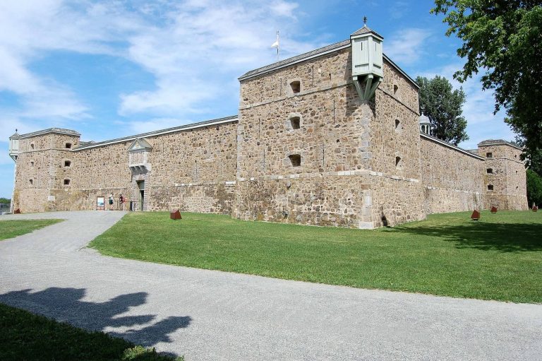
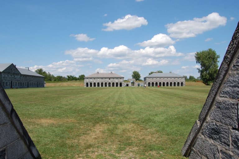
Built entirely of stone masonry, the fort covered a footprint about 68 metres across the front and 46 metres deep. Its principal components included four towers, a guardhouse, a chapel and several large residential buildings.
Buildings and farmyard
An inventory from 1723 lists a house measuring 72 by 24 feet, a chapel measuring 45 by 22 feet, a guardhouse measuring 25 by 25 feet and a barn measuring 70 by 30 feet. The grounds also included a stable for 12 horses, stables for 40 cattle, a sheepfold 30 feet square and other farmyard buildings.
Archaeological remains and present setting
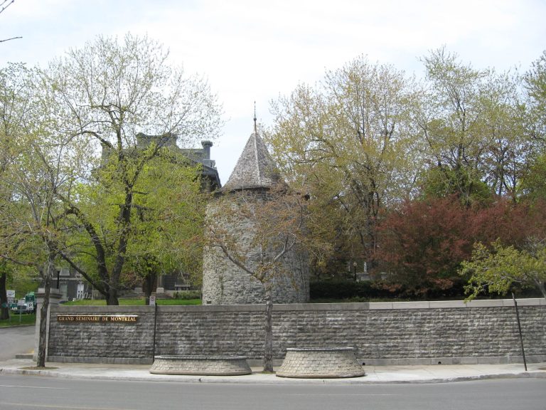
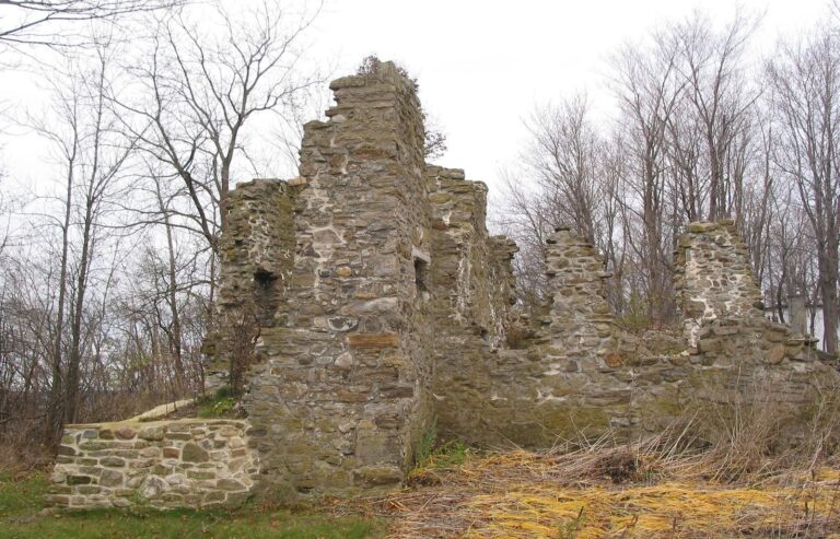
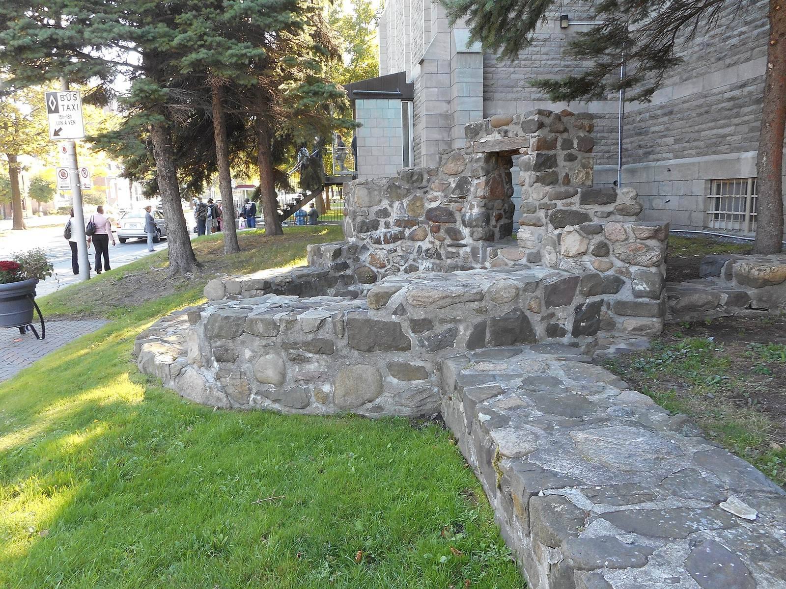
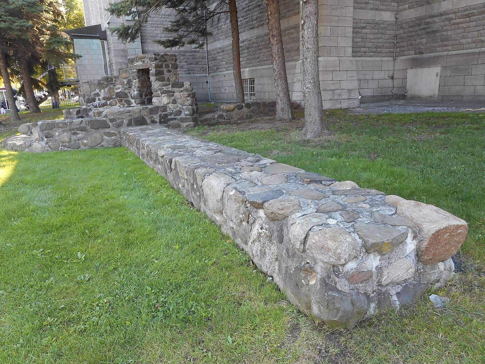
The fort extended partly beneath the present-day Saint-Antoine-de-Padoue Co-Cathedral, a church that shares cathedral status in a diocese, and into areas now occupied by Saint-Charles Street, Chambly Road, a bank branch and a restaurant. Parts of the fort can be seen through a purpose-made opening in the floor of a Royal Bank of Canada branch. Excavations in 1971 uncovered the northeast wall and east tower beneath Chambly Road; the remains were cleared and moved a few metres to the cathedral grounds.