Lauenstein Castle: A Medieval Stronghold in Germany
Site at a Glance
- Popularity
- High
- Country
- Germany
- Primary era
- Medieval
- Eras represented
- Medieval, Modern
- Civilizations
- Holy Roman Empire, Kingdom of Hanover
- Site type
- Military
- Remains
- Castle
On this page14 sections
History
Lauenstein Castle is a medieval stronghold above Lauenstein in Germany, built by the Homburg lords around 1240 after their victory over the counts of Spiegelberg. A castle at Spiegelberg had been destroyed in 1226. Lauenstein was first mentioned in 1247, when Heinrich von Homburg transferred it to Duke Otto the Child and received it back as a fief, a grant held from a superior in return for obligations. The arrangement placed the castle under Welf protection.
Territorial seat and changing lordship
By 1359, the castle’s territory included 40 settlements between the Ith and Hils ridges and the Leine River. People from abandoned villages in the surrounding area later settled beneath the castle’s protection and founded Lauenstein, first recorded in 1430. The castle served as the seat of the Homburg Amt, a territorial administrative district.
When the Homburg male line ended in 1409, the castle and its lands passed to the Welf dukes of Brunswick-Lüneburg. The dukes pledged it in 1433 to Magnus, bishop of Hildesheim, an ecclesiastical principality. Magnus granted it as a fief to the von Cramm brothers in 1434, Ludolf von Ruscheplate in 1445, the Böcke brothers of Nordholz in 1456, Bartold von Oberg and the knightly brothers of the Rutenberge in 1495, Heinrich von Saldern in 1497, and Burchard von Saldern in 1515.
Conflict and decline
In 1515, Burchard and his two brothers took control of the castle and Amt from their father, Heinrich. The bishop ended their agreement, but the brothers resisted leaving and sought 3,000 guilders for their spending on the defenses. An arbitration in 1518 ordered the bishop to repay their costs and the brothers to depart. Burchard rejected the payment and was forced out; the bishop installed Stacius von Münchhausen as his bailiff.
After an unsuccessful attack on the castle, Burchard set it on fire in retaliation and placed a written confession on its gate. The arson intensified the Hildesheim Diocesan Feud, an early 16th-century territorial conflict between the bishopric and neighboring rulers. The Brunswick-Lüneburg dukes retook the castle in 1521 and restored Burchard to the Amt. In 1587, his son Heinrich fell into conflict with the dukes and had to leave. Bailiffs administered the castle thereafter.
During the Thirty Years’ War, a major European conflict fought from 1618 to 1648, imperial troops under Tilly invaded Lauenstein, damaged it extensively, and occupied the settlement for four years. Swedish troops arrived in 1637, and troops from Weimar plundered the settlement in 1640. The castle had lost military importance from the 16th century and deteriorated further after the war.
Later changes
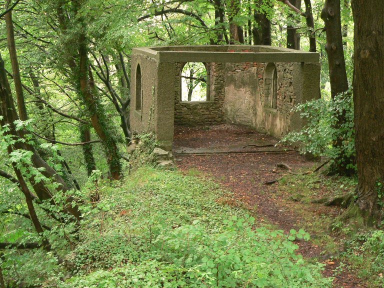
A house fire destroyed Lauenstein in 1730, and castle stone was reused in rebuilding the settlement. In 1737, Amtmann Niemeyer, an official who administered an Amt, acquired the outer ward, known as the Knabenburg, and farmed it until 1850. Further demolition took place as the castle decayed in the early 19th century, and its well was filled. In the mid-19th century, the hill was reshaped and planted with trees, and an observation tower and a chapel-like building were added on the summit.
Remains
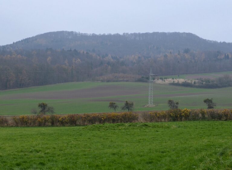
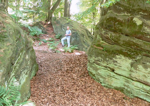
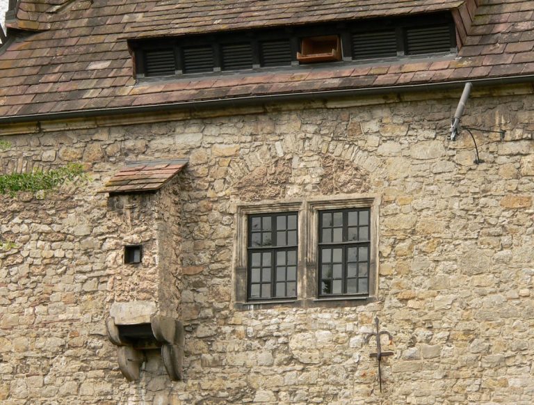
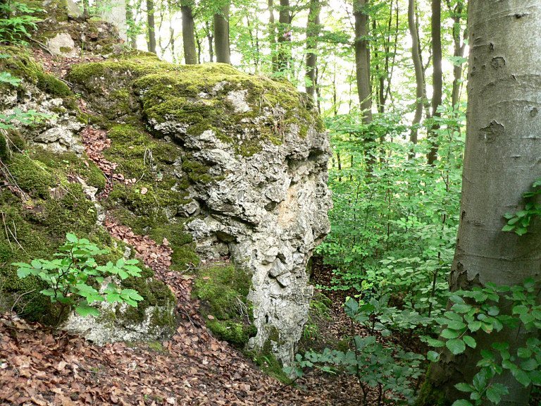
The castle occupies a wooded hilltop above Lauenstein, in a narrow valley descending from the Ith. Its roughly 50-by-50-metre plateau forms an island-like summit with steep slopes. The main castle stood on the southwest side, higher than the outer ward. Rubble-stone walls survive within the castle grounds, alongside the remains of the entrance and other hilltop structures.
Defenses and entrance
Moat and outer defenses
A wide moat, 6–8 metres deep, encircles the summit, with an outer rampart beyond it. A document from 1456 describes an outer ward surrounded by a moat and a defensive enclosure with two bulwarks, or defensive projections.
Northern approach and gateway
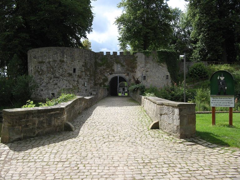
The approach lay on the north side. In front of the gateway, the walls of a defensive enclosure still stand about 4 metres high; towers flanked the gate building.
Castle interior
Residential hall and entrance passage
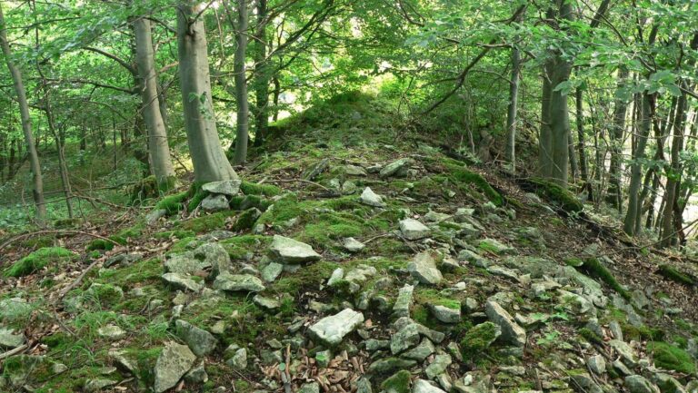
A surviving corner is thought to belong to the residential hall and contains loopholes, narrow openings through which defenders could fire. The remains of a slightly bent passage lead into the courtyard; it was once covered by a barrel vault, a continuous, tunnel-shaped ceiling. Rubble-stone walls within the castle are about 2 metres thick and reach roughly 1.8 metres in height. The enclosing wall may originally have been about 3.5 metres thick.
Buildings named in 1456
The 1456 document also describes a cellar beneath the Great House, a kitchen, and a bakehouse with two chimneys. These details provide a record of buildings associated with the castle beyond its surviving wall fragments.
Other hilltop structures
Observation tower
Remains of a small, round observation tower stand at the hill’s highest point. The tower has fallen into disrepair.
Tea house and chapel-like building
A tea house near the tower has a collapsed ceiling. A separate chapel-like building, probably dating to the 19th century, also stands on the hilltop.