King’s Castle: A Crusader Fortress in Mi’ilya, Israel
Site at a Glance
- Popularity
- Medium
- Country
- Israel
- Primary era
- Medieval
- Eras represented
- Medieval
- Civilizations
- Crusader, Kingdom of Jerusalem, Mamluk
- Site type
- Military
- Remains
- Castle
On this page13 sections
History
Crusader foundation and royal role
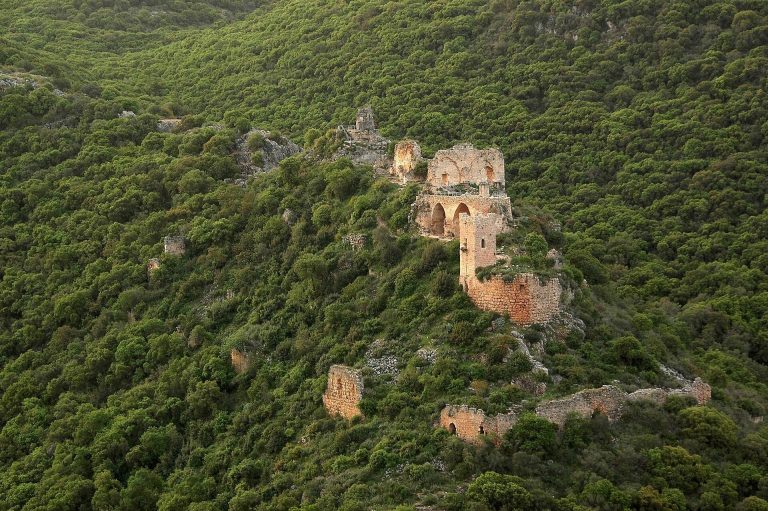
King’s Castle is a fortress in Mi’ilya, Israel, built by Crusaders in the early 12th century. By 1160, it was associated with Baldwin III, king of Jerusalem, as a royal fortress. Known in Latin as Castellum Regis and in French as Château du Roi, it guarded a route from the coast and Acre toward Galilee and Lebanon. It also served as a royal tax-collection post. A garrison of seven or eight knights oversaw an area of about 70 to 80 villages.
In 1160, Baldwin granted the castle to John of Haifa as a hereditary fief, land held in return for service with inheritance rights. It was also the center of a large fief associated with Guido de Milly. His family held 36 villages and farms, did not live at the castle, and built Montfort Castle.
Inheritance and changing control
Around 1180, Joscelin III acquired Mi’ilya and its surrounding territory through his marriage to Agnes de Milly. The settlement had separate courts for nobles and for the urban middle class. After Joscelin’s estate was divided among his three daughters, the castle passed to his son-in-law Otto von Botenlauben, who had married Beatrix de Courtenay.
Saladin, the Ayyubid sultan who opposed the Crusader states, captured the castle in 1187. It returned to Crusader control in 1192 under the Treaty of Ramla. In 1220, Otto sold it to Hermann von Salza, head of the Teutonic Order, a Christian religious and military order in the Holy Land. Jacob of Mandelée, a descendant of Joscelin’s youngest daughter, challenged the sale on inheritance grounds. The dispute ended in 1228, when the Order paid him to relinquish his claim.
The castle later declined because its income could not meet the high cost of its defenses. Its importance also diminished after Montfort Castle was renovated and became the Teutonic Order’s center.
Mamluk rule and later history
The Mamluks, a military ruling class that governed Egypt and Syria, besieged the castle in 1266 under Sultan Baybars and captured it in 1271. Muslim residents were settled in Mi’ilya, which became a center of Mamluk rule in the area. Local tradition holds that Mi’ilya’s founders emigrated to Lebanon in the early 17th century, after which the village’s Muslim residents moved to Tarshiha.
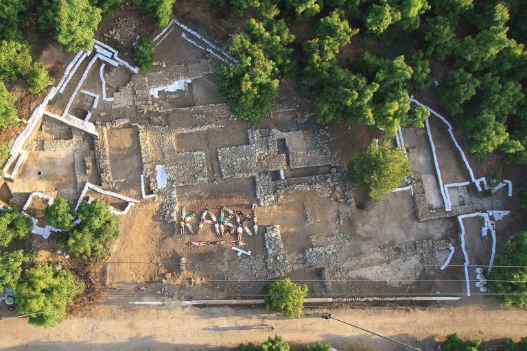
Since 2002, archaeologists from the University of Haifa’s Zinman Institute of Archaeology have investigated and secured the castle ruins and surrounding area.
Remains
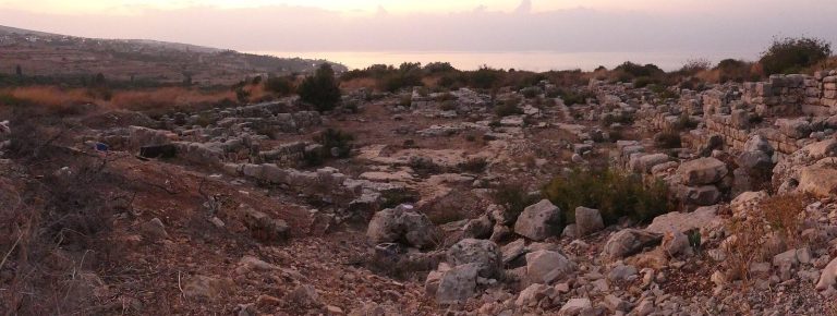
The castle occupies a hilltop in Mi’ilya, about 22 km northeast of Acre and 2 km southeast of Montfort Castle. It covered about five dunams, with a dunam measuring 1,000 square metres. The fortress had a rectangular plan, with square or rectangular towers projecting at its corners. Houses in the modern residential area stand beside the ruins or incorporate parts of them.
Main enclosure and construction
Before construction, workers quarried and levelled the rocky ground. The enclosing walls were about 3 m thick and reached roughly two storeys, with a nearly uniform height. A moat surrounded the fortress, with a sloping outer bank descending toward it. The enclosure had a single entrance, and a central cistern received water carried from cisterns outside the fortress.
Inner and outer compounds
Inner stronghold
Inside the walls were a courtyard and a long hall divided into smaller halls. The castle had two storeys with vaulted ceilings. Remains of the donjon, the castle’s principal inner stronghold, are visible in the village centre.
Outer bailey
Part of the outer bailey, the defended area beyond the main fortress, lies lower down the hill. Its remains combine masonry with spaces cut into the rock and include a chapel and residential buildings.
Surviving fabric in the village
Gateway and wall sections
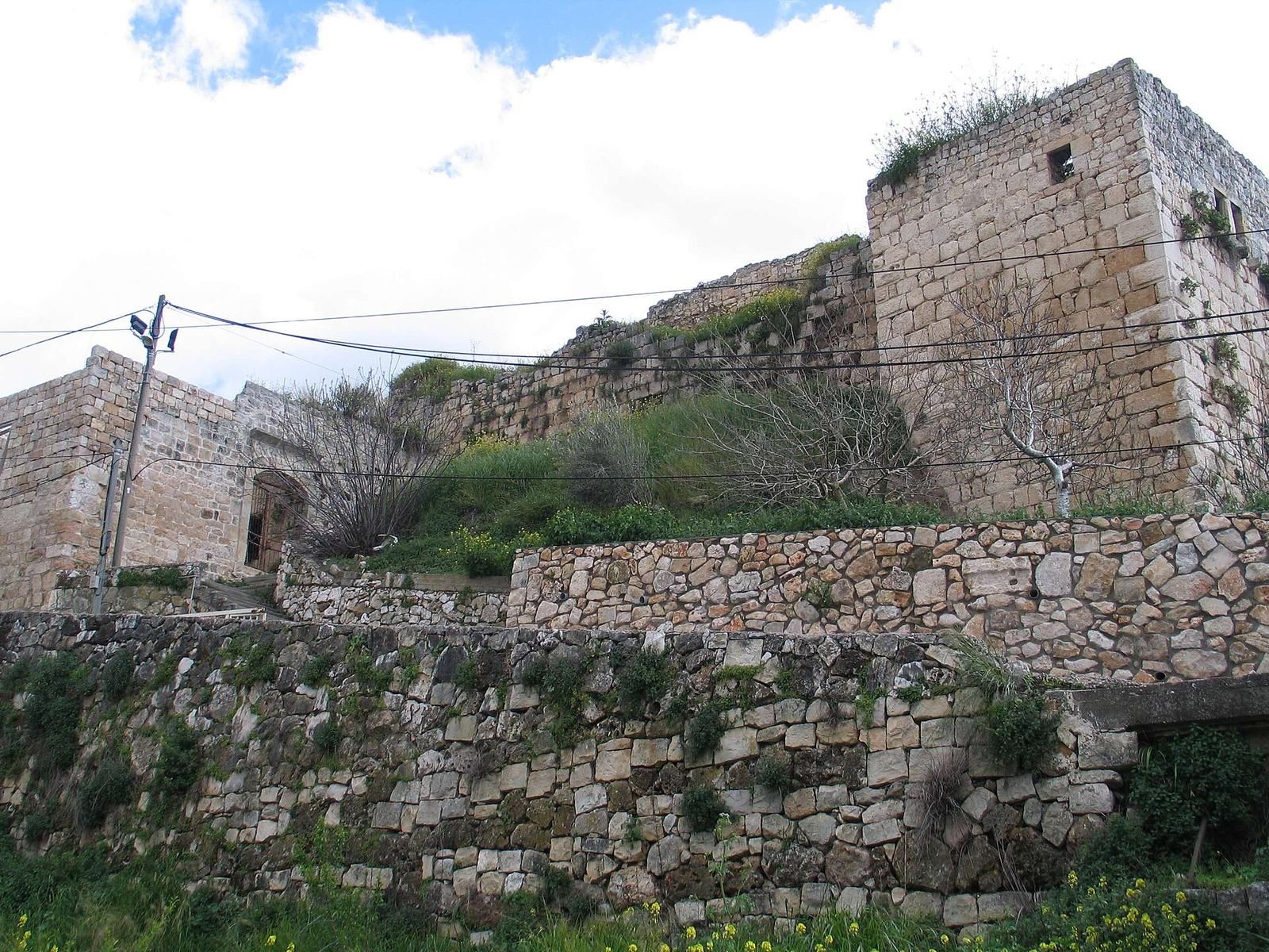
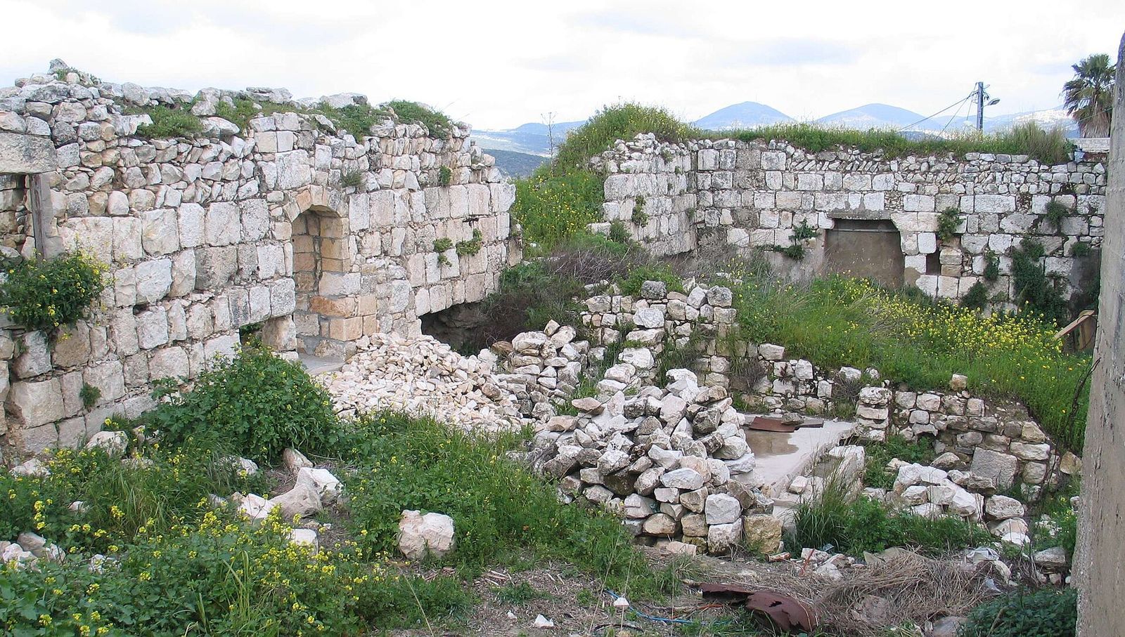
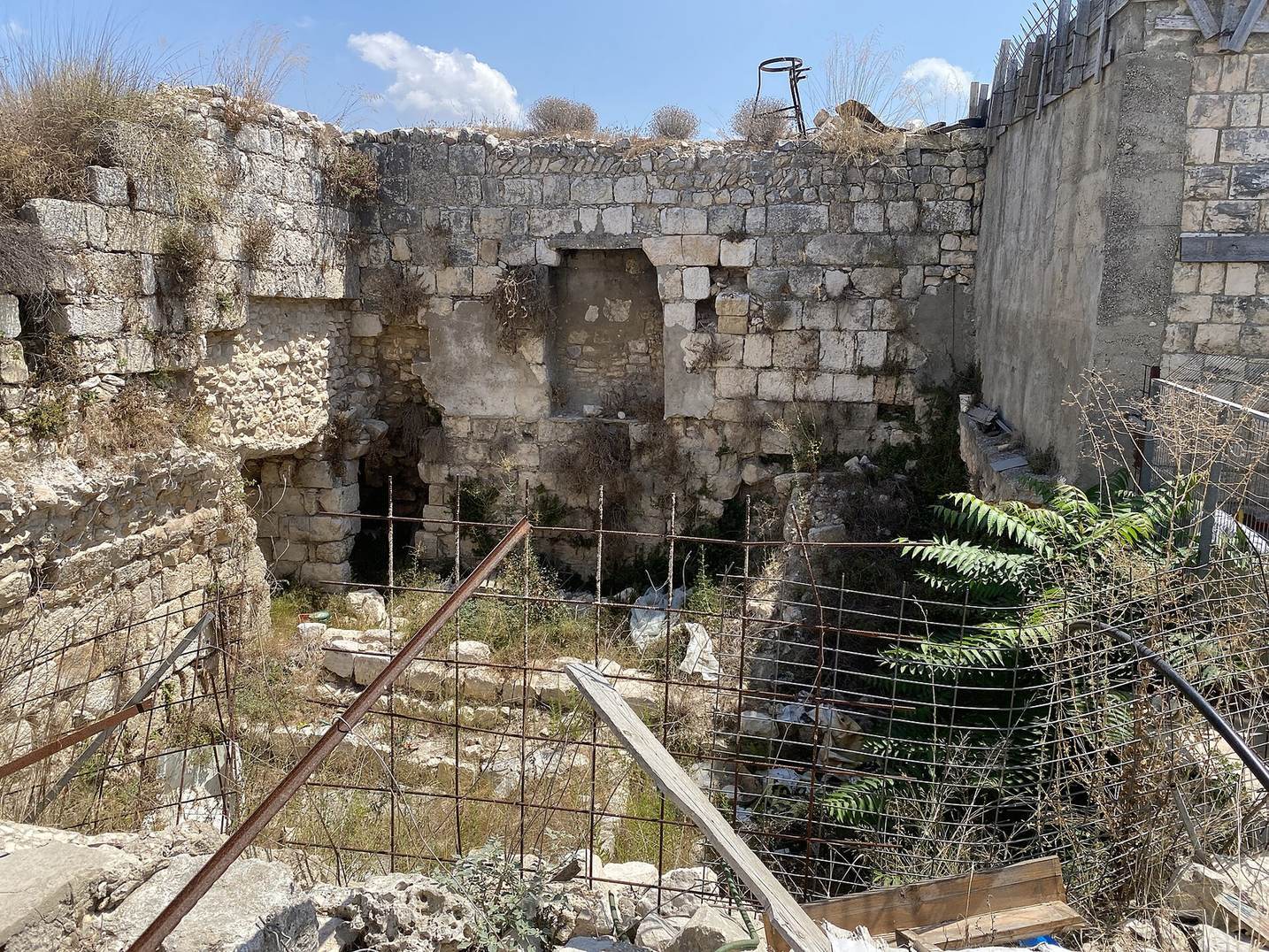
The ruins are poorly preserved, but sections of wall and a tower remain. A gateway survives in the western wall, with a Mamluk inscription set above it after the conquest. The castle’s southern wall now forms the northern wall of a later house.
Towers and associated features
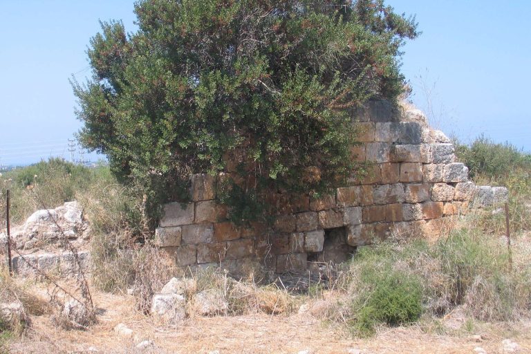
The northern part of the castle includes narrow firing openings, a stretch of enclosing wall with dressed bands along the edges of its stones, and identifiable passages within the walls. Some tower stones are worked on two faces, and five courses of corner stones have these dressed edge bands. The southeast tower has such stones at its corner, while the northwest tower is identified as the fourth tower. At the southeast corner, a wall joining the castle wall forms part of the local church. Three projecting support stones were found beneath an upper window in the northern part of the village. Near the road entering the village, a corner of a Crusader tower is incorporated beneath a modern house. It probably belonged to the outer fortifications, and remains of the northern moat lie nearby.
Reused stone
Some castle stones were reused by local residents to build a mosque during the Mamluk period.