Fort des Quatre Seigneurs: A Nineteenth-Century French Fort
Site at a Glance
- Popularity
- Medium
- Country
- France
- Primary era
- Modern
- Eras represented
- Modern
- Civilizations
- French
- Site type
- Military
- Remains
- Fort
On this page13 sections
History
Fort des Quatre Seigneurs is a French masonry fort on the boundary between Herbeys and Uriage, southeast of Herbeys. The French military built it from 1875 to 1879 as part of the first generation of the Séré de Rivières system, a network of French forts developed in the late nineteenth century. One of seven forts in Grenoble’s fortified belt, it was intended to defend the southern approach through Vizille, Uriage, and the Pinet-d’Uriage plateau, as well as to protect Fort du Mûrier. Its planned garrison numbered 430 men.
Construction and naming
The fort took its name from the hill where it stands, the Mountain of the Four Lords. The hill had once been divided among the jurisdictions of Eybens, Gières, Herbeys, and Uriage, with a cross marking their boundaries. Military advances during the period meant the fort saw little use for its intended defensive purpose.
On 21 January 1887, Minister of War Georges Boulanger, a French general and politician, renamed the fort for Jean-Baptiste Annibal Aubert du Bayet. Boulanger’s successor, Théophile Ferron, reversed the decision on 13 October that year, restoring the original name. Aubert du Bayet was born in La Mobile, in the colony of Louisiana, on 19 August 1759, and died in Constantinople on 17 December 1797. He represented Isère in the Legislative Assembly, France’s national legislature during the Revolution, in 1793, commanded forces in the Vendée, a region associated with a royalist counterrevolutionary uprising, became minister of war on 3 November 1794, and served as ambassador to Constantinople in 1796.
Wartime occupation and destruction
During the Second World War, Italian troops occupied the fort and used it to store ammunition. They left before Italy’s formal capitulation on 8 September 1943 and before German troops arrived on 12 September. On 12 September, Resistance fighters entered to take ammunition and blew up the fort to conceal their activities.
Military and research use
After the war, the French army used the site for military manoeuvres until 1966. The French Alternative Energies and Atomic Energy Commission (CEA), a national research institution, acquired the fort from the army in 1968 and used it as a laboratory, including for magnetometry, the measurement of magnetic fields. In 1993, the laboratory moved to a new site in Herbeys, where it became the Laboratory of Magnetic Metrology in Weak Fields.
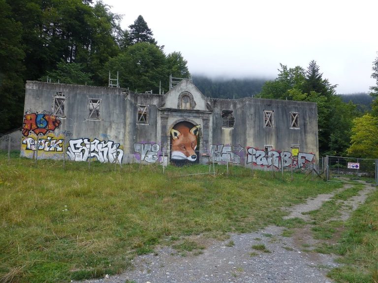
Small-scale clearance began in 1994 and uncovered ammunition in the fort and across a much wider area. Between 2012 and 2017, the CEA carried out extensive clearance of explosives and mines, completing the work in August 2017. The operation recovered three million cartridges for the Lebel, a French rifle introduced in the late nineteenth century and used during the First World War. The fort is abandoned and remains CEA property.
Remains
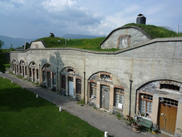
The fort is a roughly rectangular masonry structure at an elevation of about 937 metres. Its layout combines an artillery cavalier, a raised gun position, with small defensive projections for close-range protection. The entrance is on the short northwest side, while the fort broadens at its southeast end to accommodate a lower battery.
Plan and surrounding defenses
Main enclosure
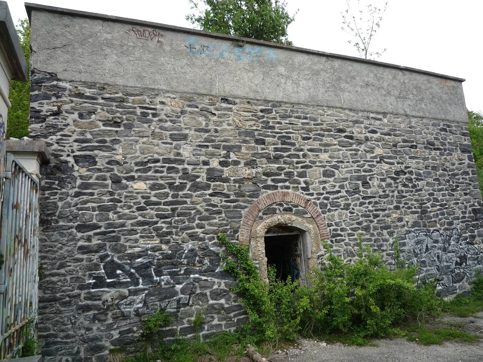
A bridge marks the main entrance, which is framed by two pilasters. The guardhouse stands on the left upon entry. The CEA substantially altered the entrance building. The fort’s position on the boundary between Herbeys and Uriage places it southeast of Herbeys.
Outlying batteries and magazine
Additional batteries occupy the open sloping ground outside the fort to its southwest and east. About 100 metres west of the main structure, a separate magazine is cut into rock.
Buildings and artillery works
Head front
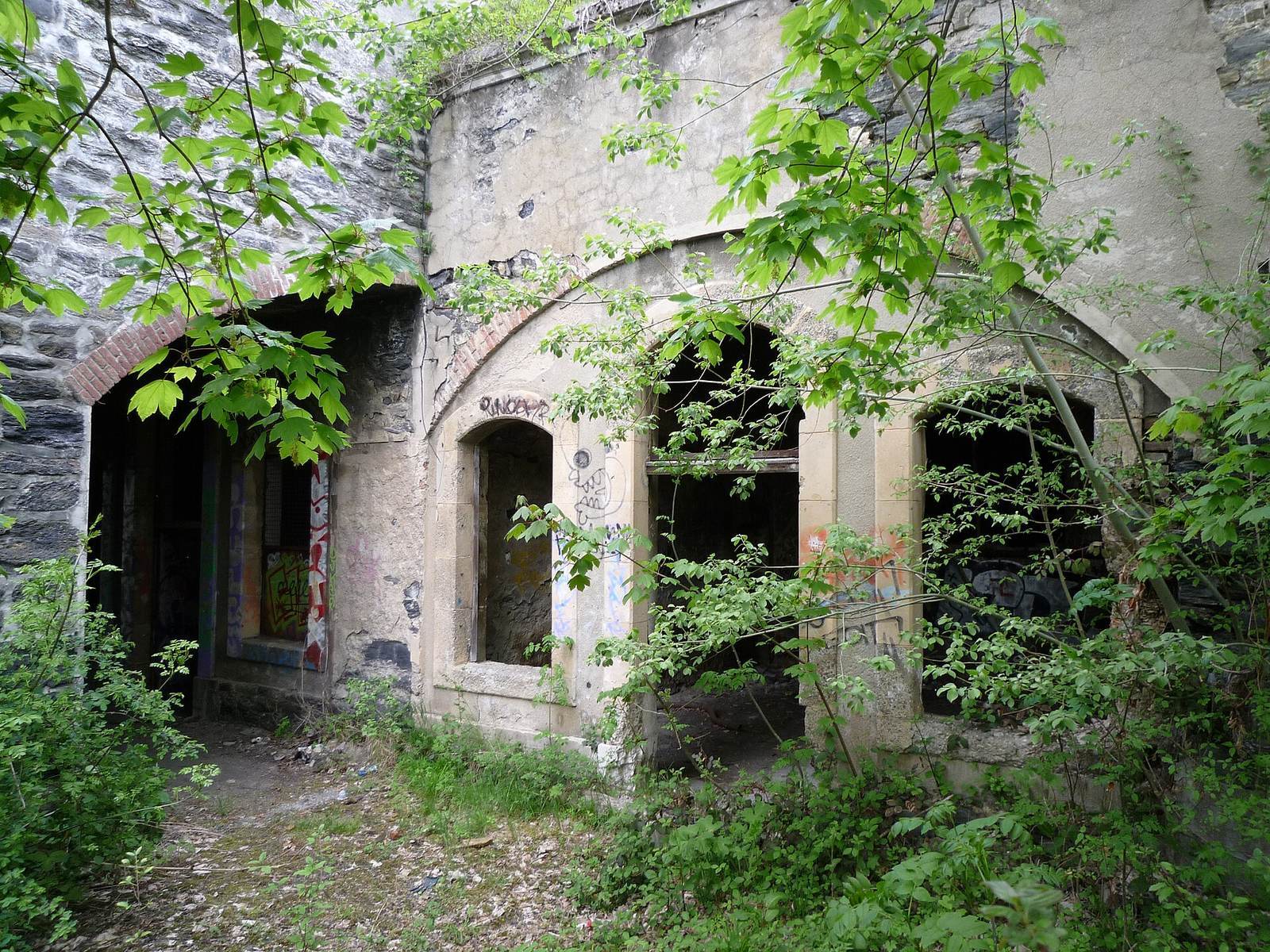
The head front has a row of 16 structural bays. Twelve are arranged in four groups of three, divided by corridors that open onto the façade. The first group lies partly beneath a tunnel passage. At the right end, the remaining four bays rise to two storeys.
Artillery position and stores
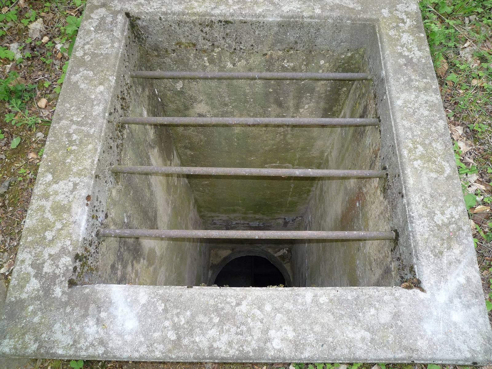
The fort’s stores were stacked vertically, with powder magazines beneath cartridge magazines and the artillery position above them. Five traverse shelters, protective structures set across a gun position, were aligned along the cavalier.
Southeast battery
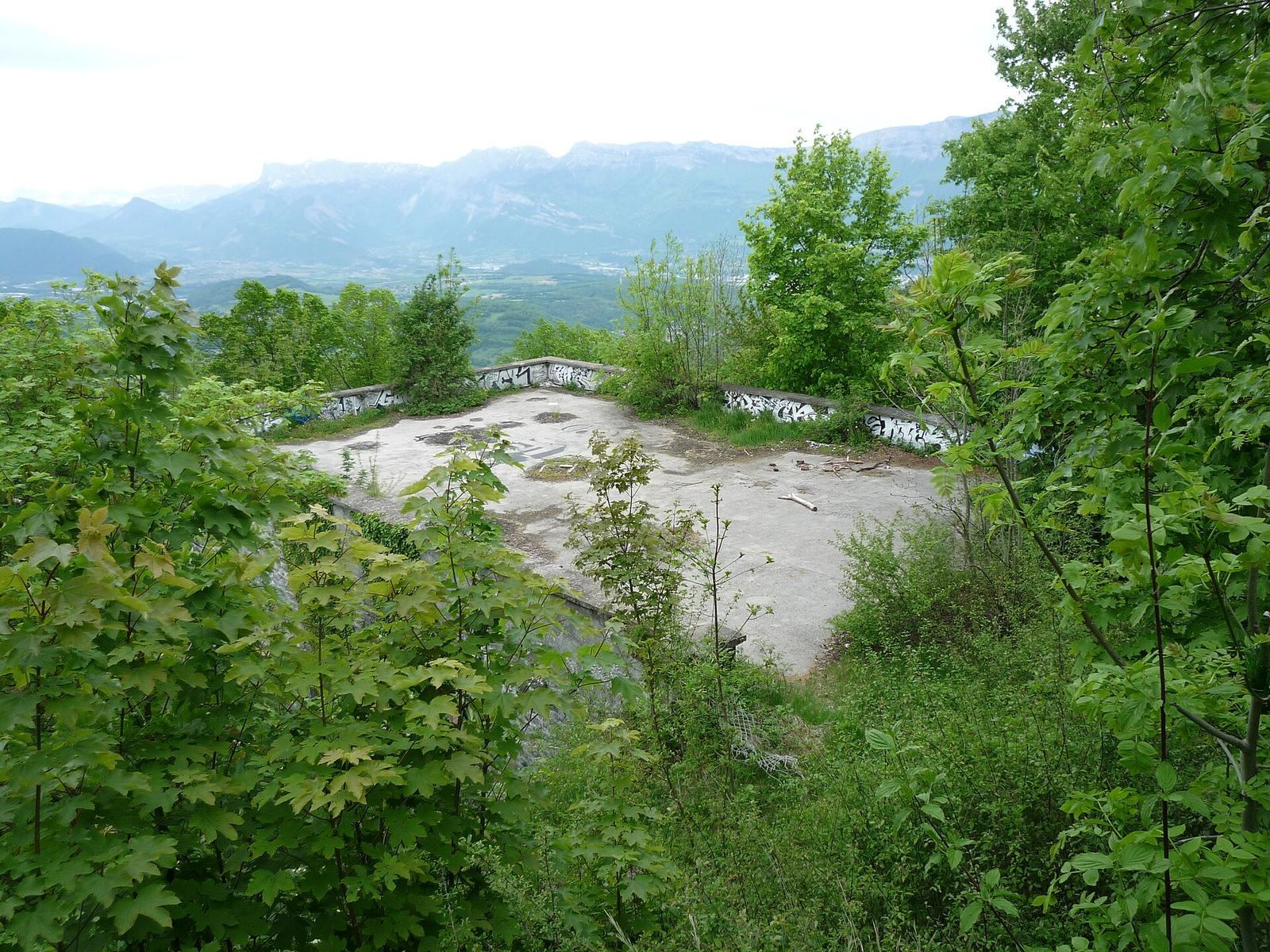
At the southeast end, the fort widens into a lower battery facing east, perpendicular to the cavalier. A built-in traverse shelter stands at its centre. The wider plan also accommodates two casemates, protected gun chambers, in a recess of the head front. Their embrasures, openings through which weapons could fire, are at different heights.
Condition and later damage
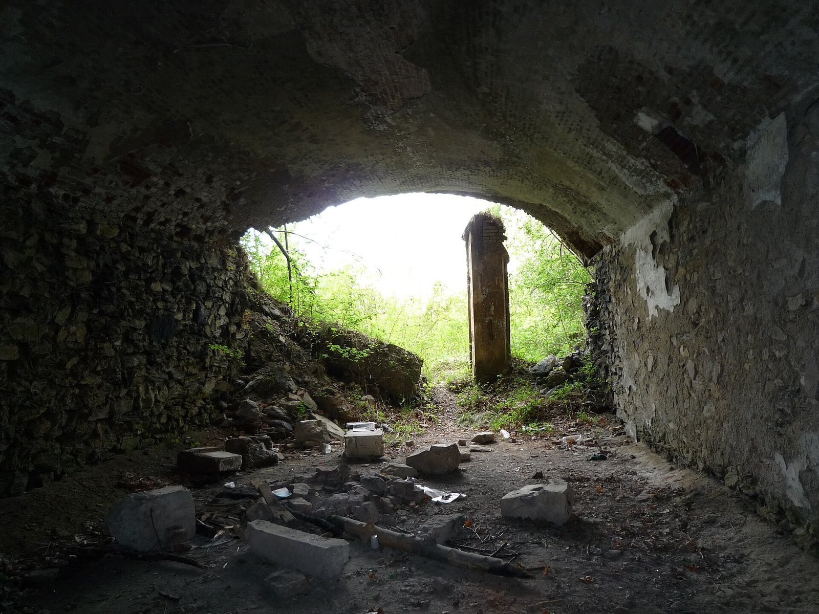
The barracks and the fort overall are in very poor condition. The southeast façade of one casemate is destroyed, and a large crater occupies the powder-magazine area following an explosion dated to 1944. In 2020, squatters had occupied the fort; walls were marked with graffiti and rubbish lay on the ground.