Shayzar Castle: A Syrian Fortress and Medieval Stronghold
Site at a Glance
- Popularity
- Medium
- Country
- Syria
- Primary era
- Medieval
- Eras represented
- Classical, Medieval, Modern
- Civilizations
- Mamluk, Ottoman, Seleucid
- Site type
- Military
- Remains
- Castle
On this page12 sections
History
Shayzar Castle is a fortress at Shaizar in Hama Governorate, northwestern Syria. Its origins date to the late fourth century BCE, under the Seleucid dynasty, a Hellenistic ruling house that governed parts of the Near East after Alexander the Great’s empire was divided. The castle later served as a military stronghold and administrative center. Its position also made it a gateway into Syria for people approaching from Antioch.
Seleucid, Roman, and Byzantine periods
In the Seleucid era, the site was called Larissa; the older name Shayzar was later restored. The fortress subsequently came under Roman and then Byzantine rule. In 638, Arab forces led by Abu Ubaida ibn al-Jarrah captured it from the Byzantines. Byzantine attempts to take it back did not result in lasting control.
Banu Munqidh rule and earthquakes
In 1025, Salih al-Mirdasi, a ruler of the Banu Mirdas family in Aleppo, granted the Banu Munqidh princes authority over territory near Shayzar, although the fortress itself remained Byzantine-controlled. In 1081, Ali ibn Muqallad of the Banu Munqidh seized it and established the family’s emirate in central Syria. During the Crusades, a series of medieval campaigns in the eastern Mediterranean, Shayzar’s rulers fought Western European crusaders, then commonly called Franks, at Apamea.
The Banu Munqidh ruled Shayzar and its surroundings until an earthquake in 1157 destroyed the dynasty. Usama ibn Munqidh survived because he was in Damascus at the time. Nur al-Din Zengi then rebuilt the castle and appointed the official Majd al-Din ibn al-Daya to govern it. Another earthquake destroyed the fortress in 1170.
Mamluk and Ottoman periods
In 1260, al-Malik al-Aziz, the sultan of Aleppo, took the fortress. It survived the Mongol invasion of the Levant, and in 1261 the Mamluk sultan al-Zahir Baybars rebuilt and strengthened it. The Mamluks were a military ruling elite that governed Egypt and Syria. In 1280, Sultan Qalawun assigned the castle to Emir Sunqur al-Ashqar for one year as an iqta, a grant of rights to land revenue that did not necessarily convey ownership.
Under Ottoman rule, the castle gradually lost its military importance. By the late Ottoman period, it had become a residential village. Residents were evacuated during the first half of the twentieth century, leaving the castle in ruins.
Remains
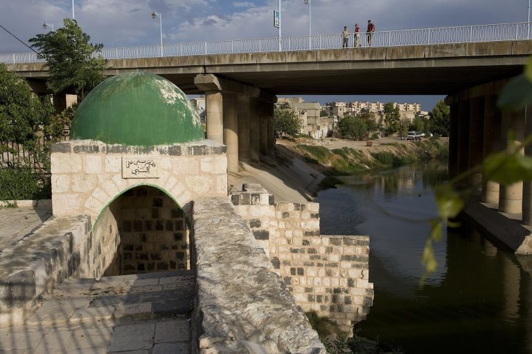
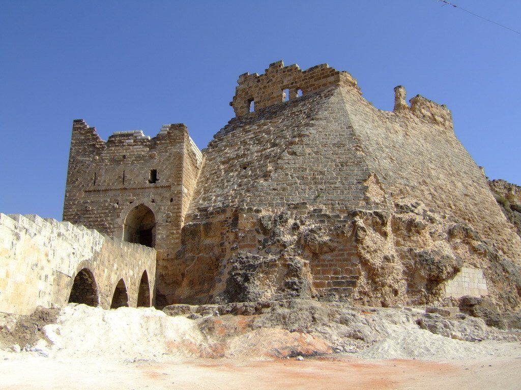
The castle occupies an elongated rocky outcrop beside the Orontes River, about 450 metres long and 50 metres wide. Its overall plan remains visible among the ruins. The river forms a natural moat along the northern and eastern sides, while a ditch cut into the western side separates the ridge from the adjoining ground. A steep western escarpment rises more than 50 metres above that ground. Limestone walls rest on the bedrock and rise particularly high along the cliff. Above the gateway, a sloping, pyramid-shaped mass of masonry supports defensive towers and the upper walls.
Northern gateway and passage
Approach and entrance
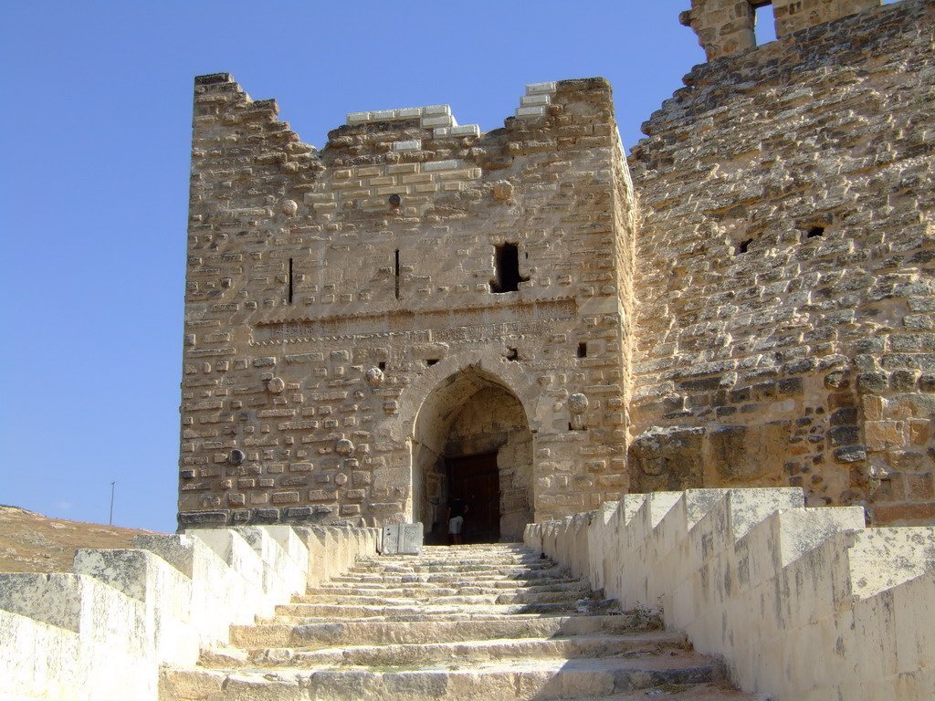
A stone stairway crosses the moat on two tiers of arches to reach the northern entrance. The doorway has a straight lintel beneath a pointed arch, whose two curved sides meet at a peak. An Arabic inscription above it names Qalawun al-Salihi. Two narrow arrow slits, openings for shooting arrows, and the remains of a balcony are set above the inscription. Large limestone blocks form the sloping masonry around the entrance, which rests on the cliff base and supports the walls above.
Passage and guard chambers
Beyond the doorway, a passage with an arched ceiling runs into the castle. Guard chambers flank it, and stairs lead to the upper floor of the towers protecting the gateway. The passage continues through the fortress to the southern tower known as Rooster’s Comb Tower.
Defensive towers
Western tower
The western tower overlooks the Orontes from the west and rises two storeys. Its upper floor has arrow slits, while part of the interior has collapsed. Large limestone blocks form the masonry courses, and columns within the construction tie the walls together horizontally.
Rooster’s Comb Tower
Built in two stages, Rooster’s Comb Tower is an example of Islamic military architecture, the defensive building tradition developed in Muslim-ruled societies. Its entrance is on the north side and faces east; a stairway leads to the upper levels. Massive square supports carry the vaulted ceilings. A large central hall opens onto arrow slits, and the second storey has a balcony for archers on its western face. The tower’s southern wall overlooks the excavated moat to the south.
Later buildings and surviving fabric
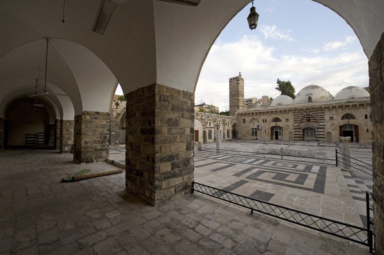
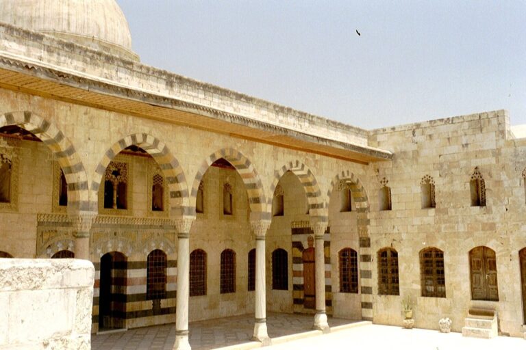
Buildings from the late Ottoman period and the beginning of the twentieth century stand among surviving medieval walls and vaulted structures. Other archaeological remains are present within the castle.