Luni sul Mignone: A Bronze Age and Medieval Settlement in Italy
Site at a Glance
- Popularity
- Medium
- Country
- Italy
- Primary era
- Bronze Age
- Eras represented
- Bronze Age, Iron Age, Classical, Medieval
- Civilizations
- Etruscan
- Site type
- City
On this page12 sections
History
Luni sul Mignone is an archaeological settlement in the territory of Blera, Italy, with evidence of Neolithic activity and an extensive Bronze Age occupation. Its Bronze Age settlement lasted nearly a millennium, from the beginning of the Middle Bronze Age to the Final Bronze Age, and pottery from the site indicates contact with communities in the Aegean and eastern Mediterranean.
Neolithic and Bronze Age occupation
During the Neolithic, habitation was limited to a marginal part of the defended area. Pottery assigned to the Norchia type, an archaeological classification for pottery associated with Norchia, points to another occupation that has been tentatively viewed as a precursor to the much longer Bronze Age settlement.
During the Bronze Age, the settlement grew and became more consolidated. Its development ended in the Final Bronze Age, during a period associated with the rise of early Iron Age states centered on Cerveteri and Tarquinia. Mycenaean pottery fragments indicate links with communities in the Aegean and eastern Mediterranean.
Iron Age, Etruscan, and Roman periods
Although settlement growth had ended, activity continued into the Iron Age, when dwellings at the eastern end of the plateau were enlarged. In the fourth century BC, during Rome’s campaign to conquer Tarquinia, the hill was fortified and probably housed a military garrison. The site was later abandoned in the late Etruscan period. Under Roman rule, it formed part of several large estates.
Medieval settlement
Luni regained importance in the Middle Ages, when a castle and dwellings were established and religious activity continued. The name Luni is considered medieval and appears in numerous documents from that period.
Archaeological investigations
Excavations took place in the 1950s and 1960s. The Swedish Institute of Classical Studies in Rome carried out investigations in the early 1960s, with the direct involvement of Sweden’s King Gustav VI Adolf, who had a strong interest in archaeology.
Remains
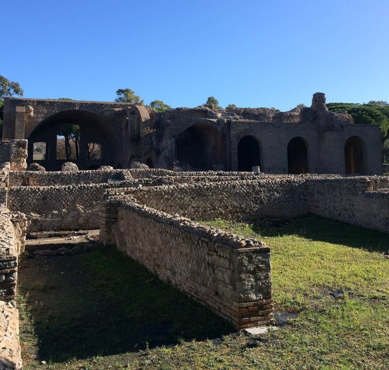
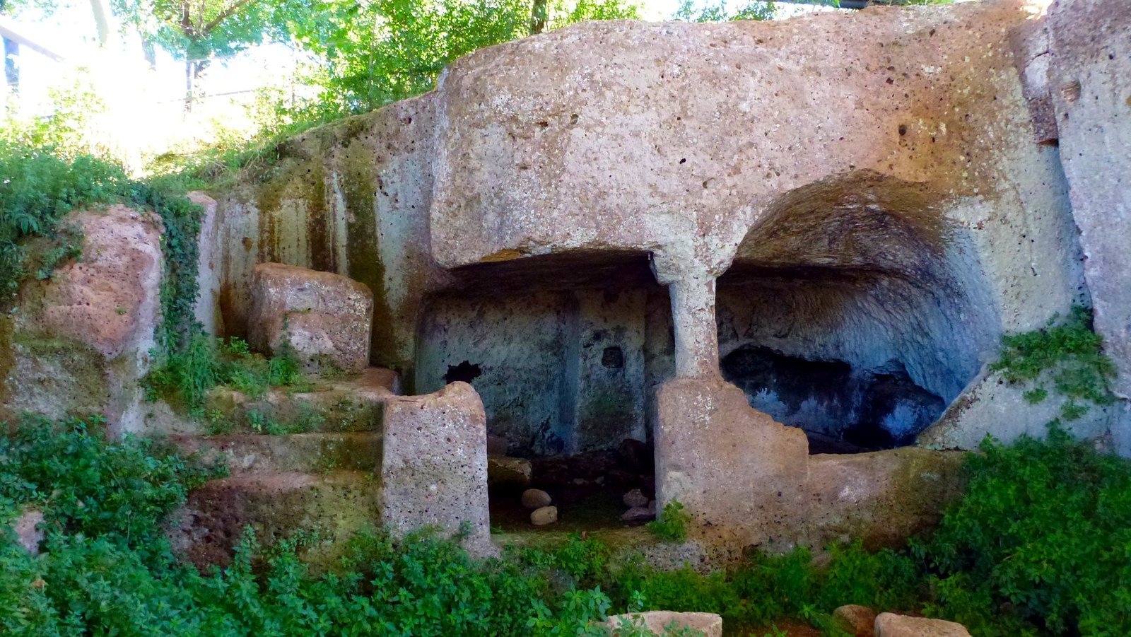
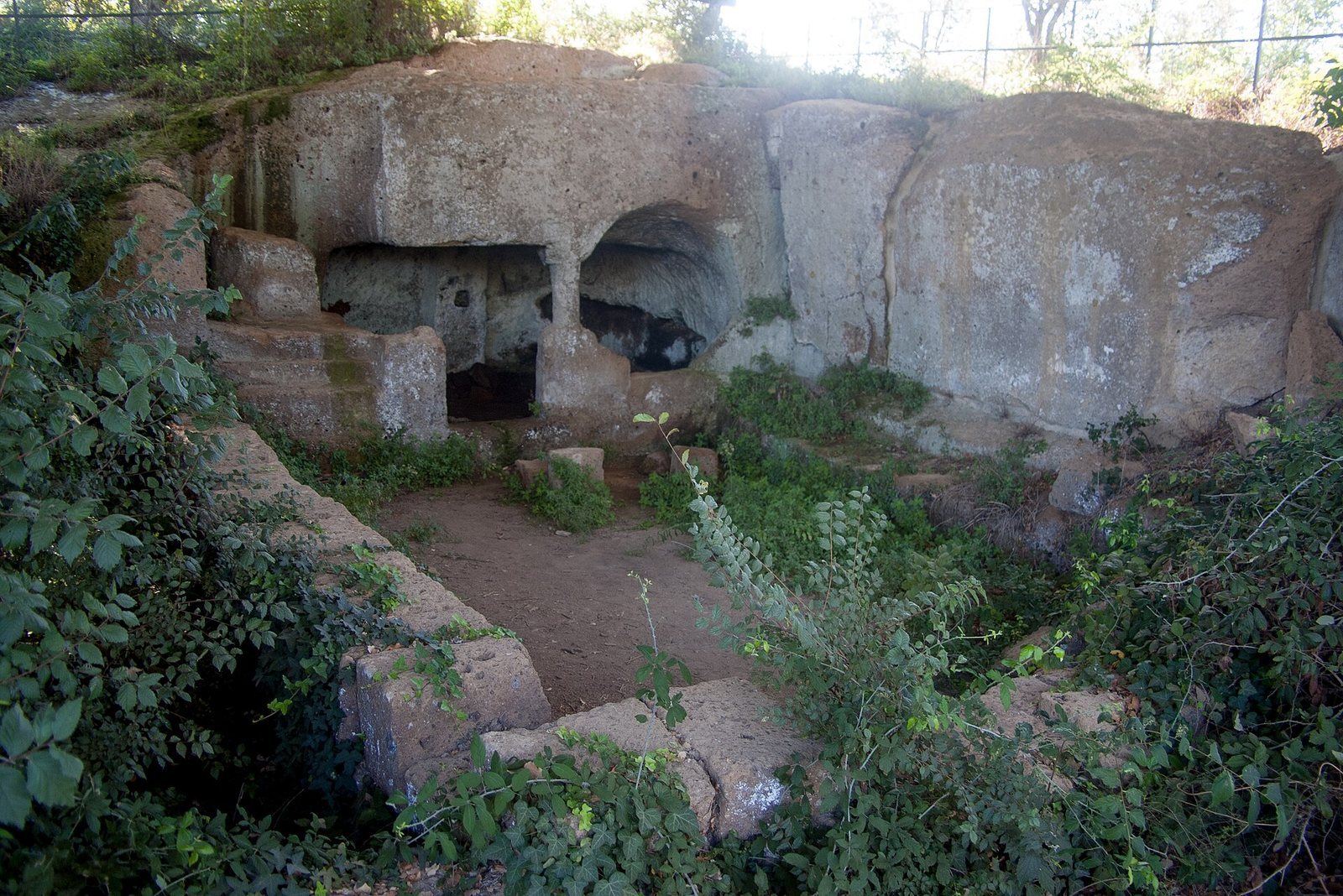
The defended area covers approximately 7 to 8 hectares when the smaller Fornicchio hill is included. It consists of Pian di Luni, Fornicchio, and the saddle and terrace between them. The heights of tuff, a rock formed from compacted volcanic ash, lie between the Vesca stream and the Mignone River to the south, which meet near Luni. The Canino ditch bounds the area to the north. The waterways and the terrain provided natural protection, routes toward the sea, and views across the surrounding land. Although a settlement with two centers has been proposed, archaeologists favor an interpretation of one settlement enclosed by an almost continuous edge.
Bronze Age and Iron Age structures
Houses on Pian di Luni
Pian di Luni is a level plateau shaped by erosion from broader uplands. Archaeologists have also called it the acropolis, meaning an elevated, often fortified center of an ancient settlement. Near its center are visible foundations of houses associated with the Apennine culture, a Bronze Age culture of Italy. The long, rectangular huts had gabled roofs covered with foliage, and their floors were partly cut into the tuff. Each could accommodate several family groups. Long, deep defensive ditches bounded the plateau.
Casa del Capo
At the eastern end of the plateau, remains of Bronze Age dwellings include structures enlarged during the Iron Age. The feature known as Casa del Capo, or Chief’s House, is a deep, rectangular pit cut several metres into the tuff. It formed part of a large Villanovan hut, belonging to an early Iron Age culture linked with the beginnings of Etruscan civilization. The pit probably served as communal food storage, with supplies managed by the community leader. Its arrangement has been interpreted as evidence of developed social organization in the ninth and eighth centuries BC.
Etruscan defenses
The Etruscan fortifications were built from rectangular blocks of tuff.
Medieval remains
On Pian di Luni, a small Christian church stood within a monumental structure dating to the Final Bronze Age. Pit graves surrounded the church.
Altered terrain and archaeological traces
A railway line between Capranica and Civitavecchia cut across the isthmus that connected Luni with Monte Fortino, changing the shape of the land. Earlier quarrying had also damaged the summit of Fornicchio. A trench excavated lengthwise across Pian di Luni exposed an abraded surface of hard tuff and the loss of much of the archaeological deposits and structures. Numerous postholes, traces of holes that held upright posts, were found there, as well as on the summit of Fornicchio.