El-Lahun: A Middle Kingdom Settlement and Pyramid Complex in Egypt
Site at a Glance
- Popularity
- High
- Country
- Egypt
- Primary era
- Bronze Age
- Eras represented
- Bronze Age
- Civilizations
- Egyptian
- Site type
- City
On this page22 sections
History
El-Lahun is a Middle Kingdom settlement and royal pyramid complex in Egypt, founded under Pharaoh Senusret II of the Twelfth Dynasty. The town developed around his pyramid and is believed to have housed its builders, people who later served the king’s mortuary cult, and administrators and temple staff. A mortuary cult was the continuing religious observance for a deceased ruler.
Foundation and changing occupation
The settlement’s ancient name meant “Mouth” or “Opening of the Canal.” During Ptolemaic rule, the area was known as Ptolemais Hormos, or “Ptolemy’s harbor.” Ptolemaic Egypt was ruled by a dynasty established after Alexander the Great’s conquest of the country. The name Kahun, also used for the settlement, was coined by the archaeologist William Flinders Petrie.
El-Lahun was occupied from the Middle Kingdom through the late Thirteenth Dynasty, which followed the Twelfth. It was occupied again in the New Kingdom, when extensive land-reclamation work took place in the area. The surrounding burial grounds also include Roman-period graves, from a period of Egyptian history that followed Ptolemaic rule.
Residents, records, and chronology
Stelae and papyri refer to some workers as Semitic slaves. Semitic describes a language family, not a precise ethnic identity, and these workers may have been war captives or immigrants. Building methods and burial customs have also led to the suggestion that people described broadly as Asian lived in the town’s lower district, possibly under close supervision. In this context, Asian referred broadly to peoples from lands east of Egypt.
The written records help reveal the settlement’s administration and support efforts to establish Middle Kingdom chronology. Petrie found a papyrus with the date “Month 8, Day 16 of Year 7.” This Sothic date relates the Egyptian calendar to the rising of Sirius, a relationship used in chronological calculations. The date has helped place El-Lahun’s establishment within a fifty-year span of the Twelfth Dynasty and organize Middle Kingdom chronology around Year 7 of Senusret III’s reign.
Archaeological investigations
Petrie began excavating the settlement in the late nineteenth century. He mapped Kahun, located the pyramid entrance, recovered everyday objects, and later returned to continue his work. In 1899, Ludwig Borchardt recorded the town’s architecture and uncovered large quantities of temple-related papyri. Nicholas B. Millet worked at El-Lahun with the University of Toronto from 1989 to 1997; later investigations have involved Zoltan Horvath and a Hungarian team. Egyptian archaeologists led by Abdel Rahman el-Aydi also investigated the area’s cemeteries and burial finds.
Remains
The pyramid complex
Senusret II’s pyramid
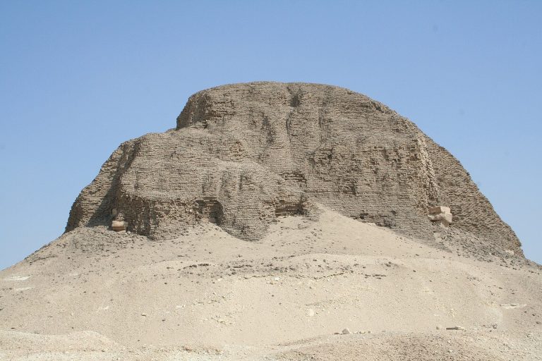
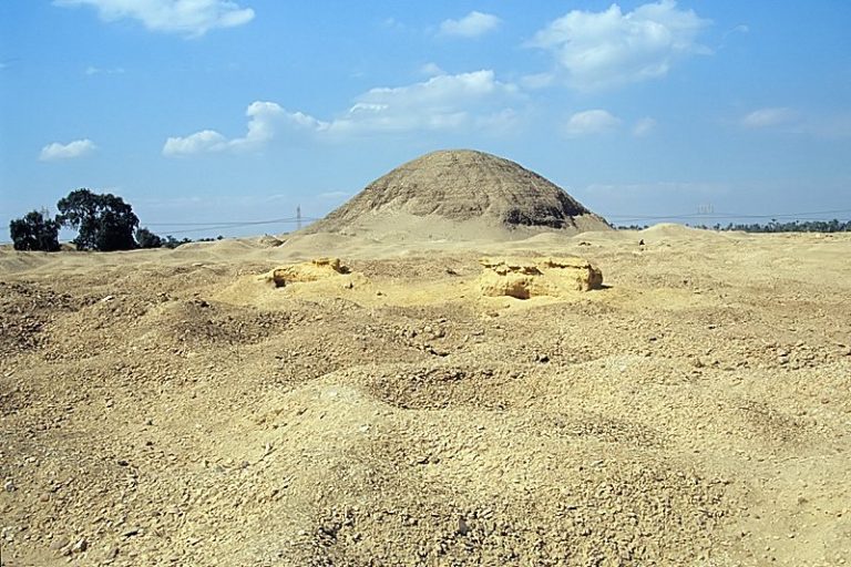
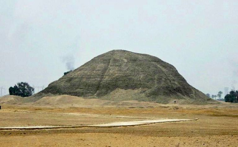
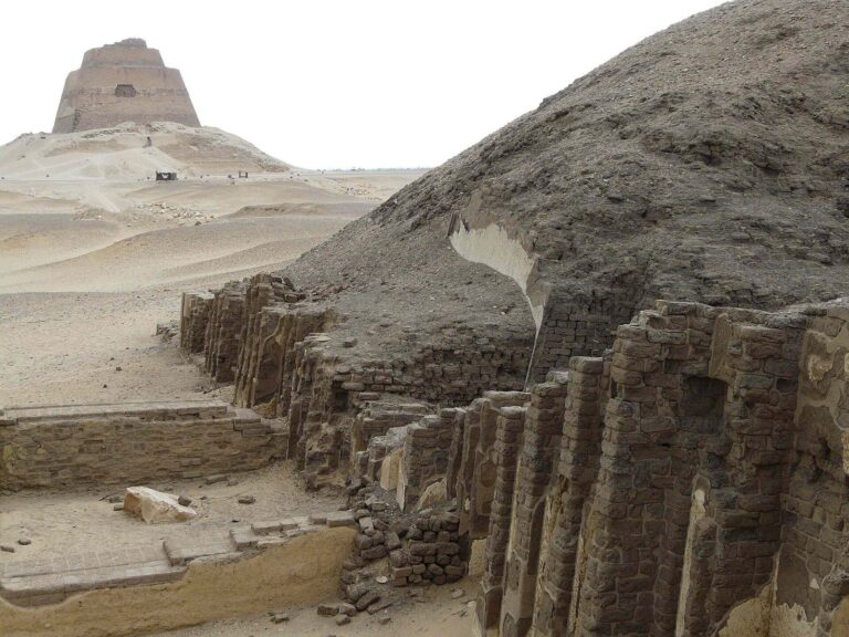
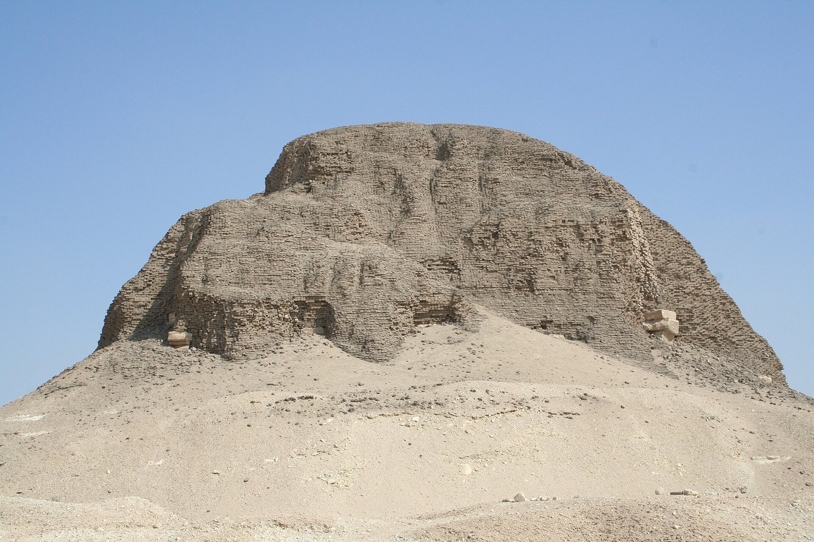
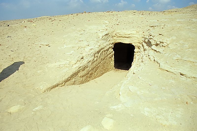
The pyramid stands west of the town, on a rocky outcrop raised by an artificial terrace cut into sloping ground. Its mudbrick construction incorporates a core of stone walls, with mudbrick packed between them. The entrance is on the south side, unusually far from the pyramid itself. A pyramid temple stood to the east.
Associated tombs
Mastabas, ancient Egyptian tombs with low, usually rectangular superstructures above underground burial chambers, lie north of the pyramid. Their narrow shafts lead down to burial chambers. Eight nearby stone blocks may also have served as mastabas. A smaller pyramid to the north is attributed to Queen Atmuneferu on the basis of an inscription. Another tomb, associated with Princess Sithathor-yunit, Senusret II’s daughter, contained a crown, pectorals, bracelets, necklaces, and cowrie shells. A pectoral linked to the princess dates to her father’s reign.
Valley temple
The Valley Temple lies slightly southwest of the town, beneath cultivated land. It is believed to have served the king’s mortuary cult and would originally have been connected to the pyramid.
The settlement
Town plan
The town occupied desert ground about a kilometre from the pyramid and near the edge of cultivated land. It was rectangular, with streets arranged at right angles. Mudbrick walls enclosed three sides. An internal wall running north to south was added after the eastern part of the town was first built. As tall and strong as the outer walls, it divided roughly one-third of the settlement from the rest.
Housing and internal divisions
Closely spaced rows of single-room houses occupied the western section. The eastern section had a range of homes: large mansions stood in its northern part, with four along the north wall and three across the street. Medium-sized and smaller houses lay to their east and south. The mansions covered about 2,500 to 2,700 square metres; medium houses measured about 100 to 168 square metres, while small houses covered no more than about 50 square metres.
Internal divisions in the mansions may have separated family living areas, staff quarters, and administrative workspaces. Granaries on one side of a mansion could hold enough grain for the whole town. Some villas were built with layers of mudbrick separated by matting.
Administrative buildings
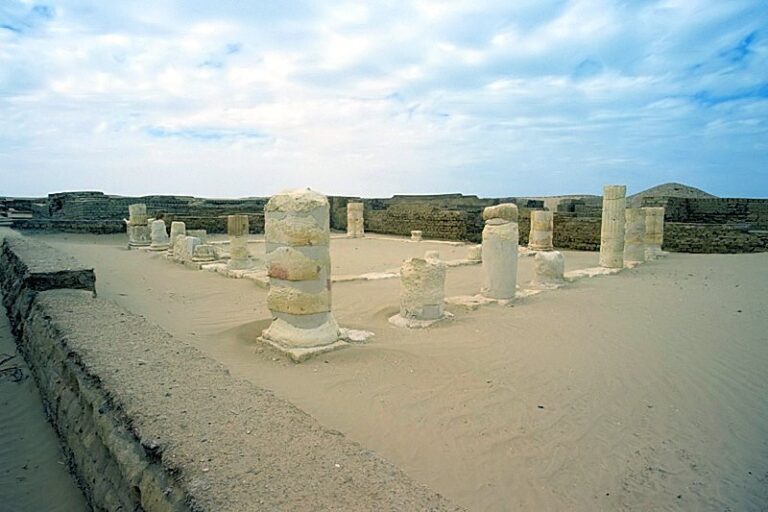
A prominent mudbrick building stood on a raised platform at the western end of the main street, beside the northern mansions. Similar in size to the other mansions, it rested on a platform cut down from existing stone. Seals and their impressions suggest it may have been the mayor’s residence. Column bases have prompted an alternative possibility, that it housed the pharaoh during visits to oversee construction. The building appears to have fallen out of use before the town was abandoned.
Construction and survival
Excavations showed that builders at El-Lahun knew how to construct a true vault, a masonry structure spanning an interior space. Very little of the village remains standing today.
Cemeteries and burials
Burial grounds
Four cemeteries lie between the pyramid and the town. Their burials are mostly Middle Kingdom in date, though some are Roman. They include elite burials and simpler pit graves. At Bashkatib, excavated grave forms include open graves, shallow shafts, stairway tombs, and deep shafts.
The mummy cache
In 2009, Egyptian archaeologists led by Abdel Rahman el-Aydi uncovered a cache in the sand-covered desert rock surrounding the pyramid. It held dozens of mummies, about thirty of them very well preserved, in brightly painted wooden coffins decorated in green, red, and white with images of the deceased. The mummies span the Twelfth to Eighteenth Dynasties. Some coffins carry prayers; later examples include spells from the Book of the Dead, a collection intended to help the dead in the afterlife, and images of gods such as Horus. Some burials retained nearly all their funerary equipment.
Tombs announced in 2010
In 2010, Egypt’s Supreme Council for Antiquities announced the discovery of 57 tombs in the area. They included tombs assigned to the First and Second Dynasties, around 2750 BCE; twelve attributed to the Eighteenth Dynasty; and 31 dated to the Middle Kingdom, around 2030–1840 BCE. Many held painted wooden sarcophagi and mummies. Eighteenth-Dynasty mummies were wrapped in linen decorated with religious texts and images of gods. One of the oldest tombs was nearly intact, with funerary equipment and a mummy wrapped in linen strips inside a wooden sarcophagus. The burial ground, once enclosed by white limestone slabs, may be thousands of years older than first thought.
Written records and other finds
Papyri and seals
Papyri recovered from several parts of El-Lahun include about 1,000 fragments known as the Kahun papyri, concerning legal, medical, religious, and astronomical matters. Other texts cover agricultural and administrative business, temple procedures, and daily activities. Census lists name soldiers, servants, scribes, and members of households. Temple records include a daybook copying correspondence to and from the mayor, information about the temple’s Anubis cult, and exchanges between the mayor and the temple accountant about inventories and required supplies.
Seals were found in town buildings and in the pyramid and its precincts. Some sealed boxes, vases, or bags to identify their contents, owners, or intended recipients. Inscriptions bear personal names and titles, including high priest, citizen, and inspector.
Household objects and burials beneath houses
Finds from houses and the pyramid complex include copper and flint tools, local and foreign pottery, and cosmetic jars, most often containers for kohl, a dark eye cosmetic. Pottery forms include bowls, storage and water jars, plates, and other tableware. Copper tools came from the area thought to have housed western workmen.
Wooden boxes buried beneath many house floors held the remains of infants who had died at a few months of age. Some boxes contained two or three children, whose remains were later buried in the desert. One Twelfth-Dynasty burial box held a spouted jar, a lock of hair, a shell, a piece of wood, and beads.
Objects in the Petrie Museum
A limestone slab from Mastaba 4 bears the royal name of Senusret II inside a cartouche, an oval enclosure around a royal name, and an image of Nekhbet, a protective goddess. It is now in the Petrie Museum of Egyptian Archaeology. Other finds now held there include dried dates, peach and apricot remains from the Late Middle Kingdom, and an unopened Twelfth-Dynasty bag of white linen containing linen rolls. The bag was a foundation deposit, objects placed during a building’s construction, associated with a Heb Sed chapel at El-Lahun. A Heb Sed was a royal ritual connected with renewing a pharaoh’s kingship.