Šakališkiai Hillfort: An Archaeological Complex in Lithuania
Site at a Glance
- Popularity
- Very Low
- Country
- Lithuania
- Primary era
- Medieval
- Eras represented
- Classical, Medieval
- Civilizations
- Unclassified
- Site type
- Military
- Remains
- Fort
On this page4 sections
History
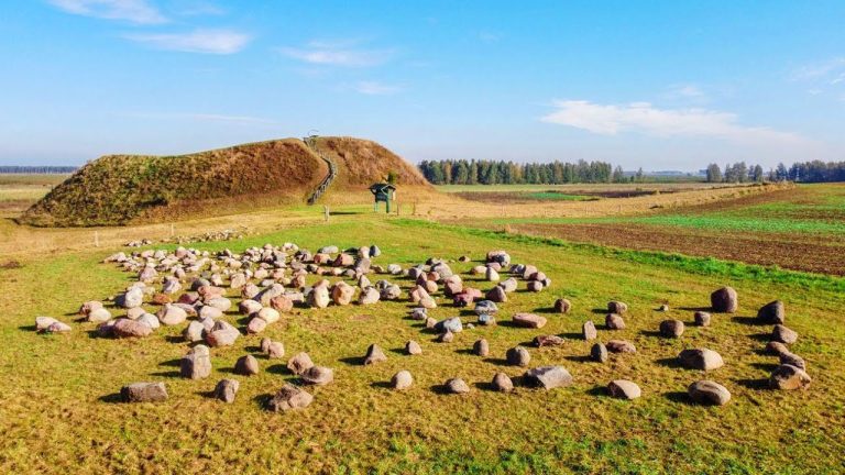
Šakališkiai hillfort, an elevated fortified site commonly enclosed by earthworks, and its foot settlement form an archaeological complex in Šakališkiai village, Lithuania. The complex dates from the first millennium to the 13th century.
The hillfort was already known locally when local-history researcher Juozapas Radziukynas described it in the early 20th century. In 1935, the State Archaeological Commission gathered information about the site and directed landowner Jonas Karalius to protect it.
The Institute of History of the Lithuanian Academy of Sciences surveyed the hillfort and settlement in 1954 and 1962. In 1972, the site received designation as a republic-level archaeological monument. The hillfort and settlement entered the national register as an archaeological complex in 1997, were declared a cultural monument in 1998, and became a state-protected monument in 2005.
Remains
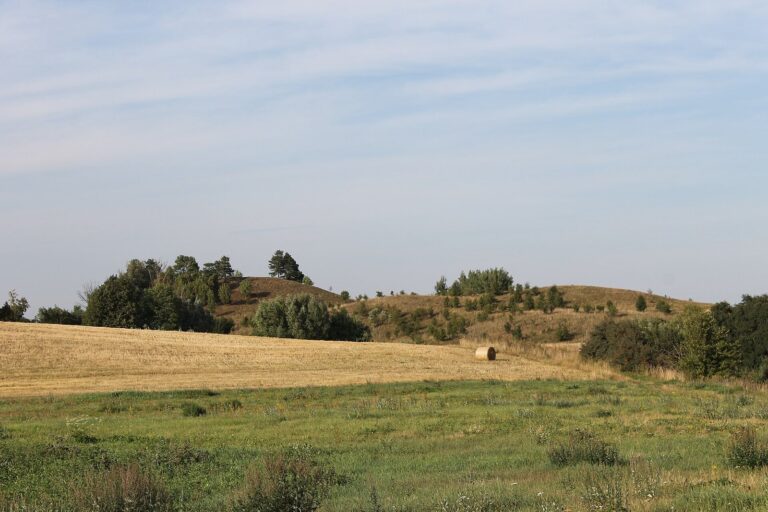
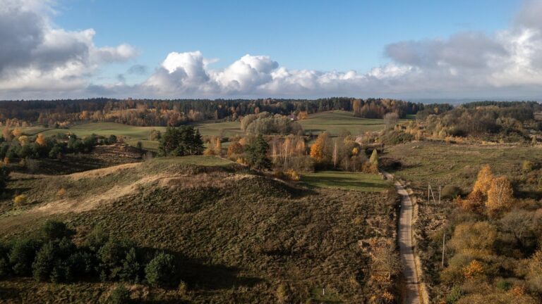
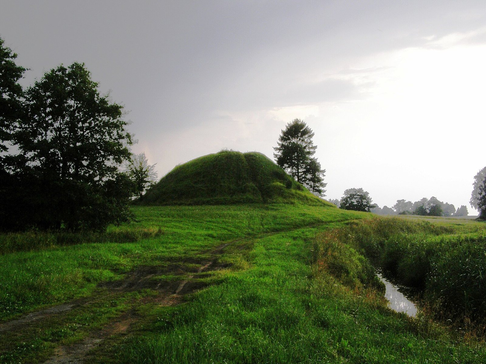
The complex covers 21,800 square metres. The hillfort and settlement lie on the right bank of the Yglė River, with the hillfort occupying a separate hill on the right bank of the Šlavanta River. The Šlavanta stream bounds the complex to the north, an unnamed stream marks its western edge, and forest borders it on the other sides. A field road follows the northern edge beside the stream and leads to village pastures.
Hillfort
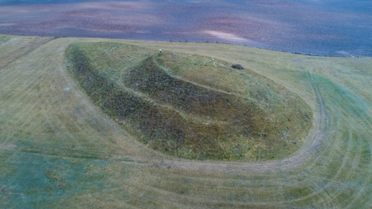
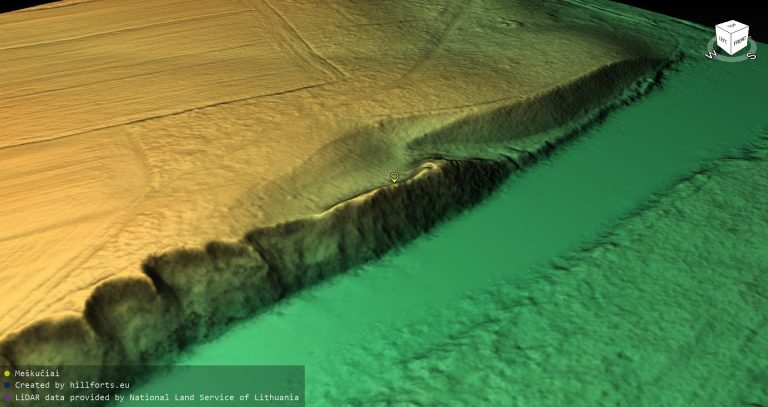
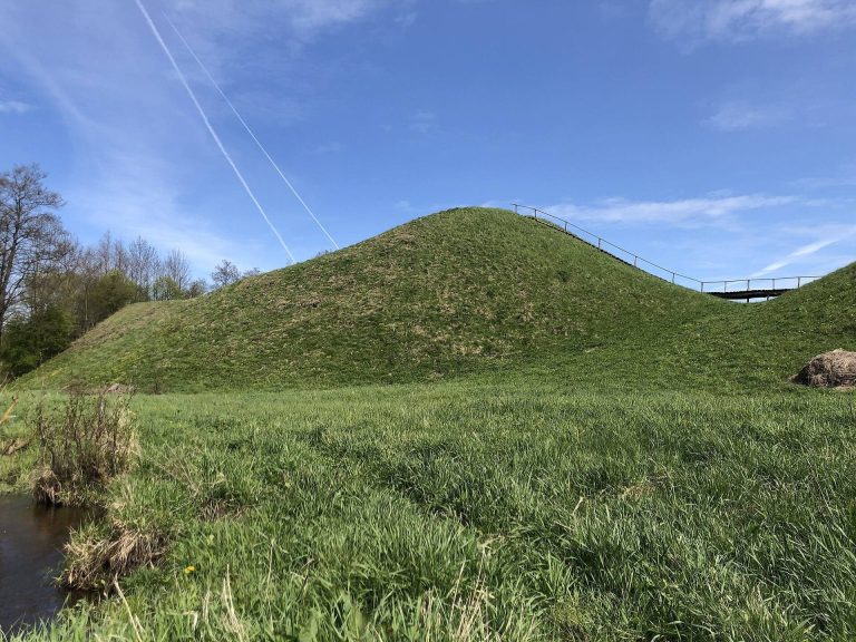
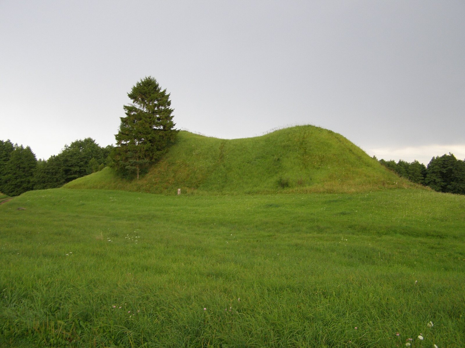
The hillfort is oval and saddle-shaped, measuring 80 metres along a northeast-to-southwest axis and up to 60 metres across. Its steep slopes rise to 10 metres. An elongated oval summit, 10 by 6 metres, is enclosed by a rampart 8 to 15 metres wide. The rampart stands up to 1 metre high along the sides and 2.5 to 3 metres at the ends. A cut passes through the southeastern rampart, while a surveying marker occupies the northeastern section. The uncultivated surface is grass-covered, and a spruce grows on the northern slope.
Foot settlement
The settlement extends across the eastern, southern, and southwestern foot of the hillfort, covering 1.5 hectares. Its grass-covered ground is mown and slopes gently away from the hillfort toward the west and south. Finds from the settlement include brushed, rough-surfaced, and smooth-finished pottery, as well as animal bones. These finds are held by the Lithuanian National Museum.