Wasserburg Castle Ruins: A Medieval Hilltop Residence in Germany
Site at a Glance
- Rating
- 2
- Popularity
- Very Low
- Country
- Germany
- Primary era
- Medieval
- Eras represented
- Medieval
- Civilizations
- Holy Roman Empire
- Site type
- Military
- Remains
- Castle
On this page6 sections
History
The Wasserburg Lords and Their Successors
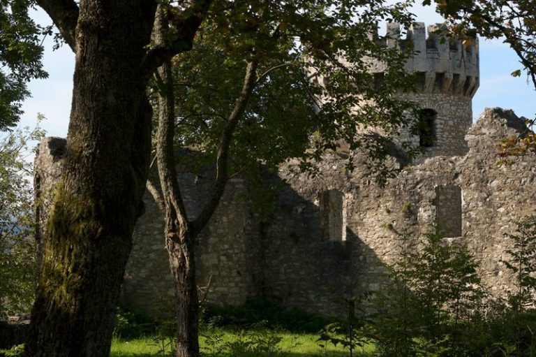
Wasserburg Castle Ruins near Eigeltingen in Germany preserve a hilltop castle built in the second half of the 12th century as a residence for ministerials, nobles who served secular or religious lords. The Lords of Wasserburg, who held it as ministerials of Reichenau Monastery, are recorded from 1174 to 1300. The monastery was a Benedictine house on an island in Lake Constance.
The Lords of Hewen held the castle from the second half of the 14th century. When the lordship of Hewen passed to the Counts of Lupfen in 1404, the counts became the castle’s owners. They granted it to Heinrich von Wildenfels in 1429, then to the Egg von Reischach family in 1431, and later to Veit von Asch, a nobleman who used armed force to rob merchants and travelers.
The Siege and Destruction of 1441
On 30 May 1441, Veit von Asch attacked merchants and seized goods valued at 120,000 gulden. That autumn, during the War of the Cities, troops of the Swabian League, a regional alliance in southwestern Germany, besieged Wasserburg. They had already besieged and destroyed Randegg Castle, Staufen Castle, and the town of Blumberg.
The attackers captured Wasserburg despite its defense by Claranna von Reischach, the castle’s lady, and eight men. Claranna and the remaining defenders surrendered after receiving assurances of safe passage, and the castle was then destroyed. It was never rebuilt, although it was still described as a fortified stronghold in 1472. A farmstead below the hill was built with stone from the castle and continued to be granted after its destruction.
Remains
Hilltop Layout and Defenses
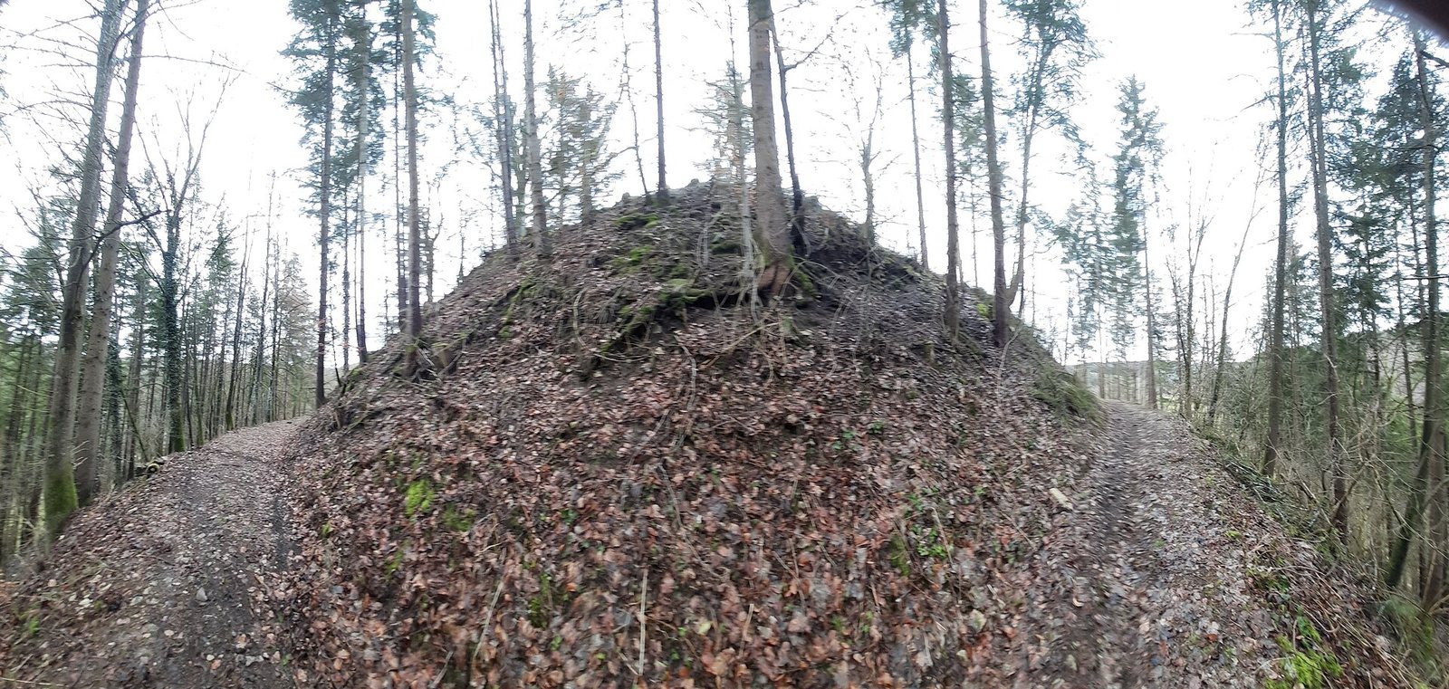
The former castle occupied an oval plateau about 36 by 18 metres on a small, natural conical hill roughly 630 metres above sea level. The plateau was probably shaped to make room for the buildings. The hill rises on the left side of Wasserburger Tal, about 1.5 kilometres southwest of Honstetten; Schenkenberg Chapel lies roughly 700 metres northwest. The Wasserburger Talbach flows through the valley. Its upper course begins south of Emmingen-Liptingen as the Zeilental-Bach, turns southeast, and takes the name Wasserburger Talbach after joining an intermittent stream near the valley’s beginning. It then flows southwest, joining other streams near Ehingen whose water reaches the Radolfzeller Aach at Singen.
A ring ditch, a trench surrounding the castle, encloses the hilltop area. It has filled with silt and now serves as a path. A ring wall strengthened the side facing the castle, while the ditch widens toward the farmstead into a neck ditch, a defensive trench across the narrower approach, beside a small rampart. Weak traces of the castle wall remain on the eastern side.
Stone Remains
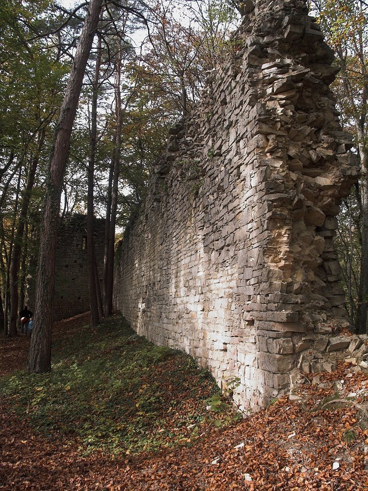
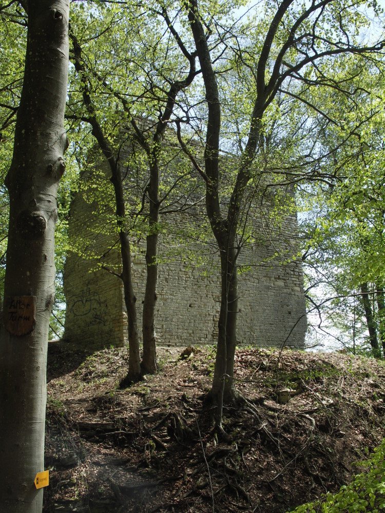
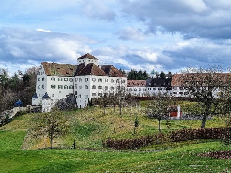
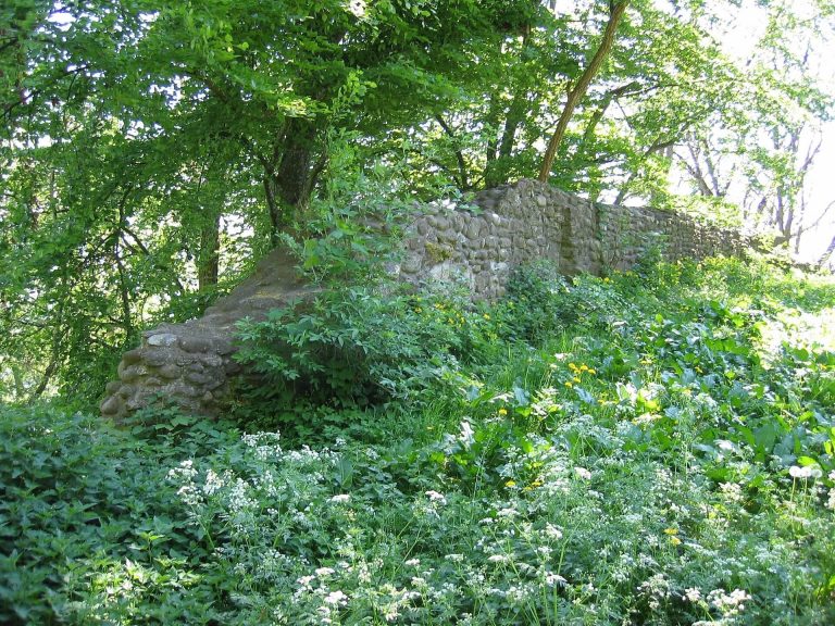
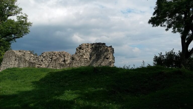
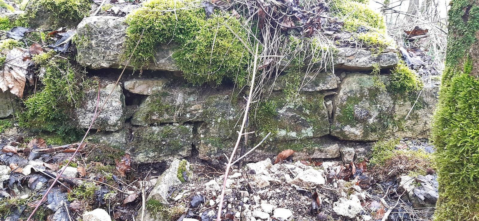
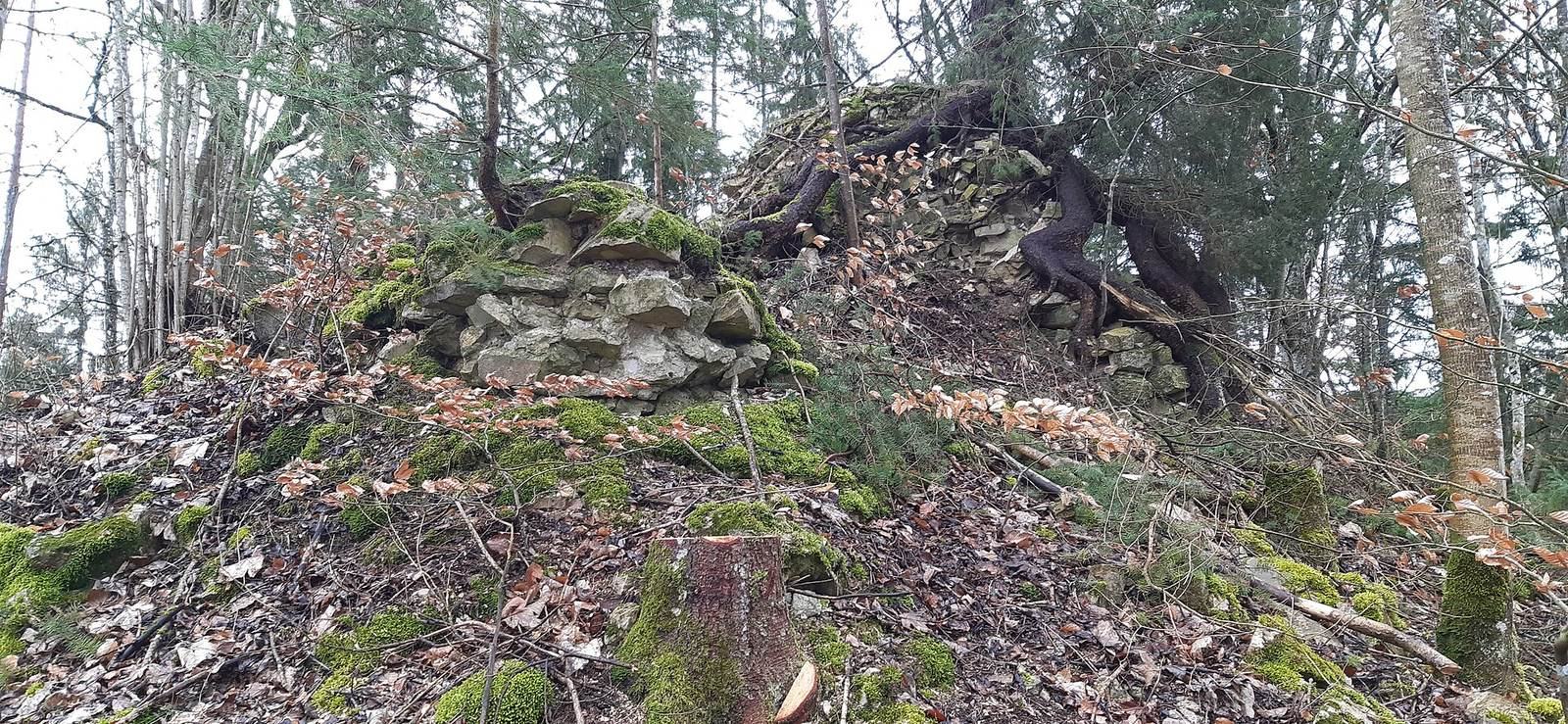
Stonework about 2.5 metres high is interpreted as the remains of the keep, the castle’s principal fortified tower. A corner of another building can also be seen. Surviving blocks with projecting, roughly worked faces are examples of bossed masonry. They indicate that the keep and wider complex belonged to the High Middle Ages, roughly the 11th to 13th centuries, and were well developed. The restored Wasserburgerhof stands below the castle hill.