Obelytė Hillfort and Settlement Complex in Lithuania
Site at a Glance
- Popularity
- Very Low
- Country
- Lithuania
- Primary era
- Medieval
- Eras represented
- Classical, Medieval
- Civilizations
- Unclassified
- Site type
- Military
- Remains
- Fort
On this page6 sections
History
Obelytė Hillfort is a fortified site on elevated ground at Obelytė in Alytus District, Lithuania. The hillfort and its settlement belonged to a wider complex that also included Kaukai Hillfort and its settlement. The complex was active from the beginning of the first millennium until the 11th century, when it was probably destroyed during a campaign by princes of Kievan Rus, a medieval polity centered on Kyiv, against the Yotvingians, a Baltic people of the region.
The hillfort was surveyed in 1954 by the Institute of History. From 1967 to 1969, archaeologists from Vilnius University investigated the defenses of the hillfort and outer enclosure under the direction of Lithuanian archaeologist Pranas Kulikauskas. On 19 May 1998, the Government of Lithuania declared the site a cultural monument. Its protected territory covers 36,600 square metres.
Remains
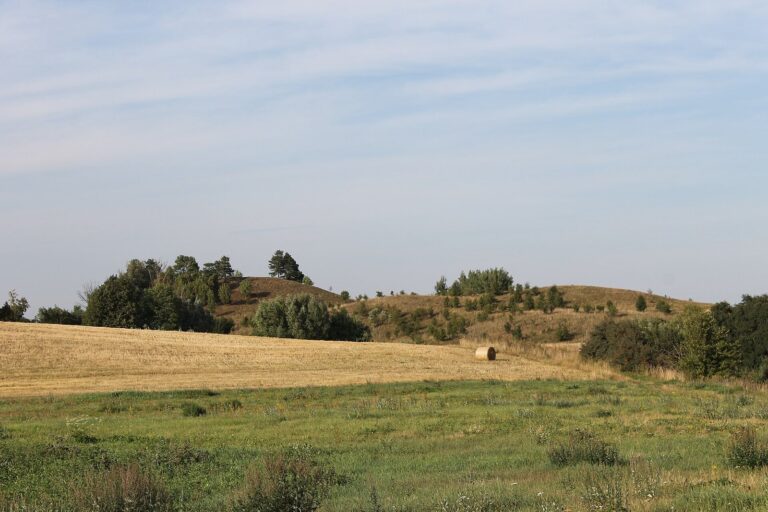
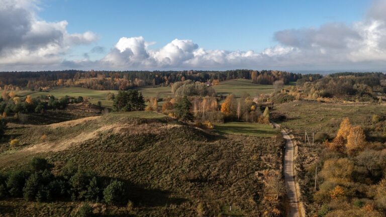
The remains include a hillfort on raised ground beside the Peršėkė River, an outer enclosure to its north and northeast, and settlement areas around the hillforts. The site lies near Kaukai I village on the river’s right bank.
Hillfort and outer enclosure
Hillfort
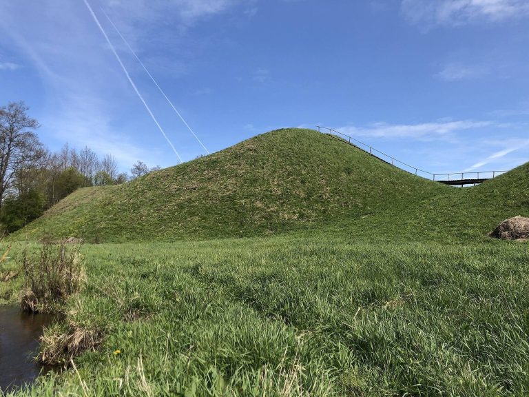
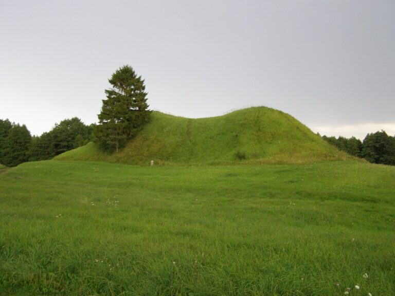
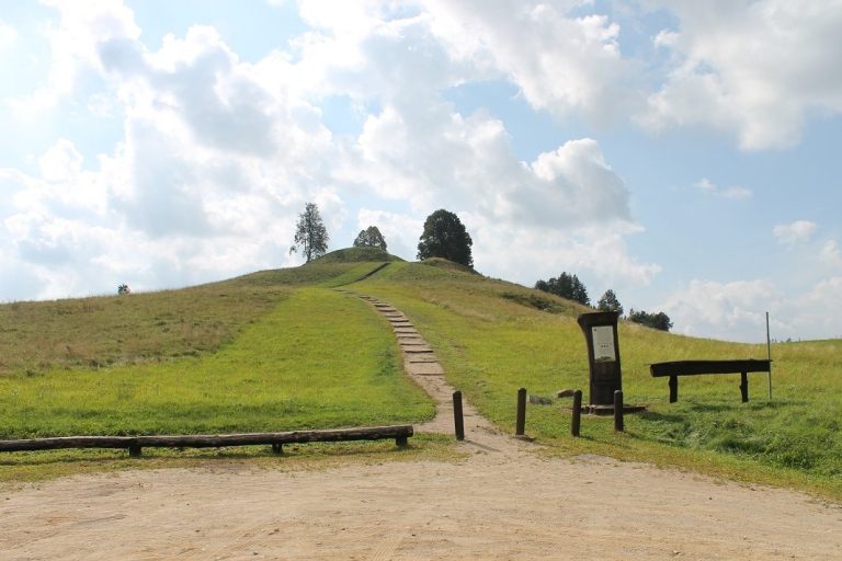
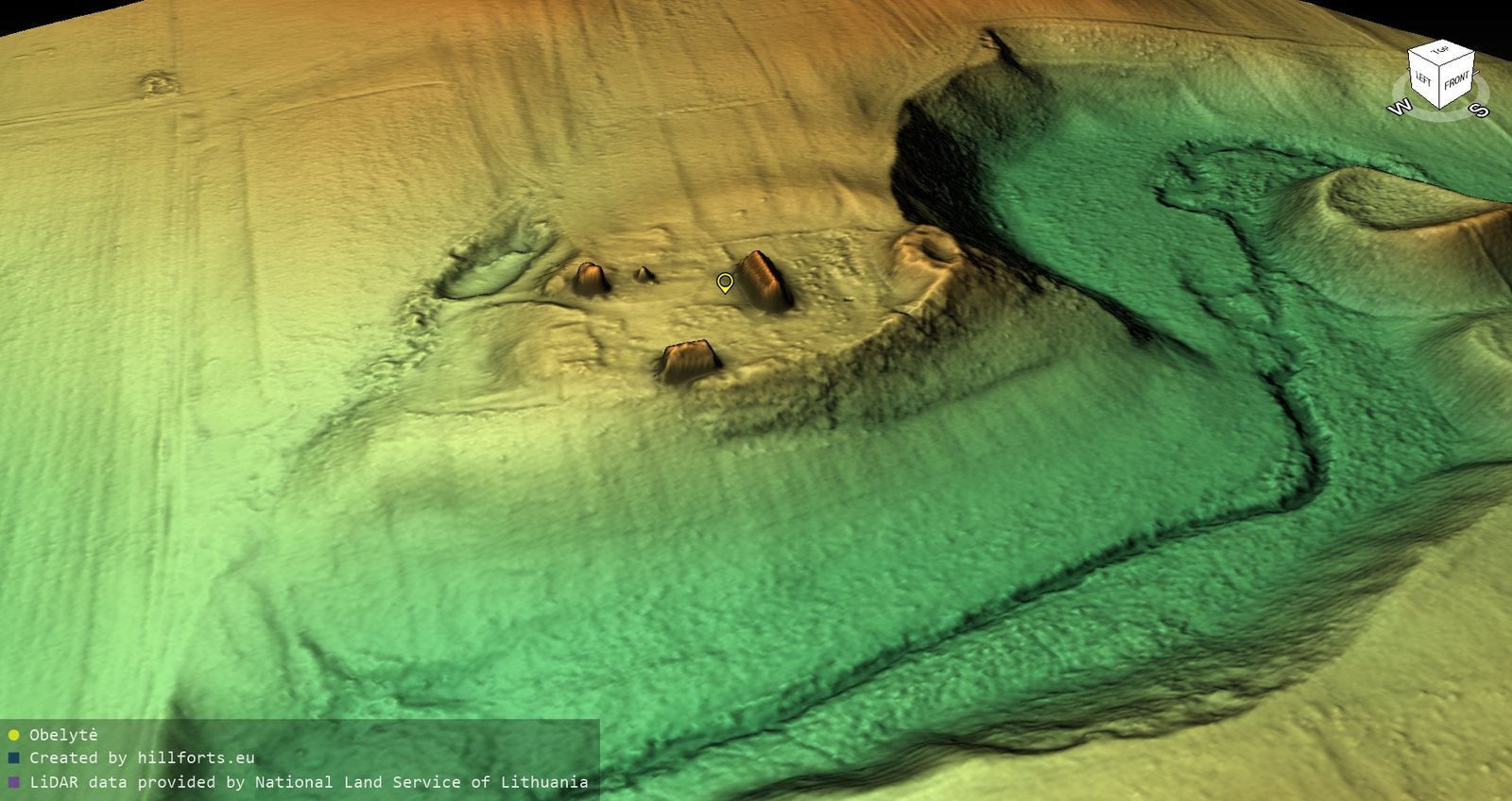
The hillfort occupies a corner of elevated ground. River erosion has reduced its former north–south elongated platform to a fragment measuring 2 by 5 metres. A rampart at the platform’s northern edge is 25 metres long, 2 metres high, and 22 metres wide; it has been extensively dug into and levelled. Excavation examined 22 square metres of the rampart, which was built from pieces of burnt clay and contained two or three charcoal layers. The steep slopes rise 9 to 10 metres, and deciduous trees cover the hillfort.
Outer enclosure
The enclosure occupies raised ground north and northeast of the hillfort. Its four-sided platform extends east to west, measuring 70 metres long and up to 65 metres wide. A rampart more than 80 metres long, 1 metre high, and 22 metres wide runs along its western, northern, and eastern sides. Plowing has spread the rampart. A homestead and orchard occupy the enclosure’s northwest part, while the remainder is fallow. Excavation examined 32 square metres at the eastern end of the rampart. Brushed and rough-surfaced pottery was found at the enclosure, and finds from the excavations are held by the Lithuanian National Museum.
Foothill settlements
The foothill settlements associated with the two hillforts cover 7.5 hectares in total. Areas containing soil traces of past activity extend across 5.5 hectares south to southeast of Kaukai Hillfort, one hectare east of it on the Peršėkė’s right bank, and more than one hectare southwest and east of Obelytė Hillfort. Rough-surfaced and smooth pottery was found in these settlement areas.