Cashlaungar: A Stone Ringfort in County Clare
Site at a Glance
- Popularity
- Very Low
- Country
- Ireland
- Primary era
- Unclassified
- Eras represented
- Unclassified
- Civilizations
- Unclassified
- Site type
- Military
- Remains
- Fortified Town
On this page10 sections
History
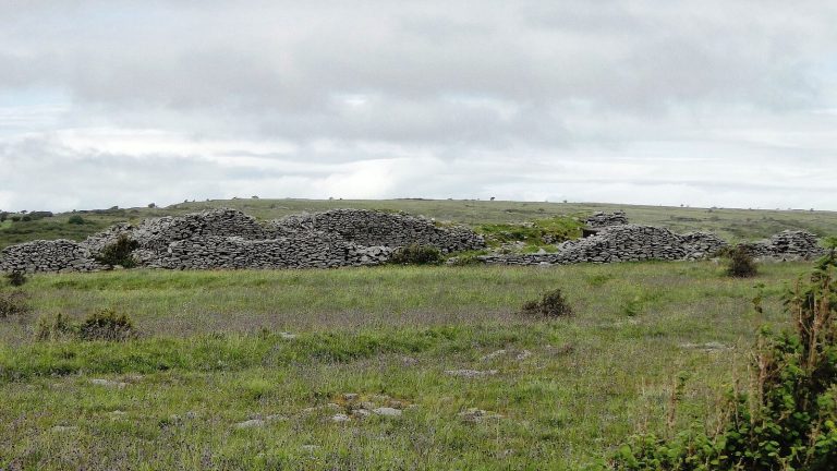
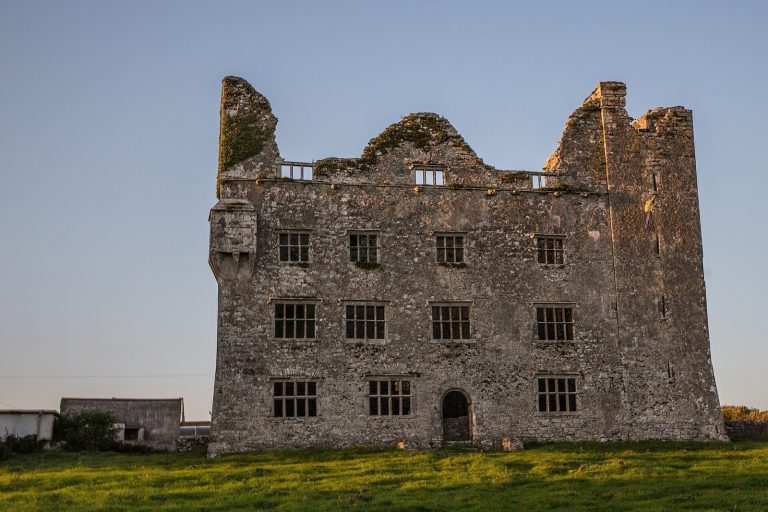
Cashlaungar is a stone-built ringfort, or cashel, in Tullycommon, County Clare, Ireland. A ringfort was an enclosed settlement or fortification. The site’s surrounding area appears in accounts of medieval rule and later military activity in Thomond.
Medieval Tullycommon
Tullycommon is thought to be the place called Tuluauch-comyn, held in 1298 by King Torlough O’Brien. The O’Briens were a medieval ruling dynasty associated with Thomond, a historic Irish kingdom and region. In 1317, an army led by Diarmait O’Brien appears to have crossed Tullycommon on its way to Corcomroe Abbey, following tracks between Leana and Crughwill.
Raid of 1599
During a major raid into Thomond in 1599, troops of Hugh Roe O’Donnell, an Irish lord and military leader, plundered Tullycommon.
Antiquarian study and protection
Irish antiquarian and archaeologist Thomas Johnson Westropp visited Cashlaungar in the 1910s. The site is listed as an Irish National Monument under the name Cashlaungarr, number 270.
Remains
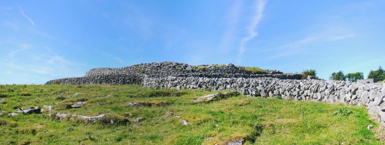
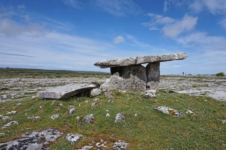
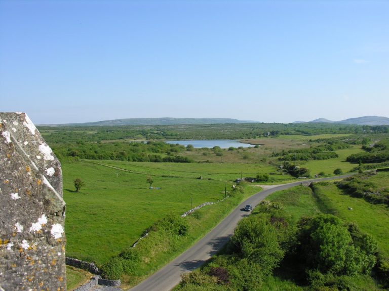
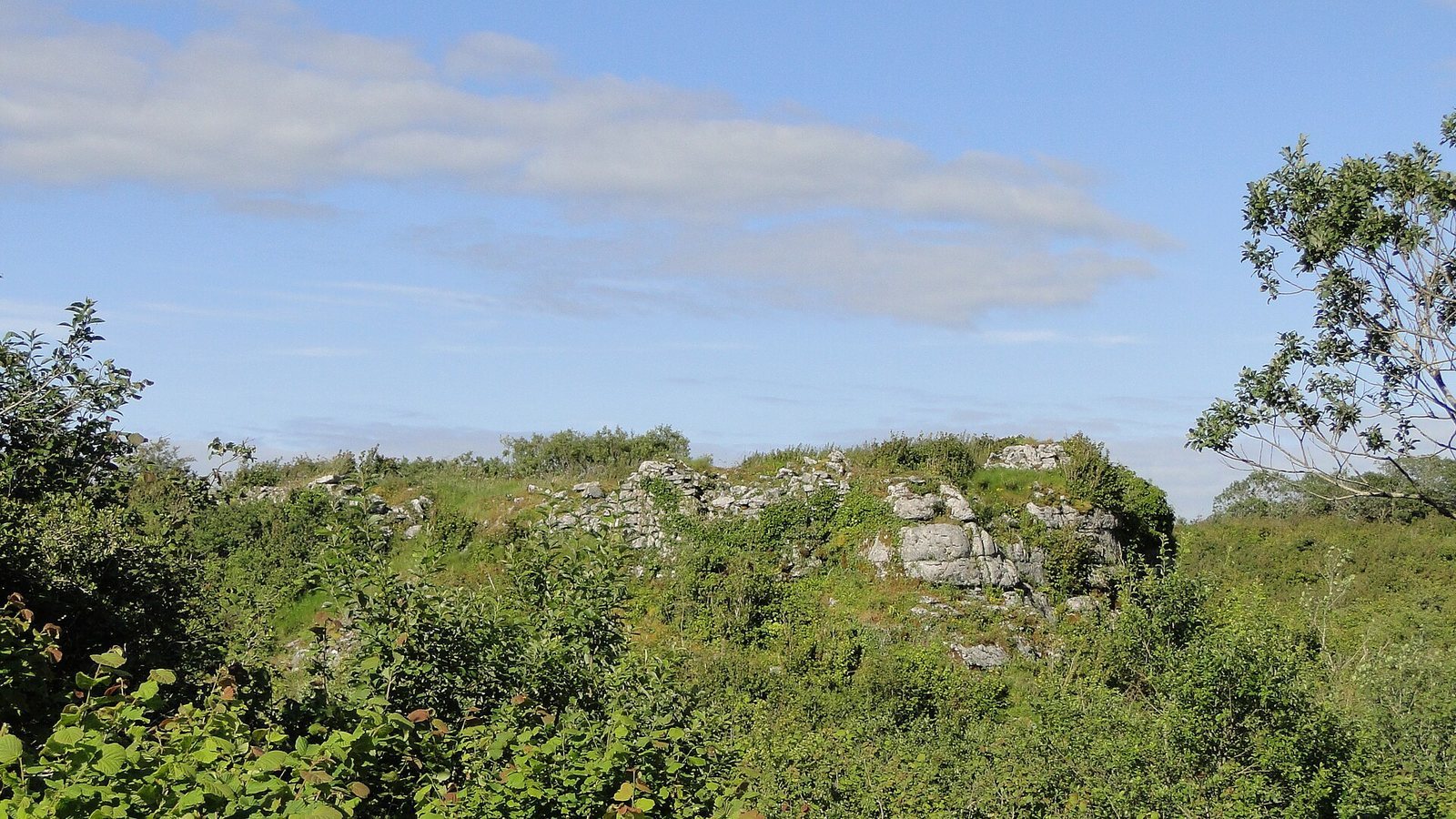
Cashlaungar occupies a natural limestone outcrop at the entrance to Glencurraun valley, in the Burren. It lies 2.7 km south of Carran, at an elevation of 116 m, overlooking the Kilnaboy–Carran road to the west. The main enclosure is accompanied by a separate enclosure, known as the Lower Fort, at the opposite edge of the plateau.
Main ringfort
The main enclosure is kidney-shaped and covers 914 square metres, with interior dimensions of about 40 m north to south and 23 m east to west.
Ramparts and entrance
The ramparts were built from long, worked stone blocks. In the 1910s, three sections remained; the northeastern stretch reached about 4 m in height, and the walls measured 2.7–3.0 m thick. The only gate is on the eastern side, opening onto the edge of a steep slope about 10 m high. It stood roughly 3 m above ground and was probably reached by ladder. Stone fragments at the slope’s foot may be broken lintels from the gatehouse.
Hut remains
Four round huts and one beehive hut, a small stone hut with a rounded profile, are among the remains. Three badly damaged huts stood on the northwest side; a fourth round hut lay near the centre, opposite the eastern gate. The round huts had thin walls and were probably roofed with thatch rather than stone vaulting.
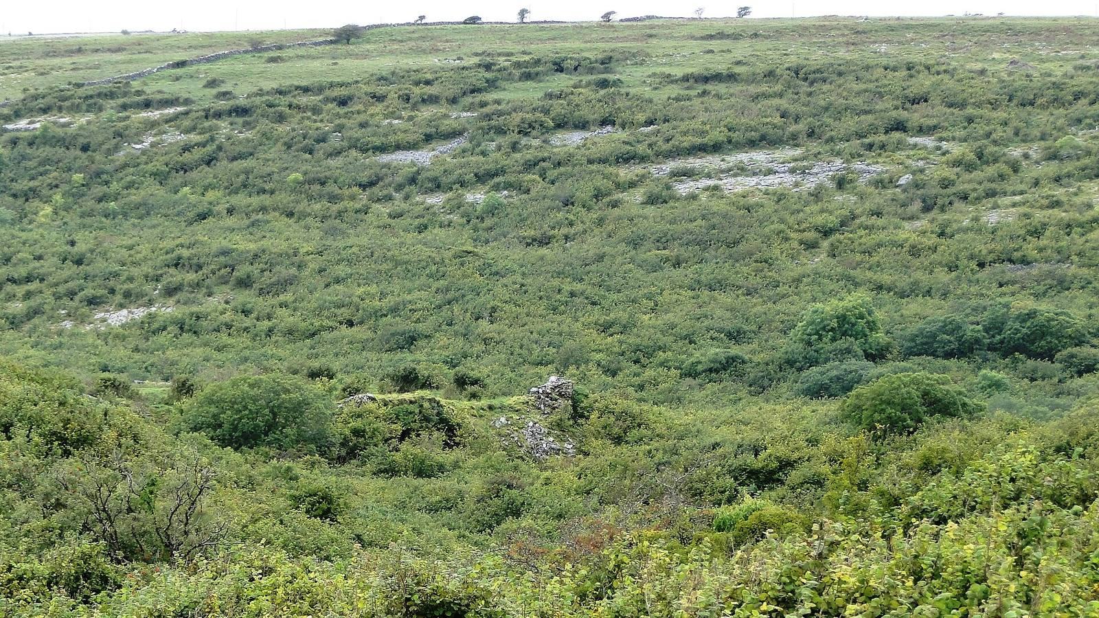
Lower Fort
About 300 m from the main ringfort, the Lower Fort is an irregular, diamond-shaped enclosure measuring approximately 46 m north to south and 40.5 m east to west inside. Its walls are around 0.9–1.8 m thick and 1.5 m high, and the southwest corner is rounded. It may have served as a cattle enclosure.
Excavated material
Excavation at Cashlaungar recovered midden deposits, accumulations of refuse that can preserve evidence of past activity, along with deer and ox bones.