Charles V Wall: A Sixteenth-Century Defense of Gibraltar
Site at a Glance
- Popularity
- Medium
- Country
- Gibraltar
- Primary era
- Early Modern
- Eras represented
- Early Modern
- Civilizations
- Crown of Castile, Spanish
- Site type
- Military
- Remains
- Wall
On this page13 sections
History
Construction and the first attack
The Charles V Wall is a sixteenth-century defensive fortification in Gibraltar, built in 1540 on the orders of Holy Roman Emperor Charles V to protect the Rock from attacks from the south. It was first known as St. Benedict’s Wall. That September, a corsair force led by Piali Hamet attacked Gibraltar, plundered the town, and took many prominent residents captive. Corsairs were maritime raiders operating from North African ports.
Design changes and additional defenses
From about 1552, Italian military engineer Giovanni Battista Calvi planned improvements. His scheme included a straight section about 280 metres long, running west to east from the coast to a cliff, a north-to-south traverse across the cliff top, and a zigzag ascent toward the Rock’s summit. A traverse is a defensive wall or barrier crossing another line of fortification.
After Philip II succeeded Charles V in 1558, he commissioned the Genoese engineer Giovan Giacomo Paleari Fratino to continue the work. Fratino proposed leaving out the traverse and removing the zigzag in favor of an upper wall that continued the lower wall’s line. Work on the traverse stopped, but Philip II’s chief engineer, Tiburzio Spannocchi, continued the zigzag section, which was completed in 1599. The traverse was never built.
A 1565 drawing by Anton van den Wyngaerde shows the wall before its bastions were built, with a gatehouse projecting toward the Gate of Africa. A bastion is a projecting part of a fortification from which defenders can cover nearby approaches. The South Bastion and Flat Bastion were both in place by 1627. Fratino built the Flat Bastion and is credited with the South Bastion, which may later have been improved by Alsatian engineer Daniel Specklin.
Philip II also built a separate defensive line, the St. Raymond’s Wall, as a fallback position. It is also called the Philip II Wall. It was once mistakenly identified as an ancient Moorish wall. The historical term Moorish refers to Muslim peoples and cultures of North Africa and Iberia, especially in the medieval period.
In 1627, military writer Luis Bravo de Acuña prepared a treatise on Gibraltar’s fortifications for Philip IV. It described defensive measures including boulders that one person could roll onto attackers and large stones held in wooden platforms above city gates, ready to be dropped on assailants.
Capture in 1704
British and Dutch forces led by British admiral Sir George Rooke captured Gibraltar in July 1704 during the War of the Spanish Succession, a European conflict over the inheritance of the Spanish monarchy. In October, during Spain’s attempt to retake the Rock, 500 volunteers led by Gibraltar-born goatherd Simón Susarte climbed the wall and killed the guard at Middle Hill. Grenadiers then attacked them, and all the volunteers were killed or captured.
Cemeteries and later changes
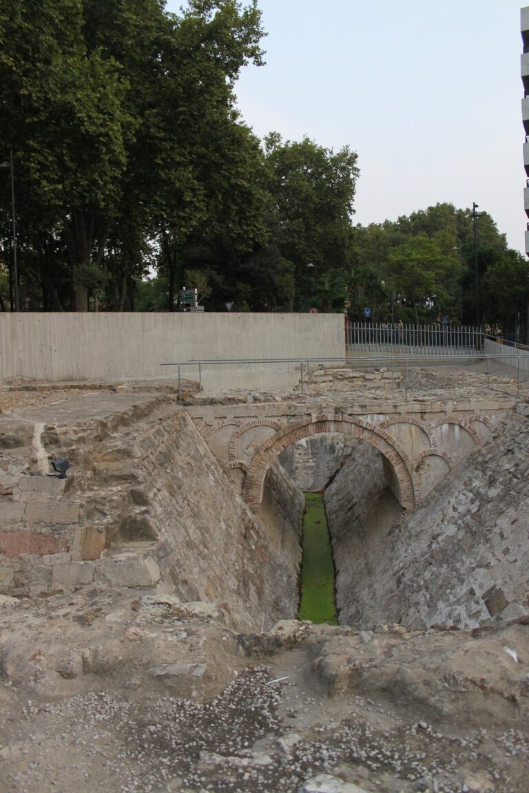
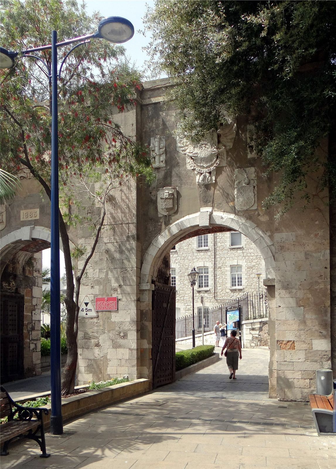
Southport Gates were built on the site of the former Gate of Africa. Deadman’s Cemetery lay within the wall, and some of its headstones date to 1738. Southport Ditch Cemetery, later renamed Trafalgar Cemetery in honor of the Battle of Trafalgar, was consecrated in 1798. Many of its tombstones mark people who died in the yellow-fever epidemics of 1804, 1813, and 1814; the cemetery fell out of use after 1814.
In 1929, Deadman’s Cemetery became part of St. Jago’s Barracks and was converted into a court for ball games and a rifle range. Its headstones were moved to Trafalgar Cemetery in 1932. The upper wall has since been restored and lies within the Upper Rock Nature Reserve, established in 1993 and covering about 40 percent of Gibraltar’s land area.
Remains
Overall alignment
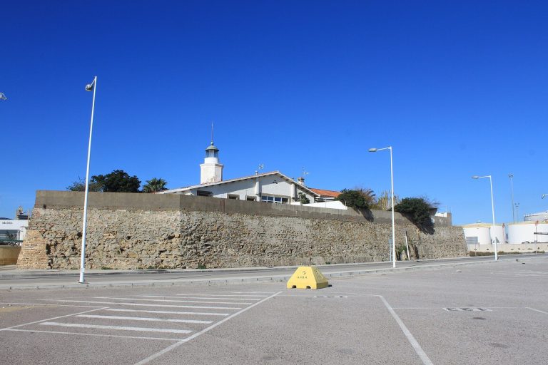
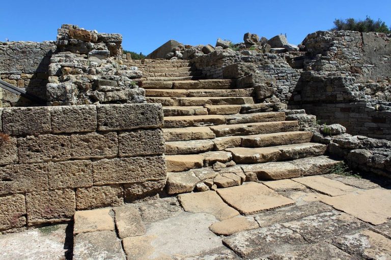
The largely intact fortification links a lower section near the former harbor edge with an upper climb toward the crest of the Rock. Its lower and upper stretches occupy different levels of the steep slope, with the upper section rising from a cliff top.
Entrances and bastions
Gates
The lower wall climbs from the South Bastion to Prince Edward’s Gate at the foot of a steep cliff. The Gate of Africa passes through this section and is defended from above by the Flat Bastion. The later Southport Gates stand where the former Gate of Africa was located.
South and Flat Bastions
The South Bastion stood at the harbor’s water edge. The Flat Bastion is positioned above the Gate of Africa, providing defense over the entrance and the approach below.
Upper wall and summit
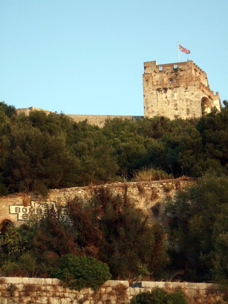
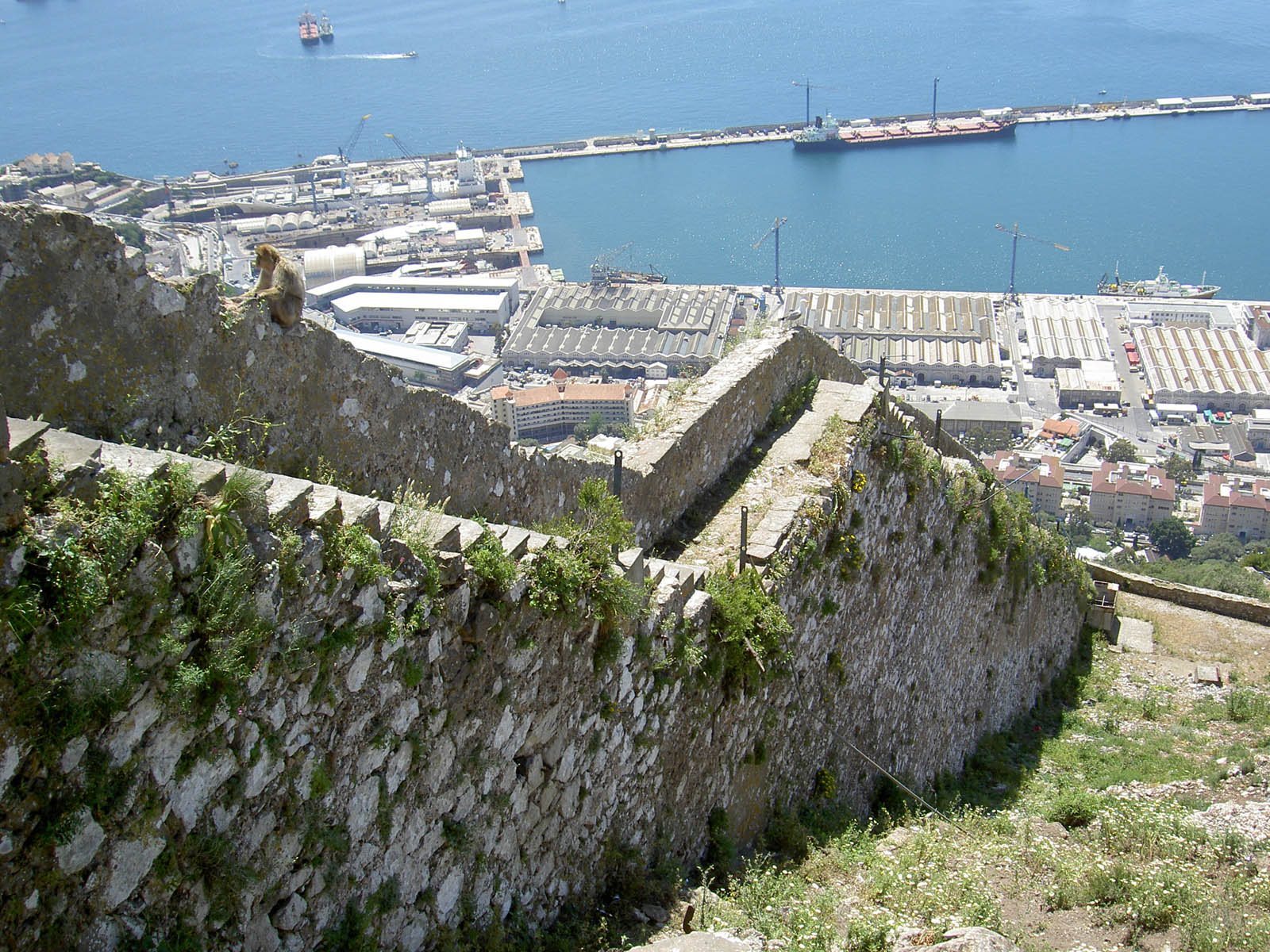
Farther south, the upper section rises from the cliff top toward the Rock’s crest in four zigzag stages. This arrangement allowed defenders to fire along the faces of the wall. At the summit, the Hacho, later used as a signal station for relaying messages over distance, once had a small tower. The upper wall is in good condition and has a handrail.
St. Raymond’s Wall
A separate wall continues from the lower section almost to the top of the Rock. It forms another defensive line apart from the main wall.
Cemetery remains
Deadman’s Cemetery was on the inner, northern side of the wall above Southport Gates. Trafalgar Cemetery lay across the wall from it. Headstones transferred from Deadman’s were set into a wall at Trafalgar Cemetery.