Dapšiai Hillfort: A Fortified Settlement in Lithuania
Site at a Glance
- Rating
- 3
- Popularity
- Very Low
- Country
- Lithuania
- Primary era
- Medieval
- Eras represented
- Classical, Medieval, Modern
- Civilizations
- Russian
- Site type
- Military
- Remains
- Fort
On this page13 sections
History
Dapšiai Hillfort, a fortified settlement on elevated ground, is located near Dapšiai in Lithuania. Also known as Alka Hill, its name includes the Lithuanian word alka, which refers to a sacred place often associated with pre-Christian worship. Activity on the hillfort dates to the second half of the first millennium BC, and it remained in use until the thirteenth century.
Early occupation and use
A settlement at the hillfort’s foot dates from the middle of the first millennium AD through the thirteenth century. During the middle and later parts of the first millennium AD, the hillfort’s earthen defensive embankment, or rampart, was reinforced and repaired about ten times. The rampart of the outer enclosure, a defended area beyond the hillfort’s main enclosure, was reconstructed three or four times.
Later damage and archaeological investigation
Cemeteries established on the hillfort and its outer enclosure during the nineteenth and early twentieth centuries damaged both areas. The hillfort was surveyed in 1948 and 1966 by the Institute of History. After the Varduva was dammed, the site lay within the reservoir’s inundation zone. In 1974, archaeologists from the Lithuanian Institute of History, led by Lithuanian archaeologist Vytautas Daugudis, excavated 431 square metres at the hillfort, including a full cross-section of the site and a lengthwise section of the outer enclosure. They also investigated 147 square metres of the settlement at the hillfort’s foot.
Remains
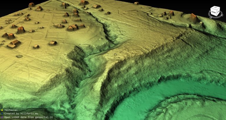
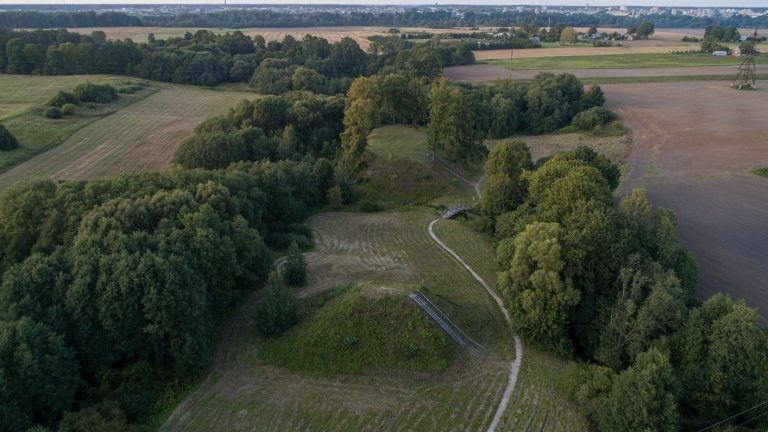
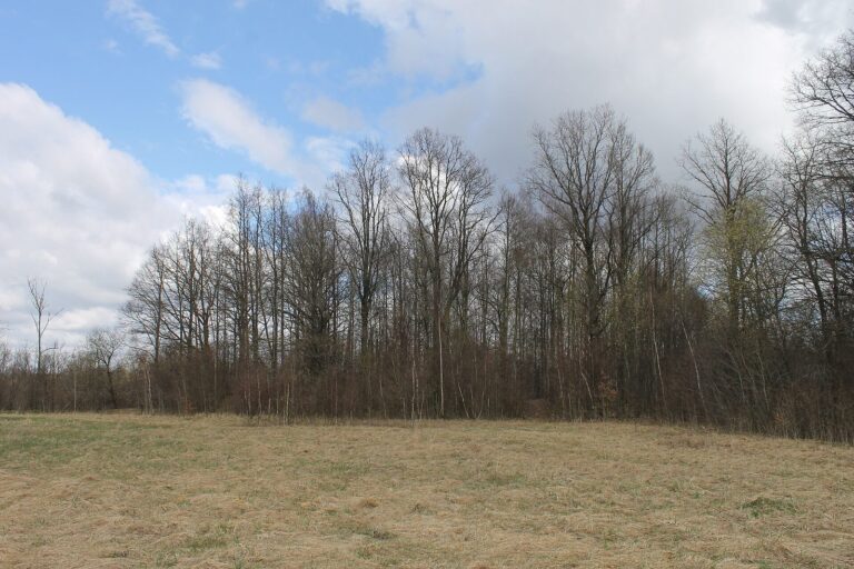
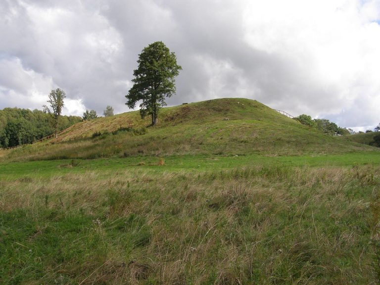
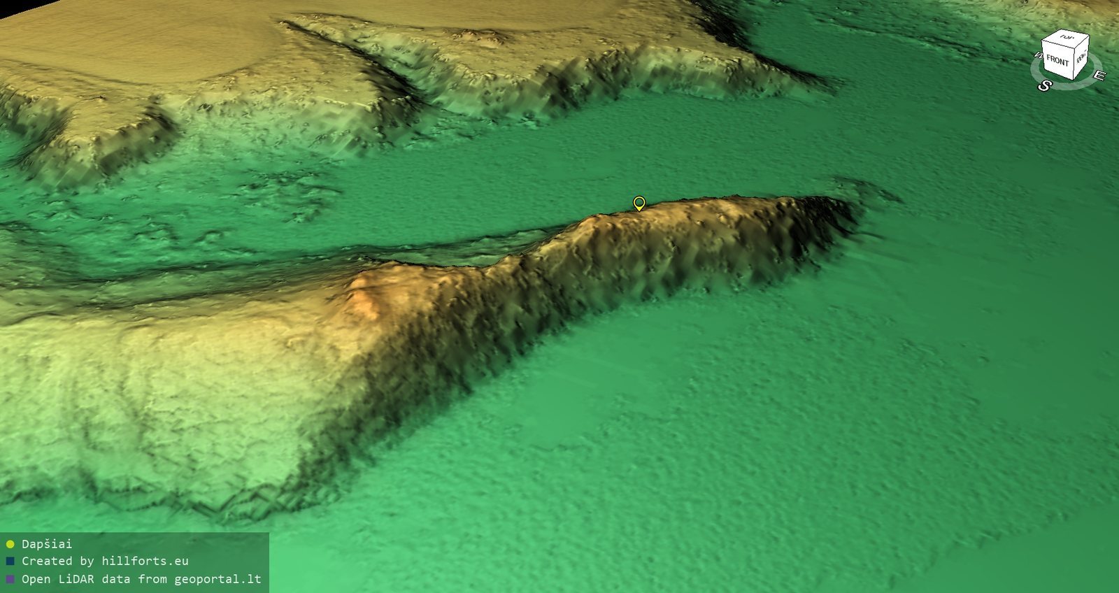
The hillfort occupies a promontory about 100 metres long and 15 metres high at the meeting of the Dubulis and Gūžė streams with the Varduva. The confluence is now covered by the Varduva Reservoir. Stream valleys border the site on three sides, and erosion has steepened and damaged its slopes, which reach 14 to 15 metres in height.
Promontory and defenses
Main platform and ramparts
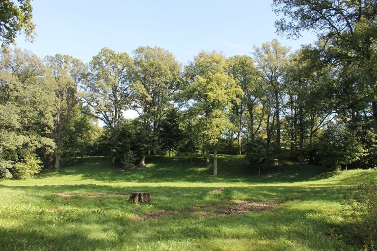
A platform measuring 42 by 11 metres occupies the northeastern part of the promontory. On its southwestern edge, a rampart rises about 1.8 metres and measures 14 metres across at its base. A ditch beyond it is about one metre deep and two metres wide at the top. Farther out is a second rampart, about five metres wide and 0.2 metres higher than the ditch; its outer slope drops 0.4 metres to a second ditch, seven metres wide and 0.3 metres deep. Beyond that ditch, the outer-enclosure slope is heavily eroded. A terrace four metres wide lies on the platform’s northeastern slope, two metres below the platform. Erosion by the Gūžė has washed away most of the platform.
Outer enclosure
The triangular outer enclosure runs northeast to southwest and measures 35 by 25 metres. Its southwestern edge has a rampart one metre high and 9.5 metres wide. The rampart’s outer slope, two metres high, descends to a two-metre-wide ditch, of which only a terrace remains. Beyond it lies a second, flattened rampart two metres wide, with an outer slope one metre high. The Varduva has eroded the side of the enclosure. It was initially only 25 metres long and had an outer rampart. During a later reconstruction, that rampart was cut down and the platform extended by ten metres. A new rampart, one metre high and three metres wide, was built with a ditch half a metre deep and one metre wide.
Excavated fortifications
The latest rampart had a double wooden defensive wall, 2.5 to three metres wide. Upright posts sunk into the ground were braced with horizontal logs 15 to 20 centimetres in diameter. Excavation revealed small charcoal fragments near the rampart crest, marking the former wooden defenses. The rampart itself was built from dark grey soil mixed with clay. A stone pavement on its outer face, about 0.4 metres below the crest, was 0.7 metres wide and made of stones ranging from 5 by 10 by 7 centimetres to 15 by 10 by 20 centimetres. It may have strengthened the outer side of a wooden wall. A similar pavement, up to 0.8 metres wide, ran along the inner foot of the rampart about 0.7 metres below its crest and probably reinforced that side.
Archaeological features and finds
Hillfort
Excavation uncovered part of a dwelling supported by upright posts set into the ground, dating to the second half of the first millennium BC. Its room was four metres wide and had an open hearth. Finds from the hillfort include handmade pottery with brushed surfaces and animal bones, as well as pottery with brushed, smooth, and rough surfaces from later periods. Other finds include clay weights, bronze ornaments, and an iron axe.
Outer enclosure
Finds from the outer enclosure include a broad-bladed iron axe, a bronze brooch, a stone whetstone used for sharpening blades, and pottery made on a rotating wheel.
Foothill settlement
A settlement covering 1.5 hectares extends along the southern and southwestern foot of the hillfort. Excavations there revealed remains of a wooden defensive barrier, pottery made by hand and on a rotating wheel, iron knives, stone whetstones, clay building daub, and animal bones. These finds are held at the National Museum of Lithuania.
Cemeteries and marked stone
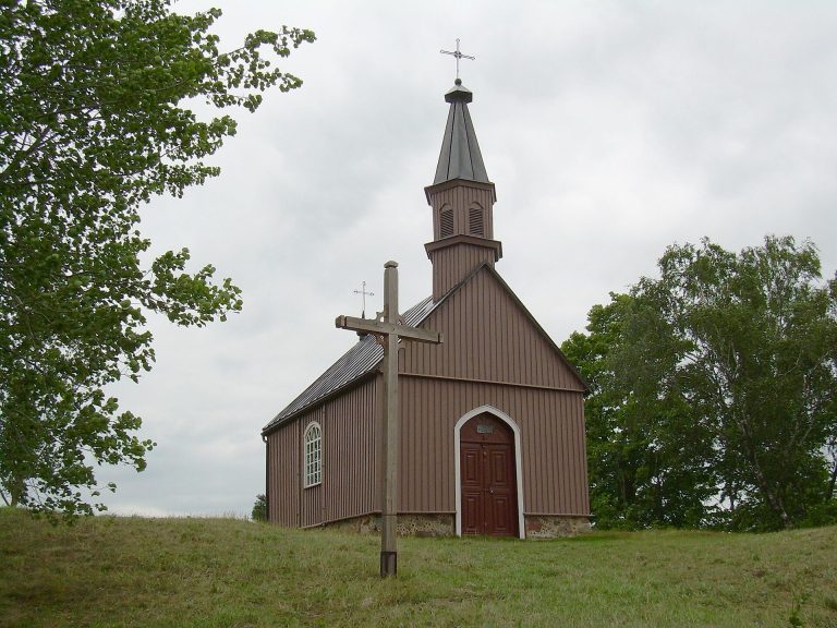
A small wooden chapel stood in a cemetery on a terrace of the northern slope, about eight metres below the hillfort. A cemetery also occupied the hillfort platform in the early twentieth century, where a stone headstone dated 1908 still stands. A marked stone that once stood beside the hillfort was moved to Ruzgai.