Vrokastro: A Bronze Age and Early Iron Age Settlement in Crete
Site at a Glance
- Popularity
- Very Low
- Country
- Greece
- Primary era
- Iron Age
- Eras represented
- Bronze Age, Iron Age
- Civilizations
- Ancient Greek, Minoan
- Site type
- City
On this page10 sections
History
Vrokastro is an ancient settlement on a hill in northeastern Crete, Greece. Its name is a shortened form of Evraiokastro, meaning ‘Hebrew fortress.’ Finds place activity there in the Middle Minoan phase, around 2100–1700 BCE, within the Bronze Age Minoan civilization centered on Crete. Vrokastro’s later occupation makes it important for understanding the transition from the Late Bronze Age to the Early Iron Age.
Late Bronze Age reoccupation
The settlement was occupied again around 1250 BCE. Its Late Minoan IIIC phase, a late stage of Minoan civilization, is dated to about 1200/1150 BCE. Occupation continued through the Geometric period, an Early Iron Age phase of Greek culture also associated with a pottery style, and lasted until about 700 BCE.
Strategic setting
During the Geometric period, Vrokastro’s position may have made it a refuge. Together with Elias to Nisi to the northeast and Agios Phanourios to the east, it probably formed part of a settlement center between Agios Nikolaos and the Isthmus of Ierapetra, a narrow strip of land joining larger land areas while separating bodies of water.
Archaeological investigations
Richard Berry Seager and Harriet Boyd-Hawes visited Vrokastro in 1903. Edith Hayward Hall led the first excavations in 1910 and 1912; some areas uncovered in 1912 were not included in the published report. A survey of the surrounding area followed in the 1980s. Barbara J. Hayden initiated the Vrokastro Survey Project and published a new plan of the excavated building foundations.
Remains
Settlement layout
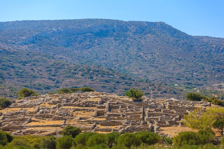
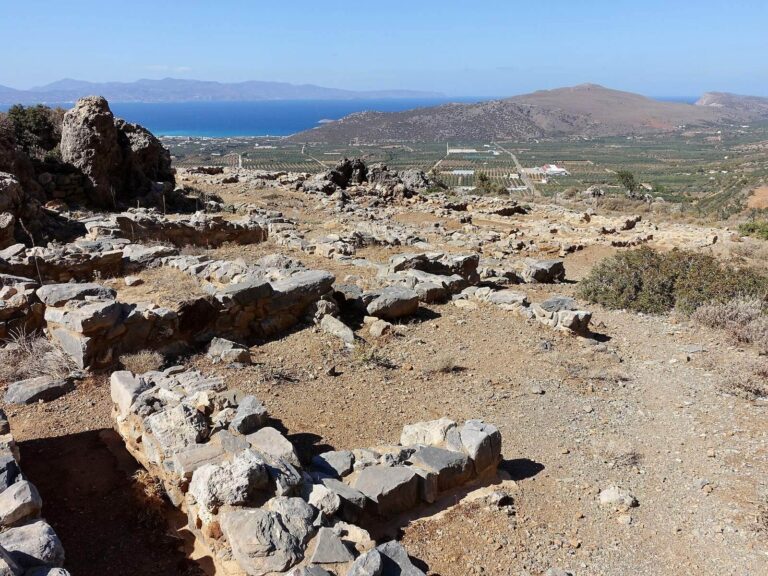
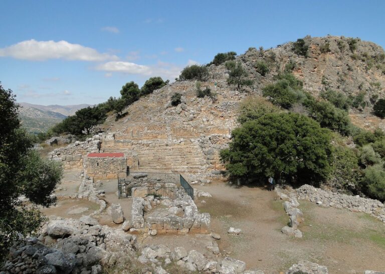
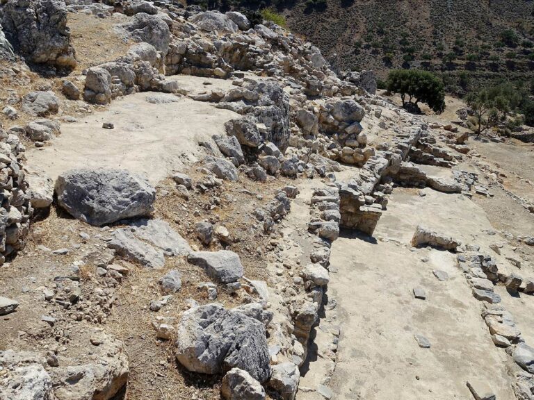
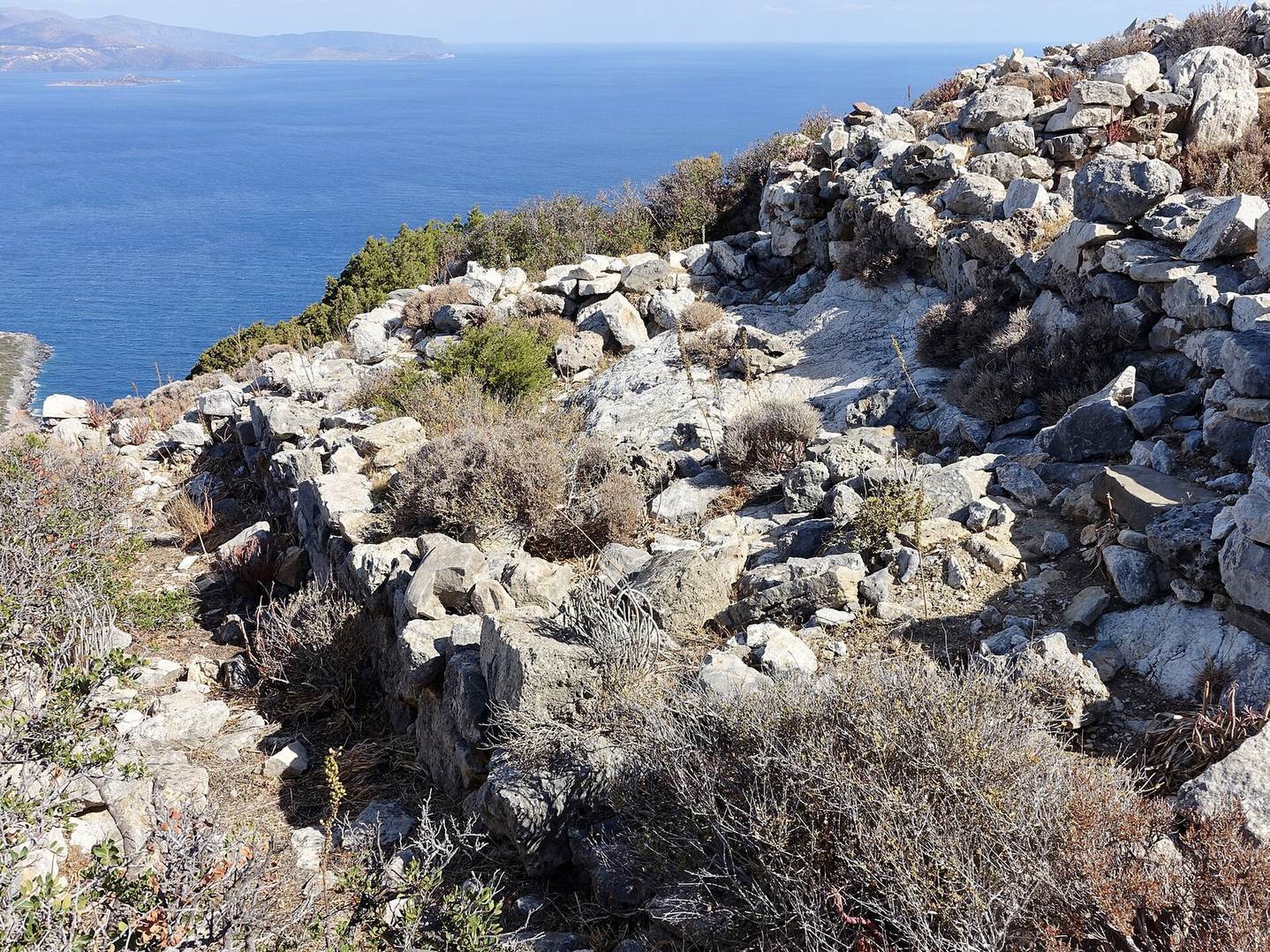
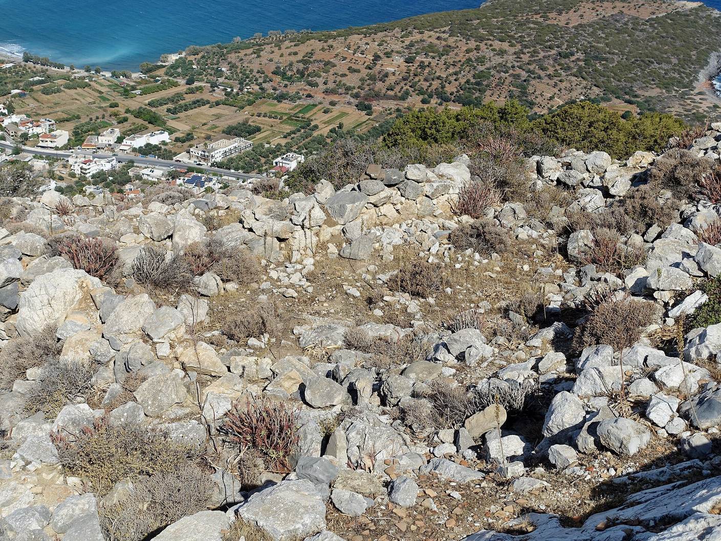
The settlement occupies a hill about 500 metres south of a small bay on Crete’s north coast, near the Gulf of Mirabello. Its excavated areas are known as the Upper and Lower Town. The Lower Town lies at elevations of about 270–290 metres; the Upper Town is roughly 55 metres farther south, spanning about 300 metres to the hilltop at 313 metres. The excavated settlement covers about 15,000–18,000 square metres, representing its later, Geometric-period extent. The earlier settlement is estimated at about 7,000 square metres. Material marking the beginning of the Late Minoan IIIC phase comes chiefly from fills and pits.
Buildings and wall
Rooms and the largest building
In the later settlement, excavations revealed 63 rooms in the Lower Town and 31 in the Upper Town. Buildings included single-room units and rectangular structures with several rooms, joined in a closely additive arrangement. Small paths and courtyards are also identifiable. The largest building, in the Upper Town, measures 6.5 by 12 metres. Figurines found inside suggest that it may have served solely as a place of worship.
Northern wall
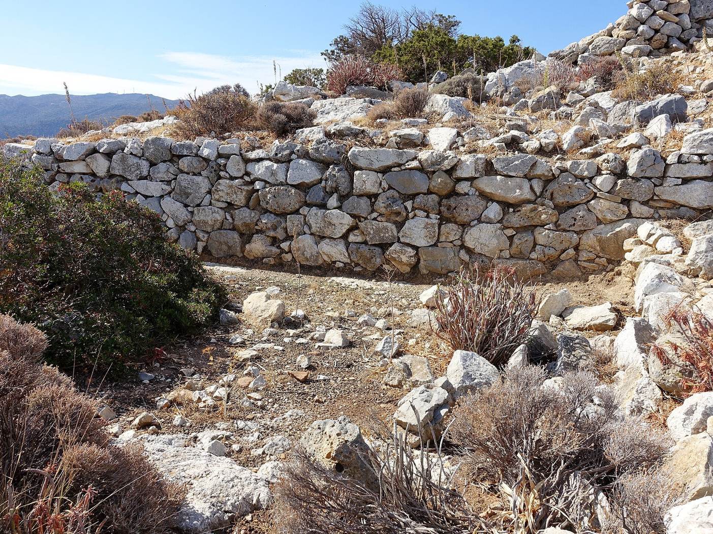
Remains of a wall 1–1.5 metres thick occur in places along the northern part of the Lower Town. Barbara J. Hayden considered it multifunctional, rather than solely a defense for the settlement.
Burials
Burials excavated at Vrokastro date from about 1200 to 700/650 BCE. The latest burials in corbel-vaulted tombs, built by laying successive courses of stone inward to form a vault, are thought probably to be contemporary with the Protogeometric period and pottery style of central Crete. The relationship of other graves found near Vrokastro to the settlement remains uncertain.