Tiversk: A Medieval Fortified Settlement on the Vuoksi
Site at a Glance
- Popularity
- Medium
- Country
- Russia
- Primary era
- Medieval
- Eras represented
- Medieval, Modern
- Civilizations
- Novgorod Republic
- Site type
- Military
- Remains
- Fortified Town
On this page15 sections
History
Tiversk is the ruin of a fortified settlement on Tiuri Island in the Vuoksi River, Russia. Associated with Karelians, a Finnic people, and Novgorod, a medieval Russian city-state, it flourished in the fourteenth century. The fortress guarded the water route between Vyborg and Korela, the medieval name for the stronghold at present-day Priozersk, and was intended to delay an enemy advancing on Korela.
Origins and disputed chronology
The settlement’s earlier Karelian names, Tiuri and Tiurinlinna, referred to a town by rapids. Historical records use the name Tiversky fortified settlement in the fourteenth and fifteenth centuries, while the name Tiversk came into use in the nineteenth century.
Proposals for the settlement’s beginnings differ. Some researchers place a Karelian community on the island by the ninth century at the latest, regarding it as a center of the Tivrulets, a Karelian clan grouping, and later of the Tiversk appanage principality. An appanage was territory assigned to a member of a ruling family. Other researchers date the foundation to the late thirteenth or early fourteenth century and consider a pre-fourteenth-century town unsupported. A further proposal suggests occupation around the turn of the tenth and eleventh centuries, followed by abandonment and fourteenth-century resettlement amid Swedish military pressure.
Archaeological interpretations add to the uncertainty. Finds taken to indicate settlement date from 500 BC to AD 300, while other material belongs to the tenth through early twelfth centuries. Some researchers have proposed that the site was fortified in the eleventh century or earlier.
Novgorodian and Swedish conflict
Swedish forces probably destroyed the fortress around 1295 during a campaign against Korela. The 1323 Treaty of Nöteborg, an agreement between Novgorod and Sweden that established a border between their territories, placed Tiversk on the Novgorodian side and barred both parties from building fortresses along the border. This location has been taken to mean that Tiversk already existed before the treaty. Archaeologist Anatoly Kirpichnikov instead proposed that the Karelian ruler Vallittu began building the fortress after 1323.
Fortification work has also been associated with the 1330s and with Valita Korelyanin. He has been described as a Novgorodian voivode, a military or administrative leader, but the title may refer instead to a Karelian valit, a local leader. During the fourteenth century, Tiversk has been interpreted as a stronghold of the Karelian elite and of resistance to Christianity as their authority declined. A church may have served the settlement’s trading and craft activity, though its presence is uncertain.
According to the Nikon Chronicle, a Russian chronicle, Tiversk and thirteen other settlements were granted in 1404 to Yury Svyatoslavich, Prince of Smolensk, after Lithuania’s ruler Vytautas captured Smolensk. Swedish forces raided and destroyed Tiversk in 1411. Novgorodian Prince Lugven, baptized as Simeon and a member of Lithuania’s ruling Gediminid dynasty, retook it that year. Novgorod’s authorities did not rebuild the fortress, judging its defenses inadequate against weapons that included crossbows and firearms.
Religious traditions and later history
In a 1534 letter, Archbishop Macarius of Novgorod described Karelians continuing to worship at sacred stones and trees rather than attend church. He sent church personnel and Hieromonk Ilya, a monk ordained as a priest, to investigate and destroy pagan sanctuaries in the Korela district. A cross cut into a Tiversk stone may date from the Orthodox consecration of a former shrine in the 1530s, although another interpretation places its carving earlier. The cross has also been linked to a boundary, but not to the Swedish-Novgorodian border, which lay farther west.
A local legend relates that Korela was first meant to be built beside the Tiuri rapids. After spirits destroyed a settlement raised in a single day, the story says, the builders moved to the site of present-day Priozersk. In 1857, blasting at the Kiviniemi isthmus lowered the water in the old Vuoksi channel and joined Tiuri Island to the mainland. Blasting at the Losevo channel that year also left the river shallower at Tiversk, and the mill there stopped operating.
Yakov Grot described Tiversk in 1847. Hjalmar Appelgren-Kivalo excavated at the site in the 1880s, and a plan and description followed in 1890. Anatoly Kirpichnikov excavated in 1971, and Svetlana Kochkurkina led work from 1971 to 1974. Most excavated remains belong to the late thirteenth through early fifteenth centuries. A 1974 decree recorded Tiversk as a Russian cultural heritage property of federal significance.
Remains
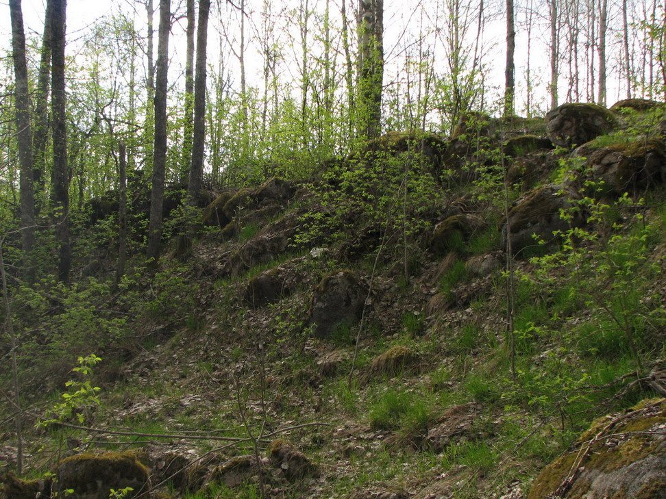
The settlement occupied an island about 240 metres long and 80 metres wide. Its enclosed area measures roughly 225 metres from north to south and 45 to 60 metres across, covering about one hectare. An earthen bank and a stone wall formed the defenses, with buildings and activity areas arranged within their perimeter.
The fortified settlement
Ramparts and stone wall
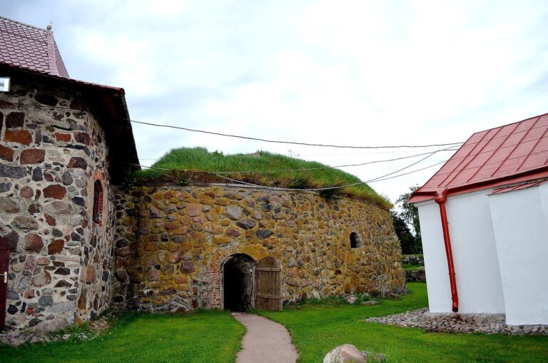
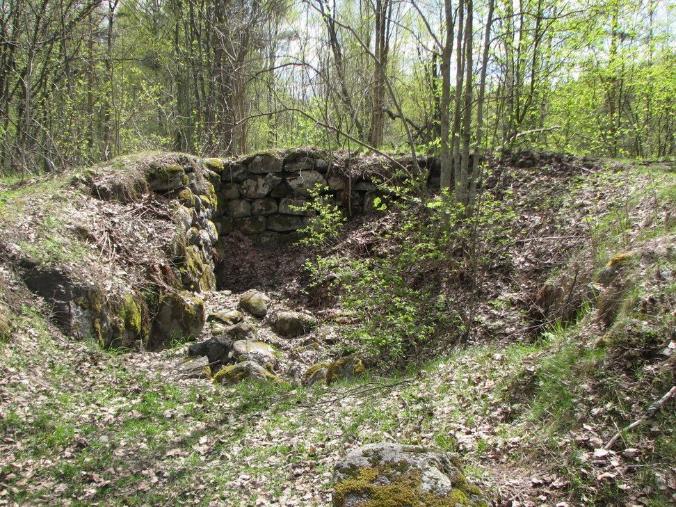
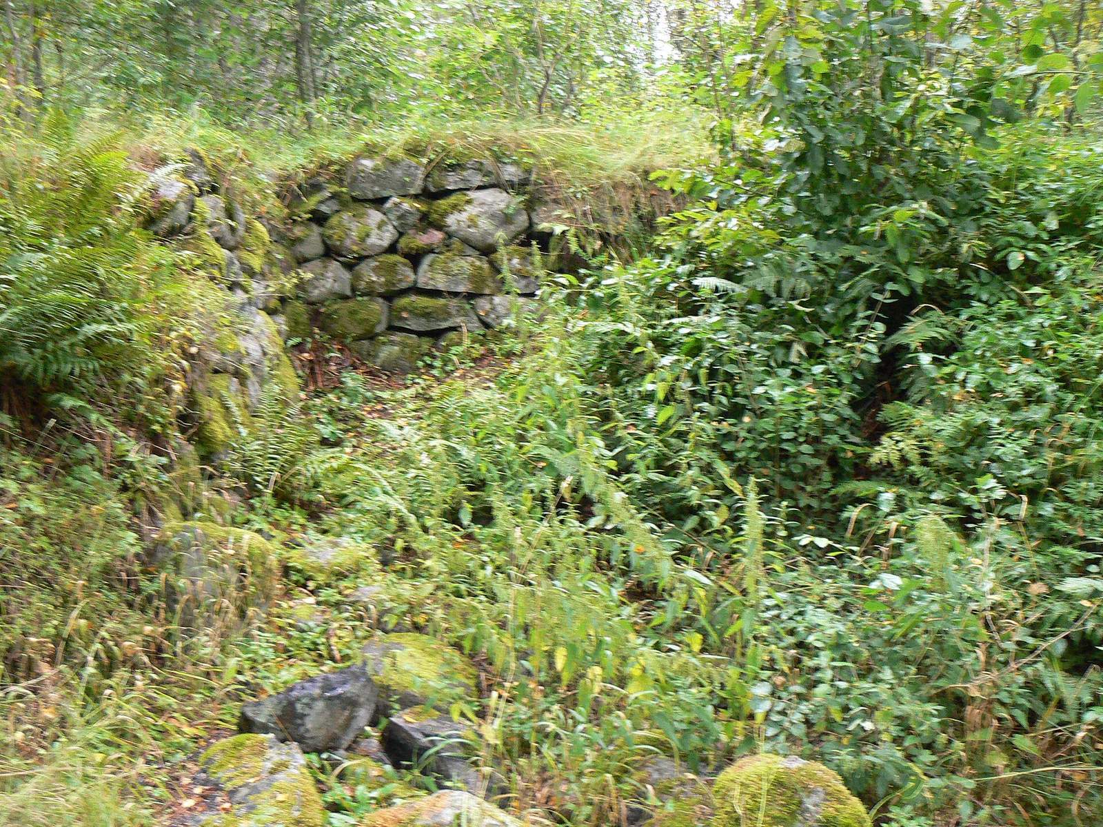
The defensive wall was built largely from large boulders laid without mortar. It stood about two metres high and carried a wooden protective barrier of roughly the same height; the combined rampart and wall measured 4.5 to 7 metres thick. The earthen bank was 4 to 5 metres wide at its base, rising about 0.8 metres on the inner side of the stonework and 1.7 metres on the outer side. Its fill covered a stone foundation.
The southern defenses, the site’s strongest and best-preserved section, guarded the approach considered most vulnerable. They are also where excavations recovered most of the weapons. The northern part was regarded as safer and contained much of the settlement’s economic activity; in places, its stone wall survives close to its original height.
Buildings and internal areas
Excavations identified foundations for nineteen buildings, generally measuring between 4 by 5 metres and 8 by 7 metres. Individual dwelling floors ranged from 18 to 20 square metres up to 54 square metres. A much larger building covered about 300 square metres and had a hearth in the middle. The buildings formed two staggered rows following the island’s shape and creating an additional defensive line. Excavations also revealed burials of defenders killed at the fortress.
House foundations used small, closely fitted stones coated with clay, while the upper parts of the houses were wooden. Hearths had stone floors and sides, usually in the northwest corner of a house near its entrance. In the eastern part of the settlement, three rectangular chambers made from large boulders were built against the inside of the defensive wall.
Outlying foundations
About 400 metres northwest of the settlement, in woodland beside the river, square foundations made from small boulders stand up to a metre high. They are thought to have belonged to the settlement’s outlying area.
Finds and stone features
Pottery and portable finds
Finds from the settlement include belt hooks, bracelet fragments, a small bell, beads, an axe, pottery, Arabic coins, and a western European coin dated to the eleventh century. An Arabic-coin hoard was found during archaeological work in 1890. Finds from a hoard discovered at Tiurinlinna are held in Finland’s National Museum. In autumn 2026, archaeologists from the Institute of Anthropology and Ethnography of the Russian Academy of Sciences found another hoard, containing silver brooches, a decorated neck ring, medallions, and Arabic and Swedish coins dated to the twelfth through fourteenth centuries.
Handmade pottery from the site includes groups comparable to vessels from burial mounds in the Ladoga region and dates to the tenth and early eleventh centuries. Related examples occur at Staraya Ladoga, Rurikovo Gorodishche, Novgorod, and other northwestern Russian sites. A decorated vessel finished on a potter’s wheel resembles an early wheel-made pot from Shugozero. Some decorated fragments have parallels at Gorodok on Mayata, while one group of vessels shares forms with pottery from Novgorod’s Nerev excavation.
Boulders and carved cross
Several boulders, 1.5 to 2.5 metres high, lie in the settlement’s northeastern part. One bears a small equal-armed cross on its western face, enclosed by a circle about 10 centimetres across. The boulders have been interpreted as sacred or sacrificial stones, but the purpose and date of the carved cross remain uncertain.
About 100 metres north of the settlement, a glacial boulder is sometimes mistaken for a constructed megalith. A nearby accumulation of stones is also glacial in origin, while another stone bears traces of drilling.
Channels and later alterations
Crossings, mill, and water marks
A road now crosses the settlement, where a gap was made in the defensive wall. Two bridges once spanned the western channel, supported by a granite ridge that rose above the water. The mill built at the ridge has left only its foundation. The eastern channel has dried out, exposing a stony ridge, and a bridge crosses the western channel today.
Two white water-level marks on stones in the channel indicate levels for 1818 and 1857. A boulder in the water near the site, about 1.5 metres above the current level, bears both marks and a recess in its upper surface for securing a bridge deck. It lies in a bay before the channel narrows and becomes shallower.
Damage and memorial
Construction of houses and cellars in the nineteenth century damaged the walls in the southwest, leaving scattered stone heaps. Road building in the second half of the twentieth century destroyed a substantial part of the archaeological site, and highway reconstruction in the 1970s altered the area around the Vuoksi crossing. Defensive works from the Second World War remain beside the highway. A memorial sign installed in 1988 bears the words, "To our Russian ancestors, who drenched this land with their sweat and blood."