Hurvat Itri: An Ancient Judean Village
Site at a Glance
- Popularity
- Medium
- Country
- Israel
- Primary era
- Classical
- Eras represented
- Classical
- Civilizations
- Achaemenid, Roman
- Site type
- City
On this page20 sections
History
Hurvat Itri is an ancient village in the Judean Shephelah of Israel, the foothill region between the Judean hill country and the coastal plain. It was first occupied in the late Persian period and grew through the Hellenistic and Roman periods, with successive phases of Jewish settlement and destruction.
Persian and Hellenistic settlement
Hurvat Itri was inhabited by the late Persian period. During the Hellenistic era, when Greek-speaking successor kingdoms ruled the region, the settlement expanded to more than seven dunams, a unit of land area. Finds suggest that its residents were Jewish. Some of the village’s ritual baths may date to this phase.
Development accelerated in the early first century CE. Before the First Jewish–Roman War, a Jewish revolt against Roman rule in Judea from 66 to 73 CE, the built-up area covered about ten dunams. Residents grew grapes and apparently also produced olive oil and dried figs. They raised pigeons for fertilizer and spun and wove textiles.
War, rebuilding, and renewed revolt
The village suffered damage during the First Jewish–Roman War. Structures were pulled down, and the settlement was temporarily deserted. Hurvat Itri has been tentatively identified with Caphethra, which the first-century Jewish historian Josephus says was destroyed in 69 CE by units of the Roman Fifth Macedonian Legion. The proposed identification draws on the village’s prewar size and a pottery fragment inscribed with the name "Ethri."
Jewish residents returned between the First Jewish–Roman War and the Bar Kokhba Revolt of 132–136 CE, a second uprising against Roman rule. They repaired and adapted buildings, and the settlement occupied roughly half its previous area, concentrated on the eastern side. A public building was established beside the homes. In preparation for the revolt, residents enlarged underground spaces beneath their houses, using them during the fighting for shelter and storage of food and supplies. The village was violently destroyed in the revolt. Archaeologist Boaz Zissu has suggested that its substantial defenses may place it among the Judean strongholds destroyed under Emperor Hadrian.
Roman-period occupation and abandonment
Shortly after 200 CE, a new community restored buildings at Hurvat Itri. Its identity is uncertain. The residents may have been pagans or Roman army veterans granted land near Eleutheropolis, the ancient name of Beth Guvrin. This phase lasted about 150 years and brought few major architectural changes. The settlement was abandoned in the second half of the fourth century, although shepherds and nomads continued to visit. Finnish scholar Aapeli Saarisalo later proposed that occupation extended into the Byzantine and early Arab periods.
Name and archaeological investigation
The settlement’s ancient name is unknown. It was formerly called Umm Suweid, meaning "mother of the buckthorns." After the discovery of the "Ethri" inscription, Israel’s Official Names Commission adopted Hurvat Itri as the modern name in March 2001. The name may connect the site to Josephus’s Caphethra, perhaps a Greek form of Kfar Ethra, or "Ethra Village."
After prolonged looting, a rescue excavation in 1999–2000 uncovered remains and helped prepare the site for public access. Further excavation took place in 2004 and 2016. The Jewish National Fund partly restored the Second Temple-period building complex.
Remains
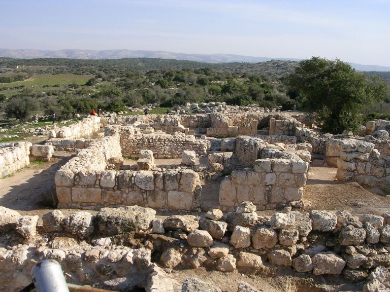
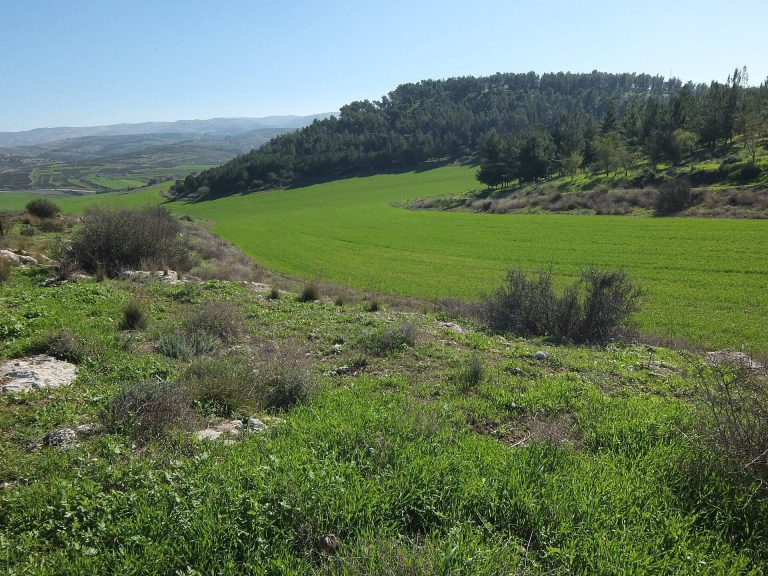
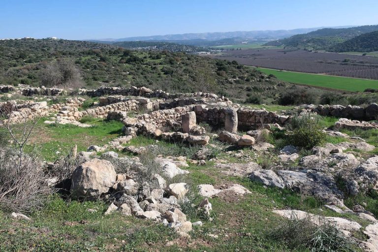
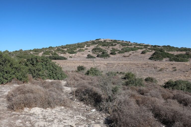
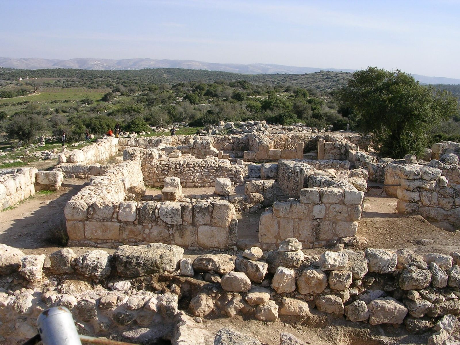
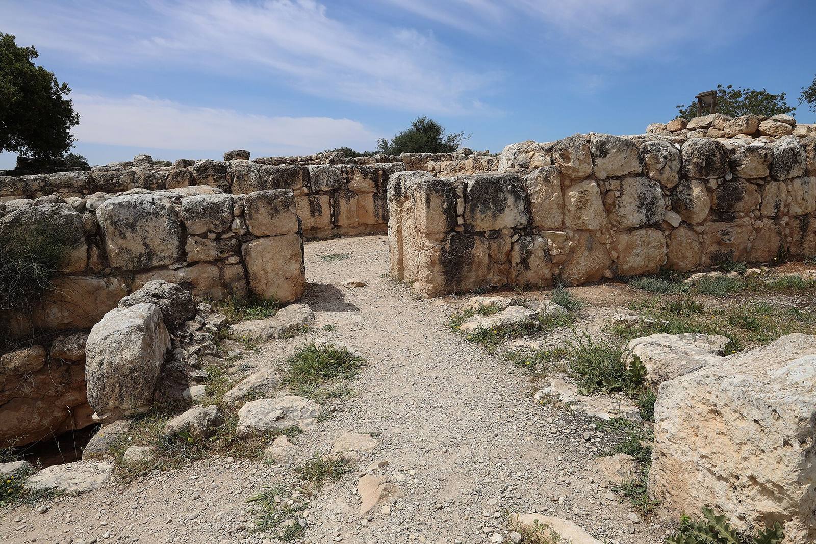
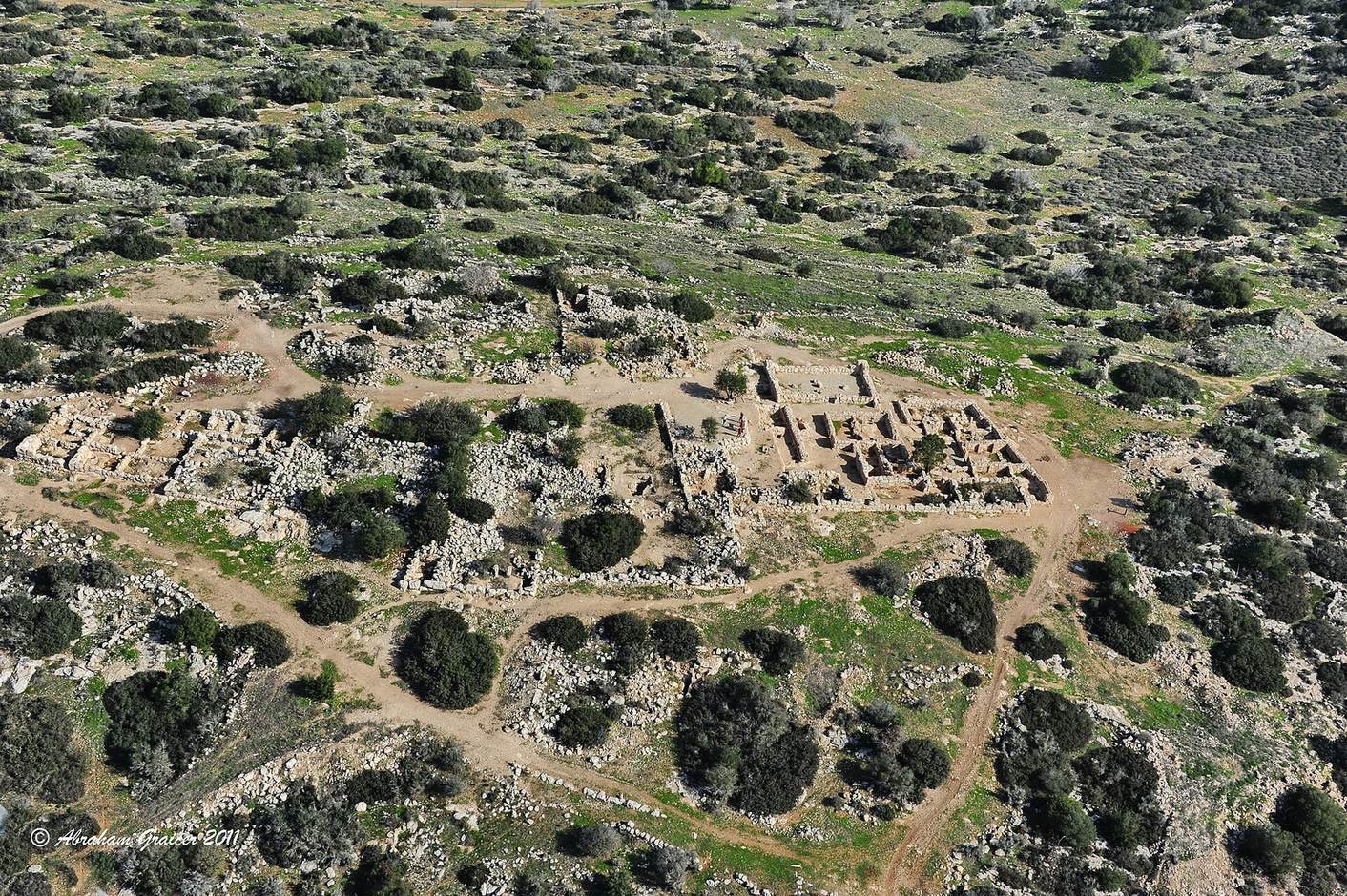
The partially restored village lies within Adullam-France Park on a hilltop about 406 metres above sea level. Its surviving fabric includes streets, residential buildings, a public structure, walls, and spaces cut into chalk bedrock. The remains occupy a landscape of the Judean Shephelah, with the main building complex on the summit.
Residential and public buildings
Residential quarter
Houses and streets form the residential parts of the settlement. Rooms from the Hellenistic period were later incorporated into buildings, while other structures were dismantled or reused. Cisterns and underground quarries also belong to the earlier remains, and this later alteration makes the original extent of the Hellenistic settlement difficult to determine.
Public building
The public building stands beside a residential quarter within the large hilltop complex. It may have been a synagogue; if so, it may be the only known synagogue associated with the period between the two Jewish revolts, a generation connected with Yavneh, a Jewish religious and scholarly centre. An entrance to an underground hiding complex lies at one corner of the building.
Subterranean spaces and burials
Hiding complexes
Underground hiding places beneath homes developed from single chambers reached by passages into larger, linked systems. Before the Bar Kokhba Revolt, residents expanded them into multi-room complexes with escape openings and connections to water cisterns. Excavation of one complex revealed a period-typical lamp and three bronze coins reissued by the Bar Kokhba administration; another had been looted before it was excavated.
Ritual bath and mass grave
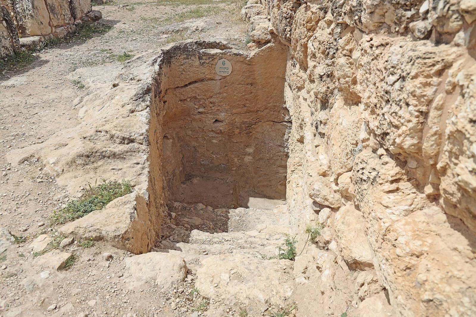
A ritual bath near the public building contained the remains of about 15 people killed in the fighting, including rebels and family members. Ash, burnt wood, bent glass, tools, and coins of the Roman emperors Trajan and Vespasian were found with the bodies. Cut marks on one person’s neck bones suggest possible beheading with a sword.
Cave of Reliefs and reused burial chamber
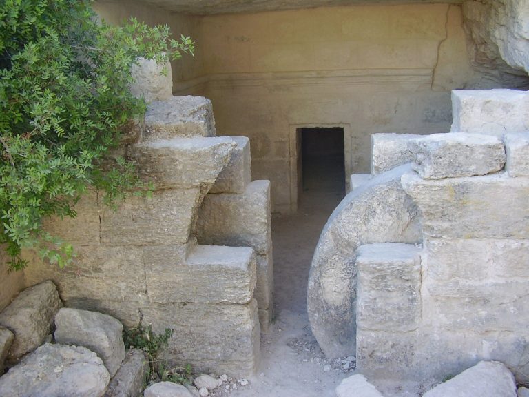
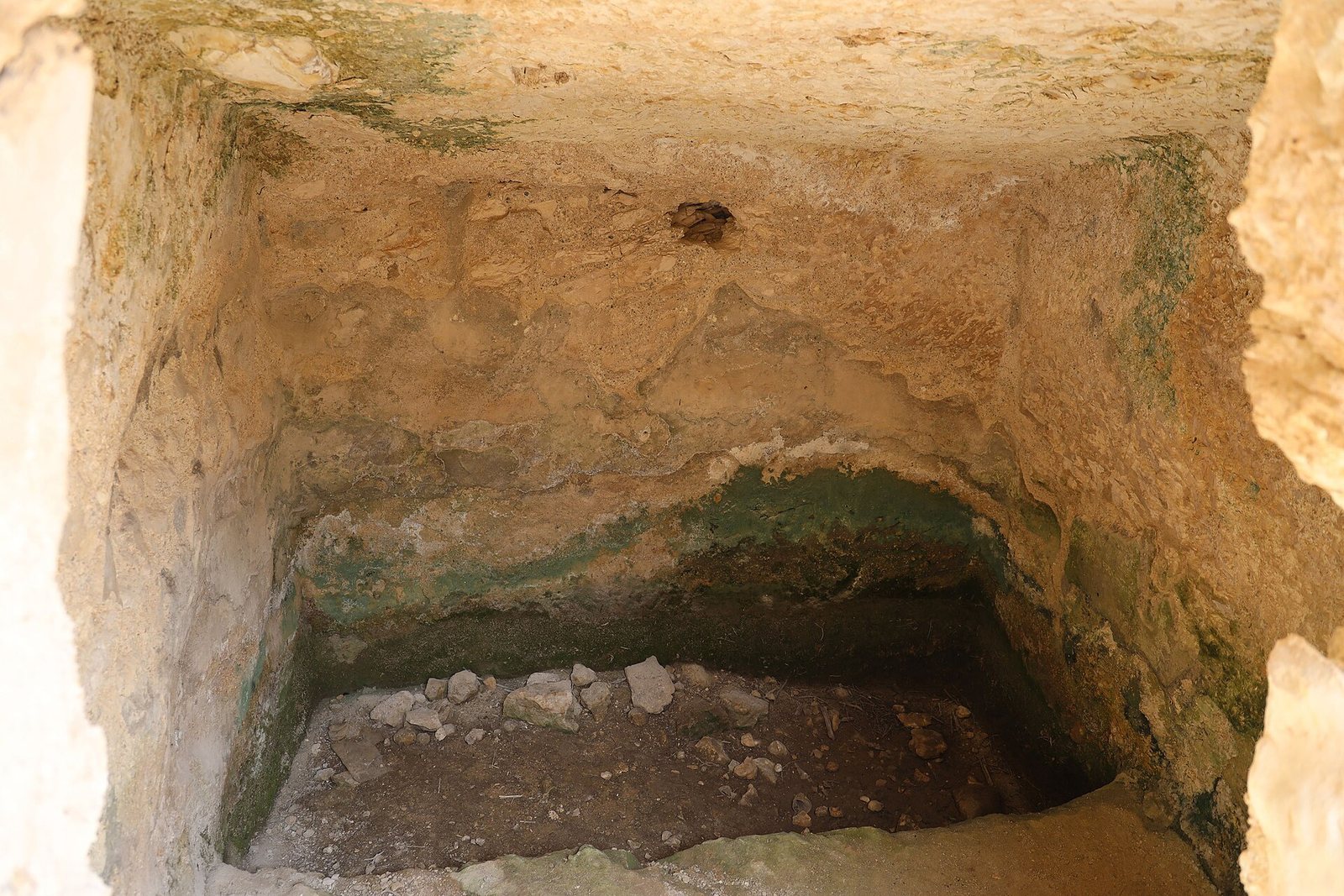
In the northern part of the site, a small hiding complex was adapted into a burial cave shortly after 200 CE. Known as the Cave of Reliefs, it has a large square chamber and three arched burial recesses. Locally carved reliefs on two burial benches show motifs familiar from Roman funerary art, including an amphora, a disk, and columns. The cave can be reached by original steps cut into the rock and by modern metal stairs. Elsewhere, an underground room dating to the first century was converted into a burial cave during the later Roman phase.
Water and production installations
Ritual baths and cisterns
Four ritual baths survive among the site’s water installations. Cisterns served the settlement and also connect to some of the underground hiding complexes. Caves and other spaces were cut into the chalk bedrock.
Wine press
A large rock-cut wine press lies east of the settlement. Its treading floor has a broad circular pit at the centre and a channel leading to a collection vat. The pit may have been cut into the floor later; the press may originally have held a central socket for a screw-operated mechanism.
Evidence of other work
A columbarium, a structure with niches for keeping pigeons, reflects pigeon raising. Loom and spindle weights provide evidence of spinning and weaving. Stone ossuaries, containers for human bones, are also among the remains.
Defenses and finds
Defensive walls
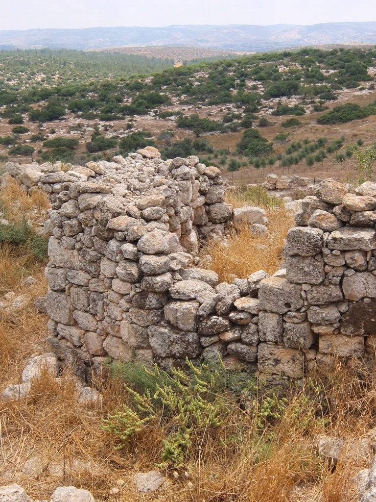
Substantial defensive walls built from massive stones survive at the site.
Coins and inscribed objects
Finds span several periods. Persian-period coins from Yehud, a Persian province, occur alongside a coin minted in Babylon and two imitations of Athenian coins. Hellenistic and Hasmonean material includes small Hasmonean coins and issues of the Seleucid kings Antiochus VII and Demetrius II, struck at Tyre. A silver half-shekel from the third year of the First Jewish–Roman War came from the area designated Complex XIV. Weighing 6.87 grams, it bears the words "Half-Shekel" in Paleo-Hebrew, an ancient script for writing Hebrew. Another bronze coin shows a date palm with the words "El’azar the Priest" on one side, and a cluster of grapes with "Year One of the Freedom of Israel" on the other.