Crisa: A Prehistoric Hilltop Settlement in Greece
Site at a Glance
- Popularity
- Medium
- Country
- Greece
- Primary era
- Bronze Age
- Eras represented
- Bronze Age, Medieval
- Civilizations
- Byzantine, Mycenaean
- Site type
- City
On this page10 sections
History
Crisa is a prehistoric hilltop settlement on Agios Georgios Hill in Greece, on a spur of Mount Parnassus. Occupation began around 1900 BC, during the Bronze Age, and the settlement was destroyed by fire around 1600 BC before later periods of habitation. Its Bronze Age name is unknown, and its association with Delphi and the coastal town of Kirrha has shaped how ancient writers and later researchers understood the site.
Name and early traditions
Crisa is the conventional name for the hilltop settlement, but ancient texts often use Crisa and Kirrha in ways that blur the distinction between the inland site and the coastal town. Pausanias described Kirrha as a later name for Homeric Crisa. Strabo treated them as separate places but placed Crisa on the coast, apparently connecting its name with the Crissaean Gulf. Names for Crisa’s people were also sometimes used for residents of Kirrha.
Ancient stories offered different accounts of Crisa’s beginnings. In the Homeric Hymn to Apollo, Cretan settlers arrive under Apollo’s guidance and become priests at the sanctuary he intends to establish at Pytho, an ancient name for Delphi’s sanctuary. Another tradition says Krisos, a son of the hero Phocus, founded and named the city, after which his son Strophius ruled. In a related legend, Orestes grew up at Strophius’s court alongside Pylades, Strophius’s son by Anaxibia, the sister of Agamemnon.
The Iliad includes Crisa among the Phocian forces in the Trojan War and calls it ‘holy Crisa.’ The sanctuary at Pytho, dedicated to Apollo, a Greek god associated with prophecy and sanctuaries, was closely connected with the city in the Homeric Hymn and later poetry. Poets could also use Crisa’s name to refer to Delphi itself.
Crisa, Kirrha, and Delphi
By the seventh century BC, Crisa had become an influential city. It controlled the fertile plain between the mountains and the coast, along with the sanctuary at Pytho before Delphi developed as an independent city-state. Metapontium in southern Italy was traditionally said to be a colony founded from Crisa. As Kirrha grew and Delphi became more prominent, Crisa declined; some of its inhabitants may have moved to one or both of those neighboring places. Kirrha served as Delphi’s port from the Archaic period, an early era of Greek history dated roughly 800 to 480 BC, into the Late Roman period.
Ancient accounts connect Crisa or Kirrha with the First Sacred War, a conflict framed around control of a sanctuary and its lands. They say a coalition involving the Amphictyony, a religious and political association linked to shared sanctuaries, as well as Sicyon and Athens, captured and destroyed the coastal town around 590 BC. The reported grievances included taking sacred land and charging tolls to travelers. The conflict’s historicity is questioned, and it may have been devised later to establish a precedent for the Third and Fourth Sacred Wars. The hilltop settlement had already ended before the Archaic period, so the war tradition does not establish that a fortified city on this hill was destroyed around 590 BC.
Traditions also associate the coastal town’s destruction with the dedication of the smaller plain near Kirrha to Apollo. The limits of that consecrated land were inscribed on a wall at Delphi’s sanctuary.
Later occupation and identification
The hill was briefly settled again in the fifth or sixth century AD, during the Byzantine period, the medieval continuation of the Roman Empire in the eastern Mediterranean. The settlers may have come from nearby Kirrha, which was then abandoned.
In the early nineteenth century, John Squire identified the hilltop ruins with Crisa, drawing a connection to the name of nearby Chrisso. William Martin Leake later supported the identification by relating the Homeric Hymn to Apollo to the hill’s landscape. The French School of Athens excavated the site in 1936 and 1937, initially interpreting it as the Archaic city destroyed in the First Sacred War.
Remains
Hill setting and settlement fabric
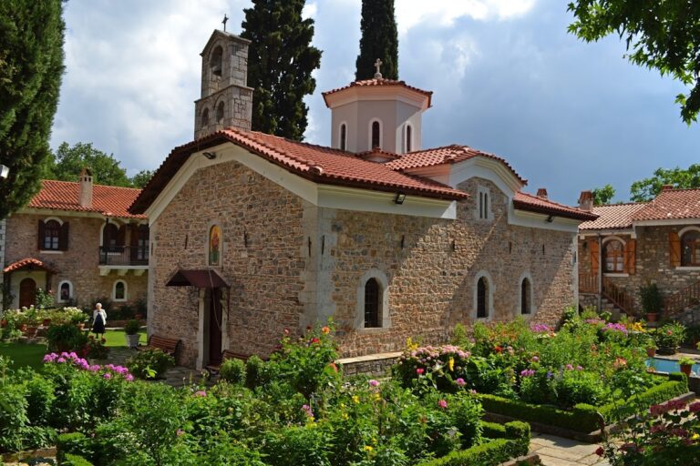
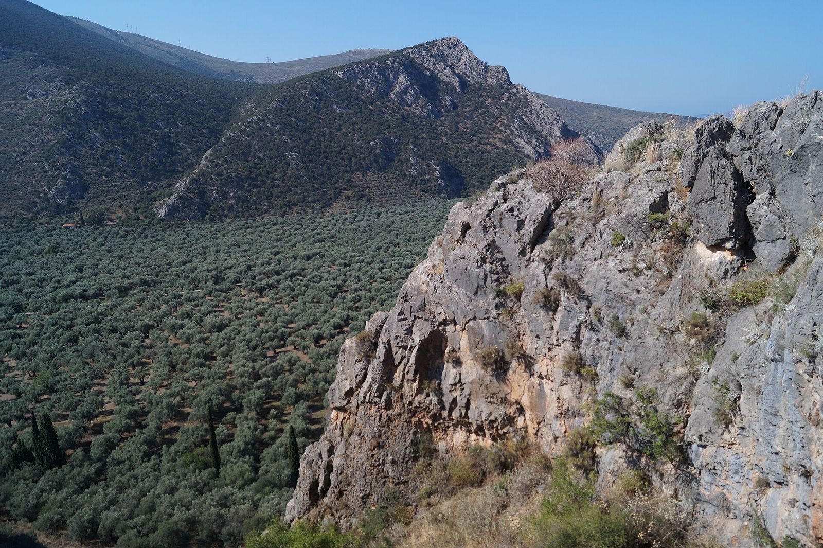
The settlement occupies a rocky height also known as Stefani Hill. The Church of Agios Georgios stands there and gives the hill its present name. The southern slope falls about 50 metres toward the Pleistos valley, while the site lies roughly four kilometres southwest of Delphi, one kilometre south of Chrisso, and 4.5 kilometres north of the Gulf of Corinth. It overlooks a fertile plain bounded by Mount Parnassus to the north, Mount Cirphis to the east, and the mountains of the Ozolian Locrians to the west. The plain reached south toward the gulf and Kirrha, and west toward Amphissa.
Ancient names for the plain included the Crissaean and Cirrhaean plains. In narrower usage, the Cirrhaean plain meant the smaller coastal area near Kirrha, separated from the larger Crissaean plain by two ridges; in broader usage, Crissaean included both. The settlement also gave its name to the Crissaean Gulf, a name sometimes used in early times for the whole Corinthian Gulf.
Houses and burials
Early houses were made from small stones and unfired mud bricks. Graves from the Middle Helladic period, a subdivision of the Bronze Age in Greece, lay among the houses. Most were stone-cist graves, burial places lined with stone slabs, while children were sometimes buried beneath house floors.
During the later Bronze Age phase called Late Helladic I, some buildings were placed over or cut into earlier structures, and parts of the older settlement were reused. The inhabited area gradually expanded again. Remains include small buildings and three megarons, large principal buildings arranged around central halls. Traces of stairs suggest that one may have had an upper storey.
Main fortification
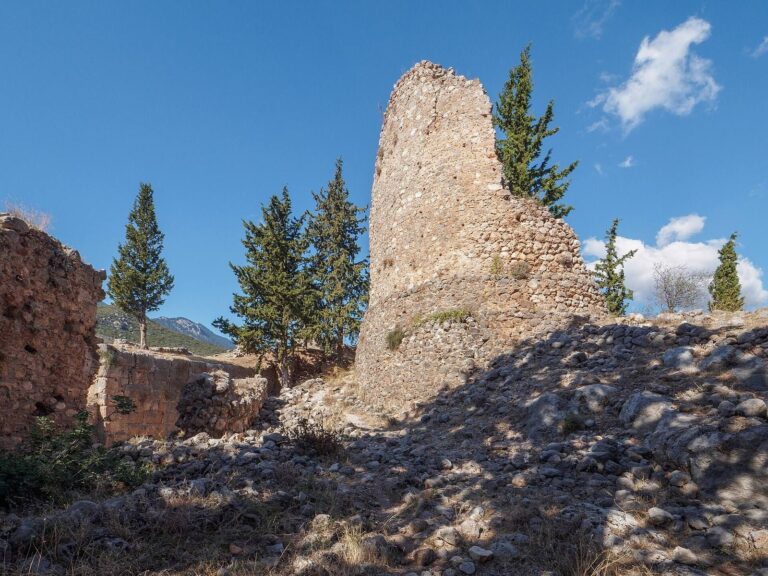
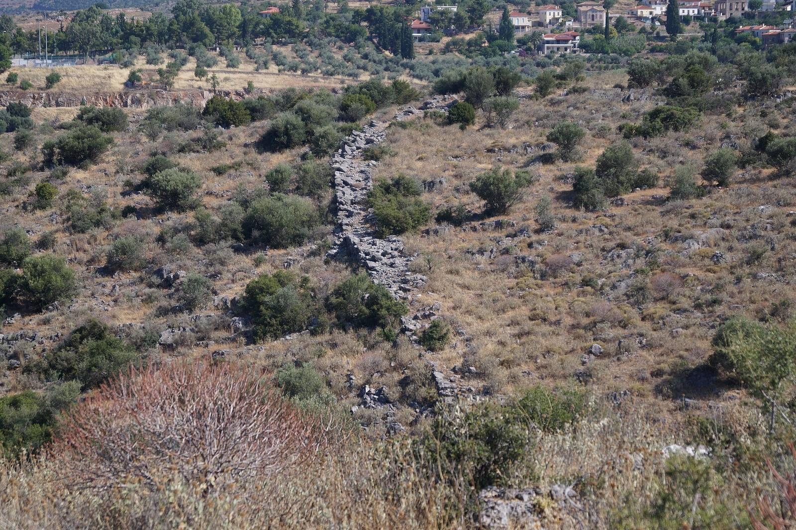
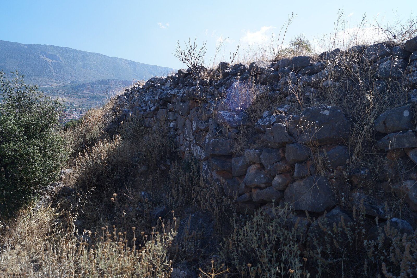
A defensive wall, built around 1300 BC, enclosed the western, northern, and eastern sides of the settlement. It extended for about 500 metres and was approximately 3.5 metres thick. The steep southern slope was left without a wall. A small gate stood on the western side, while the main entrance was on the east, near the Church of Agios Georgios.
Northeastern enclosure
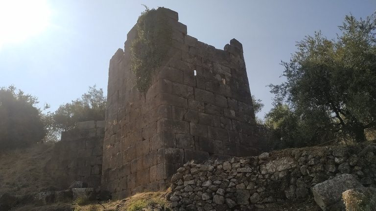
A second defensive wall, about 6.2 metres thick, joined the northeastern part of the main circuit. It ran east, turned north, and curved toward the steep eastern slope. A gate opened on its northern side, and the enclosed area appears to have remained unbuilt. Surviving walls of fitted polygonal stones rise to about three metres. The northern stretch is more than five metres thick, while the western stretch is nearly four metres thick.
Byzantine reuse and shrine finds
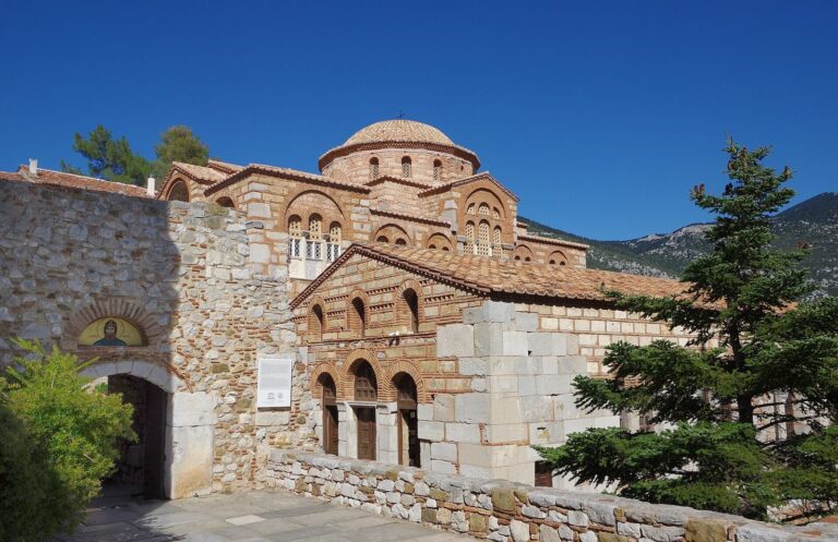
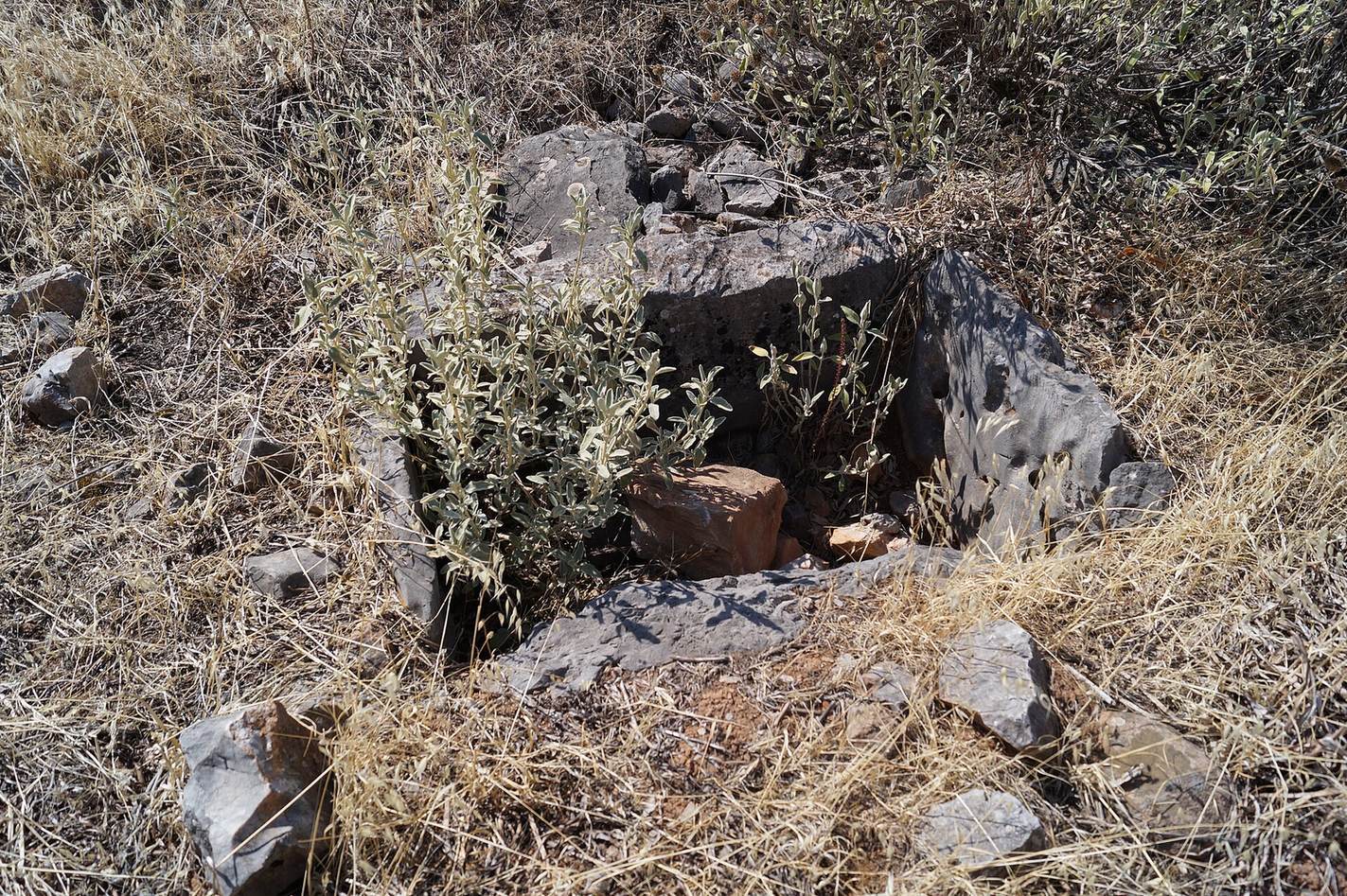
During the brief Byzantine resettlement, the inhabitants repaired and strengthened the earlier fortifications and built houses over ancient walls. Small ancient shrines are also among the remains. An altar dedicated to Athena and Hera was brought to the hill from Delphi’s sanctuary, so it does not establish that the hill was occupied during the Archaic period.