Tell Beit Mirsim: An Ancient Settlement Mound in Israel
Site at a Glance
- Popularity
- Medium
- Country
- Israel
- Primary era
- Iron Age
- Eras represented
- Bronze Age, Iron Age
- Civilizations
- Israelite
- Site type
- City
On this page12 sections
History
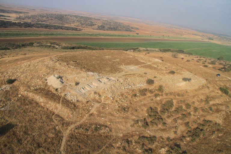
Tell Beit Mirsim is an ancient settlement mound in Israel’s eastern Lachish region, near the boundary between the Shephelah, the lowland foothills between the coastal plain and central highlands, and Mount Hebron. Its occupation extended from the late third millennium BCE to the Iron Age, when the town was destroyed during the Babylonian invasion of 587 BCE.
Bronze Age occupation
Excavations distinguished ten or eleven layers of settlement, beginning with Stratum J, from Early Bronze IIIB, and Stratum I, from Early Bronze IV, an intermediate period. Stratum H belongs to Middle Bronze I; Strata G and F to Middle Bronze IIA, with G dated to about 1820 BCE. Stratum E represents Middle Bronze IIB, while Stratum D, dated to about 1590 to 1550 BCE, belongs to Middle Bronze IIC. These last two phases are associated respectively with the early and late Hyksos periods. The Hyksos were rulers of parts of Egypt and the southern Levant during the Second Intermediate Period. Stratum C represents Late Bronze I and II.
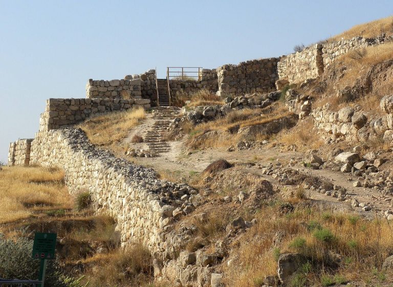
In the nineteenth century BCE, the town had a wall and rampart. Both were destroyed and rebuilt during the Hyksos period, and the wall was destroyed again in the mid-sixteenth century BCE. A defensive line was later established along the tell’s summit during the Late Bronze Age. It ended with destruction at the close of the thirteenth century BCE, after which the site remained unoccupied until the first half of the tenth century BCE.
Iron Age settlement
In the first half of the tenth century BCE, a new wall enclosed the town. Its gates and tower remained in use until the Babylonian invasion destroyed the site in 587 BCE. The excavated sequence includes Stratum B, from Iron Age I, and Stratum A, from Iron Age II. Excavators placed the sequence’s latest occupation at around 589 BCE.
In the ninth and eighth centuries BCE, the town’s population was estimated at about 700 by archaeologist William G. Dever. From the tenth century BCE onward, its layout followed a pattern associated with the Kingdom of Judah, an ancient kingdom in the southern Levant.
Excavation and later history
William F. Albright excavated the site in four seasons, in 1926, 1928, 1930, and 1932. Pottery helped distinguish the settlement layers, and the published collection became a long-standing archaeological reference for the region. Albright proposed that the site was the biblical city of Debir, also known as Kiryat Sefer, and hoped to find an ancient archive there. Archaeologists do not accept this identification; Khirbet Rabud is considered a more likely location for Debir.
The tell lies near the Israel-Jordan armistice line. On 10 May 1966, a Jordanian attack in the area targeted an Israeli Defense Forces engineering unit sent to mark the border. Later construction of the separation barrier damaged the tell and led to salvage excavations. The barrier now separates the site from Beit Mirsim village, and some village residents have looted antiquities from the mound. Hebrew University of Jerusalem excavated there again in 2023 and 2024.
Remains
The remains include successive systems of town defenses on the tell, as well as settlement features and finds in the surrounding area. The Iron Age wall’s measurements and paired walls provide evidence for the town’s layout, while other finds extend the archaeological picture beyond the mound.
Town defenses
Bronze Age defenses
The Middle Bronze Age town was enclosed by a wall and rampart. Stratum G is associated with particularly strong fortifications. In the Late Bronze Age, a separate defensive line ran along the summit of the tell.
Iron Age wall and gates
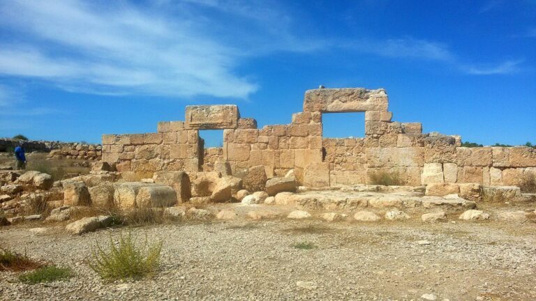
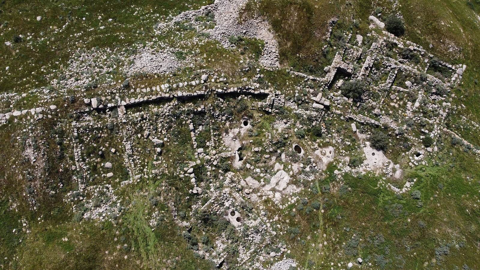
The Iron Age II town wall used a casemate design, with parallel inner and outer walls and chambers between them. The outer wall averaged 1.5 metres thick, the chambers were about 2 metres wide, and the inner wall was 1 metre thick. Gates stood on the eastern and western sides of the town, with a tower beside the western gate. The town plan is also known at Beit Shemesh, Tell en-Nasbeh, Khirbet Qeiyafa, and Beersheba.
Settlement structures and nearby remains
House and olive-oil production
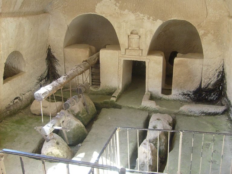
Excavations by Hebrew University in 2023 and 2024 uncovered a four-room house and an olive-oil press. Installations at the ruin had earlier been interpreted as equipment for olive-oil production by Gustaf Dalman, a scholar of Palestine; archaeologist David Eitam later supported that interpretation.
Church north of the village
North of Beit Mirsim village, remains of a church dated to the end of the Byzantine period were found alongside wall remains from later periods. Pottery fragments from the Byzantine, Early Islamic, Crusader, and Mamluk periods were also recovered in the area.
Features southeast of the tell
Southeast of the mound, archaeological features include a drainage pit connected to a cistern, a complex winepress, and a Roman burial cave.