Jattir: An Archaeological Settlement in the Southern Hebron Hills
Site at a Glance
- Popularity
- Medium
- Country
- Israel
- Primary era
- Medieval
- Eras represented
- Iron Age, Classical, Medieval
- Civilizations
- Byzantine, Israelite, Roman
- Site type
- City
On this page9 sections
History
Jattir is an archaeological settlement in the southern Hebron Hills of Israel. Evidence indicates occupation at different times from the Chalcolithic to the Mamluk period, while biblical tradition associates the town with Judah and later accounts describe a Christian community there.
Early occupation and biblical traditions
Archaeological evidence points to occupation during the Chalcolithic, or Copper Age, the Early Bronze Age, and the Iron Age, an archaeological period named for its characteristic metal. Iron Age occupation dates from the seventh century BCE. Evidence also belongs to the Persian period under Achaemenid rule and the Hellenistic era of Greek cultural influence after Alexander the Great. Settlement continued as late as the Mamluk period, named for the dynasty that ruled Egypt and parts of the eastern Mediterranean.
The Hebrew Bible places Jattir in the hill country of Judah and says that Joshua, the Israelite leader associated with the settlement of Canaan, and Eleazar, Aaron’s son and a high priest, allotted the town to Aaron’s descendants, the priestly line. About four centuries later in the biblical narrative, King David shared some of the spoils from his battle with the Amalekites with Jattir’s elders.
Roman and Byzantine periods
The settlement appears to have been destroyed at the end of the Bar Kokhba revolt, a second-century Jewish uprising against Roman rule led by Simon bar Kokhba. In the fourth century CE, Eusebius of Caesarea identified Jattir with Iethira. He described it as a very large, wholly Christian village in the inner Daroma, the southern district of Judea, near Malaatha and about 20 miles from Eleutheropolis, now Beit Guvrin. Jattir became a large, prosperous Christian settlement during the Byzantine period, the era of the eastern Roman Empire.
Jattir appears on the seventh-century Madaba Map, an early Christian mosaic map of biblical lands.
Identification and archaeological study
Edward Robinson identified biblical Jattir with Khirbet Attir, also called Horvat Yattir, southwest of Hebron. Victor Guérin instead proposed Yater in Lebanon. In 1806, Ulrich Jasper Seetzen heard of an inscription and building remains at Khirbet Attir, possibly a church. Robinson described the site as a ruin in 1838.
Zvi Ilan surveyed the site from 1987 to 1989, and excavations took place from 1995 to 1999.
Village and later changes
A small Palestinian village also stood at Khirbet Attir. It was depopulated during the 1948 Arab-Israeli War, the conflict between Arab and Israeli forces in that year, and its lands were occupied during the war. No Israeli settlement was established there immediately afterward, although pine and cypress groves were planted later. Construction of the Israeli separation barrier in the 2000s left the site isolated and access restricted.
Remains
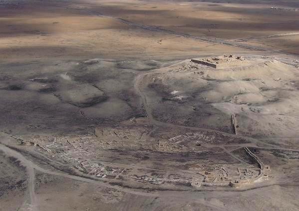
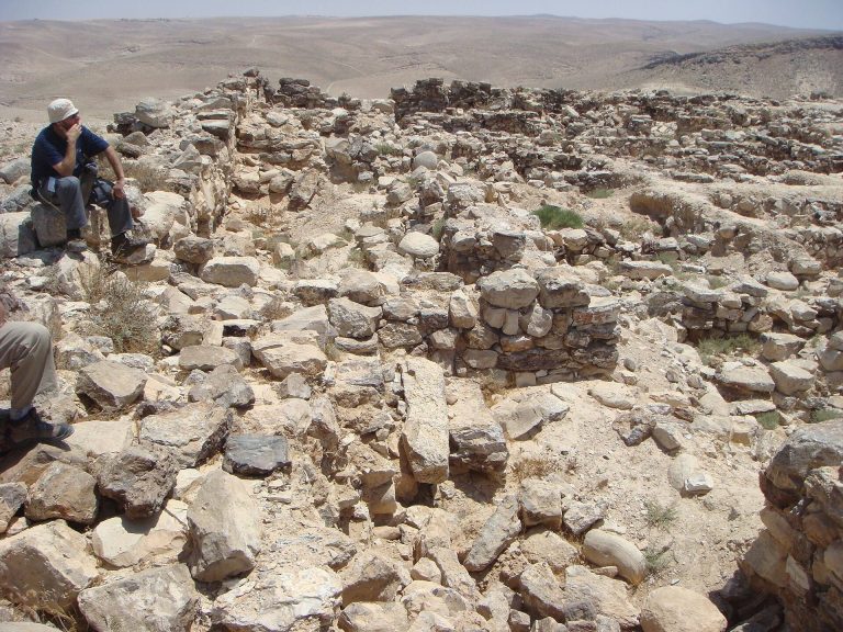
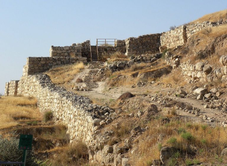
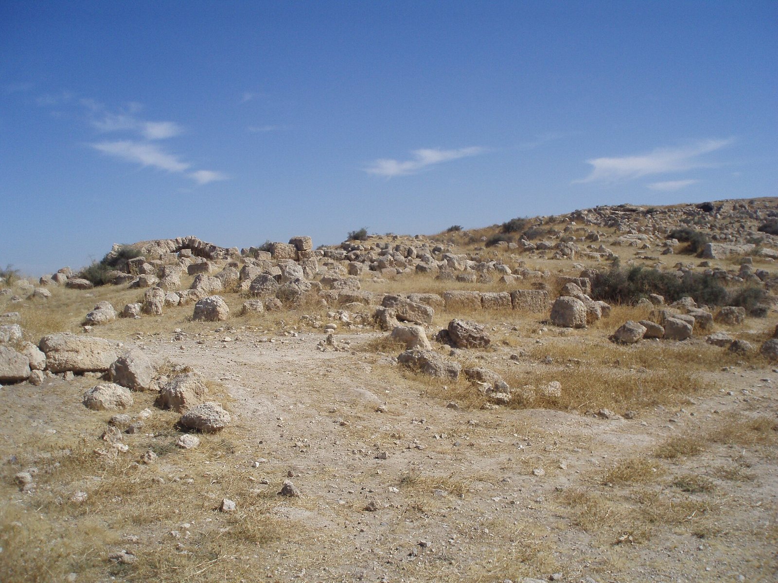
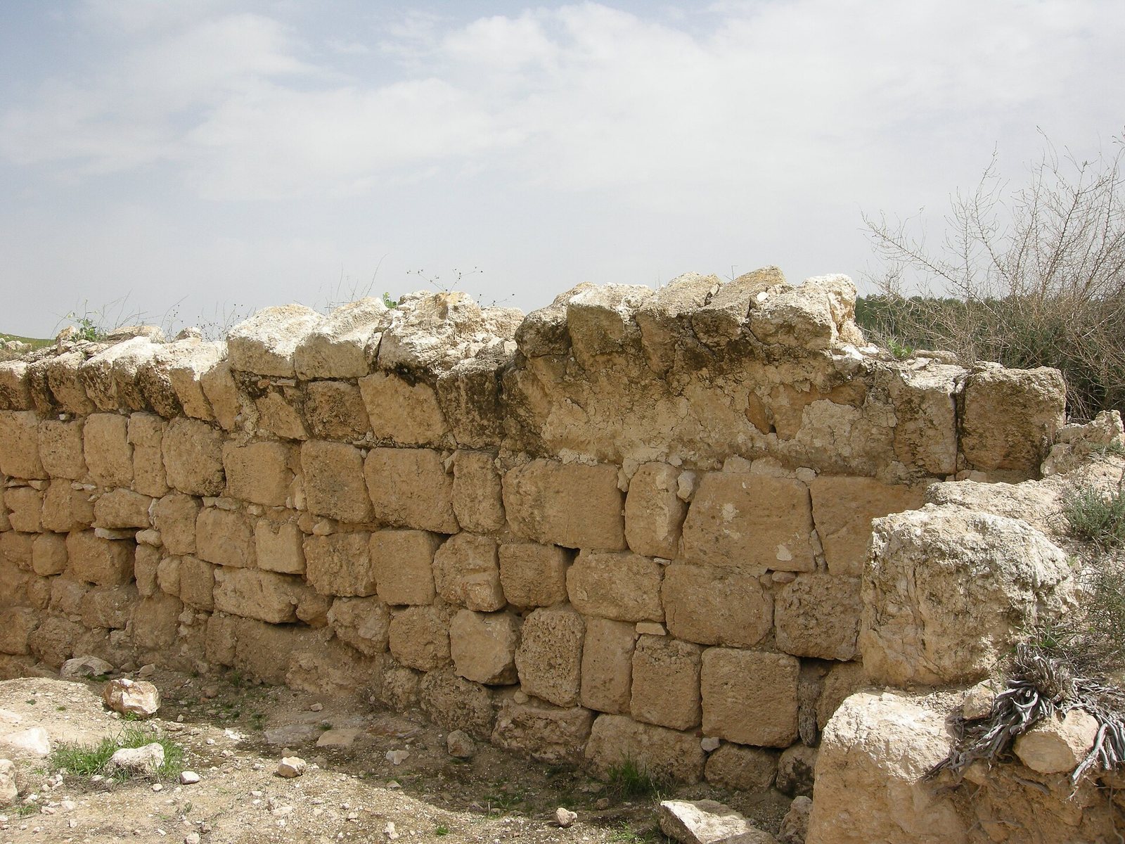
The site occupies a position that commands its surroundings, in an area historically noted for fertile land extending toward the northern Negev. Its settlement buildings were made from finely dressed, squared stone blocks.
Churches
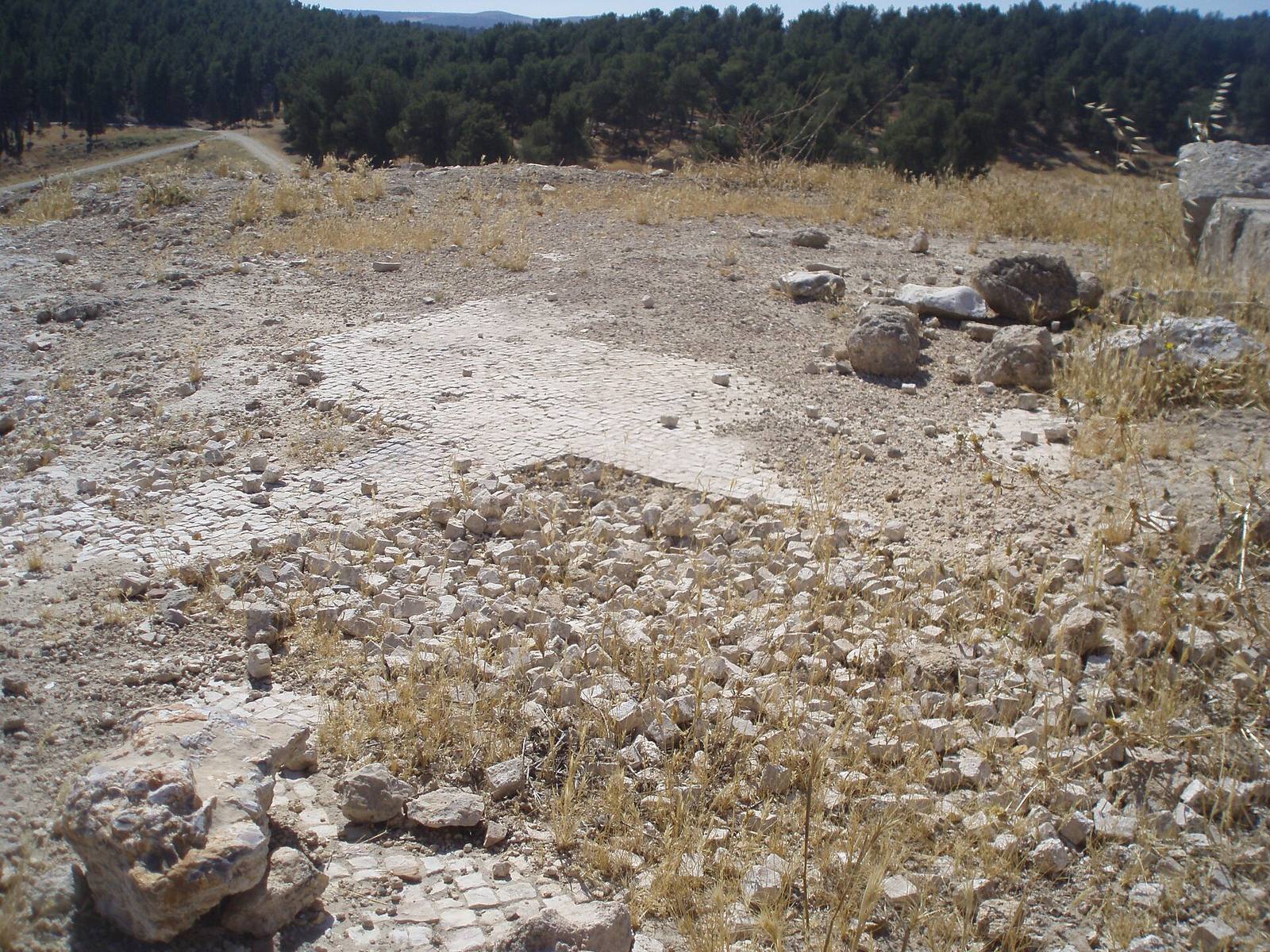
Excavations uncovered two Byzantine churches, part of the Roman and Byzantine architectural remains at Jattir.
Public building
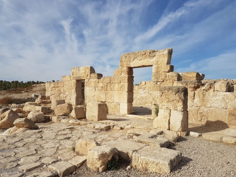
A prominent public building faces Jerusalem, and its overall form has been compared with a building at ancient Maon in the Negev. Its function remains uncertain: it has been proposed as a synagogue, although one dating places its construction before Eusebius’s account and another places it afterward. The north wall has been destroyed; a niche for a Torah ark, the cabinet used to store Torah scrolls in a synagogue, was expected there. Lintels, the horizontal stones spanning openings, carry carved rosettes and raised-square designs compared with motifs at Susya. Nearby fragments include column arches with vine-tendril medallions and heart-shaped columns of a type associated with the front of a Torah-ark platform. The building’s orientation, public character, and architectural fragments have been cited in support of the possible synagogue identification. A smaller Jewish community may have lived alongside the Christians.
Settlement structures and agricultural features
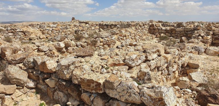
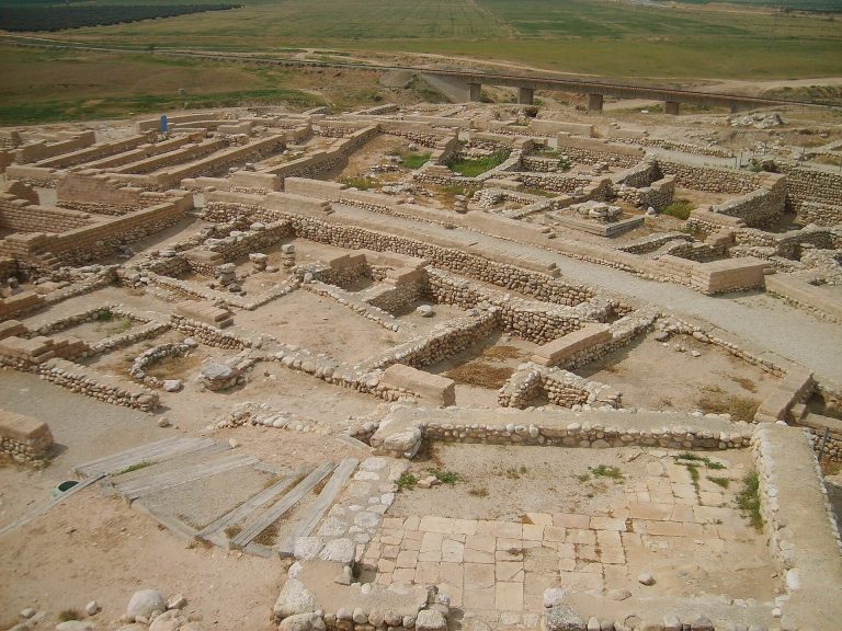
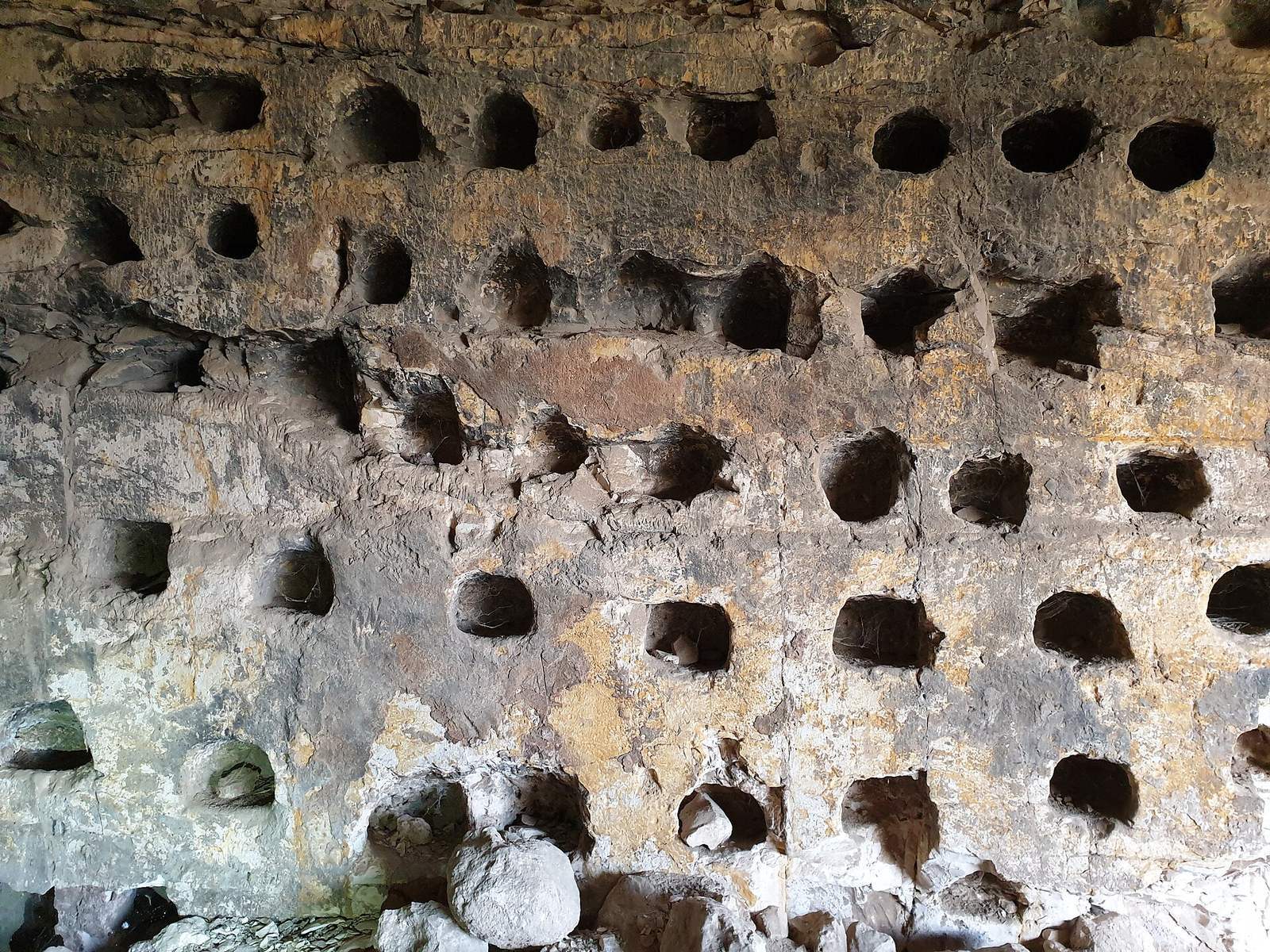
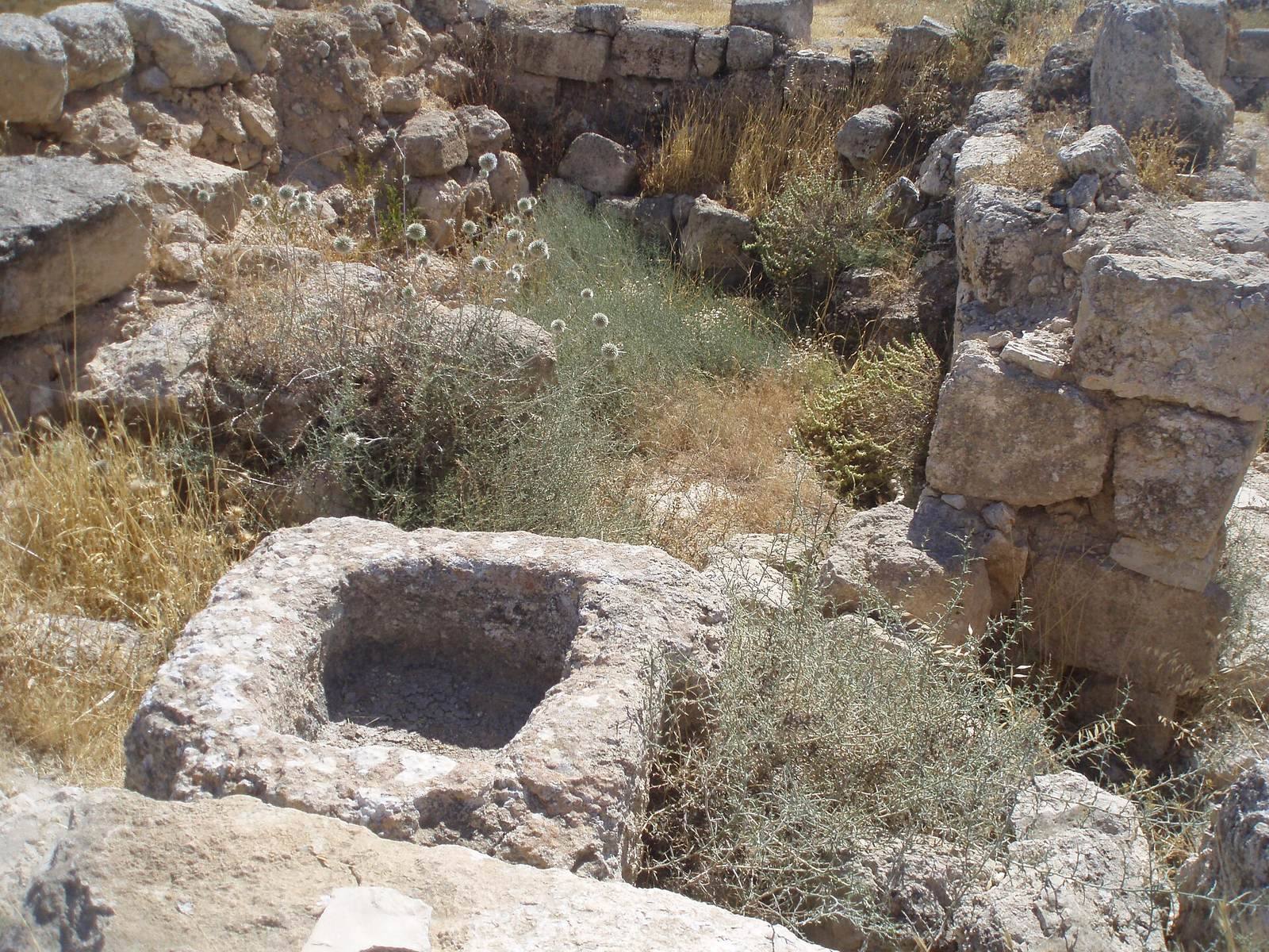
Nineteenth-century descriptions include foundations, stone heaps, numerous caves, a ruined masonry tomb, fallen column shafts, and water cisterns, or storage tanks for collected water. The site also had a small shrine and a large building with four courses of walling still visible. A large oil press was cut into the hillside below. Pottery sherds from Jattir have been interpreted as evidence of an Israelite settlement.