Kytayivsky Archaeological Complex: A Kyivan Rus Hillfort and Monastic Landscape
Site at a Glance
- Popularity
- Low
- Country
- Ukraine
- Primary era
- Medieval
- Eras represented
- Medieval
- Civilizations
- Kievan Rus
- Site type
- Military
- Remains
- Fort
On this page14 sections
History
Early occupation and the Rus stronghold
The Kytayivsky Archaeological Complex is an archaeological landscape on the southern outskirts of Kyiv, Ukraine, centered on a fortified settlement of Kyivan Rus, the medieval East Slavic polity based in Kyiv. The hillfort served as a major military stronghold in the tenth century. The earliest activity belongs to the late Trypillian Sofiivka period, an archaeological phase identified through material remains, around 3200/3100–2800 BCE. Later traces reflect the Volyntsevo culture, another grouping identified through artifacts, in the eighth and ninth centuries.
During the Rus period, the fort occupied a strategic position south of Kyiv, where routes leading farther south met. It was the largest fort in a chain along the Dnieper’s right bank, which guarded southern roads and helped warn the city of raids. Burials of members of princely retinues point to the stronghold’s connection with princely authority in the tenth century.
A settlement across the stream had its own defenses before the hillfort was fortified. Those defenses were dismantled in the early eleventh century. In the later Rus period, the settlement served as the hillfort’s posad, meaning a settlement beyond a fortified center. Its extensive area indicates that it supported a substantial community.
Later medieval use
The Mongol invasion of Rus, the thirteenth-century campaigns against its principalities, destroyed the hillfort. Activity across the wider complex continued afterward, with settlement remains belonging to the fourteenth and fifteenth centuries. This later phase is described as the Lithuanian period, a regional label for the era associated with Lithuanian rule.
Monastic use and medieval identifications
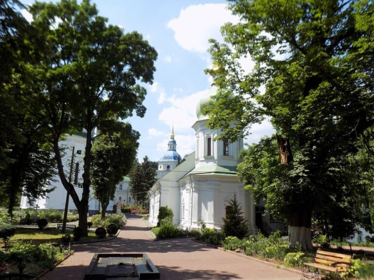
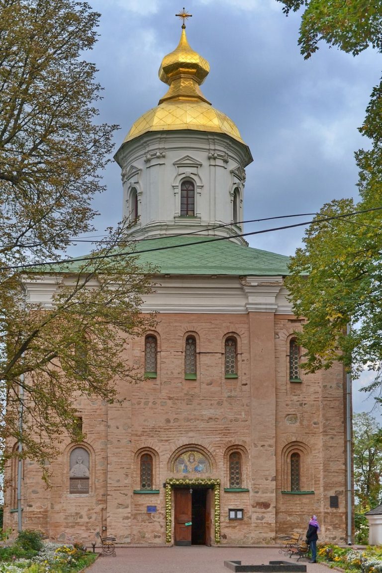
Hermit monks lived in the caves during the sixteenth and seventeenth centuries. The Kytayiv Hermitage, a monastic retreat, was established in the seventeenth century on the stream’s left bank, opposite the hillfort.
Some researchers identify the complex with Peresichen, a Rus town named in records from 1154 and 1161 and in the List of Rus’ Cities, Near and Far. Archaeologist P. A. Rappoport proposed that it was Zvenigorod of Kyiv, but most researchers locate that town at a hillfort near Vita-Poshtova.
Archaeology and modern pressures
The name “Kytayiv hillfort” came into use in 1784. Archaeologist Dmytro Yakovych Samokvasov began investigations in 1874, followed by further work in 1914, 1947, 1961, 1973, 1986 and 2017. Ivan Ivanovych Movchan led investigations in 1973 and 1986, and Hlib Yuriyovych Ivakin worked at the site in 2017. Caves on the hillfort grounds were discovered in 1858.
The complex has been under state protection since 1965 and was designated an archaeological monument of national significance in 2009. In 2004, Kyiv City Council leased two plots in the hillfort area for commercial agriculture; the leaseholder later contracted with a developer. In February 2024, the Kyiv City Commercial Court transferred the plots for residential and public buildings, shopping and entertainment centers, offices and parking, rejecting a suit by the Prosecutor General’s Office to cancel the transfer. A preservation petition launched by residents that spring reached the required number of signatures, as development continued to threaten the site.
Remains
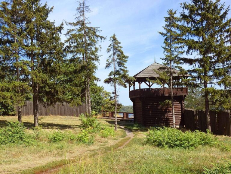
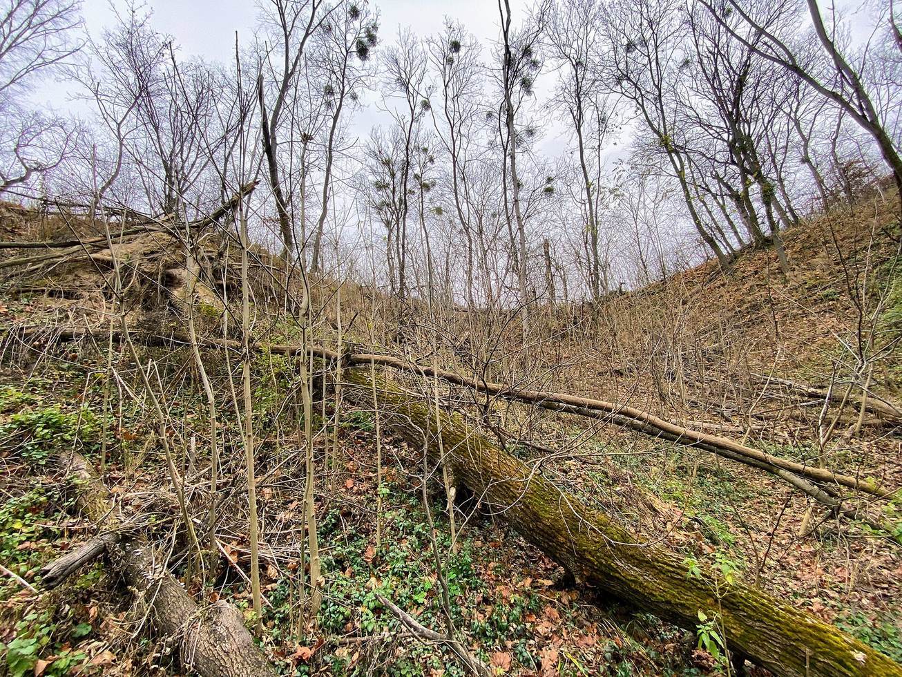
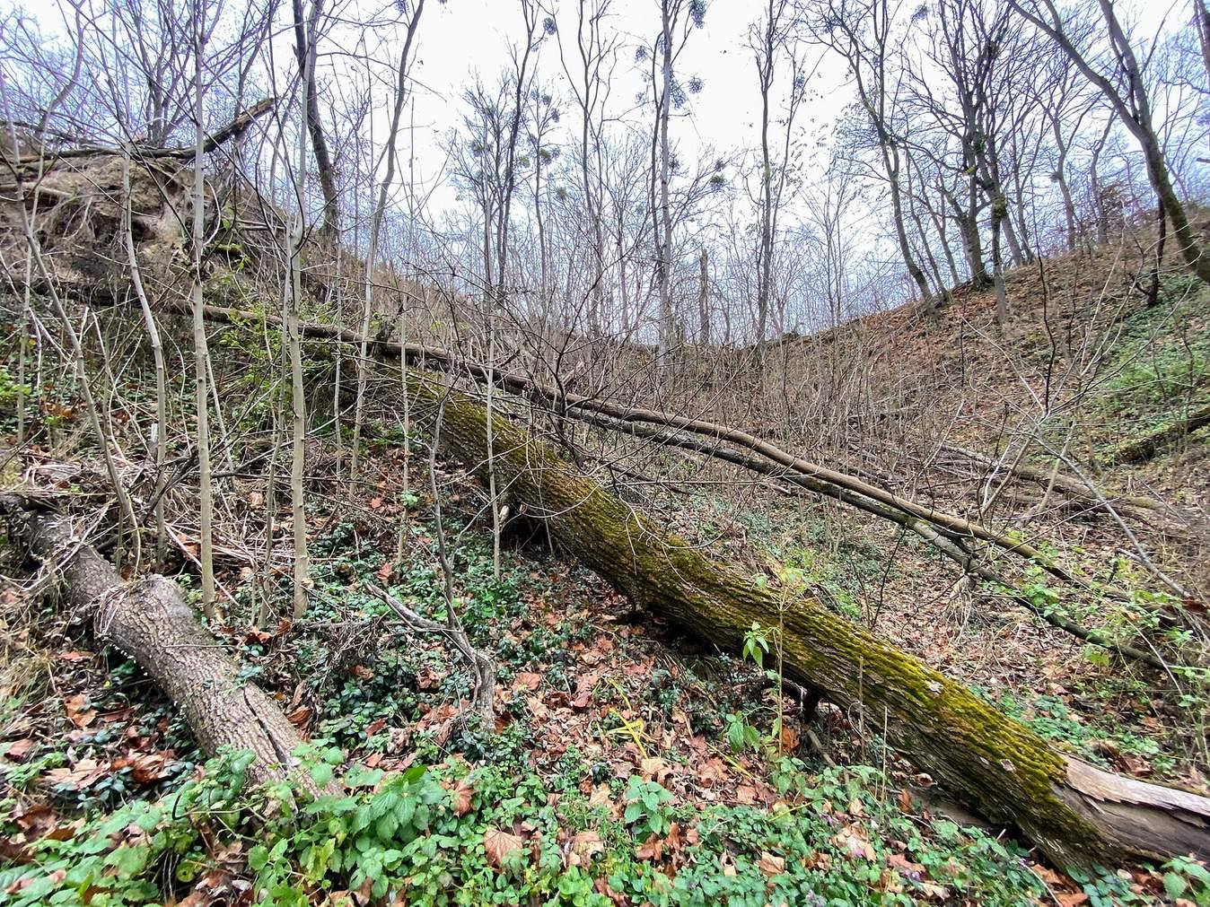
The complex covers about 75 hectares and brings together a hillfort, an unfortified settlement, burial grounds and cave groups. It stands on Kyiv’s southern outskirts, at the eastern edge of Holosiiv Forest, beside Holosiivskyi National Nature Park. The fortified hill projects from a plateau, with the Dnieper valley to the east and a stream valley along its northern and western sides. Its defenses consist of earthen ramparts and ditches, with steepened slopes used as additional barriers.
The hillfort
Covering several hectares, the hillfort is divided into five fortified sections. Its central enclosure, the detinets (the fortified core of a Rus town), occupied the northern half of the flat summit. A second section adjoined it to the south, where a substantial rampart protected the boundary. An outer rampart enclosed both areas before descending northeast of the central enclosure to defend the largest section on the slope. Two smaller fortified sections lay farther south, where the hill meets the plateau. The sole entrance was on the north; an additional rampart there may have formed a protected passage beyond the main defenses. Overall, the fort had three lines of ramparts and ditches. Its arrangement resembles a late tenth-century Rus watch-fortress type: a citadel, or central fortified enclosure, could house a permanent garrison, while its larger outer area could shelter reserves or nearby residents in danger.
Settlement and burial areas
The outer settlement
An unfortified settlement extended across about 35 hectares around the hillfort. Finds from it include material of the late Trypillian Sofiivka type and objects from the Rus and Lithuanian periods. Handmade pottery associated with the Volyntsevo culture comes from its southwestern part. The hillfort’s cultural layer includes Zarubintsy-culture pottery and fragments from the Rus period.
Burial mounds
Two groups of burial mounds cover areas of about 1.5 and 2.5 hectares and contain 193 and 173 burials, respectively. The mounds date from the tenth to the beginning of the eleventh century. Most stand between 0.5 and 1 metre high; the largest reaches 2 metres in height and 20 metres across.
Settlement beside the ravine
A separate settlement area of about 2.5 hectares lies on a slope between the mound groups, beside a ravine leading toward the Dnieper valley. It was occupied during the Rus period. A monastery farm with a vineyard was later established there.
Cave groups
Caves within the hillfort
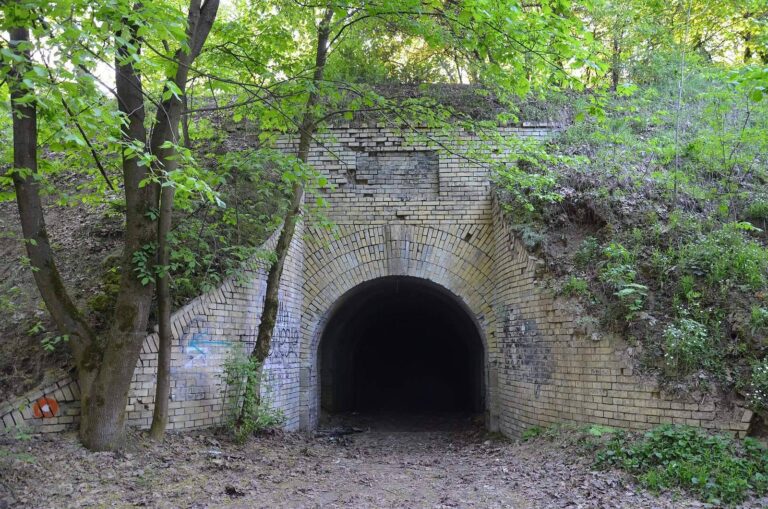
One cave group lies within the hillfort’s hill and forms a two-level labyrinth of living, service and religious spaces. The caves may have originated in the Rus period and could have served as a concealed way out of the stronghold. Material from the caves dates to the eighteenth and nineteenth centuries.
Vineyard caves
A second group lies in the Vineyard tract associated with the monastery farm. These caves served as cellars and icehouses for food storage.