Volokytyne Hillfort: A Slavic Archaeological Complex in Ukraine
Site at a Glance
- Popularity
- Very Low
- Country
- Ukraine
- Primary era
- Medieval
- Eras represented
- Medieval
- Civilizations
- Kievan Rus
- Site type
- Military
- Remains
- Fort
On this page9 sections
History
Volokytyne Hillfort is a Slavic archaeological complex on the southwestern edge of modern Volokytyne, Ukraine. Associated with the Romny culture, an early medieval culture of Slavic communities in the Dnieper left-bank region, it took shape in the ninth century and was occupied from the ninth through the thirteenth century.
Formation and medieval rule
The complex’s barrow cemetery, a group of earthen burial mounds, ceased to function around the beginning of the eleventh century, when the Putivl lands in the Seim basin became part of Rus-Ukraine, the medieval polity commonly called Kievan Rus in English. After the Battle of Listven in 1024, the left-bank Dnieper region became part of the Principality of Chernihiv. Following Prince Mstislav’s death, these lands were united under Yaroslav the Wise. As Rus-Ukraine fragmented in the late eleventh century, the principalities of Novgorod-Seversk and later Putivl emerged in the Chernihiv-Severian region.
Destruction and later use
The hillfort ceased functioning in autumn or early winter 1239, amid the Mongol-Tatar destruction of Chernihiv and devastation of the Severian lands. The Severians were an East Slavic people associated with the Seim and Desna river region.
Documents from the late sixteenth to the first half of the seventeenth century describe the site as a watch post at the Volokytni crossroads. In 1718, Peter I, also known as Peter the Great, granted the complex, estates, and lands to Opanas Hrushynskyi for his service. Hrushynskyi belonged to the officer class of the Zaporizhian Host, a Cossack polity also known as the Hetmanate. The grant mentioned a ferry on the Kleven River and Hrushynskyi’s lower dam opposite the hillfort.
Damage, research, and protection
Ploughing and construction of the Horodyshche settlement during the second half of the nineteenth century nearly destroyed the site. The landowner Oleksandr Miklashevskyi ordered villagers to excavate most of the mounds then remaining. They destroyed the burials and discarded the grave goods.
Dmytro Samokvasov surveyed the complex and excavated nine barrows in 1873, producing its first description and identifying two fortified parts. Research continued in the early twentieth century, and Samokvasov published an account in his monograph Graves of the Russian Land. In 1931, Yakiv Morachevskyi led a museum-organized survey around Hlukhiv and in the Kleven and Esman river basins. Dmytro Berezovets excavated eight mounds in 1950–1951, classifying the cemetery among Severian antiquities and dating it to the seventh through ninth centuries. Viktor Pryimak surveyed the complex in 1986, 1988, and 1992, including the settlement and cemetery in his mapped area. Further surveys took place in 2012 and 2021. The complex entered the regional state inventory in 1994 and Ukraine’s State Register of Immovable Monuments in 2020 as a local-significance archaeological monument.
Remains
Hillfort and settlement
The complex occupies the right bank of the Kleven River and has a roughly triangular plan, measuring about 77 by 43 metres. The hillfort’s northern, field-facing side adjoins a settlement dating to Old Rus, the medieval East Slavic polity. The barrow cemetery lies southwest and west of the fortified area. A ravine separates it from a former habitation area associated with the Severians and the Romny culture. A description from 2021 identifies one defensive line, formed by an earthen rampart and ditch; plans by Pryimak show two lines, in keeping with Samokvasov’s earlier identification of two fortified parts. An active cemetery occupies the eastern part of the settlement area, while the remainder is used for haymaking.
Barrow cemetery
Extent and burial practices
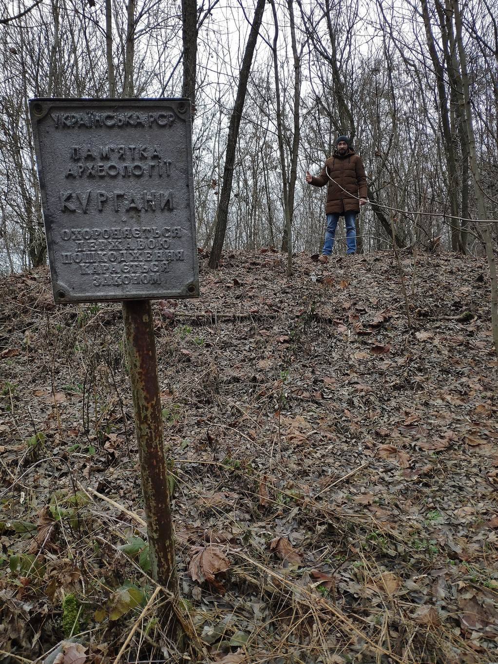
Samokvasov described hundreds of mounds extending from the hillfort toward Shcherbynivka. Counts made at different times vary: 18 mounds remained after nineteenth-century damage, Pryimak’s plan marked 24, and 11 were counted in 2021. Riverbank erosion had cut away parts of some mounds. In Samokvasov’s excavations, two burials were inhumations, meaning uncremated bodies buried at the ancient ground surface. The others were cremations, with the ashes placed in urns. In the 1950–1951 work, four of the eight mounds had no trace of burials; the others contained both cremation and inhumation burials. A barrow on the cliff along the Kleven’s right bank was also excavated by Pryimak.
Finds
Finds included handmade and wheel-thrown pottery associated with the Romny and Old Rus cultures. Objects gathered from spoil heaps included several glass beads with gold foil, a buckle, and a temple ring, an ornament worn at the side of the head. A skull with a neck torc, a rigid neck ornament, came from the surviving portion of one mound. Of the recovered artifacts, only two bone awls and an axe survived.