Hlukhiv Fortress: A Medieval Defensive Stronghold in Ukraine


Site at a Glance
- Rating
- 4.7
- Popularity
- Low
- Country
- Ukraine
- Primary era
- Early Modern
- Eras represented
- Medieval, Early Modern
- Civilizations
- Cossack Hetmanate, Kievan Rus, Russian
- Site type
- Military
- Remains
- Wall
On this page7 sections
History
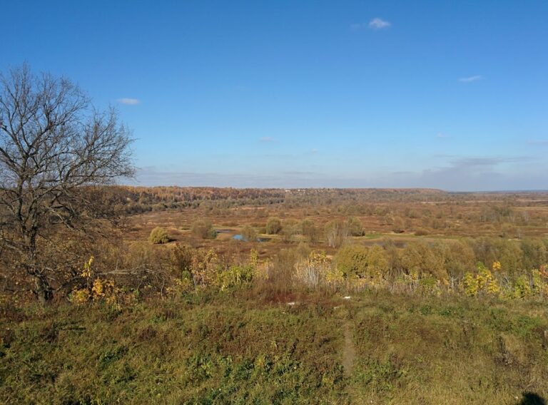
Hlukhiv Fortress is a medieval Rus fortified settlement in Hlukhiv, Ukraine, originating in the tenth or eleventh century on the elevated left bank of the Esman River. Built to protect against external enemies, it developed into the defensive system surrounding the town’s historic center and remained in use until the early nineteenth century.
Medieval Rus Stronghold
Hlukhiv appears in the Ipatiev Chronicle in 1152, 1167, and 1239. The entry for 1152, describing Yuriy Dolgorukiy’s campaign against Chernihiv, places a fortified settlement on the southern edge of the lands controlled by the Olgovichi, a princely branch associated with Chernihiv and related Rus principalities. Hlukhiv was linked with the Novgorod-Seversk principality, a medieval Rus principality centered in the northern Seversk region, and stood on the frontier of the Rus lands.
The town’s defensive position also gave it a princely role. In 1167, Maria Mstislavna, widow of Prince Vsevolod Olgovich, is recorded as residing there with her entourage. The chronicle’s reference to Hlukhiv in 1239 places the settlement amid Batu’s devastation of the Seversk region. Batu, a Mongol ruler and military leader, led campaigns that brought widespread destruction to Rus territories, while Bishop Porfiry retreated from Chernihiv during the crisis.
The earliest fortifications were wooden and occupied a hill above the river. After a plague struck the Hlukhiv area in 1352, both the population and the fortress declined. Strengthening work resumed in 1635, when the town was under the rule of the Polish-Lithuanian Commonwealth.
Cossack Defense and Urban Expansion
In January 1664, the fortress’s Cossack garrison resisted a siege by the large Polish-Lithuanian-Tatar army of King Jan II Casimir. Jan II Casimir, who was king of Poland and grand duke of Lithuania from 1648 to 1668, was leading a campaign against the Moscow state. The failed siege helped halt his advance and contributed to the outcome of the Russo-Polish War.
The older fortress was destroyed by a city fire on 13 August 1685. A new and larger urban fortress was built afterward, with five gates and an extensive line of ramparts and ditches around the historic town. During the second half of the seventeenth century and throughout the eighteenth century, Hlukhiv grew as an administrative, craft, and trading center. Archaeological and cartographic evidence has helped reconstruct the fortress’s contours and identify the positions of its suburbs.
Reconstruction and Demolition
The fortifications were reconstructed and enlarged in 1724 and again in 1749. By the end of the eighteenth century, the fortress had lost its military and strategic importance. Its liquidation was decided in 1802, and the fortress was demolished that year. In 1808, its deep ditches and earthen ramparts were leveled.
Hlukhiv Fortress is designated a monument of architecture of national importance in Ukraine. Its history is also preserved through the archaeological layers beneath the modern town, which reflect the long continuity of urban life within the fortified area.
Remains
Ramparts and Defensive Plan
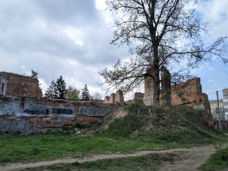
The fortress occupied the edge of a plateau on the elevated left bank of the Esman River and enclosed Hlukhiv’s historic center. Its plan was irregular and angular, with substantial earthen ramparts surrounding the enclosure on all sides. Gun bastions, projecting sections of fortification that allowed defenders to fire along adjoining walls, strengthened the ramparts. Together with the gates, the outer defensive lines measured approximately 2,300 meters.
Excavations inside the rampart line show that the settlement was densely built over several centuries. Foundations of later buildings overlie remains of earlier structures, and the ground contains a substantial cultural layer formed by successive periods of urban activity. These overlapping layers make the earliest medieval horizon difficult to isolate, while confirming the continued development of the town within the fortifications.
Gates and Surviving Features
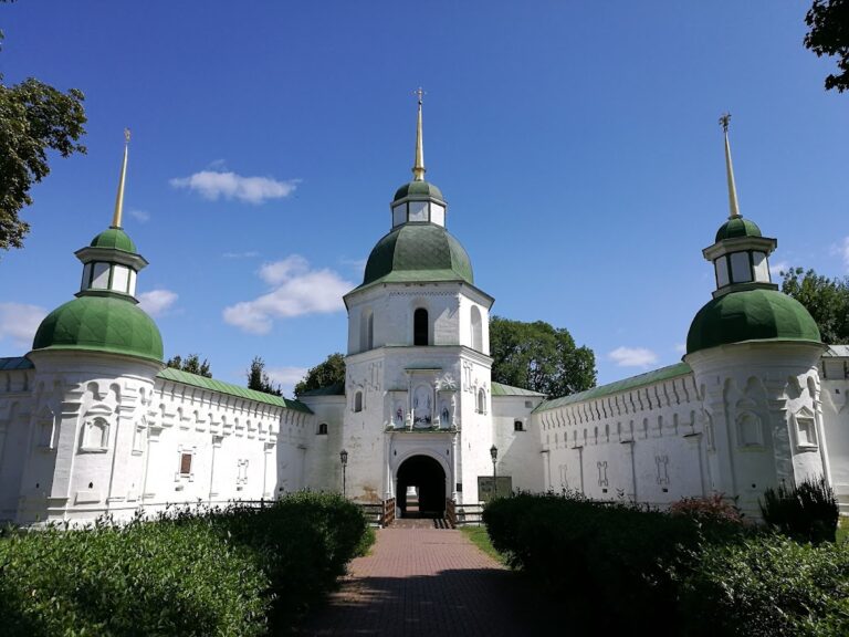
The five gates took their names from the principal roads leading toward Kyiv, Moscow, Putyvl, Bilopillia, and Mykhailivka. The Kyiv Gate, also described as a triumphal arch, is the best-preserved surviving element of the fortress. Parts of the earthen ramparts also remain, providing physical evidence of the defensive line that once enclosed the historic center.