El Paraíso: A Late Preceramic Archaeological Complex in Peru
Site at a Glance
- Popularity
- High
- Country
- Peru
- Primary era
- Bronze Age
- Eras represented
- Bronze Age, Iron Age
- Civilizations
- Unclassified
- Site type
- Religious
- Remains
- Sanctuary
On this page17 sections
History
El Paraíso, formerly known as Chuquitanta, is an ancient complex on the left bank of the Chillón River near its mouth in Peru. Its principal occupation dates to 3790–3065 calibrated years before present, a radiocarbon measure adjusted to calendar years using 1950 as the reference point. The site is generally assigned to the Late Preceramic period, also called Cotton Preceramic, and its occupation appears to have continued into the early Initial Period.
Occupation and debated chronology
The period assigned to El Paraíso remains disputed. Researchers Sheila and Thomas Pozorski place much of its use in the early Initial Period and describe the principal sequence as aceramic, a classification for occupation before pottery use. Pottery found at the surface and in later layers points to some subsequent, apparently intermittent activity.
The site’s purpose is also uncertain. Its substantial stone buildings and the distribution of refuse and burial contexts have led researchers to question whether it was chiefly residential. Interpretations include an economic or religious center, perhaps serving both purposes, and a place for organizing cotton production rather than food production.
Regional setting and subsistence
El Paraíso belonged to a group of coastal centers that were regionally isolated, rather than to the Norte Chico interaction region associated with early complex societies such as Caral and Áspero. Michael Moseley considered the site important to his Maritime Foundations Theory, which emphasizes marine resources in the emergence of social complexity. More than 90 percent of the inhabitants’ protein is estimated to have come from marine foods, especially fish. Anchovies were prominent, and people also ate molluscs. They grew cotton for fishing nets and clothing, while wild plants and cultivated foods supplemented their diet.
Mollusc evidence indicates that at least two substantial El Niño events occurred during the occupation. These periodic shifts in Pacific conditions affected local resources, but inhabitants appear to have continued relying on marine foods and vegetation. Some finds have also been tentatively connected to the Kotosh Religious Tradition, a group of ceremonial practices associated with Peru’s central highlands. The U-shaped plan has been interpreted as a possible precursor to later architecture in the Chillón, Rímac, and Lurín valleys.
The scale and engineering of the complex suggest that planning and coordinating its labor force involved some hierarchy, although the precise social organization remains unresolved. One interpretation proposes a chiefdom, a society with ranked leadership that coordinates communities without necessarily having a centralized state.
Abandonment and later visits
El Paraíso was abandoned during the early Initial Period. The process appears to have been gradual but relatively rapid, and its cause is unknown. Later remains indicate brief visits during the Early Intermediate Period, a later phase in Andean chronology that ran approximately from 200 BC to AD 550.
Investigation, damage, and protection
Louis Stumer surveyed the Chillón Valley in the early 1950s and recorded the site as Chuquitanta, a name taken from a nearby estate. In 1964, Thomas C. Patterson and Edward P. Lanning identified it as Preceramic and reported about nine structures. Frédéric Engel surveyed and mapped the complex in the 1960s, naming its principal buildings Units I through VII. He worked chiefly on Unit I, which he restored and partly rebuilt, and used textile remains and radiocarbon dates to support a Preceramic classification.
Later work by Patterson and Moseley identified between nine and thirteen buildings. Jeffrey Quilter began a multidisciplinary project in the Lower Chillón Valley in 1982 to establish a chronology and investigate the site’s architecture and food economy. A 1983 survey counted eleven buildings, and Quilter’s 1984 work included excavations in Units II and IV and areas outside buildings.
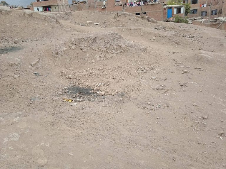
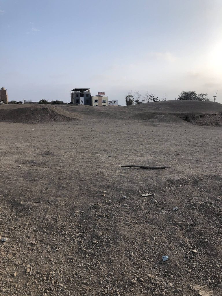
After local residents sought greater protection, El Paraíso was designated a protected archaeological area in 2008. The Ministry of Culture selected it in 2012 for a project to recover, preserve, and restore archaeological monuments in Lima. In late June 2013, property developers demolished and burned Unit X; police prevented the destruction of eleven other pyramids. A research, conservation, and site-improvement project followed from 2016 to 2021. El Paraíso is designated the Monumental Archaeological Zone of El Paraíso and is recognized as Cultural Heritage of Peru.
Remains
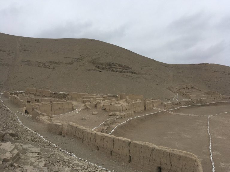
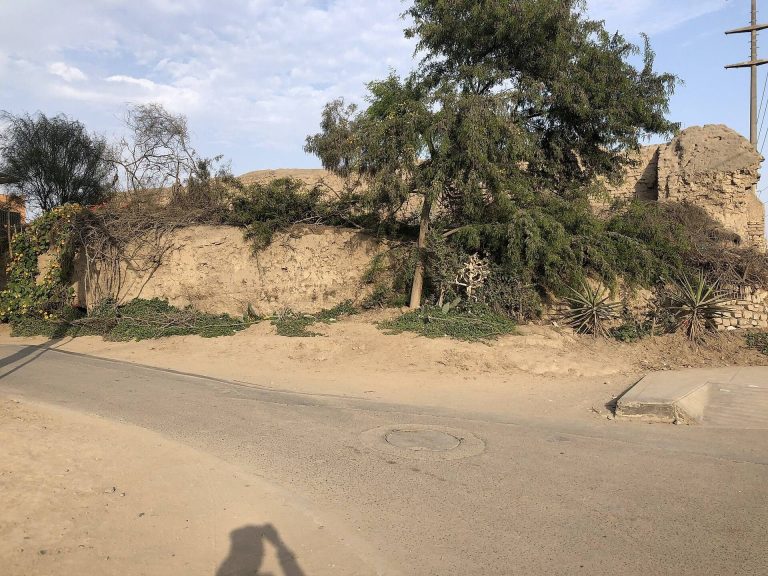
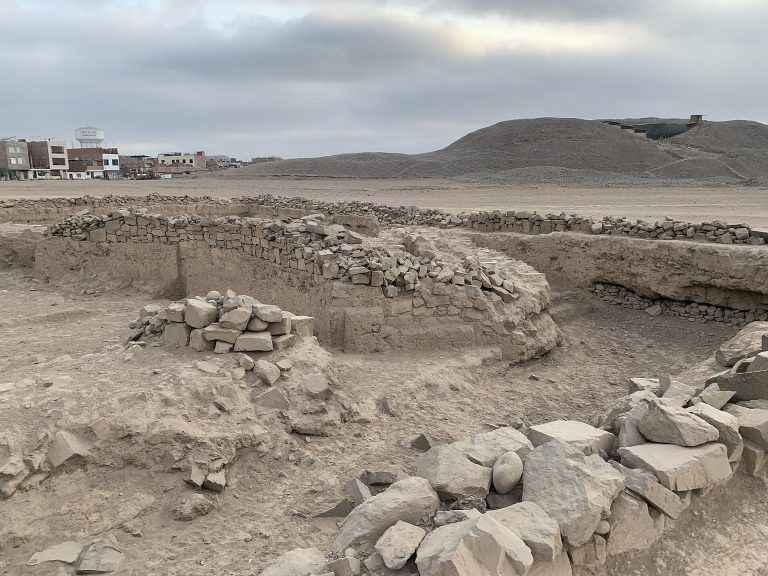
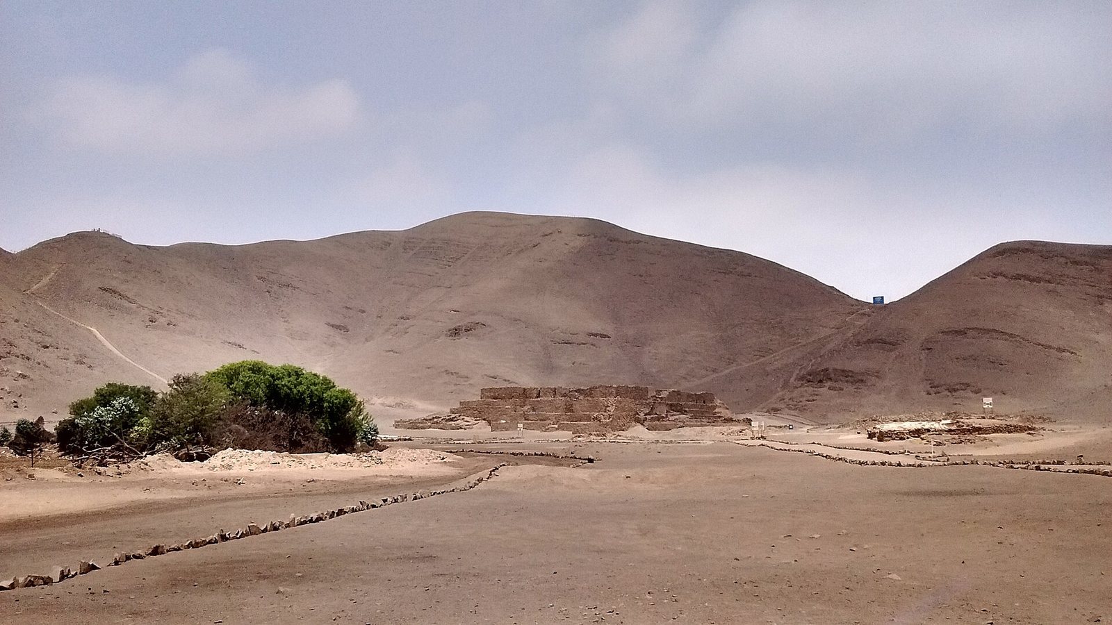
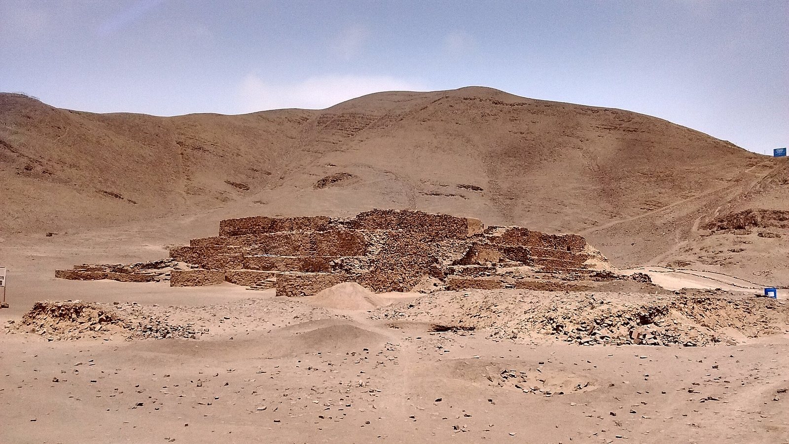
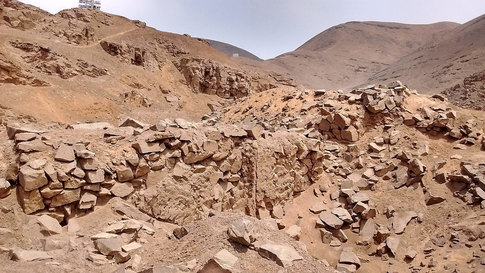
The complex covers more than 50 hectares on a river terrace formed from deposited sediment, about two kilometres from the Pacific Ocean. Hills separate the site from a view of the sea. More than 90 hectares of surrounding land are arable, with another 150 hectares of lowland considered suitable for irrigation-based agriculture. The buildings, described as twelve pyramids or mounds, are made of stone and mud and form a U around an open plaza of about 70,000 square metres. Units II and III make up the long sides of the plaza, each extending for more than 400 metres; Unit I stands at its southern end. Roads, irrigation canals, machinery, and later land use have disturbed parts of the complex, especially to the west.
Buildings and construction
Unit I
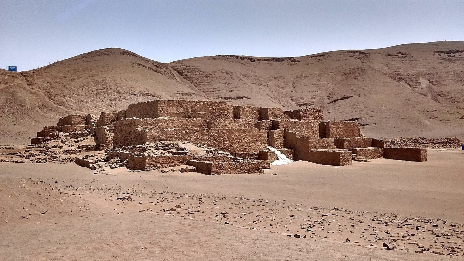
At the southern edge of the site, Unit I is a rectangular building with four levels and a group of sixteen rooms on top. Its walls, up to 2.4 metres thick, have two faces of flat stone blocks, with coarse fill and mortar between them. Builders used roughly trimmed stone quarried from a nearby hillside and coated the structure with plaster. Hammers found at the quarry provide evidence of stone working there. Platforms, high doorways, and stairways connect its rooms.
Unit I went through four to six building phases, though Engel’s restoration and partial rebuilding in the 1960s made the phases harder to distinguish. Some later construction used plant-fiber bags filled with stones, called shicras, as fill inside rooms. Changes to interior doorways and stairways indicate alterations in how rooms were arranged and used. Access varied across the building: wide exterior stairs reach rooms in the northwest, while southern rooms can be entered by a stair on the east or by narrow corridors on the west.
Room 2 is the oldest identified room in Unit I. A small excavation in its northeast corner exposed four floors separated by midden layers, accumulations of refuse. The earliest level dates to 2185–1685 cal BC, and the uppermost to 1420–1105 cal BC. The room’s final phase has been interpreted as ceremonial. A wall also contained a ritual offering: a large red-coated stone wrapped in cotton, gourds with food remains, and a miniature stone-filled fiber bag. The miniature bag held white, oval lime cakes wrapped in leaves, possibly pacay. The stone has been interpreted as representing ancestral groups linked by shared identity.
Unit II
Unit II has multiple plaster floors and several construction phases. In its upper levels, excavators found a clay floor and pottery dating to the Intermediate Period. Deeper down were two parallel lines of stone that may have been walls or foundations. A small room in the northwest part of the building had columns attached to two walls, a feature not observed at other Preceramic sites on Peru’s coast.
A room measuring five metres square contained pottery, cloth fragments, and household refuse in its upper levels, with a small hearth below. Another room had two short columns joined to opposite walls. Room 2W contained bird droppings, colorful down, and feathers from at least two species. An immature seabird had been carefully placed beside fish and crab remains near a right-hand impression in a large piece of mortar; another bird skeleton was associated with parallel sticks. Room 1, nearby, had colored down scattered across its floor. These remains suggest that birds were brought into the rooms, possibly for ceremonial use. Cotton, wood, and needles from the complex may indicate that feathers were worked into textiles.
Unit III
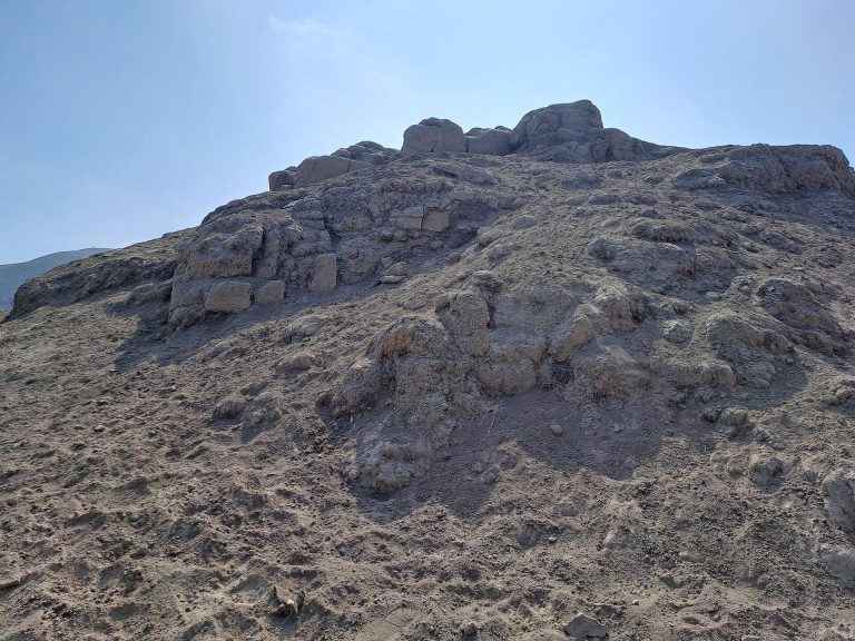
Unit III forms one side of the plaza and is described as a rubble pile. Its relationship to Unit IX is uncertain, and Unit III may consist of two collapsed buildings.
Unit IV
Unit IV is a single-storey building with evidence of looting. Excavation beside a looters’ pit exposed a clay floor and abundant animal remains. Quilter proposed that the building may have been used for feasting associated with Unit I rather than as a home.
Unit VI
Unit VI was one of the complex’s two largest structures. A tractor cut through it after it had been recorded as intact in the 1960s, and a brick-storage yard was later built over part of its remains. Preliminary investigation suggests that the structure continues beneath the yard.
Temple of Fire
A stone temple discovered in the right wing of the main pyramid measures 6.82 by 8.04 metres. Its yellow-clay walls retain traces of red paint, and a hearth lies at the center. Preliminary dating suggested that the temple might be as early as 3000 BC. It has been compared with contemporary structures at Caral and Kotosh.
Burials, objects, and subsistence remains
Burials
Engel excavated five burials. An adult and an infant lay beside Unit I’s south exterior wall; another adult was on its west side. A young infant was found at the base of the south wall of Unit I’s west wing, and an adult lay north of Unit V. The infant beside the south wall was wrapped in textiles dated to the Ceramic Period, and the burials generally intruded into refuse deposits.
A funerary bundle from Unit IV contained the remains of a woman estimated to be about 3,700 years old. She was given the name Eva Lucia, or the Lady of El Paraíso. The burial context has been interpreted as suggesting elevated social status, though the wider form of social organization remains uncertain.
Textiles and crafted objects
Excavated cotton yarn ranges in color from white to dark brown, with deep red and two shades of blue also represented. Cotton cloth was made in a simple over-and-under weave. Other finds include mats, looped bags, nets, wood and bone objects, grinding stones, stone beads, rough two-sided stone tools, a polished stone mirror, figurine fragments, and spindle weights used to spin thread. Two objects have inlays of dark blue stone resembling lapis lazuli. Plant-fiber baskets and cotton textiles were also recovered.
Food and plant remains
Marine remains include fish, molluscs, crab, and seabirds. Plant remains indicate a varied food economy. Cotton and bottle gourd date to about 2500 BC; other cultivated plants include squash, chili pepper, common bean, achira, and jicama. Finds also include guava, lúcuma, pacay, and plants in the Solanum group, alongside wild sedge roots, groundcherry, and cattail. Other remains include amaranth, potato, cactus, wild cane, grasses, algarrobo, manglillo, and willow. A preserved cactus about 30 centimetres long, estimated to be roughly 4,000 years old, may be the hallucinogenic San Pedro cactus, Echinopsis pachanoi.