Archaeological Site of Vlochos: An Ancient Greek City and Its Fortifications
Site at a Glance
- Popularity
- Low
- Country
- Greece
- Primary era
- Classical
- Eras represented
- Iron Age, Classical, Medieval
- Civilizations
- Ancient Greek, Byzantine, Roman
- Site type
- City
On this page20 sections
History
The Archaeological Site of Vlochos, near the modern village of Vlochos in Greece, preserves remains of an ancient Greek city whose name is unknown. Its scale suggests that it was probably a city-state, with its most extensive building activity in the fourth or third century BC and occupation continuing into the Early Byzantine period, the early medieval era of the Eastern Roman Empire.
The unnamed city and its building phases
Limnaion and Phakion have both been suggested as the ancient city’s name, but neither identification is certain. An earlier proposal that it was Peirasia was set aside after that city was located at modern Ermitsi, about 10 km to the south. The Vlochos area may have belonged to Thessaliotis, a subdivision of ancient Thessaly associated with the Enipeus basin.
The city’s nearest neighbors were other Greek city-states: Krannon to the east, Atrax to the northeast, Phayttos to the north, Pharkadon to the northwest, Methylion to the southwest, and Peirasia to the south. Small forts at Keramidi and Metamorfosi defended the territory’s northern and western edges.
Four successive building phases have been proposed. Their relative order is indicated by the relationships between construction programs, while their dates rely on architectural style. The earliest phase is placed before Classical Greece and may reach back to the Mycenaean period, the Bronze Age of Greek civilization, though a Late Archaic date, from the era before Classical Greece, is considered more likely. The two stages of the largest building program are assigned to the fourth or third century BC. Later phases belong to Roman and Early Byzantine times.
Roman and Early Byzantine fortifications
A possible refortification in the late third century AD may have been a response to Gothic incursions. The Goths were peoples who came into conflict with the Roman Empire during late antiquity. Their attacks formed part of the Crisis of the Third Century, a period of upheaval in the Roman world that ended with Diocletian’s accession as emperor in AD 284.
A further refortification probably took place in the sixth century AD. It may have been connected with building programs begun by Justinian I, the sixth-century Eastern Roman emperor, and coins of Justinian found at Vlochos support an early sixth-century date. In the middle of that century, migrations and raids by Turkic and Slavic peoples crossing the Danube into Roman lands probably increased the need for fortified places and refuges. Ancient occupation at Vlochos ended in the Early Byzantine period.
Rediscovery and archaeological study
British traveller William Leake mentioned the site after passing through the area in 1803, although he did not visit the remains. Danish scholar Johan Louis Ussing made the first firsthand description in 1846. His observations remained the fullest account until the later twentieth century.
Rescue excavations in 1964 changed understanding of the settlement’s layout. Rather than being concentrated mainly on the summit of Strongilovouni, it was found to extend at the hill’s southern foot, at Patoma, where the remains were interpreted as a sanctuary. A French survey of the Enipeus valley in the 1980s provided a fuller description of Vlochos and its defenses. Rescue work in the 1990s revealed buried Classical and Hellenistic settlement remains at the foot of the hill.
The Greek-Swedish Vlochos Archaeological Project conducted a complete, non-invasive survey in 2016–2018 with researchers from the Ephorate of Antiquities of Karditsa, the Swedish Institute at Athens, the University of Gothenburg, and Bournemouth University. The Palamas Archaeological Project began in 2020 as a continuation, with aims that include excavation and investigation of the surrounding area. Vlochos is a declared archaeological site protected under Greek law.
Remains
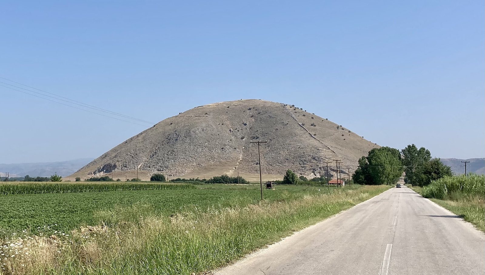
The site occupies Strongilovouni, an isolated limestone hill rising 313 m above sea level, and extends across its summit, slopes, and the flatter ground below. The hill lies south of modern Vlochos, at the northeastern edge of the Karditsa plain. Nearby, the Apidanos and Kouarios rivers join the Enipeus, which flows onward to the Peneios, Thessaly’s main river. Much of the surrounding land was formerly floodplain and is now cultivated; to the east, the Revenia is hilly terrain with low trees and scrub. Fortified enclosures, terraced roads, and buried streets define the settlement’s physical arrangement.
Hilltop defenses and access
Earliest hilltop enclosure
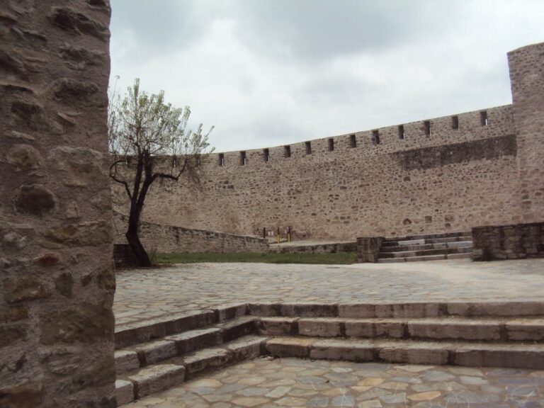
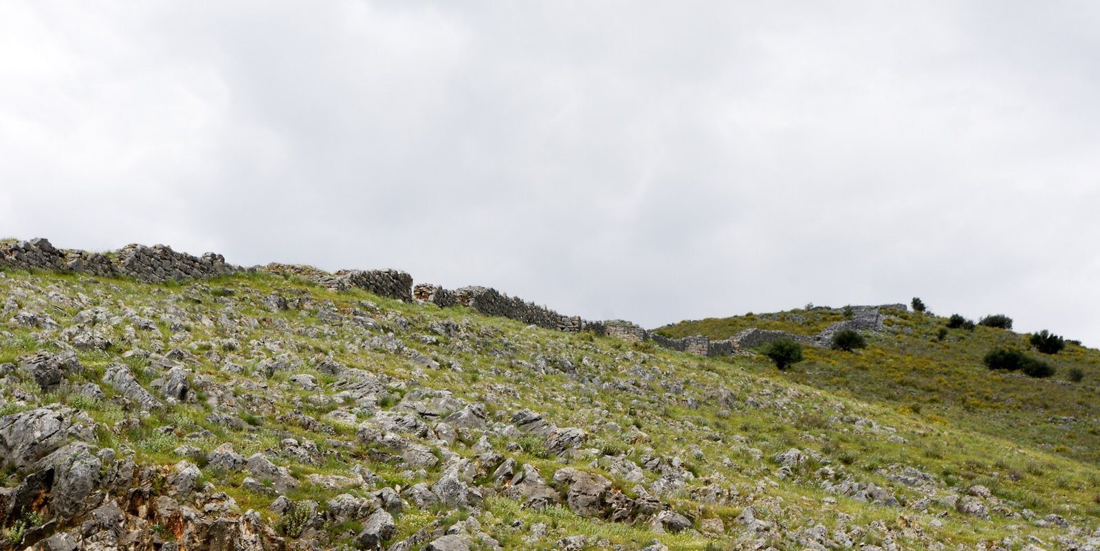
The earliest identified defense was an enclosure on the hilltop. Its walls, built of roughly shaped stones, originally ran for 1.5 km and were 2.7 m thick. They survive to a maximum height of 2.5 m and probably carried an upper section made of sun-dried mud bricks. Two large gates opened to the west and southeast.
Classical and Hellenistic fortifications
In the first stage of the extensive fourth- or third-century BC building program, defenses covered part of the summit, the slopes, and Patoma at the hill’s foot. Geophysical survey, which maps underground features without excavation, indicated an enclosure of about 15 hectares in this area. It had an estimated 35–40 large towers, spaced roughly 30 m apart, and at least three gates: one at each of the southeastern and southwestern corners, and one midway along the southern side. Little of this lower walling survives, as its stones were extensively reused in nearby villages.
A later stage extended the fortified summit northward and added 18 square towers. A cross-wall on the southern slope enclosed a separate fortified high area, or acropolis. Within it, the survey identified a courtyard house, probably Hellenistic, and a small number of auxiliary buildings.
Terraced roads
Two roads zigzag from the plain toward the hilltop gates. Each is 4–6 m wide and rises at a steady gradient of 12.3 percent. Large supporting terraces give the roads a monumental profile when viewed from below. Their width and gradient are suited to the movement of people and goods by horse and cart.
Settlement and sacred areas below the hill
Street plan and domestic area
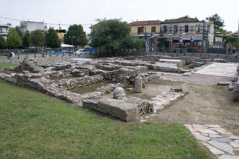
On the flatter ground directly beneath Strongilovouni, geophysical survey revealed buried settlement remains. A broad avenue follows the slope, with more than 20 side streets. The mapped features also include one, and possibly two, market squares, along with evidence of Classical and Hellenistic houses.
Patoma sanctuary
At Patoma, remains interpreted as a sanctuary belong to the Classical and Hellenistic periods. Several inscribed stone slabs dedicated to deities came from this area, adding evidence for its religious use.
Separate walled enclosure
A distinct walled enclosure within the settlement area has 16 discernible towers. Its position and defenses form a separate element of the broader complex of enclosures around the city.
Possible sanctuary near the quarry
Monumental architectural remains elsewhere in the settlement area, together with inscriptions found among debris from an abandoned twentieth-century quarry, point to another possible sanctuary.
Later slope defenses and church
Eastern fortification
The easternmost preserved stretch of wall includes later repairs and two additional towers. At the hill’s foot, it diverges from the earlier line and follows the curve of the slope. The wall is 1.65 m thick, built from untooled stones joined with mortar. The enclosed area was restricted to the southern slope, where fragmentary building remains lie on steep ground.
Church foundations
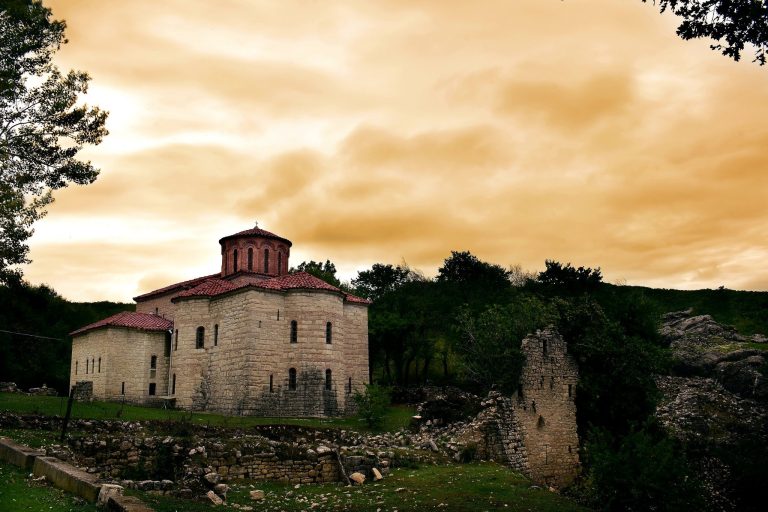
At the top of the slope are the foundations of a small church whose interior was divided lengthwise into three aisles. The church probably belongs to the same phase as the later fortifications.
Inscriptions and stone monuments
Dedications
Thirteen inscriptions are known from the Vlochos area. The earliest is an early Classical dedication to Poseidon, a major Greek god particularly associated with the sea. It was made by an archegetes, a title for a founding leader or originator, and written in the regional Thessalian form of the Greek alphabet. Found during roadworks in the 1930s, the stone is now displayed at the Archaeological Museum of Almyros. Four further dedications, recovered during rescue work in the 1960s, date from the early fourth to the third century BC.
Funerary monuments
Three funerary stelae, upright grave slabs, came from fields south of the ancient city and date to the third or early second century BC. Two commemorate Megalokleas and Nikasippos, son of Nikias. They are displayed in the foyer of the Archaeological Museum of Karditsa.