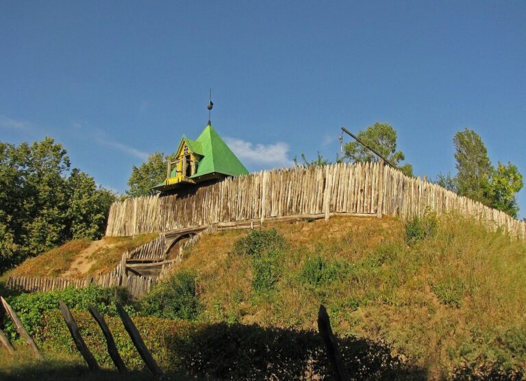
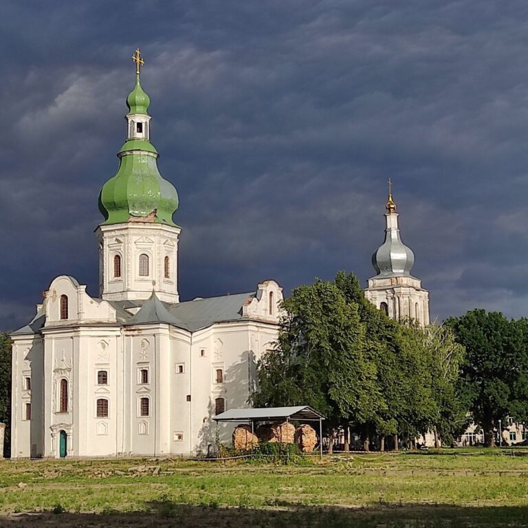
Torchesk: A Medieval Fortified Town in Ukraine
Site at a Glance
- Popularity
- High
- Country
- Ukraine
- Primary era
- Medieval
- Eras represented
- Medieval
- Civilizations
- Kievan Rus
- Site type
- City
On this page12 sections
History
Torchesk was a medieval fortified town in Ukraine, between the villages of Olshanytsia and Sharky. Founded in the eleventh century in an area settled by the Oghuz, it became the principal town of the Turkic Torks, whose nomadic camps had been assigned land by the princes of Kyivan Rus, the medieval East Slavic polity centered on Kyiv. Torchesk later served as a major outpost of the Black Hoods, a confederation of Turkic groups linked to the southern frontier, within the Poros defensive system along the Ros River. This frontier faced the Polovtsians, a nomadic people also known as Cumans.
The siege and fall of 1093
Torchesk first appears in the chronicles in 1093, during fighting between Rus princes and the Polovtsians. After Sviatopolk Izyaslavich, the new prince of Kyiv, rejected a ransom for peace and imprisoned Polovtsian envoys, the Polovtsians attacked the town in April or May. Sviatopolk and his cousins Vladimir Monomakh and Rostislav Vsevolodovich tried to meet the invading force, but were defeated at the Stuhna River on May 26.
The siege continued as the attackers cut off Torchesk’s water supply. Its inhabitants appealed to Sviatopolk for food, without success. After nine weeks, the Polovtsians split their forces: some remained at the town while others advanced toward Kyiv. Sviatopolk was defeated again at the Zhelan River on July 23. The Polovtsians then reunited at Torchesk, and its starving and thirsty inhabitants surrendered on July 24. The victors burned the town and took its people captive to Polovtsian lands.
Rebuilding and princely rule
Torchesk was rebuilt in the twelfth century and grew into one of the largest towns in the Poros region. It was a princely possession and seat, with a Rus garrison. Rurik Rostislavich held its princely seat in 1161, and Torchesk later became one of the dynastic territorial holdings of the princes of Kyiv. In 1169, the town was assigned to Mikhalko, a son of Yuri Dolgorukiy.
After losing Galicia in 1227, Mstislav Mstislavich Udatny established himself at Torchesk and died there soon afterward. A Hungarian prince, Coloman, was also held captive in the town by a Prince Mstislav. In 1231, Daniel of Galicia took Torchesk, then transferred it to Mstislav’s sons in his memory. The following year, Torchesk and the rest of the Poros region became part of Daniel’s holdings. The town’s final chronicle mention, in 1234, concerns a battle at its walls.
Destruction and later identification
Torchesk was destroyed during the Mongol invasion of Rus and was not rebuilt. During Batu Khan’s invasion in 1240, many Torks died, many others were moved by the Tatars to the Volga, and those who remained assimilated with the local population.
Kyiv archaeologist Vikentii Khvoika investigated the hillfort in the late nineteenth and early twentieth centuries. Mykhailo Braichevskyi and Mykhailo Kuchera surveyed it in 1947 and 1972, and Boris Rybakov investigated it in 1966. Research in 1991 overturned the proposal that the town had been established on an Early Iron Age fortification. The hillfort between Olshanytsia and Sharky is associated with Torchesk, although Kaharlyk, on the Rosava River, and Torchytsia have also been proposed as its location. Torchesk may also be the town called Gur-Kuman in the travel account of Abu Hamid al-Garnati, who journeyed from Volga Bulgaria to Hungary.
The site received protection in 1970 and entered Ukraine’s State Register of Immovable Monuments in 2001. Its listing was revised in 2009 to identify it as an archaeological monument dating from the ninth to thirteenth centuries; it is also designated an immovable monument of national significance.
Remains
Fortifications and settlement layout
Overall form
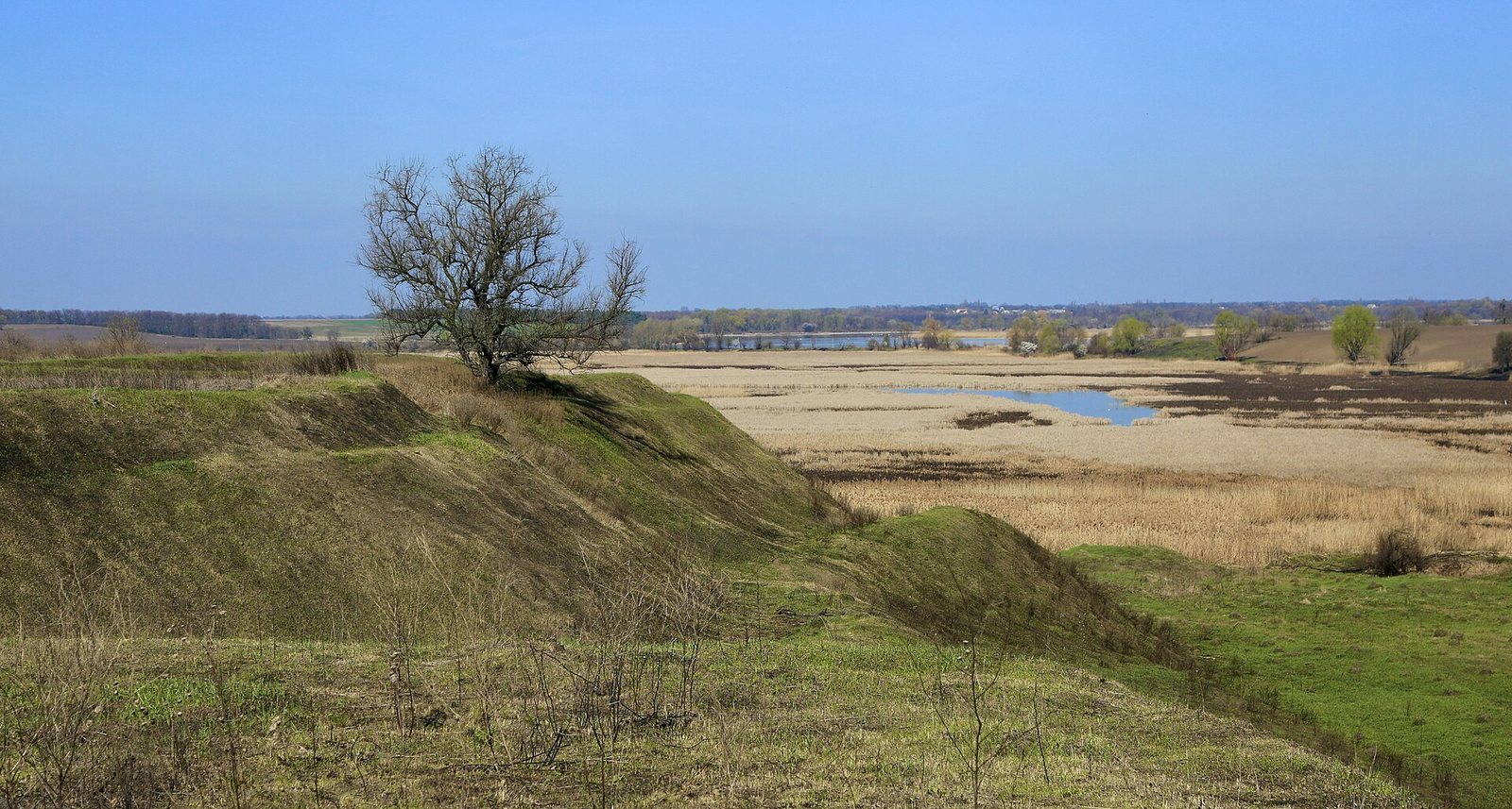
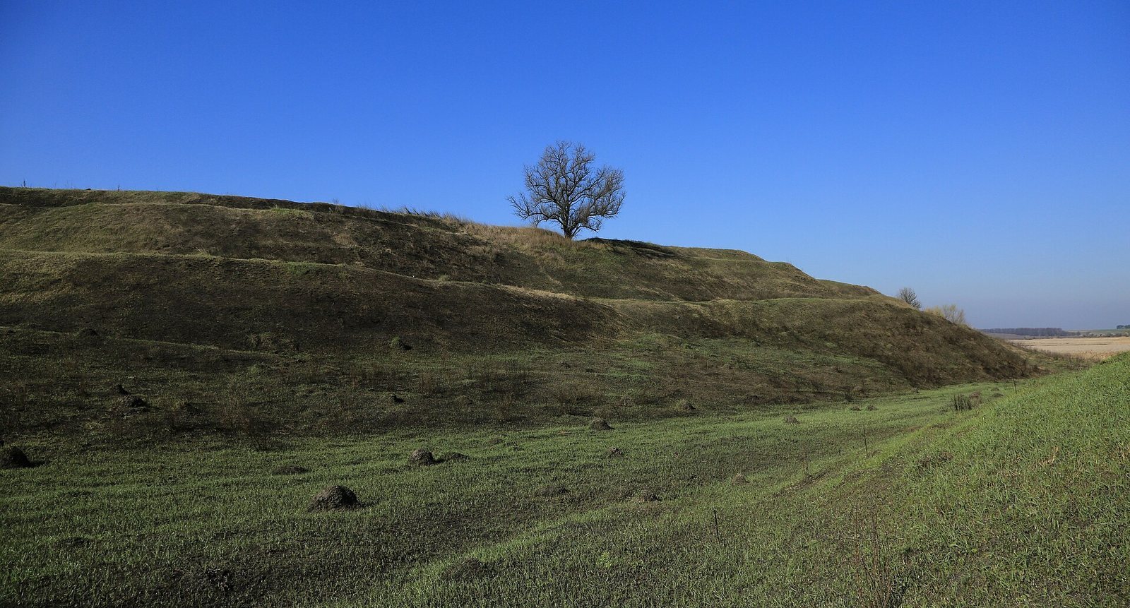
The hillfort lies near the floodplain of the Gorokhovatka, a tributary of the Ros. It extends about 1,300 metres in length and 200 to 500 metres in width, covering an estimated 90 hectares. Its fortified layout is described as having three parts, with eastern and western semicircular enclosures connected by a rampart about 1,400 metres long.
Enclosures and citadel
A round central citadel occupies the eastern enclosure. Its rampart is now silted over, and a ditch is also part of the fortification. Together, the enclosures, connecting rampart, citadel, and ditch define the surviving hillfort layout.
Surrounding settlements
A dense network of unfortified settlements surrounded the fortified town, forming a broader settled area around its defenses.
Buildings, burials, and finds
Dwellings and burials
Excavations revealed both sunken and above-ground dwellings, including houses with clay ovens, as well as remains of domestic and other buildings. Burials of the Polianians, an East Slavic people associated with the middle Dnieper region, date to the eleventh and twelfth centuries and were found near the hillfort.
Objects and decoration
Finds from the eleventh to thirteenth centuries include pottery, glass bracelets, wearable crosses containing relics, fragments of a circular hanging lamp, tools, ornaments, and weapons. A group of glazed earthenware tiles may have decorated a church floor. A coin from the Horde dates to the fourteenth century.