Cambodunum: Roman City and Possible First Capital of Raetia
Site at a Glance
- Popularity
- High
- Country
- Germany
- Primary era
- Classical
- Eras represented
- Iron Age, Classical
- Civilizations
- Celtic, Roman
- Site type
- City
On this page28 sections
History
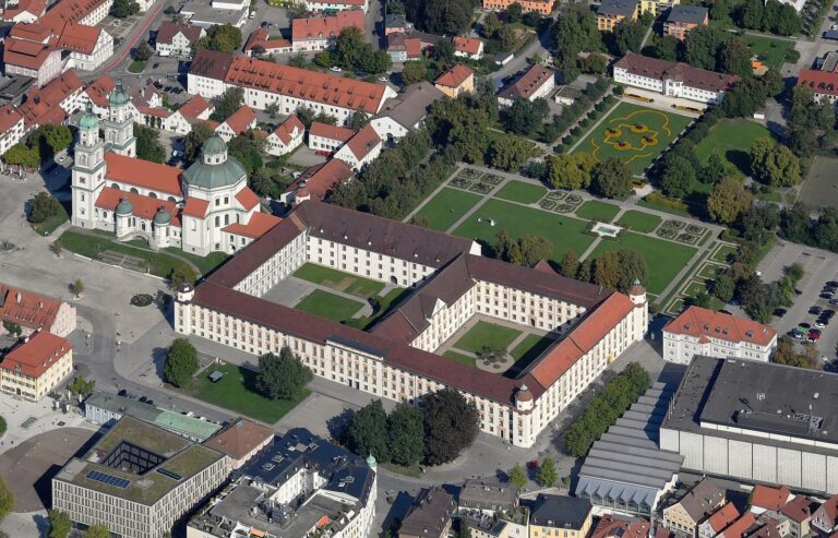
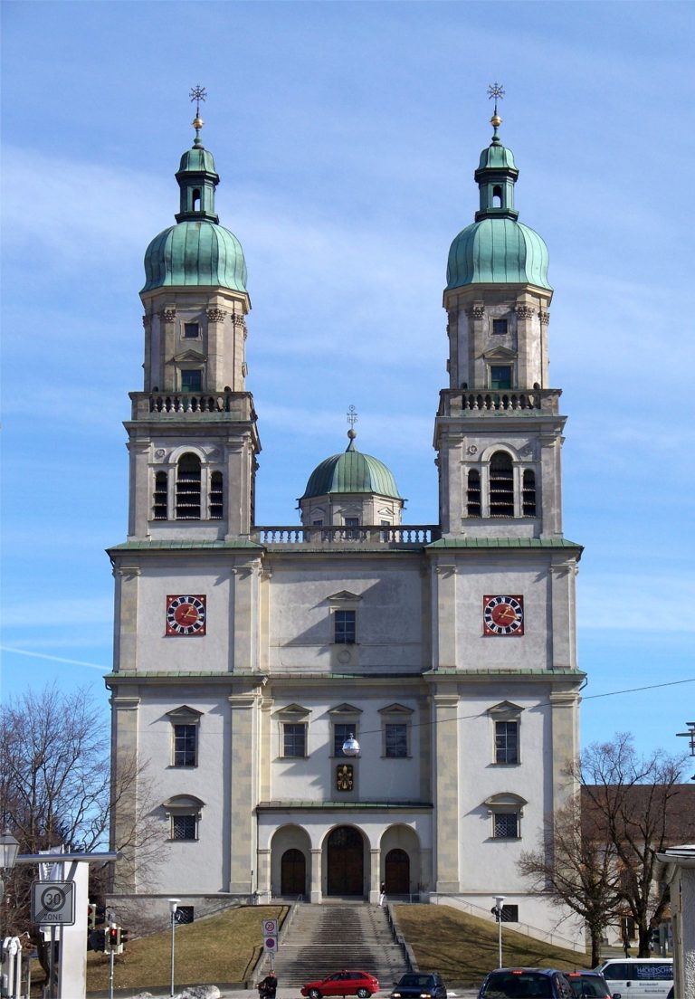
Cambodunum was the Roman city on the Lindenberg at present-day Kempten, Germany, and grew during the early and middle Roman Empire. It became one of Raetia’s leading cities and was probably the province’s first capital, before Augsburg. Its early appearance in written records also places Kempten among Germany’s oldest cities, alongside Trier and Cologne.
Celtic settlement and Roman rule
The name Cambodunum is probably Celtic, combining elements meaning a bend or meander and a stronghold or hill. Strabo described the settlement as Celtic and as the chief center of the Estiones, a Vindelician people. He used the form Kandobounon; Ptolemy and other ancient geographical and administrative records preserve variants including Kambodounon, Camboduno, Campoduno, and Cambidano. A milestone found at the former monastery of Isny and a tombstone from Budapest also bear forms of the name. The name of modern Kempten derives from its Latin form, while Campidonia survived on coins of the Prince-Abbey of Kempten, a monastic principality, into the eighteenth century.
Finds associated with the Urnfield culture in the area date to 1200-750 BC. The Alpine foothills came under Roman control in 15 BC, during campaigns led by Drusus and Tiberius under Augustus, Rome’s first emperor. Cambodunum’s growth in the first century was helped by its position on routes connecting the Alpine region, Italy, the Danube, and the Lech.
Urban growth and civic importance
A road through Chur and the Alpine passes connected Cambodunum with Italy. Another linked Kempten with Bregenz, Lake Constance, and Brigantium, the Roman settlement at modern Bregenz. Northward, a route followed the Iller through Caelius Mons, now Kellmünz, toward the Danube and Guntia, now Günzburg. A route east reached the Lech near Abodiacum, now Epfach, and joined the Via Claudia Augusta.
The forum complex and a nearby temple precinct point to substantial municipal self-government. The forum may also have hosted Raetia’s provincial assembly, whose meeting place is uncertain. The temple precinct on the western part of the plateau may have served as a central sanctuary. Together, these civic and religious functions accord with Cambodunum’s probable early role as the province’s capital.
Late Roman frontier settlement
By the end of the third century at the latest, continuing Germanic incursions had led to the abandonment of the Roman city on the Lindenberg. Its population moved to a smaller, more defensible settlement on a flood-free terrace east of the Iller, below the Burghalde, where a military camp offered protection. In late antiquity this settlement was called Cambidanum.
After Rome lost the Decumates region, the territory between the Rhine and upper Danube, Kempten became a frontier town. The imperial border ran along the Iller from Kempten to the river’s mouth. A detachment of Legio III Italica, a Roman legion, was probably stationed on the higher Burghalde. The fort belonged to the late Roman Danube-Iller-Rhine frontier, a defensive system. Its garrison was probably established around 300 during Diocletian’s reforms of the Roman state and army. A military object from a small house indicates that soldiers were present in the early fifth century; the garrison was probably abandoned by the middle of that century.
Excavation and preservation
Targeted excavations began in 1885 under the merchant August Ullrich. The Allgäu Antiquities Association, founded in 1884, continued work through 1911, followed by the Bavarian State Office for the Preservation of Monuments from 1912 to 1935 under archaeologist Paul Reinecke. Construction during Otto Merkt’s term as mayor destroyed much of the archaeological remains on the Lindenberg, despite protests from international heritage-preservation groups. The excavations nevertheless produced the first picture of the Roman settlement’s layout.
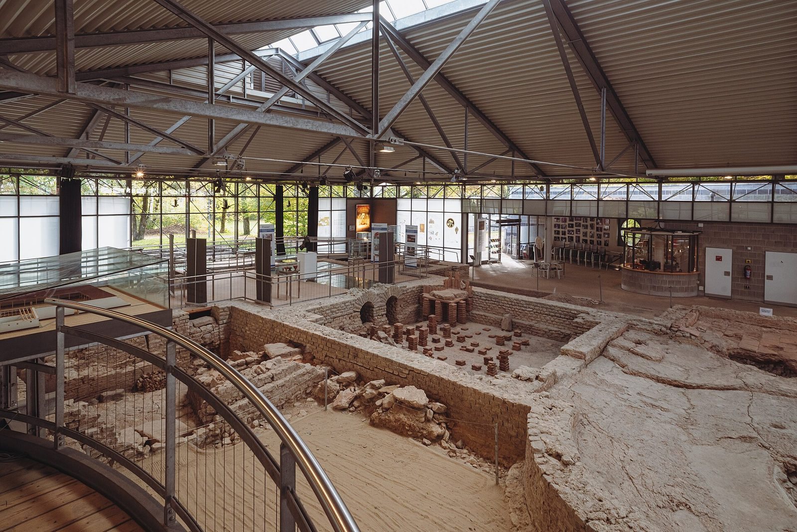
The Keckwiese cemetery was excavated between 1952 and 1967. Later investigations, including work in the temple precinct from 1983 to 1986, helped bring about the Archaeological Park Cambodunum. Its first section, the Gallo-Roman temple precinct, opened in October 1987.
Remains
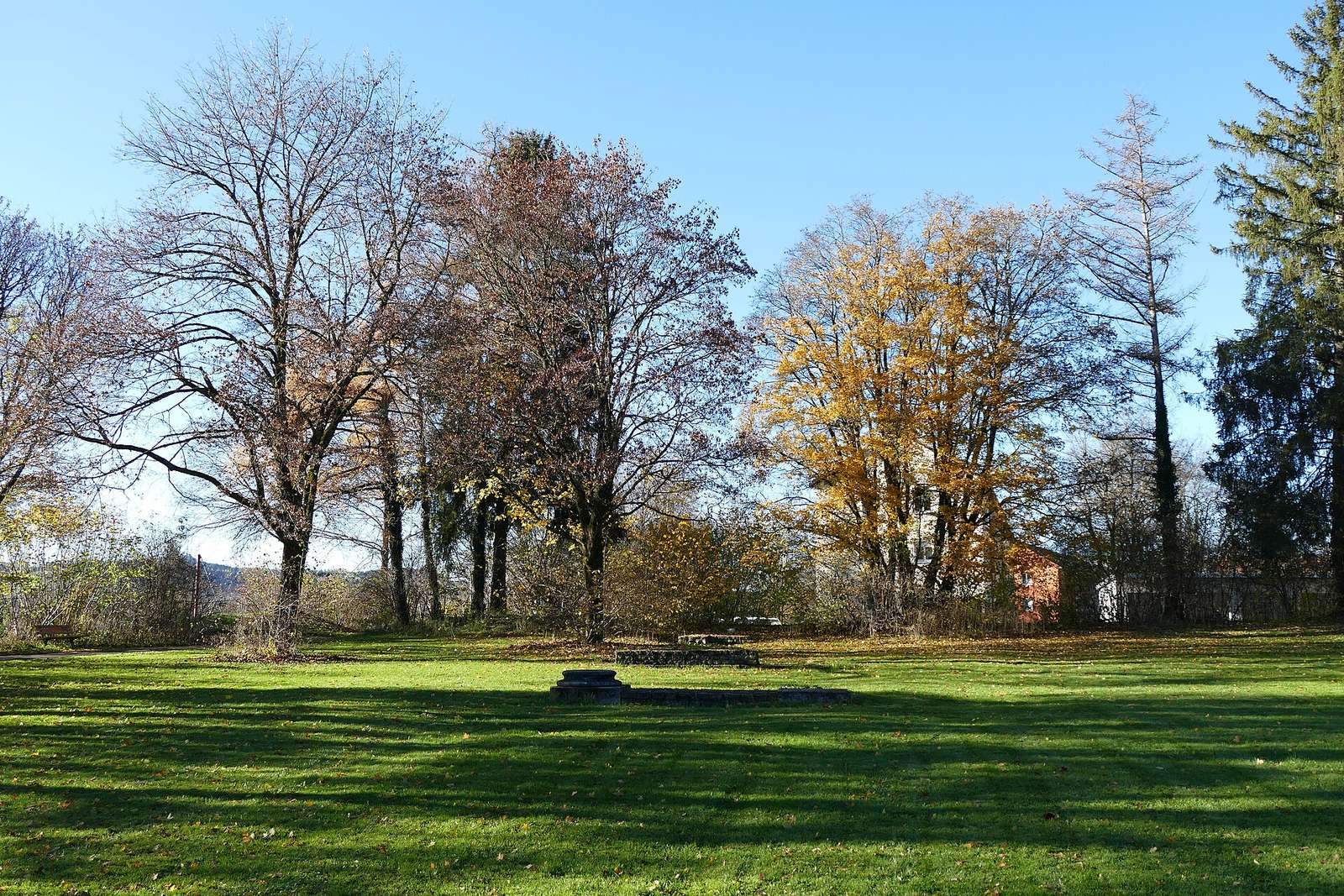
The early and middle imperial city occupied the Lindenberg, a glacial gravel terrace above the Iller’s eastern bank. Its confirmed area measures about 500 by 700 metres. Across this ground, streets, residential blocks, workshops, civic buildings, bathing complexes, and a temple precinct formed an urban settlement whose surviving remains are presented in the Archaeological Park Cambodunum.
Urban plan and construction
Setting and streets
A principal street ran from the altar in the forum’s sacred area, while the street known as Thermenstraße marks a main cross-street set at right angles to it. The present edge of the terrace may not preserve the ancient western boundary, which could have been lost through erosion.
Blocks and buildings
Nine residential blocks have been identified, each about 20 to 45 metres wide and up to 80 metres long. A small suburb of narrow-fronted houses lay west of the forum, while craft production, especially pottery-making, occupied the city’s outskirts. Wooden buildings date from the reign of Tiberius; stone construction began no earlier than the period of Emperor Claudius.
Later traces
Late antique glass, coins, and a small quantity of pottery suggest that some activity continued on the Lindenberg, although the character of any later settlement there remains uncertain.
Forum and civic buildings
Earlier forum
The earlier forum had a freestanding basilica, a large public building used for civic and legal activities, initially measuring 49.5 by 25 metres. A separate structure with a large suite of rooms may have served administrative and assembly functions. To the southeast, a walled sacred precinct enclosed an area measuring 600 by 800 Roman feet. At its center stood an altar building measuring 8.4 by 12 metres. Marble facings and painted decoration adorned the buildings, and fragments were later recovered among debris elsewhere in the city. Before the forum was built in stone, one or two timber phases preceded it.
Later forum
Work on the later forum probably began under the Flavian emperors, Vespasian, Titus, and Domitian, who ruled from AD 69 to 96. Alterations were likely finished by the middle of the second century. A formal frontage facing the forum street replaced the earlier one, with a monumental entrance called a propylon. Buildings then enclosed the square on all sides, while the large altar square and basilica remained. A building with an apsidal end on the south side may have served as the council meeting hall, and a forum temple stood at the northwest end.
Official residence
A large building added northeast of the forum in the early second century is interpreted as a praetorium, an official residence or headquarters. Some of its original room suites covered as much as 140 square metres; later alterations divided them into smaller chambers of 12 to 20 square metres.
Gallo-Roman temple precinct
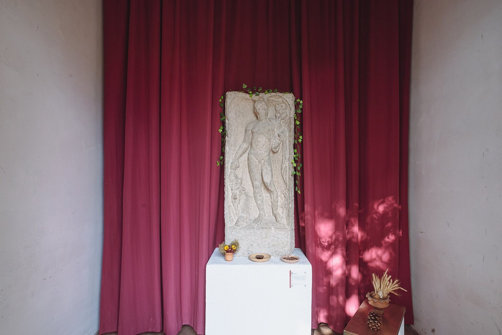
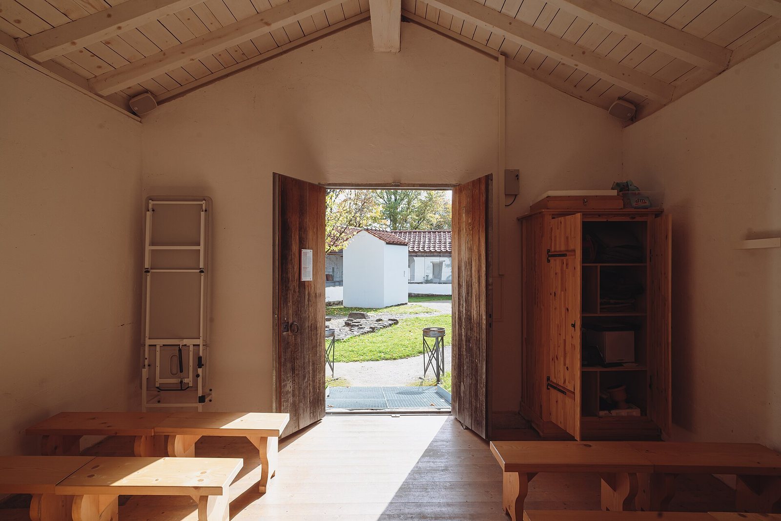
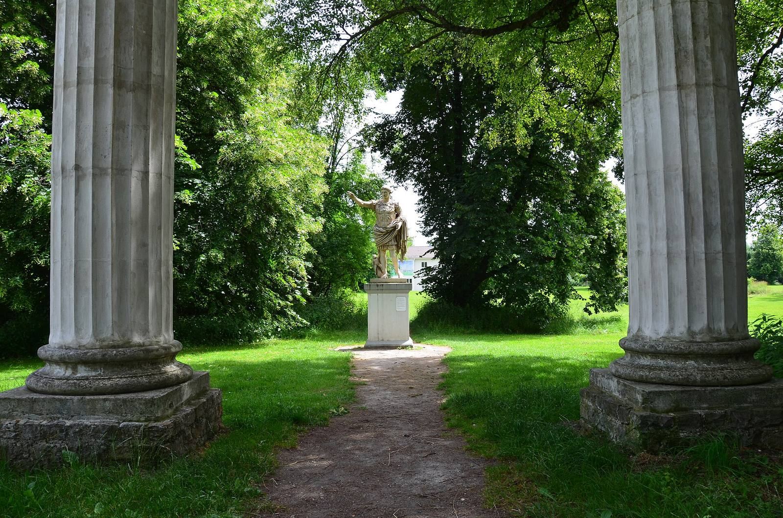
The temple precinct occupied the northwest of the city, near the steep slope above the Iller. A U-shaped double hall enclosed it on the city-facing side, leaving it open to the north toward the slope. The area contained twelve buildings, which were not necessarily all in use at the same time. When a nearby bathhouse became a tavern around the middle of the second century, stone buildings replaced earlier timber structures in the precinct. One building was an ambulatory temple, with a passage around its central shrine. A larger building later gained an apsidal end, while five smaller temples had either columns across their fronts or projecting side walls framing their entrances. These smaller buildings may also have held votive offerings. The precinct stood at the junction of long-distance roads; its finds, plan, and architecture point to local interpretations of Roman deities shaped by both Roman and indigenous Celtic traditions.
Bathing complexes
Early bathhouse
A small bathhouse was used from the reign of Caligula and is considered Kempten’s earliest stone building. Paul Reinecke excavated it in 1913. Larger bathing complexes stood northeast of the forum.
Small Baths
The Small Baths adjoined the forum’s official residence through a palaestra, an exercise space associated with baths. Their construction began late in Claudius’s reign or early under Nero, and they had three timber building phases. The first arrangement placed a hot room, a warm room, and a cold room in sequence. Later changes added furnace rooms, a sweating bath, and a latrine. At first, the baths could be reached only through the official residence, a layout that suggests a connection with the governor’s accommodation.
Great Baths
The Great Baths were built toward the end of the first century at the northeast end of Thermenstraße. They covered 4,200 square metres, placing them among the largest bath complexes north of the Alps at the time. Alteration or partial dismantling later reduced their covered area by about one-fifth.
Cemeteries and burials
Early burials at Keckwiese
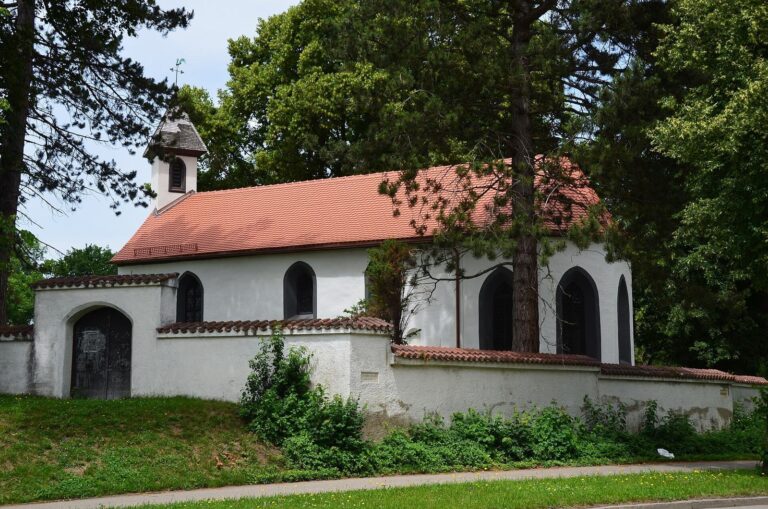
The early and middle imperial cemetery at Keckwiese lay north of the city near Keck Chapel and the road to Augsburg. It extended along the road for about 250 metres, and more than 400 burials are known. Most date to the first century, with some continuing to the end of the second. Some graves had above-ground tomb structures and enclosures.
Later burials at Keckwiese
Burials resumed there around the middle of the fourth century. In the cemetery’s northern part, 38 inhumations, mostly with few or no grave goods, overlay some earlier cremation burials. Their fills contained burnt material from destroyed early and middle imperial graves. The small number of military objects and the recorded ratio of five men to twelve women support a likely civilian interpretation of this burial area.
Other late antique cemeteries
Late antique burial grounds are also known north of the settlement and on the Iller’s western bank. The western-bank cemetery is considered probably civilian because women’s burials predominate. Individual graves considered likely Roman were found in 1862 during construction of the Kempten-Neu-Ulm railway, near the site of the later Kempten East station.
Burials beneath Rathausplatz
A smaller late antique cemetery beneath the present Rathausplatz belonged to the settlement at the Burghalde. It contained slightly more than a dozen inhumations, mostly with few grave goods. One adult man, buried face down in the second half of the fourth century, had a cut to his skull from which he appears to have recovered. His few objects included a bronze tube holding three probes, possibly medical instruments.
Late Roman settlement at the Burghalde
Defensive walls
The Burghalde is a ridge rising about 25 metres above the Iller valley. A wall 1.8 metres thick has been traced for 200 metres at the ridge’s foot, west and north of the high ground and near the late medieval wall of the present Protestant cemetery. A semicircular tower, 4.5 metres wide, stood about three metres south of the funeral chapel. A separate wall, 1.2 metres thick, near the southwest bastion is also considered late Roman on the basis of its construction.
Buildings on the plateau
The plateau measures about 130 metres long and 20 to 95 metres wide, covering approximately 0.75 hectares. One dwelling measures 5.5 by 9.5 metres. The southern part of a larger building with two apses, or semicircular-ended spaces, was excavated; its interior measured approximately 11 to 13 by 18 to 21 metres. It has been interpreted either as a bathhouse or as a reception building comparable to the hall at Kellmünz.
River evidence and archaeological presentation
Evidence suggests that the Iller flowed west of the Burghalde until the beginning of the fourteenth century. Twelve oak trunks found near Rathausplatz, probably parts of a bridge, were dated by tree-ring analysis to the reign of Tiberius. A birch trunk dated by radiocarbon analysis, together with Roman small finds in river-deposited and gravel layers below the old town, also supports this interpretation. A copy of a milestone inscribed with a form of the Cambodunum name is installed in the Archaeological Park Cambodunum.