Tarr Steps: A Clapper Bridge Across the River Barle
Site at a Glance
- Popularity
- High
- Country
- United Kingdom
- Primary era
- Medieval
- Eras represented
- Medieval
- Civilizations
- English
- Site type
- Infrastructure
- Remains
- Bridge
On this page6 sections
History
Origins and local legend
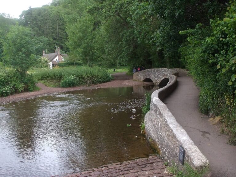
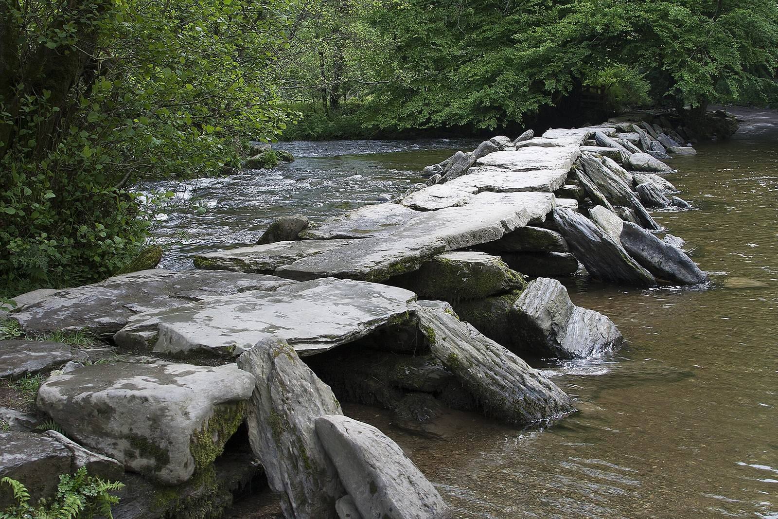
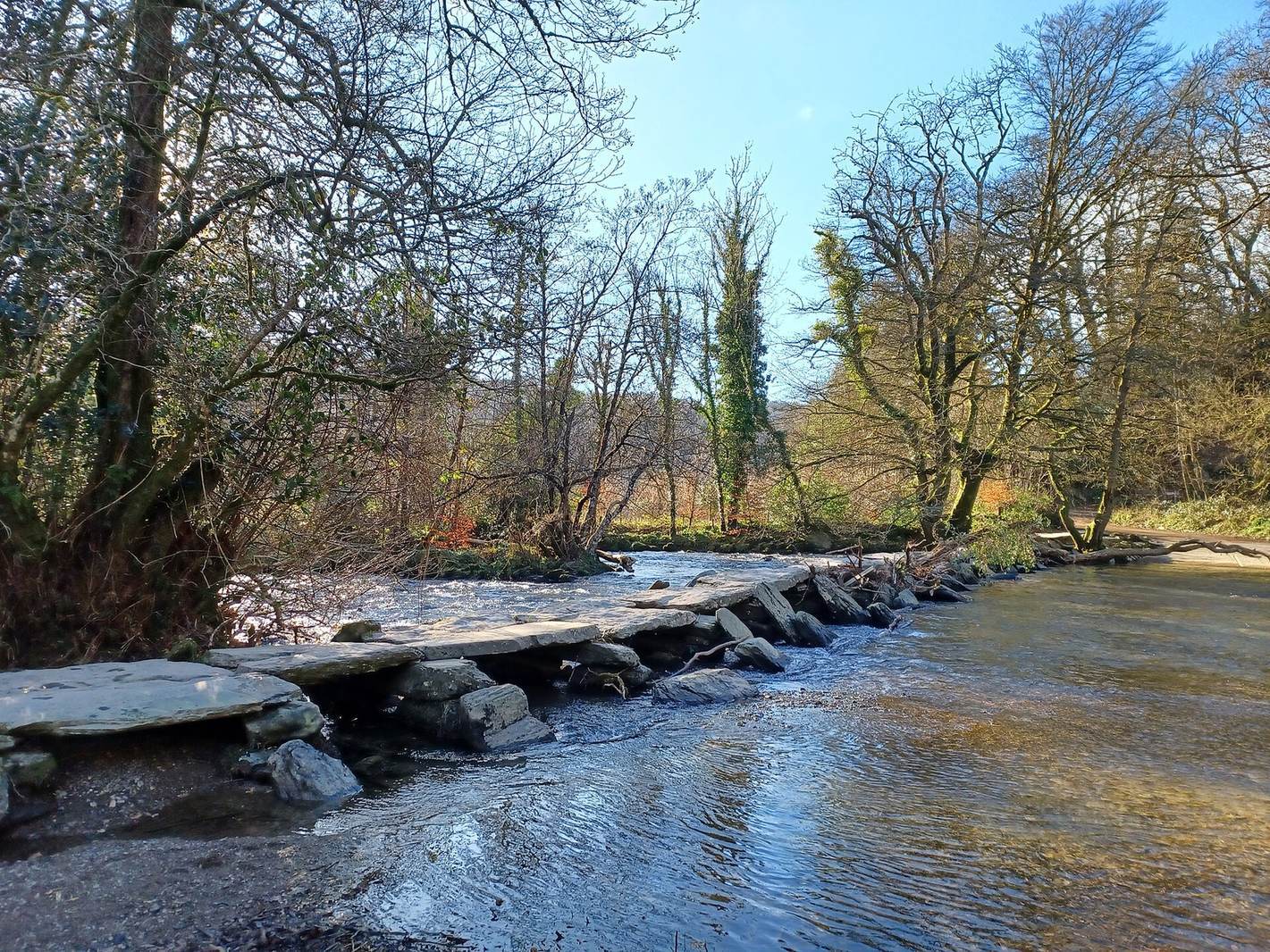
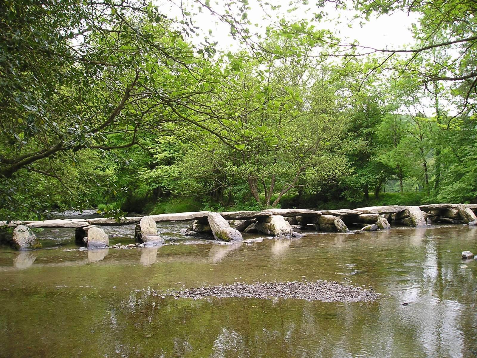
Tarr Steps is a pedestrian clapper bridge, made from large stone slabs resting on supports rather than an arch, across the River Barle in Exmoor National Park, Somerset, England, United Kingdom. It is considered medieval in origin, but its construction date is unknown. The bridge was first recorded during the Tudor period, the English royal dynasty that ruled from 1485 to 1603. Suggested dates range from the Bronze Age, a prehistoric period associated with the use of bronze, to around AD 1400; another estimate places its construction in the 14th or 15th century.
Local legend says the Devil built the bridge as a place to sunbathe and threatened to kill anyone who crossed it. Local people sent a cat across, but it disappeared into the mist. A priest then confronted the Devil on the bridge, who eventually allowed people to cross except when he was sunbathing.
Floods, repairs, and protection
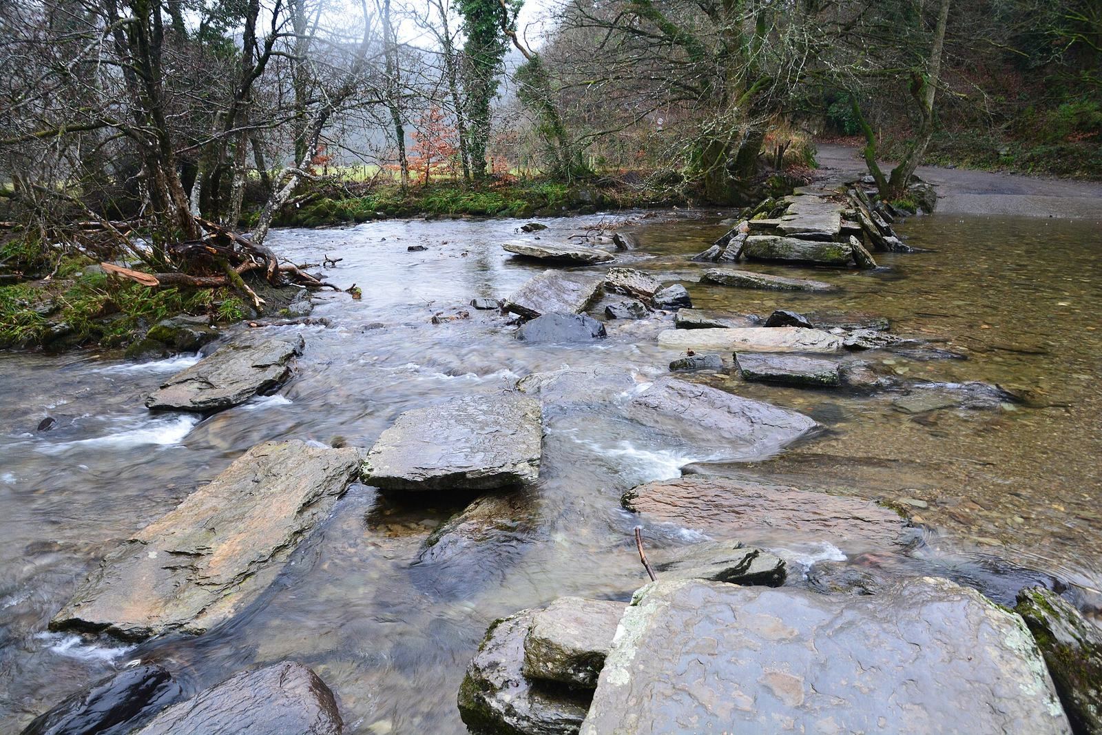
Floodwater washed away the middle of the bridge in 1941-42. In 1945, volunteers and local schoolchildren reinforced its supports with specialists from the Somerset Archaeological and Natural History Society and the Royal Engineers, the British Army’s engineering corps. Restoration work in 1949 included measuring the stones to guide their replacement. Work was completed in 1952, but a flood that August swept away all but one span. The bridge was rebuilt, with reconstruction completed in June 1953. Smaller stones were found about 50 m downstream, while heavier slabs lay about 12 m from their former positions.
Further restoration took place in 1979. Since 1953, the bridge has been inspected annually, and displaced slabs have been pulled back into position. Floods in recent decades have carried slabs as far as 46 m downstream; numbering the stones has helped return them to their places. Farmers from Dulverton and Hawkridge once cleared river debris each year. After the 1952 flood, cables were strung across the river upstream to trap debris, which contributed to damage at the bridge.
On 22 December 2012, flooding swept away about half the bridge. Fallen trees carried downstream broke steel wires installed upstream to protect it from floating debris. Another flood damaged the bridge on 21 November 2016, after which it was rebuilt. Tarr Steps is a Grade I listed building, the highest category of listed-building designation in England, and a scheduled monument, a legally protected archaeological or historic site. The surrounding woodland forms part of the Barle Valley Site of Special Scientific Interest, a designation for ecological or geological importance, and the bridge lies within Tarr Steps Woodland National Nature Reserve.
Remains
Bridge structure
Tarr Steps is 55 m long and about 1.5 m wide, with 17 spans extending across about 50 m. Large granite slabs laid without mortar form both the supports and the deck, making the bridge an example of stone construction without arches. The top slabs sit about 1 m above the river’s usual level. Individual slabs weigh about one to two tons; the largest measures about 2.4 m long by 1.5 m wide, and the largest span is about 2.59 m. Slabs set at an angle against the ends of the supports help deflect the river’s force and floating debris, although branches carried by floodwater have also damaged the bridge.
River valley woodland
The 33-hectare nature reserve occupies the River Barle valley. Its woodland is mainly sessile oak, with beech, ash, sycamore, and hazel, alongside blackberry, bluebells, and honeysuckle. Cool, damp conditions support mosses, liverworts, and lichens. The river and woods provide habitat for red deer, dormice, rare barbastelle bats, and otters. The river is fast-flowing and described as unpolluted.