Güllener Ring: An Early Medieval Hillfort in Germany
Site at a Glance
- Popularity
- Very Low
- Country
- Germany
- Primary era
- Medieval
- Eras represented
- Medieval
- Civilizations
- Carolingian
- Site type
- Military
- Remains
- Fort
On this page4 sections
History
The Güllener Ring is an early medieval hillfort near Linnepe, now part of Sundern in North Rhine-Westphalia, Germany. It probably dates to the ninth or tenth century and belongs to the Carolingian-Ottonian group of fortifications, associated with successive early medieval ruling dynasties in Central Europe.
The name is thought to relate to liability for dues. A related German word, Gülte, could mean a payment, debt, levy, or income. The fort is thought to have served nearby farms as a place to deliver and store in-kind dues.
A local legend tells of a golden cradle buried in the fort. A shepherd was close to uncovering it with his spade when someone cried out that the sheep had entered the grain. The cradle vanished, and the devil was said to have taken it. Local historian Rudolf Salingre published the story in 1989; before then, it had not appeared in collections of Sauerland legends.
The Güllener Ring has been protected as an archaeological monument under German heritage law since 1978.
Remains
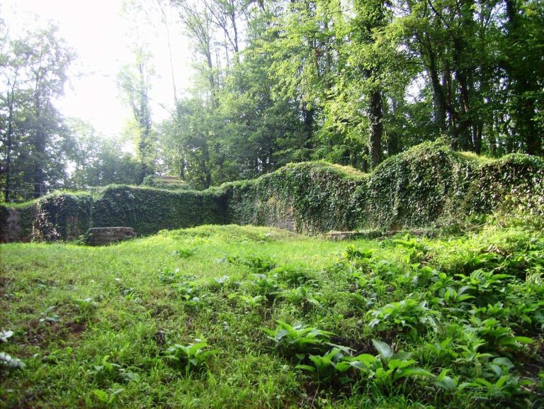
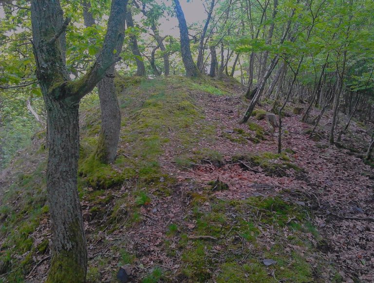
The fort occupies the north slope of Dümberg, at an elevation of 440 to 460 metres and about 800 metres south of Linnepe. Its roughly circular main enclosure and a smaller defended area to the north are defined by earthen banks and ditches.
Main enclosure and northern outer ward
The main enclosure measures about 55 to 60 metres across. Its sole entrance is on the northwest side, where parallel extensions of the bank ends form a gate; the enclosure remains accessible at this point. To the north, a smaller outer ward, a subsidiary fortified area beyond the main enclosure, has its own bank and ditch.
Banks and ditches
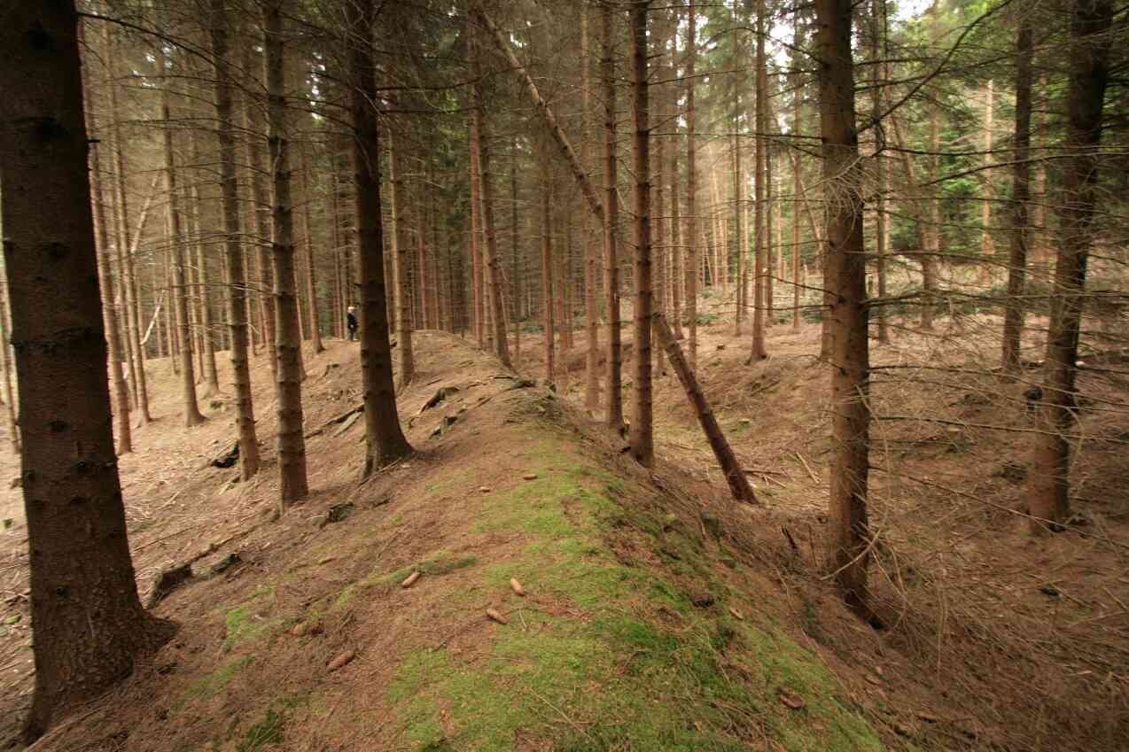
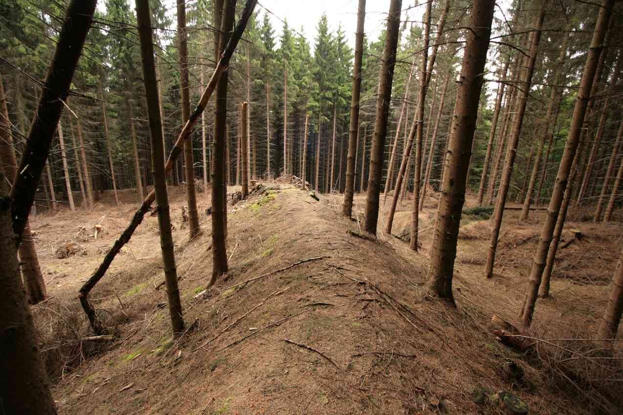
The inner bank rises about 2 to 3.5 metres above the enclosure floor, while the surrounding ditch is about 5 to 6 metres deep. Remains of the bank occur on the west, north, and east sides, and a crosswise ditch runs along the northern side. Scattered stones are thought to have come from a wall that collapsed within the bank. A separate, shorter bank with an outer ditch lies about 100 metres south of the fort.