Sirgenstein Castle Ruin: A Medieval Rock Castle in Germany
Site at a Glance
- Rating
- 4
- Popularity
- Very Low
- Country
- Germany
- Primary era
- Medieval
- Eras represented
- Medieval
- Civilizations
- Holy Roman Empire
- Site type
- Military
- Remains
- Castle
On this page10 sections
History
Settlement and medieval castle
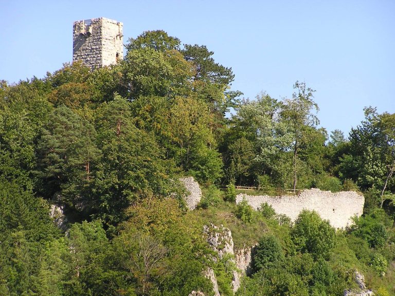
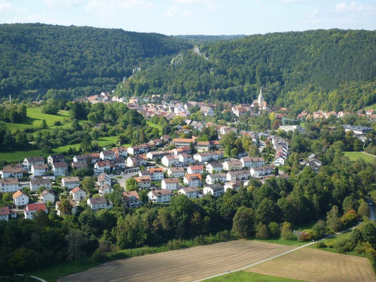
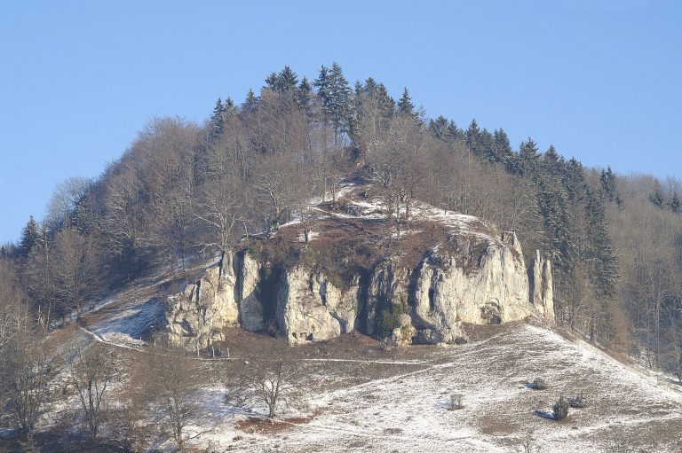
Sirgenstein Castle Ruin is the remains of a probable 13th-century rock castle near Blaubeuren, Germany. It likely served as a stronghold associated with the Counts of Berg and helped control routes through the Ach valley.
Records from the 12th century point to activity in the area before the castle was built. One describes Adalbert, son of Emecha, giving three landholdings at separate places, including a slope called Igrenstein or Sigrenstein. Another records Johannes Rietter granting annual income of four pounds from meadows between Weiler and Schelklingen to support the monks of Blaubeuren Abbey. The meadows were locally known as de Stayn.
Pottery suggests that Sirgenstein served as a noble residence sometime between about 1150 and 1250, though the identities of its occupants are uncertain. The castle was probably built in the 13th century. Its size and apparent importance suggest a ministerial castle, one associated with a member of the service nobility who served a lord’s household or administration and could have military duties. The Counts of Berg are considered its likely lords.
A possible connection with the Sürgen von Syrgenstein family, later based at Syrgenstein Castle near Wangen, remains unproven. The suggestion partly rests on similarities between that family’s arms and those of ministerial families serving the Counts of Berg. One proposed explanation is that a Berg retainer first used another family name, later took the castle’s name, and eventually moved away.
Sirgenstein is thought to have watched traffic between Blaubeuren and Schelklingen and to have acted as a northeastern outpost of Hohenschelklingen Castle. Together, these positions helped secure Berg territory and the route through the Ach valley. Muschenwang and Burg Fleck guarded the county’s other approaches and the road through the Schmiech valley, facing Steußlingen and Justingen. After Steußlingen’s vassals became vassals of the Counts of Württemberg, those defenses also faced Württemberg.
Austrian rule and disputed boundaries
In 1343, Count Konrad of Schelklingen sold his possessions around Ehingen and Schelklingen to the Habsburg dukes Albrecht, Friedrich, Leopold, and Rudolf. The Habsburgs were a European ruling dynasty whose Austrian branch governed territories in central Europe; the sale brought Sirgenstein under Austrian rule. An Austrian archduke later barred a miner from digging in the cave for earth thought to contain gold or silver, probably in 1487 or 1488.
Weiler had belonged to Blaubeuren Abbey since 1414. Württemberg acquired the abbey and the town of Blaubeuren in 1447. Following the Reformation, the religious movement that established Protestant churches in parts of Europe, the border with Austrian territory also divided confessions. An abbey land register from 1470 lists five fiefs, land held under obligations, between Schelklingen and Weiler. They were administered under the abbey’s bailiwick and subject to the official at Weiler. Some may have originated in Adalbert’s earlier grant.
The boundary around Weiler and Schelklingen remained contested. On 20 September and 27 October 1728, representatives of Blaubeuren town and abbey, on Württemberg’s behalf, met representatives of the Austrian city of Schelklingen near Sirgenstein and a place called Rothen Erde. They negotiated grazing limits at Sirgenstein and in Riedental. Württemberg sought to extend its jurisdiction beyond Sirgenstein toward Schelklingen, while the Austrian delegation reserved the right to pursue the matter legally. At the second meeting, they agreed on the positions of grazing markers.
At a 1751 conference about the boundary from Weiler to the Danube, Austria presented a map showing a line through Tiefental that included Sirgenstein. By the first Württemberg land survey, around 1820, Sirgenstein and Tiefental’s southern slope had been assigned to Weiler. How that change occurred is unknown.
Recognition and archaeological investigation
In 1809, a French colonel apparently planned to billet a detachment on the rock, since older maps still showed a castle there. A description of the Blaubeuren district from 1830 said that no masonry could be seen and that the rock’s surface measured no more than 15 feet across. In 1917, local castle historian Konrad Albert Koch argued that a medieval fortification had stood on the outcrop. Archaeologist and heritage specialist Hartwig Zürn supported that identification in 1961.
Road widening in 1966 led to archaeological discoveries at the rock and its foot, supporting the identification of a medieval castle and buildings below it. The castle remains within the territory of Weiler.
Remains
Rock-top castle and defenses
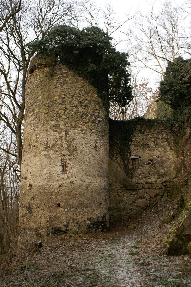
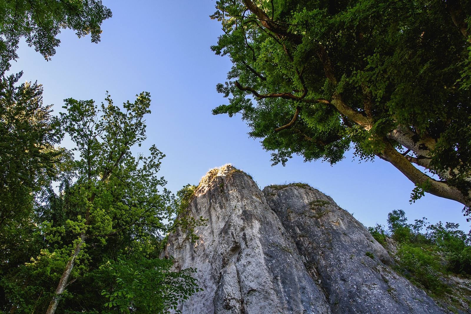
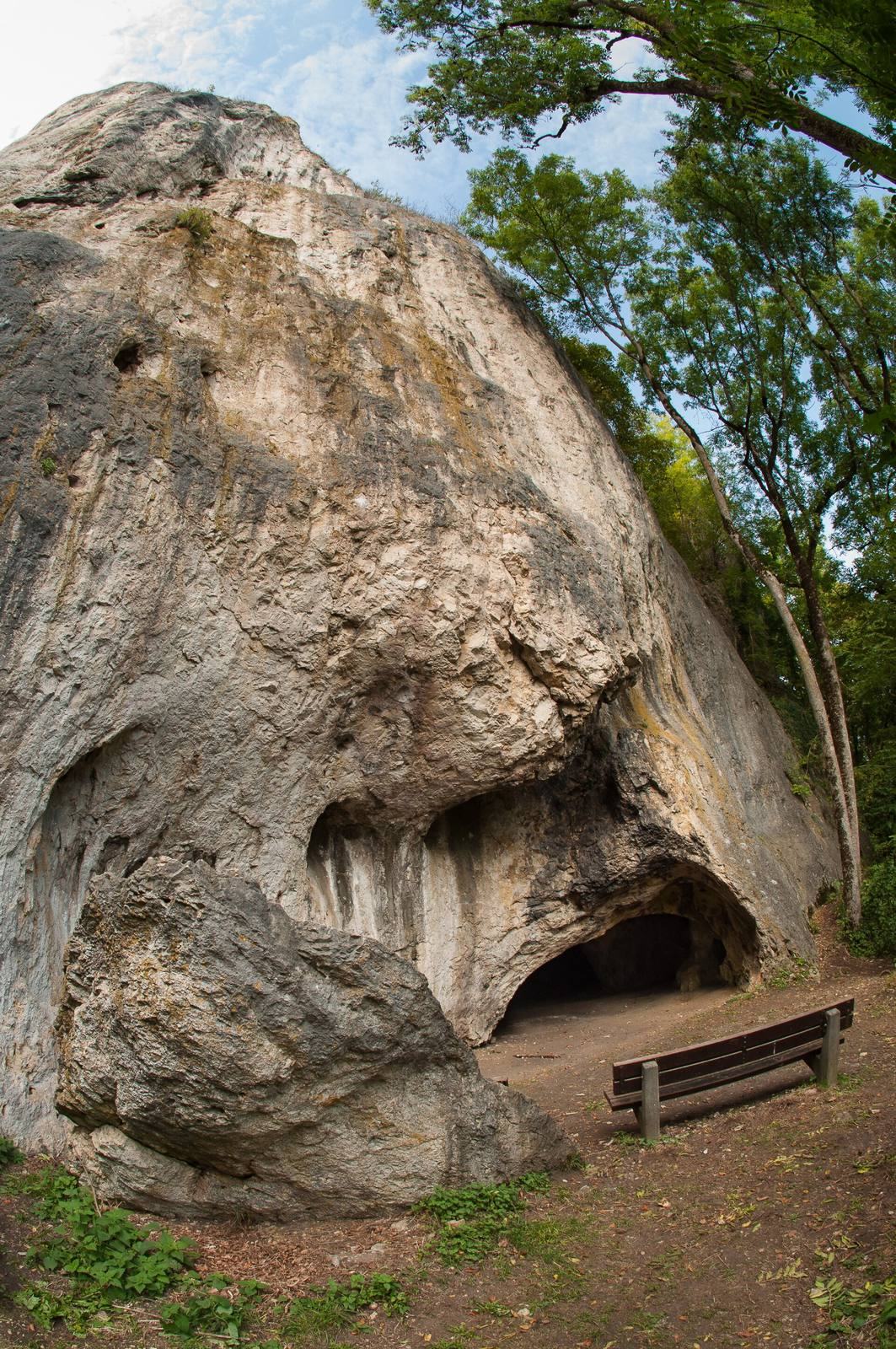
The remains occupy Sirgenstein, a limestone outcrop about 45 metres high and 614 metres above sea level, between Weiler and Schelklingen beside the present B 492. The castle was probably a compact stronghold organized around a fortified tower. Surviving traces include masonry, parts of an enclosure wall, mortar and brick on the rocky plateau, and foundations of the keep, the castle’s principal fortified tower. Zürn measured the castle surface at about 9 by 3 metres; Koch considered that the highest point could hold a building, probably a residential tower, measuring about 8 by 10 metres. On the steep eastern slope, the enclosure wall appears to have extended the usable ground. It ran diagonally toward a defensive ditch cut across the narrow ridge, followed the ditch, and rejoined the tower. Sections of the wall had been concealed by soil and leaf litter.
Approaches and cave
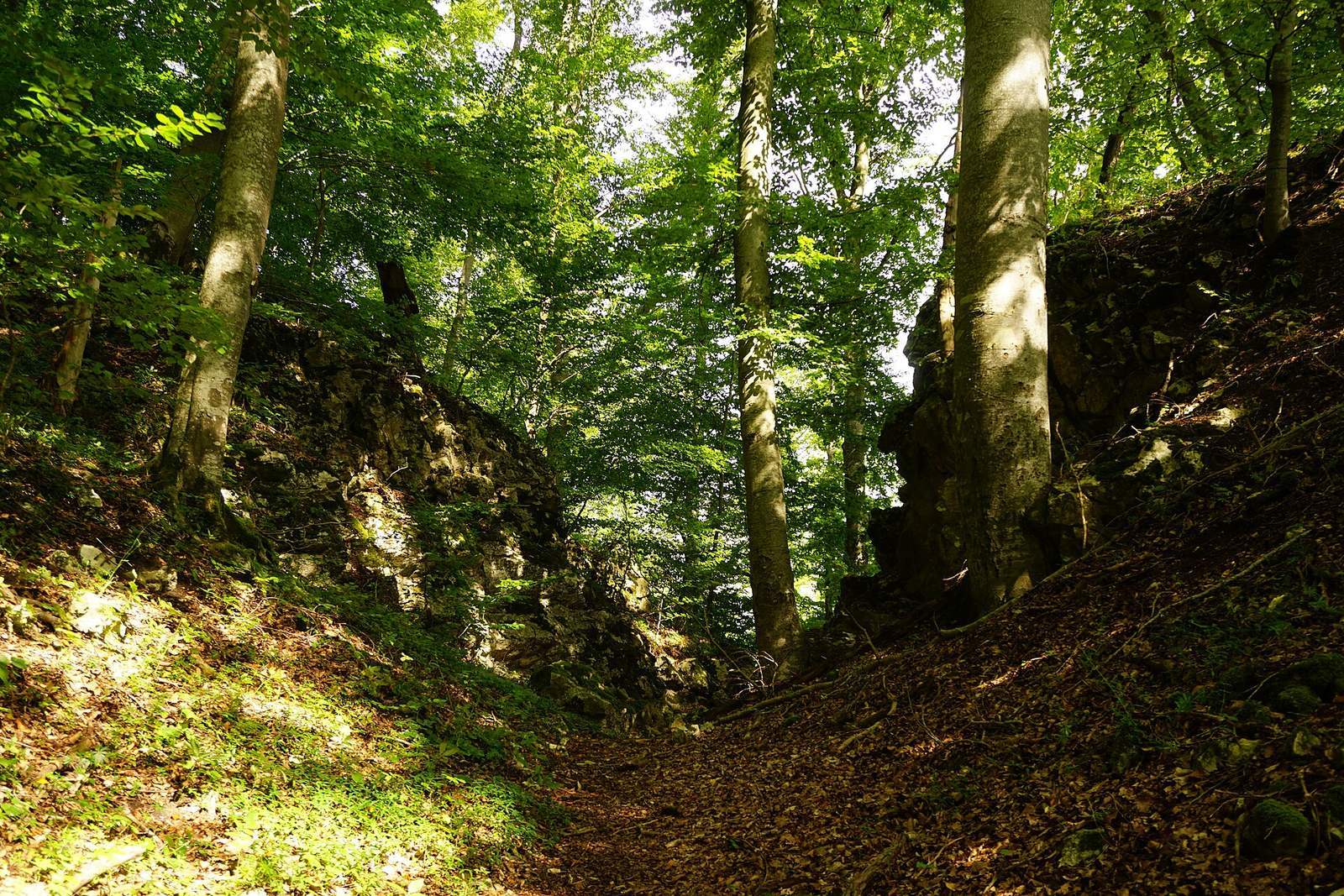
The ditch across the ridge is about 4 to 6 metres deep. Koch proposed an entrance from the northwest, across a narrow ridge and a broad ditch, into a small courtyard below the main building. In this reconstruction, a dwelling, possibly with a cellar, stood beside the entrance, while another structure may have stood by a wooden bridge with a drawbridge. Other proposed approaches include a bridge from the northeast, a climb from the road at the rock’s foot, perhaps through the ditch by a trapdoor, and a rope-winch hoist from the base. These arrangements remain uncertain. A shaft linked the castle area with the cave below, and was probably made to provide light and ventilation. The cave had been inhabited in the Stone Age. It may later have served as a horse stable or storeroom, perhaps both; its cool interior would also have suited food and wine storage.
Buildings and finds below the rock
Four pits found at the rock’s foot during the 1966 road works had been cut into yellow slope deposits and filled with dark cultural soil mixed with debris washed down the slope. Red-burned stones and fire debris lay at their bases, including pieces of daub marked by impressions of poles and rods. Finds included a small number of medieval pottery fragments, some from cylindrical stove tiles, and part of a grindstone. The pits are interpreted as traces of medieval huts below the castle. Large dressed limestone blocks found nearby had fallen from the castle.
Castle stone memorial
A dressed limestone block found during the 1966 works is thought to have come from the keep. It measures 54 by 42 by 64 centimetres and has a roughly worked central projection, or boss, 13 centimetres high, surrounded by a finished margin 3 centimetres wide. The carefully made block is dated to the decades before about 1240–1250. It was set up as a memorial at the beginning of the path to Sirgenstein, with an inscription incorporated into its concrete base.
Landscape and boundary marker
From the rock, the view extends across Riedental, where Höllental branches away; Gleißenburg stood at the end of Höllental. The Ach valley can be followed downstream to where the river passes behind a bend, and upstream toward the Windsparren spur, where St. Nicholas Chapel stood before 1258. Near the junction of the B 492 bypass and the road into Tiefental, a boundary stone dated 1714 bears an Austrian shield, a silver horizontal band on a red field, on one face and the arms of Württemberg on the other.