Gallox Bridge: A Fifteenth-Century Crossing at Dunster
Site at a Glance
- Popularity
- Very Low
- Country
- United Kingdom
- Primary era
- Medieval
- Eras represented
- Medieval
- Civilizations
- English
- Site type
- Infrastructure
- Remains
- Bridge
History
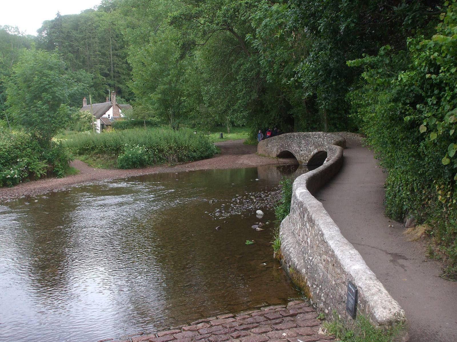
Gallox Bridge is a fifteenth-century stone crossing over the River Avill at Dunster in the United Kingdom. It carried packhorses, animals loaded with goods, to the village market and served a community whose prosperity was closely connected with wool.
Medieval crossing and wool trade
A crossing at this location probably existed earlier. In the fourteenth century it was known as Doddebrigge, while the present bridge dates from the following century. The name Gallox is thought to refer to a nearby village gallows, and the bridge was once called Gallocksbrigge. Its position may also have marked the medieval limit of tidal flow on the river.
The bridge carried wool and other goods to Dunster’s market, which had been established by 1222. By the thirteenth century, the village was producing wool and clothing, including a cloth called “Dunsters,” a type of kersey, or woollen fabric. Wealth from the wool trade helped pay for the tower of St George’s priory church, a church belonging to a religious house led by a prior, as well as other local amenities. Dunster Haven, at the mouth of the Avill near Dunster Beach, also served wool exports from Saxon times until the seventeenth century.
English Heritage, the organization responsible for caring for historic sites in England, has had the bridge in its guardianship since the 1950s. It is a Grade I listed building, a category for buildings of exceptional interest and England’s highest listing grade. Its listing was recorded in 1969, and it is also a scheduled monument, a legally protected historic structure or archaeological site.
Remains
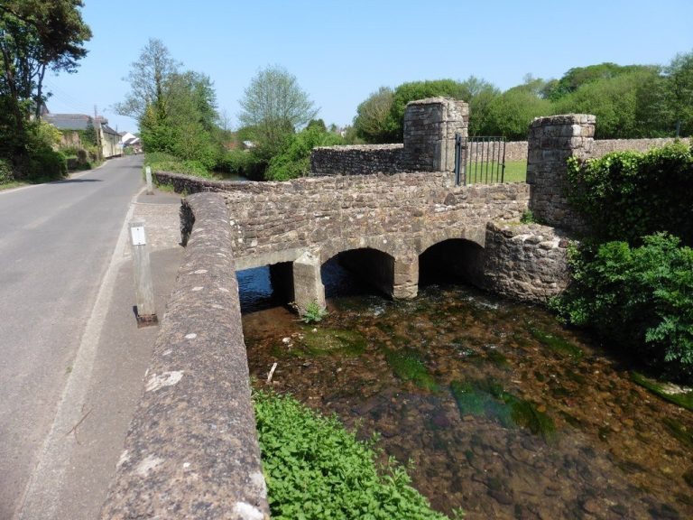
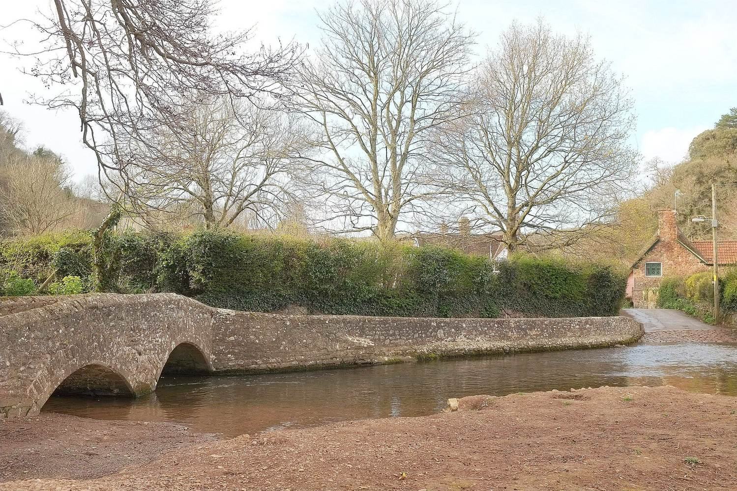
The narrow stone bridge crosses the Avill on Dunster’s southern side, below Dunster Castle. It has two arches and measures 13.5 metres long and 1.9 metres wide overall; the roadway is 1.2 metres wide. Four narrow ribs with sloping edges run along each side.
A raised causeway forms the approach from the village. Pedestrians use the bridge, while wheeled traffic crosses by the adjacent ford. The bridge is near Dunster Working Watermill, at the foot of the hill beneath the castle, and gives access to the deer-park site. The Avill rises on the eastern slopes of Dunkery Beacon, flows north through Timberscombe and Dunster, and reaches the Bristol Channel at Dunster Beach.