Babilonie: An Iron Age Hillfort in Germany
Site at a Glance
- Popularity
- Medium
- Country
- Germany
- Primary era
- Iron Age
- Eras represented
- Iron Age, Classical, Medieval
- Civilizations
- Carolingian, Celtic
- Site type
- Military
- Remains
- Fort
On this page14 sections
History
Iron Age Origins
Babilonie is a hillfort at Kummerbrink near Lübbecke in Germany, with origins around 300–150 BC in the pre-Roman Iron Age. It belongs to the La Tène tradition, a European Iron Age culture. Pottery and metalwork from the site suggest it may have been connected to a wider trading network.
Later Phases and Medieval Traditions
Fortification continued in later periods. One phase dates to the fifth–seventh centuries, and a later core enclosure belongs to the Carolingian–Ottonian period, spanning the Frankish dynasty associated with Charlemagne and the succeeding Ottonian age in the German kingdom. A final phase cannot be dated, and the time when the hillfort was abandoned is unknown.
The Frankish Royal Annals, an early medieval record of events in the Frankish realm, place a battle at Hlidbeki in 775, during Charlemagne’s campaigns against the Saxons. Hlidbeki has been identified with Lübbecke, and Babilonie has often been linked to the battle, but the connection is unproven. A separate legend associates the hillfort with Wittekind, a Saxon leader associated with resistance to Frankish rule.
Name and Archaeological Investigation
The name Babilonie first appears in a record from 1723. Its origin is uncertain, though it may derive from a term meaning “mountain forest.” The hilltop was first mapped after 1880. Friedrich Langewiesche investigated the fort in 1905, 1929–30, 1936 and 1939, followed by Walter Lange in 1952 and Klaus Günther in 1981. Langewiesche interpreted the site as a refuge fort, meaning a fortification used chiefly as shelter in times of danger.
Remains
Hilltop Layout
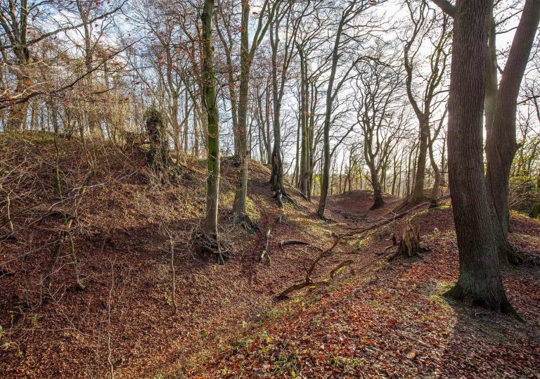
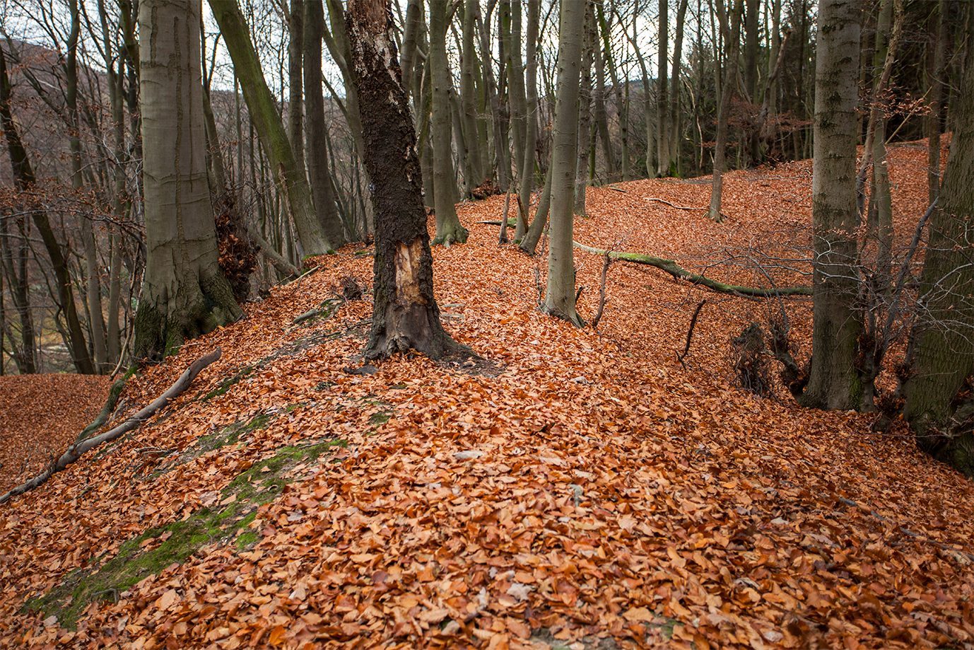
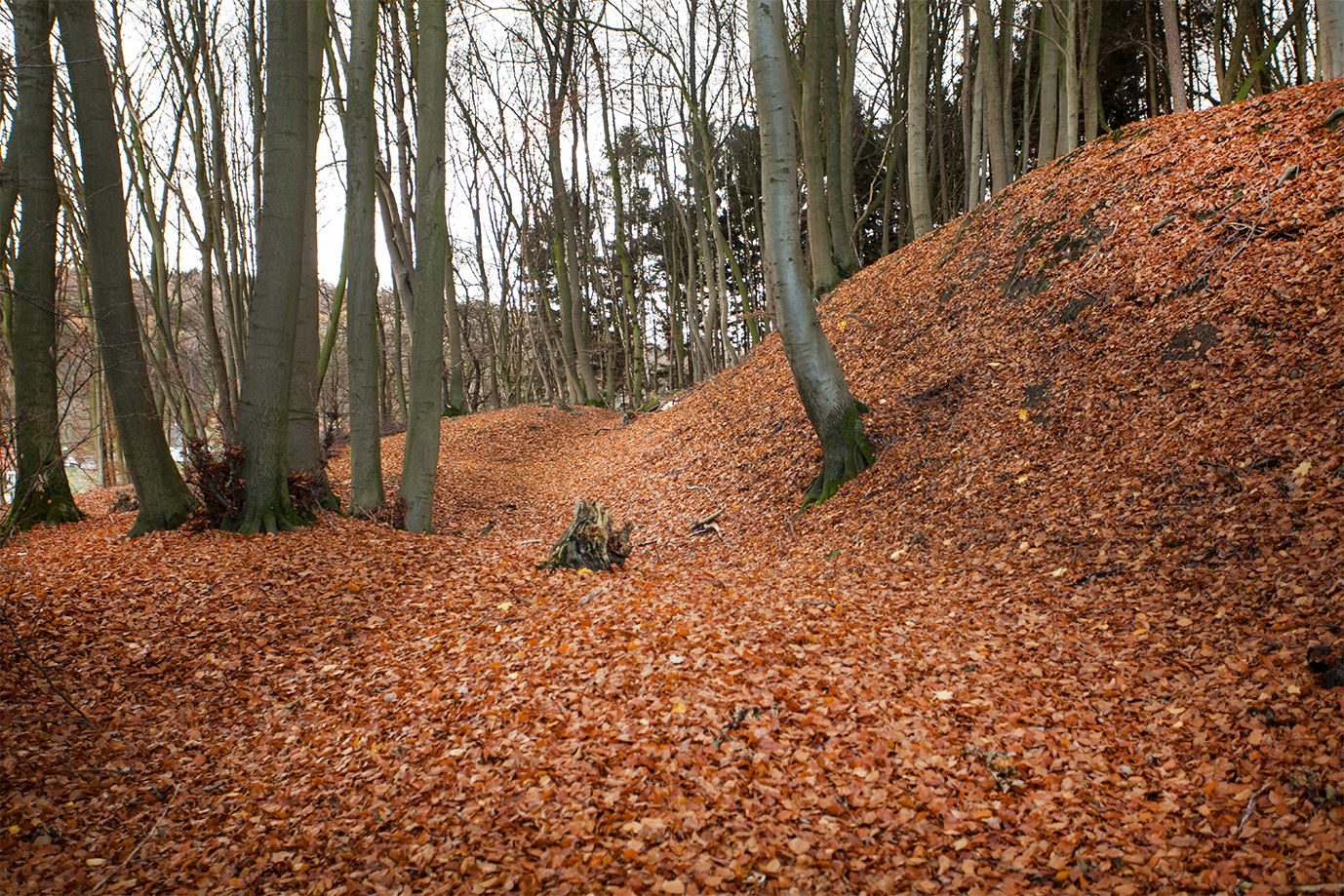
The fort occupies the northern edge of a rounded summit in the Wiehen Hills, above Obermehnen, at about 255.6 metres elevation. A spring rises high on the hill, and the fortified area covers more than 12 hectares. Its wedge-shaped system of defensive banks, or ramparts, follows the slope downhill from south to north. At the southern end, the ramparts enclose an area about 200 by 150 metres. They extend for more than 750 metres along the eastern flank and 450 metres along the western flank. Three successive defensive lines span the roughly 550-metre northern side, where two curved rampart-and-ditch defenses also cross the inner slope.
Successive Defensive Lines
Early Ramparts
The earliest defense was a simple earthen bank without an outer ditch. It enclosed the summit to the south and the spring to the north. A later Iron Age line was added on the northern side, with its ramparts tapering out at either end. The early ramparts were probably built from timber and earth, and were raised several times.
Northeastern and Northern Defenses
In a subsequent phase, builders raised the outer rampart in the northeast and turned it westward until it joined an inner rampart from the earliest defenses. A V-shaped ditch, about 5 metres wide and 1.9 metres deep, protected part of this line. Another outer defensive line was added farther north. The system also incorporates outer ramparts and terrace edges that extend forward along the slope.
Core Enclosure
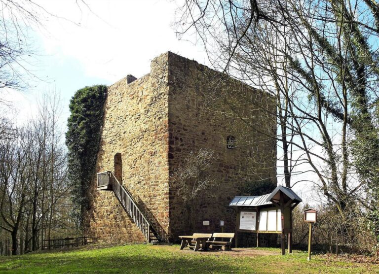
A later rampart set off an inner core enclosure, with a flat-bottomed ditch about 4 metres wide. Its pincers gate was approached between projecting defensive lines. In the final phase, a mortar-built masonry wall reduced the enclosure in its northern half. A V-shaped ditch 4–5 metres wide stood before the wall, with a raised outer edge. In places, traces of an upright timber barrier lie in front of a dry-stone wall, built from stones laid without mortar. The construction methods cannot be assigned securely to individual phases.
Interior and Excavated Finds
Living Platforms and Buildings
Excavations within the fort have focused on the core enclosure, where they revealed living platforms and traces of buildings supported by upright posts. These features cannot be assigned confidently to a particular fortification phase.
Finds
Excavated material includes finds from the pre-Roman Iron Age and fragments of medieval rounded cooking pots.
Other Identified Features
Identified features include a path through the northern rampart of the outer enclosure and a monument to Friedrich Langewiesche.