Ahwat: An Archaeological Settlement near Katzir, Israel
Site at a Glance
- Popularity
- Medium
- Country
- Israel
- Primary era
- Iron Age
- Eras represented
- Iron Age, Classical
- Civilizations
- Roman
- Site type
- Military
- Remains
- Fortified Town
On this page15 sections
History
Ahwat is an archaeological settlement near Katzir, Israel, whose builders and precise chronology remain disputed. Its unusual architecture has prompted the proposal that it was connected with the Shardana, one of the groups now collectively called the Sea Peoples.
Discovery and chronology
Archaeologist Adam Zertal discovered Ahwat in November 1992 during the Manasseh Hill Country Survey. Later archaeological work included teams from the University of Cagliari in Sardinia. The settlement was occupied for about 50 years, but its date is contested.
Zertal placed the settlement around 1160–1150 BCE. Israel Finkelstein dated it roughly a century later, drawing on pottery comparisons and radiocarbon dates from comparable sites. These proposals place Ahwat around the transition between the Late Bronze Age and Iron I, archaeological periods spanning the shift from the second to the first millennium BCE.
The Shardana and Sardinian proposals
Zertal proposed that Ahwat was a Shardana settlement and that its distinctive architecture reflected connections with Sardinia. He considered it a possible local center for the group. Egyptian texts, including the Amarna letters and inscriptions concerning Ramesses III’s war against the Sea Peoples, mention the Shardana. Ramesses III’s inscriptions also say that he settled them in Canaan. The Egyptian geographical text known as the Onomasticon of Amenope, dated to about 1100 BCE, places the Shardana near other Sea Peoples groups.
The proposed Sardinian connection has a longer history. In the 1880s, French scholar Gaston Maspero argued for a Sardinian origin for the Shardana on linguistic grounds. Albrecht Alt placed them in the Acre Valley, while Zertal favored the Nahal Iron area. Finkelstein instead interpreted Ahwat as a local Iron I settlement. He considered its pottery and seal-related material indigenous to the Levant, and cited similar incised pottery from other Israeli sites and evidence that an incised ceramic vessel was made locally. He also argued that the massive walls were built in the late Roman period over separate Iron Age remains. The relationship between the walls and the settlement remains contested. Archaeologist Bar Shay has argued for a Shardana interpretation, pointing to architectural connections with Sardinia.
Proposed biblical identification
Zertal also suggested that Ahwat might be Harosheth Haggoyim, the place associated in the biblical Book of Judges with Sisera, commander of Jabin, king of Hazor. In that account, Sisera is opposed by Barak ben Avinoam. Zertal considered his proposed date compatible with the arrival of the Sea Peoples and the conflict between Sisera and Barak. The Kishon River, where the biblical battle is set, lies about 14 km from Ahwat. He further proposed that Sisera might have come from a Sea Peoples group, perhaps with Sardinian origins. The identification of Ahwat as Harosheth Haggoyim remains a hypothesis.
Remains
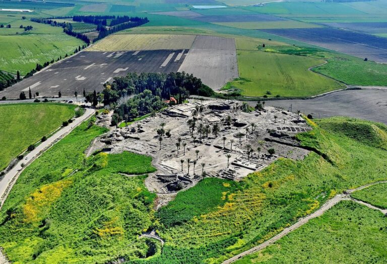
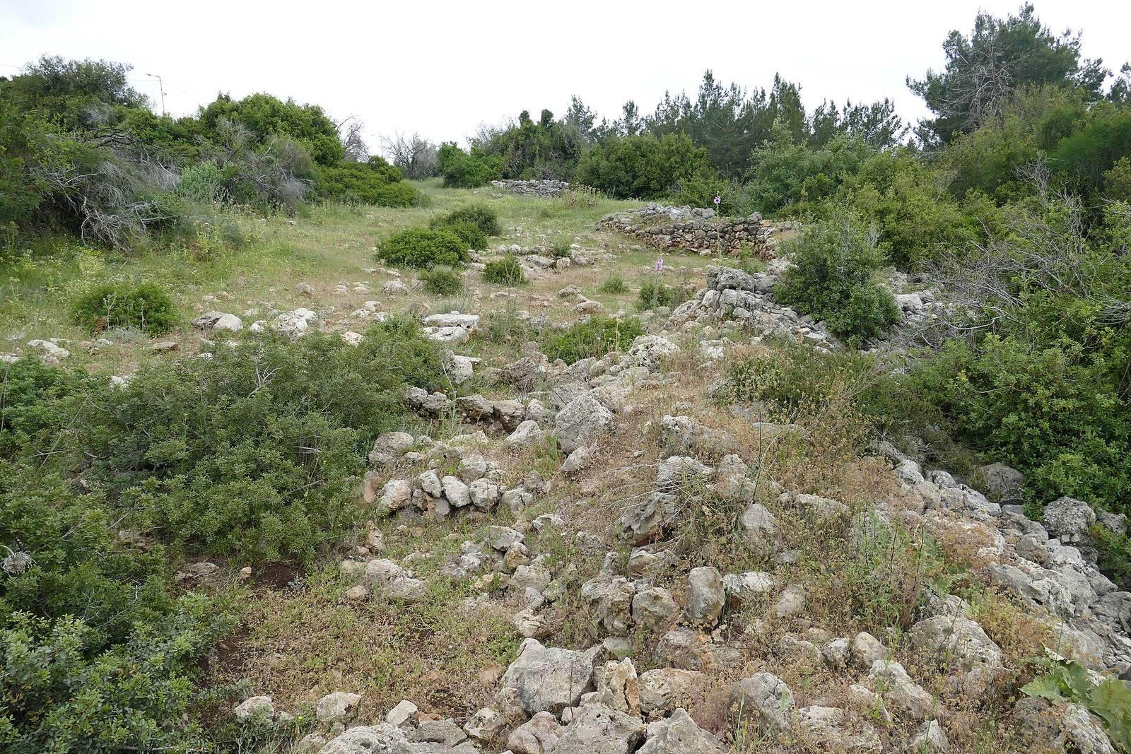
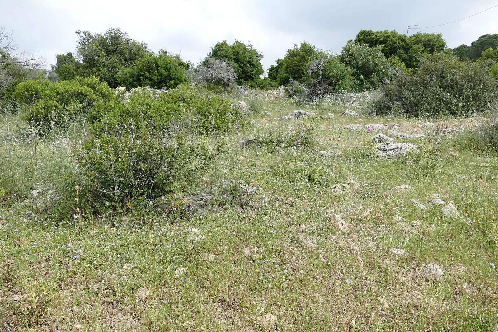
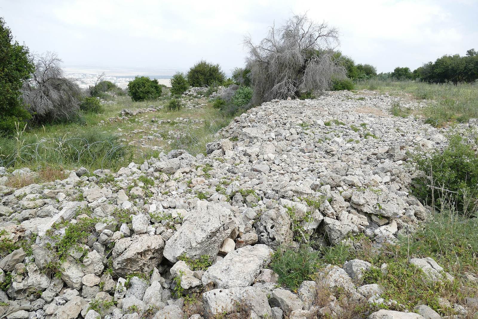
Ahwat covers about 30,000 square metres in woodland on the western slope of the ridge occupied by Katzir, in northwestern Samaria. It lies south of the Nahal Iron, or Wadi Ara, road. Springs south of Ar’ara and the ancient Via Maris are nearby. The settlement’s broad, irregular enclosure wall and the buildings incorporated into it shape the excavated layout.
Settlement layout
Enclosing wall and gate
An irregular, undulating wall enclosed the settlement. Its northern end contained the city gate, with a triangular plaza in front. The wall’s form has been compared with nuraghi, distinctive prehistoric stone structures in Sardinia. Four small sites near Kerem Maharal also have similar forms.
Buildings within the enclosure
Residential rooms and cells abut the enclosure wall and were built into it. The dwellings and wall were constructed and used together, although the chronology of the massive wall is disputed. The excavated area also includes a large building and purpose-built storage cells.
Governor’s House
The building identified as the Governor’s House measures about 22 by 15 metres. Its walls are exceptionally thick, at approximately 2 metres. An oven at the site was probably used to heat iron ore rather than to smelt it.
Other architectural features
Corridor-like spaces
Four corridor-like spaces were built into the city wall, each with an entrance facing inward toward the settlement. Three are straight and one is oval. Their function is unknown.
Rounded stone huts
Rounded stone huts with corbelled domes are among Ahwat’s unusual structures. A corbelled dome is formed by laying successive stone courses inward until they meet. One hut was found in a clearly defined layer assigned to early Iron I and dated to about 1220–1170 BCE. Although similar hut forms are known from Roman and Byzantine periods, the Ahwat examples have been considered Iron Age constructions.
Finds from the Governor’s House
Ivory ibex head
An ivory carving of an ibex head came from the Governor’s House. It dates to the second half of the Late Bronze Age, when objects of this kind were often associated with Egypt. It may have served as a luxury fitting on a vessel involved in pharaonic trade.
Bronze chariot fitting
A small bronze object from the Governor’s House is about 2 cm across and 5 mm thick. It shows a woman’s face wearing a cap and earrings shaped like chariot wheels. Dated to the 14th–13th centuries BCE, it was broken off in antiquity from a longer object. It has been identified as a linchpin from the wheel of a high-ranking person’s war chariot, but that interpretation does not establish a connection with Sisera.